Home Coppice

Wood, Forest in Dorset

England

Home Coppice

Deans Drove
Deans Drove Credit: Alex McGregor

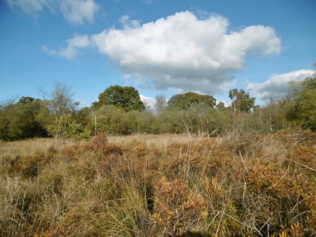
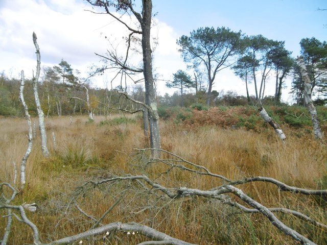
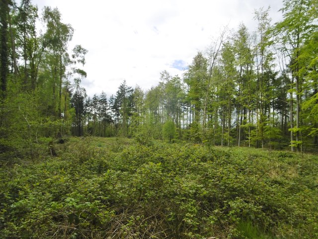
Home Coppice is a picturesque woodland located in the county of Dorset, England. Situated in the heart of the region, this enchanting forest covers an area of approximately 100 acres. The woodland is predominantly made up of native broadleaf trees, including oak, beech, and ash, creating a diverse and thriving ecosystem.

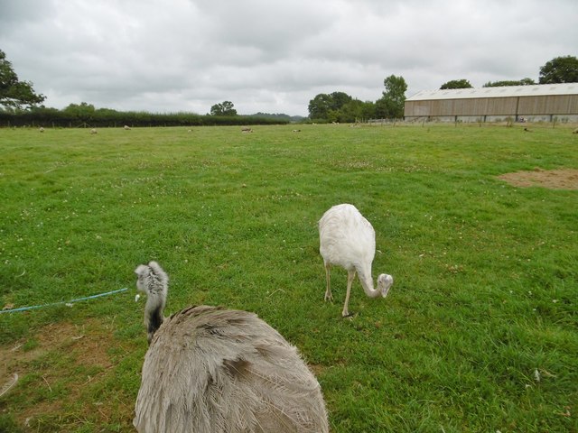
Home Coppice is renowned for its stunning natural beauty and tranquil atmosphere. The forest is a haven for wildlife, providing a peaceful habitat for a variety of species. Visitors to the area may spot deer, foxes, and an array of birdlife, making it a popular destination for nature enthusiasts and photographers alike.

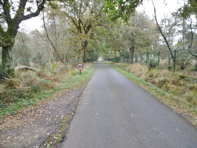
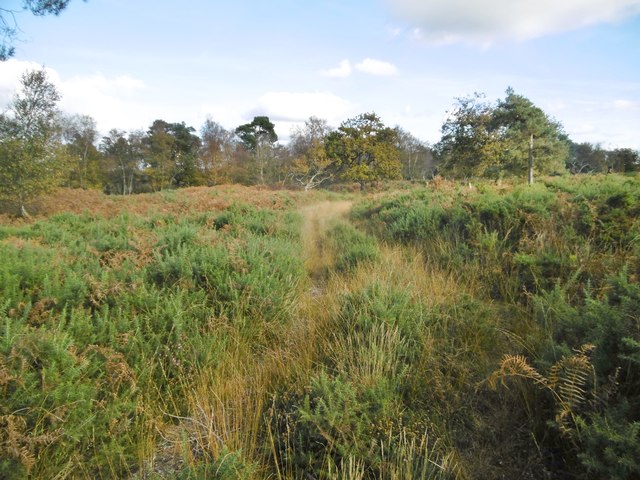
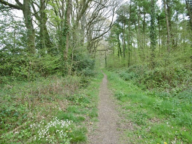
The woodland is crisscrossed by a network of well-maintained trails, offering visitors the opportunity to explore the forest on foot. These paths wind through the trees, revealing hidden glades and offering breathtaking views of the surrounding countryside. The trails are suitable for all ages and abilities, making it an ideal destination for families and outdoor enthusiasts.

In addition to its natural beauty, Home Coppice has historical significance. The forest has been managed for centuries, and remnants of ancient woodlands can still be found throughout the area. These remnants serve as a reminder of the area's rich cultural heritage.

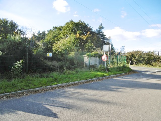
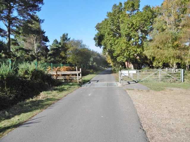
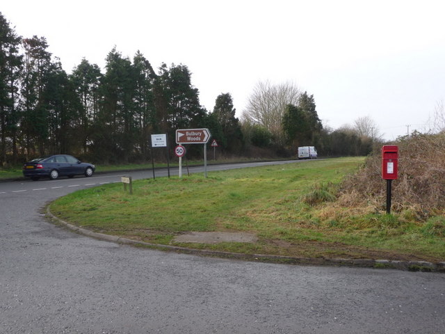
Home Coppice is easily accessible, with a car park located nearby and public transportation options available. The forest is open to the public year-round, allowing visitors to experience its beauty in every season. Whether for a peaceful walk, wildlife spotting, or simply to connect with nature, Home Coppice offers a truly enchanting experience in the heart of Dorset.

If you have any feedback on the listing, please let us know in the comments section below.

Home Coppice Images

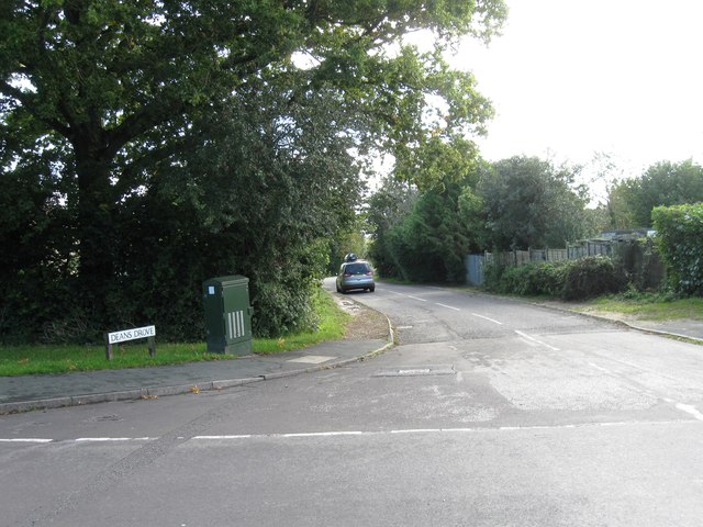
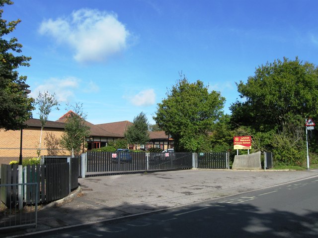
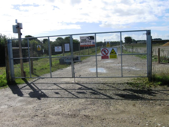
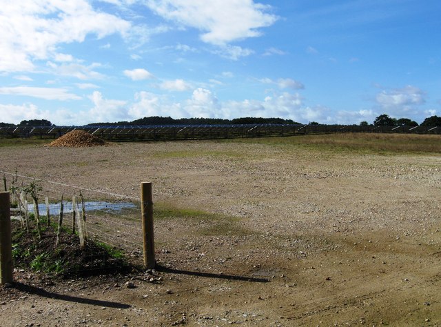
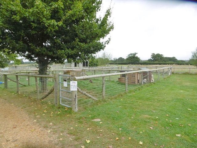
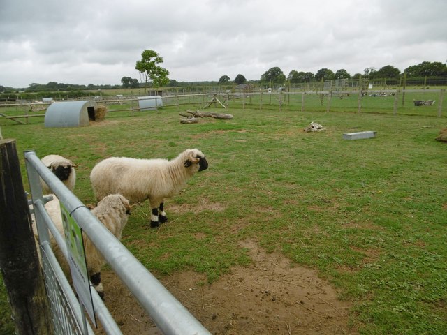
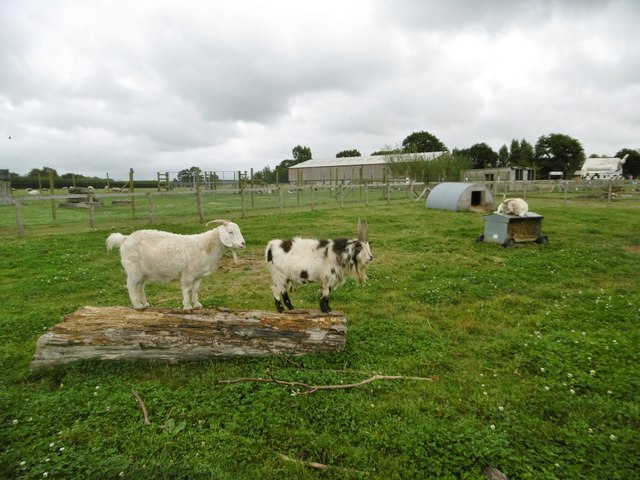
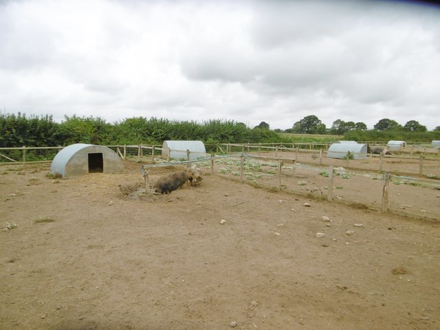
Images are sourced within 2km of 50.735817/-2.0852257 or Grid Reference SY9492. Thanks to Geograph Open Source API. All images are credited.

Deans Drove
Deans Drove
Entrance to Lytchett Matravers Primary School
Entrance to Solar Farm
Solar Farm
Solar Farm
Organford, poultry enclosure At Farmer Palmers Farm Park: <span class="nowrap"><a title="http://farmerpalmers.co.uk/" rel="nofollow ugc noopener" href="http://farmerpalmers.co.uk/">Link</a><img style="margin-left:2px;" alt="External link" title="External link - shift click to open in new window" src="https://s1.geograph.org.uk/img/external.png" width="10" height="10"/></span>
Organford, poultry enclosure
At Farmer Palmers Farm Park: LinkExternal link
Organford, sheep Valais sheep at Farmer Palmers Park Farm: <span class="nowrap"><a title="http://farmerpalmers.co.uk/" rel="nofollow ugc noopener" href="http://farmerpalmers.co.uk/">Link</a><img style="margin-left:2px;" alt="External link" title="External link - shift click to open in new window" src="https://s1.geograph.org.uk/img/external.png" width="10" height="10"/></span>
Organford, sheep
Valais sheep at Farmer Palmers Park Farm: LinkExternal link
Organford, goats Angora goats at Farmer Palmers Farm Park: <span class="nowrap"><a title="http://farmerpalmers.co.uk/" rel="nofollow ugc noopener" href="http://farmerpalmers.co.uk/">Link</a><img style="margin-left:2px;" alt="External link" title="External link - shift click to open in new window" src="https://s1.geograph.org.uk/img/external.png" width="10" height="10"/></span>
Organford, goats
Angora goats at Farmer Palmers Farm Park: LinkExternal link
Organford, pigs Kune Kune pigs at Farmer Palmers Farm Park: <span class="nowrap"><a title="http://farmerpalmers.co.uk/" rel="nofollow ugc noopener" href="http://farmerpalmers.co.uk/">Link</a><img style="margin-left:2px;" alt="External link" title="External link - shift click to open in new window" src="https://s1.geograph.org.uk/img/external.png" width="10" height="10"/></span>
Organford, pigs
Kune Kune pigs at Farmer Palmers Farm Park: LinkExternal link
Organford, rheas In the sheep enclosure at Farmer Palmers Farm Park: <span class="nowrap"><a title="http://farmerpalmers.co.uk/" rel="nofollow ugc noopener" href="http://farmerpalmers.co.uk/">Link</a><img style="margin-left:2px;" alt="External link" title="External link - shift click to open in new window" src="https://s1.geograph.org.uk/img/external.png" width="10" height="10"/></span>
Organford, rheas
In the sheep enclosure at Farmer Palmers Farm Park: LinkExternal link
Holton Lee, access road From Sandford Road (A351) to Holton Lee; left and right heathland, parts of nature reserves, though the right hand side is not open to the public because of potential dangers.
Holton Lee, access road
From Sandford Road (A351) to Holton Lee; left and right heathland, parts of nature reserves, though the right hand side is not open to the public because of potential dangers.
Holton Heath, guard post At the northwestern boundary of the former Royal Navy Cordite Factory.
Holton Heath, guard post
At the northwestern boundary of the former Royal Navy Cordite Factory.
East Holton, wetland A deceptive landscape; tussocks hide patches of bog. Leaf scorching on the shrubs might be caused by attempts to deradicate an invasive shrub, Gaultheria.
East Holton, wetland
A deceptive landscape; tussocks hide patches of bog. Leaf scorching on the shrubs might be caused by attempts to deradicate an invasive shrub, Gaultheria.
East Holton, heathland A sombre landscape of grass, gorse and pine, on the Holton & Sandford Heaths SSSI: <span class="nowrap"><a title="https://designatedsites.naturalengland.org.uk/UnitDetail.aspx?UnitId=1018670&SiteCode=S2000234&SiteName=&countyCode=12&responsiblePerson=MATTHEW%20LOW" rel="nofollow ugc noopener" href="https://designatedsites.naturalengland.org.uk/UnitDetail.aspx?UnitId=1018670&SiteCode=S2000234&SiteName=&countyCode=12&responsiblePerson=MATTHEW%20LOW">Link</a><img style="margin-left:2px;" alt="External link" title="External link - shift click to open in new window" src="https://s1.geograph.org.uk/img/external.png" width="10" height="10"/></span> and Holton Lee Estate: <span class="nowrap"><a title="http://www.holtonlee.org/" rel="nofollow ugc noopener" href="http://www.holtonlee.org/">Link</a><img style="margin-left:2px;" alt="External link" title="External link - shift click to open in new window" src="https://s1.geograph.org.uk/img/external.png" width="10" height="10"/></span>
East Holton, heathland
A sombre landscape of grass, gorse and pine, on the Holton & Sandford Heaths SSSI: LinkExternal link and Holton Lee Estate: LinkExternal link
East Holton, track Across heathland towards the farmhouse, on Holton & Sandford Heaths SSSI: <span class="nowrap"><a title="https://designatedsites.naturalengland.org.uk/UnitDetail.aspx?UnitId=1018670&SiteCode=S2000234&SiteName=&countyCode=12&responsiblePerson=MATTHEW%20LOW" rel="nofollow ugc noopener" href="https://designatedsites.naturalengland.org.uk/UnitDetail.aspx?UnitId=1018670&SiteCode=S2000234&SiteName=&countyCode=12&responsiblePerson=MATTHEW%20LOW">Link</a><img style="margin-left:2px;" alt="External link" title="External link - shift click to open in new window" src="https://s1.geograph.org.uk/img/external.png" width="10" height="10"/></span> and the Holton Lee Estate: <span class="nowrap"><a title="http://www.holtonlee.org/" rel="nofollow ugc noopener" href="http://www.holtonlee.org/">Link</a><img style="margin-left:2px;" alt="External link" title="External link - shift click to open in new window" src="https://s1.geograph.org.uk/img/external.png" width="10" height="10"/></span>
East Holton, track
Across heathland towards the farmhouse, on Holton & Sandford Heaths SSSI: LinkExternal link and the Holton Lee Estate: LinkExternal link
East Holton, cattle grid On the access road from Holton Lee to Sandford Road. <span class="nowrap"><a title="http://www.holtonlee.org/" rel="nofollow ugc noopener" href="http://www.holtonlee.org/">Link</a><img style="margin-left:2px;" alt="External link" title="External link - shift click to open in new window" src="https://s1.geograph.org.uk/img/external.png" width="10" height="10"/></span>
East Holton, cattle grid
On the access road from Holton Lee to Sandford Road. LinkExternal link
Organford, Foxhills Road Through woodland, from Lytchett Matravers to A35.
Organford, Foxhills Road
Through woodland, from Lytchett Matravers to A35.
Lytchett Matravers, footpath Skirting woodland, from Foxhills Road to Post Green. Note the stitchwort in bloom.
Lytchett Matravers, footpath
Skirting woodland, from Foxhills Road to Post Green. Note the stitchwort in bloom.
Lytchett Matravers, clearing In mixed woodland on the path to Post Green.
Lytchett Matravers, clearing
In mixed woodland on the path to Post Green.
Show me another place!

Home Coppice is located at Grid Ref: SY9492 (Lat: 50.735817, Lng: -2.0852257)

Unitary Authority: Dorset

Police Authority: Dorset

What 3 Words

///forwarded.hairpin.coil. Near Lytchett Matravers, Dorset

Related Wikis

Organford

Organford is a hamlet in the county of Dorset, England. It is located just south of the A35 between Lytchett Minster and Slepe. == References ==

Slepe

Slepe is a hamlet in the county of Dorset, England. It is located on the A35 east of Organford. == References ==

Lytchett Minster School

Lytchett Minster School is a comprehensive school, with about 1,400 students aged 11 to 18, and 100 teachers, in Lytchett Minster, just outside Upton,...

Lytchett Minster

Lytchett Minster is a village in Dorset, England. It lies around 4 miles (6.4 km) north-west of Poole town centre. The village forms part of the civil...

Nearby Amenities

Located within 500m of 50.735817,-2.0852257
Power: tower
Source: bing
Lat/Long: 50.7362992/-2.0786661
Power: tower
Source: bing
Lat/Long: 50.7386998/-2.0802355
Material: wood
Power: pole
Ref: 16
Source: bing
Source Ref: interpolation
Lat/Long: 50.7323591/-2.085867
Material: wood
Power: pole
Ref: 15
Source: bing
Source Ref: interpolation
Lat/Long: 50.7329956/-2.0859389
Material: wood
Power: pole
Ref: 14
Source: bing
Source Ref: interpolation
Lat/Long: 50.7335769/-2.0859956
Material: wood
Power: pole
Ref: 13
Source: bing
Source Ref: interpolation
Lat/Long: 50.7341017/-2.0862931
Man Made: surveillance
Surveillance Type: camera
Lat/Long: 50.7367748/-2.0864577
Fire Hydrant
Emergency: fire_hydrant
Fire Hydrant Diameter: 125
Fire Hydrant Type: underground
Ref: 002302
Source: GPS+GLONASS
Lat/Long: 50.73196/-2.086899
Fire Hydrant
Emergency: fire_hydrant
Fixme: Is this a real fire hydrant?
Source: GPS+GLONASS
Lat/Long: 50.733686/-2.087157
Location: underground
Source: GPS+GLONASS
Washout Diameter: 125
Water: wash_out
Lat/Long: 50.734313/-2.087618
Marker: post
Phone: +44 800 2940078
Ref: PO30SY938928CP30
Source: survey
Utility: gas
Lat/Long: 50.7356726/-2.088165
Fire Hydrant
Emergency: fire_hydrant
Fire Hydrant Diameter: 125
Fire Hydrant Type: underground
Ref: 13275
Source: GPS+GLONASS
Lat/Long: 50.736387/-2.088402
Fire Hydrant
Emergency: fire_hydrant
Fixme: Is this a real fire hydrant?
Source: GPS+GLONASS
Lat/Long: 50.737236/-2.088649
Fire Hydrant
Emergency: fire_hydrant
Fixme: Is this a real fire hydrant?
Source: GPS+GLONASS
Lat/Long: 50.73725/-2.088636
Marker: post
Phone: +44 800 2940078
Ref: p030sy938931cp020
Utility: gas
Lat/Long: 50.7376017/-2.0886703
Fire Hydrant
Emergency: fire_hydrant
Fire Hydrant Diameter: 100
Fire Hydrant Type: underground
Ref: 14893
Source: GPS+GLONASS
Lat/Long: 50.739705/-2.087864
Material: wood
Power: pole
Ref: 17
Source: bing
Source Ref: interpolation
Lat/Long: 50.7317375/-2.0858034
Material: wood
Power: pole
Ref: 12
Source: bing
Source Ref: interpolation
Lat/Long: 50.7346167/-2.0865925
Material: wood
Power: pole
Ref: 11
Source: bing
Source Ref: interpolation
Lat/Long: 50.7352428/-2.086945
Material: wood
Power: pole
Ref: 10
Source: bing
Source Ref: interpolation
Lat/Long: 50.7358908/-2.0872982
Material: wood
Power: pole
Ref: 9
Source: bing
Source Ref: interpolation
Lat/Long: 50.7365241/-2.086937
Pikes Farm
Material: wood
Power: pole
Ref: 8
Source: bing
Source Ref: survey
Transformer: distribution
Voltage Primary: 11000
Voltage Secondary: 400
Voltage Tertiary: 230
Lat/Long: 50.7371157/-2.0865824
Material: wood
Power: pole
Ref: 7
Source: bing
Source Ref: interpolation
Lat/Long: 50.7373197/-2.0864443
Material: wood
Power: pole
Ref: 6
Source: bing
Source Ref: interpolation
Lat/Long: 50.7380214/-2.0860277
Material: wood
Power: pole
Ref: 5
Source: bing
Source Ref: interpolation
Switch: recloser
Lat/Long: 50.7388101/-2.0855784
Material: wood
Power: pole
Ref: 4
Source: bing
Source Ref: interpolation
Lat/Long: 50.7396061/-2.0851085
Location Transition: yes
Material: wood
Power: pole
Ref: 3
Source: bing
Source Ref: interpolation
Transformer: distribution
Voltage Primary: 11000
Voltage Secondary: 400
Voltage Tertiary: 230
Lat/Long: 50.7402967/-2.084658
Material: wood
Power: pole
Source: bing
Lat/Long: 50.7371666/-2.0871078
Material: wood
Power: pole
Source: bing
Lat/Long: 50.7372152/-2.0876283
Material: wood
Power: pole
Source: bing
Lat/Long: 50.7372632/-2.0881777
Material: wood
Power: pole
Source: bing
Lat/Long: 50.7373279/-2.0887134
Camera Direction: 300
Camera Mount: pole
Camera Type: fixed
Height: 5
Man Made: surveillance
Surveillance: public
Surveillance Type: camera
Lat/Long: 50.7373676/-2.0889641
Material: wood
Power: pole
Source: bing
Lat/Long: 50.737406/-2.089356
Material: wood
Power: pole
Source: bing
Lat/Long: 50.7375073/-2.090015
Material: wood
Power: pole
Source: bing
Lat/Long: 50.7375701/-2.0910705
Material: wood
Power: pole
Source: bing
Lat/Long: 50.7375871/-2.0905811
Material: wood
Power: pole
Source: bing
Lat/Long: 50.7377846/-2.0908207
Material: wood
Power: pole
Source: bing
Lat/Long: 50.7316023/-2.0869015
Material: wood
Power: pole
Source: bing
Lat/Long: 50.7320711/-2.0869386
Material: wood
Power: pole
Source: bing
Lat/Long: 50.7325323/-2.0869792
Farmer Palmer’s Farm Park
Entrance: yes
Lat/Long: 50.7319193/-2.0883138
Farmer Palmer’s Gift Shop
Shop: gift
Lat/Long: 50.7318885/-2.0882636
Camera Direction: 85
Camera Mount: pole
Camera Type: fixed
Height: 5
Man Made: surveillance
Surveillance: public
Surveillance Type: camera
Lat/Long: 50.7373623/-2.0889576
Camera Direction: 80
Camera Mount: pole
Camera Type: fixed
Height: 5
Man Made: surveillance
Surveillance: public
Surveillance Type: camera
Lat/Long: 50.7373672/-2.0889576
Camera Direction: 290
Camera Mount: pole
Camera Type: fixed
Height: 5
Man Made: surveillance
Surveillance: public
Surveillance Type: camera
Lat/Long: 50.7373636/-2.088968
Bus Stop
Organford Cross
Bench: no
Bin: no
Bus: yes
Lit: no
Naptan AtcoCode: 1200DOA25118
Naptan Bearing: N
Naptan CommonName: Organford Cross
Naptan Indicator: N-bound
Naptan NaptanCode: dordmjdm
Naptan Street: Wareham Road
Naptan Verified: no
Public Transport: platform
Shelter: no
Tactile Paving: no
Wheelchair: yes
Lat/Long: 50.7364602/-2.0884672
Bus Stop
Organford, Farmer Palmers
Bench: no
Bin: no
Bus: yes
Lit: no
Naptan AtcoCode: 1200DOA25119
Naptan Bearing: N
Naptan CommonName: Farmer Palmers
Naptan Indicator: N-bound
Naptan NaptanCode: dordmjdp
Naptan Street: Wareham Road
Naptan Verified: no
Public Transport: platform
Shelter: no
Tactile Paving: no
Wheelchair: yes
Lat/Long: 50.734946/-2.0880568
Bus Stop
Organford, Farmer Palmers
Bench: no
Bin: no
Bus: yes
Lit: no
Naptan AtcoCode: 1200DOA25120
Naptan Bearing: S
Naptan CommonName: Farmer Palmers
Naptan Indicator: S-bound
Naptan NaptanCode: dordmjdt
Naptan Street: Wareham Road
Naptan Verified: no
Public Transport: platform
Shelter: no
Tactile Paving: no
Lat/Long: 50.7349112/-2.0879643
Bus Stop
Organford Cross
Bench: no
Bin: no
Bus: yes
Lit: no
Naptan AtcoCode: 1200WDX38441
Naptan Bearing: S
Naptan CommonName: Organford Cross
Naptan Indicator: S-bound
Naptan NaptanCode: dorawpgj
Naptan Street: Wareham Road
Naptan Verified: no
Public Transport: platform
Shelter: no
Tactile Paving: no
Lat/Long: 50.7364433/-2.0883653
Papushka Fields
Addr Street: Dorchester Road
Postal Code: BH16 6FE
Tourism: camp_site
Lat/Long: 50.7368892/-2.084756
Drinking Water
Lat/Long: 50.735941/-2.0855785
Marker: post
Note: C.P.No SAND
Ref: RX1
Size: 8 inch
Utility: gas
Lat/Long: 50.737601/-2.0886851
Marker: pole
Operator: Southern Gas Networks
Phone: +44 800 2940078
Source: survey
Utility: gas
Lat/Long: 50.7356747/-2.0881453
Marker: post
Operator: Southern Gas Networks
Phone: +44 800 2940078
Source: survey
Utility: gas
Lat/Long: 50.7354846/-2.088209
The data included in this document is from www.openstreetmap.org. The data is made available under ODbL.

Have you been to Home Coppice?

Leave your review of Home Coppice below (or comments, questions and feedback).