Butter Burn Wood

Wood, Forest in Northumberland

England

Butter Burn Wood

Giant Redwoods in Dukeshouse Wood A cluster of Giant Redwoods suggest that this area was originally an ornamental woodland.
Giant Redwoods in Dukeshouse Wood Credit: Oliver Dixon

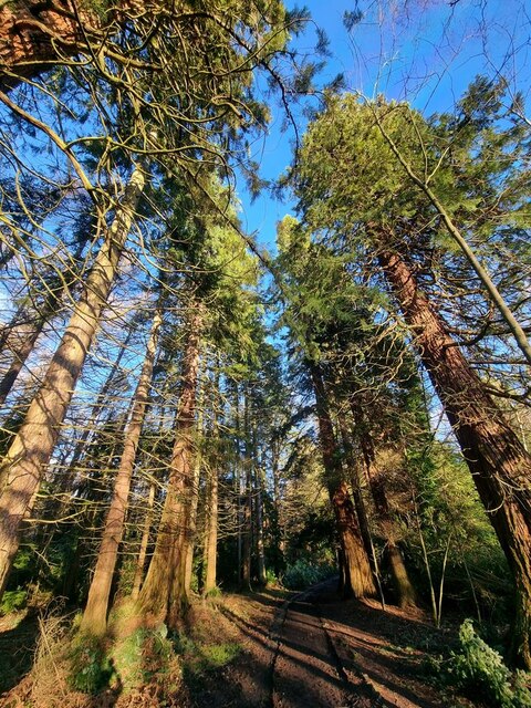
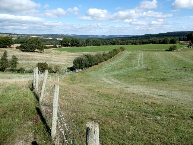
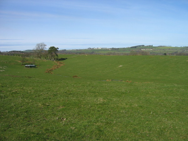
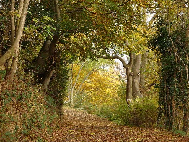
Butter Burn Wood is a picturesque forest located in Northumberland, England. Covering an area of approximately 100 acres, this woodland is known for its abundant natural beauty and diverse range of flora and fauna.

The wood is predominantly composed of deciduous trees such as oak, birch, and beech, which create a stunning kaleidoscope of colors during the autumn season. The dense canopy provides a perfect habitat for a variety of wildlife, including deer, foxes, and a wide range of bird species such as woodpeckers and owls.

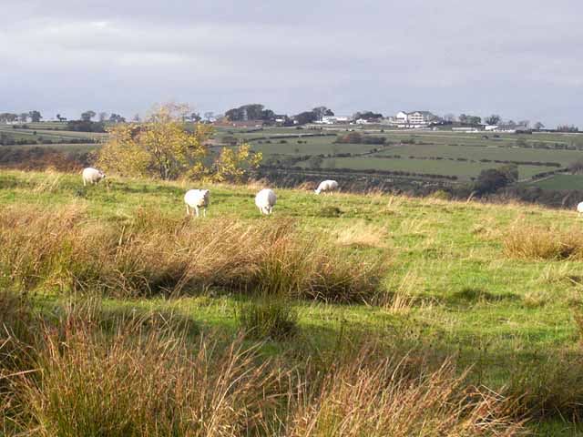
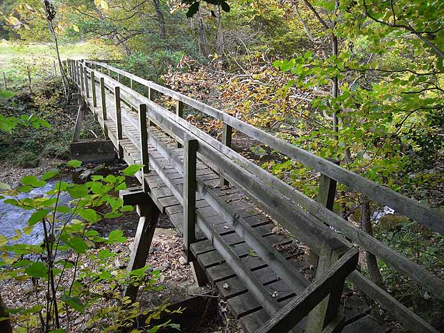
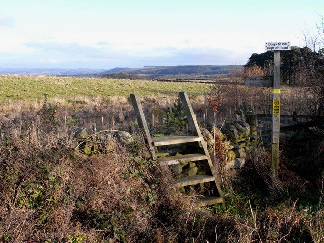
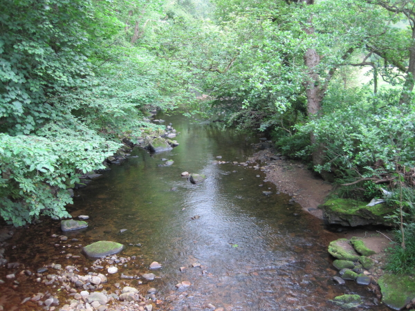
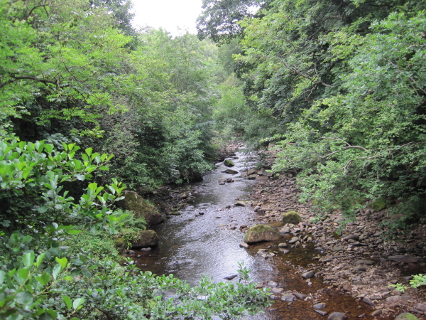
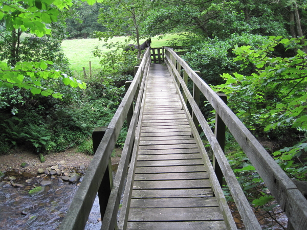
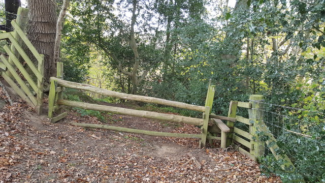
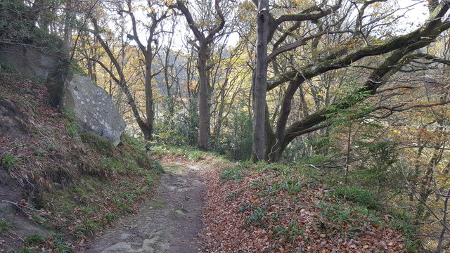
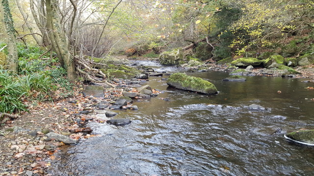
Tranquility and serenity are the defining characteristics of Butter Burn Wood. Visitors can enjoy peaceful walks along the well-maintained trails, which wind through the forest, offering breathtaking views of the surrounding countryside. The wood also features a small stream called Butter Burn, which adds to the idyllic atmosphere and offers a soothing soundtrack to nature lovers.

In addition to its natural beauty, Butter Burn Wood is a popular spot for outdoor activities. The forest provides ample opportunities for hiking, birdwatching, and photography. It is also a favored destination for families looking to have a picnic or engage in nature exploration with their children.

Managed by the Northumberland Wildlife Trust, Butter Burn Wood is a prime example of conservation efforts to protect and preserve natural habitats in the region. The trust ensures that the woodland remains a sanctuary for wildlife, while also offering a welcoming space for visitors to connect with nature and enjoy its wonders.

If you have any feedback on the listing, please let us know in the comments section below.

Butter Burn Wood Images

Images are sourced within 2km of 54.945763/-2.0939643 or Grid Reference NY9461. Thanks to Geograph Open Source API. All images are credited.

Giant Redwoods in Dukeshouse Wood A cluster of Giant Redwoods suggest that this area was originally an ornamental woodland.
Giant Redwoods in Dukeshouse Wood
A cluster of Giant Redwoods suggest that this area was originally an ornamental woodland.
Old pump Outside Lee Nook Farm.
Old pump
Outside Lee Nook Farm.
Heffers and steers Beside the path to Lee. Tynedale in the distance.
Heffers and steers
Beside the path to Lee. Tynedale in the distance.
The path to Lee
The path to Lee
Fields beside the path from Lee to Newbigin House Farm
Old Milestone by UC road, Ordley The Milestone is located on grass verge on the East side of the road.  Parish of Hexhamshire (Tynedale District). Metal post with attached metal plate, Smith Patterson iron shield design, erected by the Hexham turnpike trust in the 19th Century. Half of shield missing. An earlier photograph can be found here: <a title="https://www.geograph.org.uk/photo/6055942" href="https://www.geograph.org.uk/photo/6055942">Link</a> 

Inscription reads:-  
WHITLEY / CHAPEL / (2½) {arrow} / (HEXHAM) / (3) / ({arrow}) SMITH PATTERSON / BLAYDON /

Grade II listed. 
List Entry Number: 1045329 <span class="nowrap"><a title="https://historicengland.org.uk/listing/the-list/list-entry/1045329" rel="nofollow ugc noopener" href="https://historicengland.org.uk/listing/the-list/list-entry/1045329">Link</a><img style="margin-left:2px;" alt="External link" title="External link - shift click to open in new window" src="https://s1.geograph.org.uk/img/external.png" width="10" height="10"/></span> 

Milestone Society National ID: NB_HXWC03
Old Milestone by UC road, Ordley
The Milestone is located on grass verge on the East side of the road.  Parish of Hexhamshire (Tynedale District). Metal post with attached metal plate, Smith Patterson iron shield design, erected by the Hexham turnpike trust in the 19th Century. Half of shield missing. An earlier photograph can be found here: Link  Inscription reads:- WHITLEY / CHAPEL / (2½) {arrow} / (HEXHAM) / (3) / ({arrow}) SMITH PATTERSON / BLAYDON / Grade II listed. List Entry Number: 1045329 LinkExternal link Milestone Society National ID: NB_HXWC03
Farmland and footpath crossing Cockshaw Rigg
Footpath leading to Lee
Driveway to Nunsbrough House Hidden deep in the valley of the Devil's Water, this lovely driveway reminds me of a Samuel Palmer painting.
Driveway to Nunsbrough House
Hidden deep in the valley of the Devil's Water, this lovely driveway reminds me of a Samuel Palmer painting.
Cockshaw Rigg Rough pasture on the back road from Juniper to Dotland. Hexham Racecourse <a href="https://www.geograph.org.uk/gridref/NY9162">NY9162</a> on the skyline.
Cockshaw Rigg
Rough pasture on the back road from Juniper to Dotland. Hexham Racecourse NY9162 on the skyline.
Linnelswood Bridge A very substantial footbridge carrying the footpath from Ordley to Dipton Wood over the Devil's Water.
Linnelswood Bridge
A very substantial footbridge carrying the footpath from Ordley to Dipton Wood over the Devil's Water.
Cockshaw Rigg Ladder stile and footpath from Smelting Syke to Dotland Park. Tynedale can be seen in the distance.
Cockshaw Rigg
Ladder stile and footpath from Smelting Syke to Dotland Park. Tynedale can be seen in the distance.
Devil's Water from Linnelswood Bridge
Linnelswood Footbridge
Stile on Long Bank in Strothers wood
Footpath in Strothers wood
Devil's Water near Linnelswood Bridge
Show me another place!

Butter Burn Wood is located at Grid Ref: NY9461 (Lat: 54.945763, Lng: -2.0939643)

Unitary Authority: Northumberland

Police Authority: Northumbria

What 3 Words

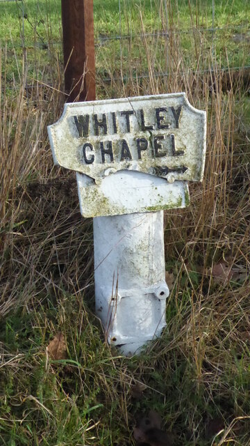
///streetcar.recruiter.approvals. Near Hexham, Northumberland

Related Wikis

Hexham General Hospital

Hexham General Hospital is an acute general hospital in Hexham, Northumberland, England. It is managed by the Northumbria Healthcare NHS Foundation Trust...

Rowley Burn (Northumberland)

Rowley Burn (also known as Rowley Brook and Ham Burn, NY 9358) is a stream in Northumberland, running around three miles south of Hexham before joining...

St Mary's Church, Hexham

St Mary's Church is a Roman Catholic Parish church in Hexham, Northumberland. It was built from 1828 to 1830 in the Gothic Revival style. It is located...

Battle of Hexham

The Battle of Hexham, 15 May 1464, marked the end of significant Lancastrian resistance in the north of England during the early part of the reign of Edward...

Hexhamshire Low Quarter

Hexhamshire Low Quarter is a former civil parish, now in the parish of Hexhamshire, in Northumberland, England. It was situated to the south of Hexham...

Dare Wilson Barracks

Dare Wilson Barracks, is a military installation in Hexham, Northumberland. The building is named after Major General Dare Wilson who was commissioned...

Juniper, Northumberland

Juniper is a hamlet in the English county of Northumberland. It is about 5 miles (8 km) due south of Hexham in the area known as Hexhamshire. There is...

Queen's Hall, Hexham

The Queen's Hall, formerly Hexham Town Hall, is a municipal structure in Beaumont Street, Hexham, Northumberland, England. The structure, which was the...

Have you been to Butter Burn Wood?

Leave your review of Butter Burn Wood below (or comments, questions and feedback).