Castle Hill

Hill, Mountain in Northumberland

England

Castle Hill

Giant Redwoods in Dukeshouse Wood A cluster of Giant Redwoods suggest that this area was originally an ornamental woodland.
Giant Redwoods in Dukeshouse Wood Credit: Oliver Dixon

Castle Hill is a prominent hill located in the county of Northumberland, England. It is situated near the village of Bamburgh, approximately 2 miles south of the North Sea coastline. Rising to an elevation of 103 meters (338 feet), Castle Hill is often referred to as a hill rather than a mountain due to its moderate height.

The hill is renowned for its historical significance, as it is home to the iconic Bamburgh Castle. This imposing castle stands proudly atop Castle Hill and offers stunning panoramic views of the surrounding landscape. Bamburgh Castle is one of the largest inhabited castles in the country and has a rich history dating back over 1,400 years. It was originally constructed as a fortress by the Anglo-Saxons and has since undergone several transformations, including additions by various medieval kings.

Castle Hill itself is a natural feature that adds to the charm and allure of Bamburgh Castle. The hill is composed of a mixture of sandstone and limestone, giving it a distinctive appearance. The surrounding area is characterized by rolling green fields, picturesque coastal scenery, and the nearby Farne Islands, which are renowned for their diverse wildlife.

Visitors to Castle Hill can explore the castle's interior, which houses a fascinating collection of historical artifacts and displays. The hill also provides ample opportunities for scenic walks and hikes, allowing visitors to immerse themselves in the beauty of Northumberland's countryside.

In conclusion, Castle Hill in Northumberland is a culturally and historically significant site that offers visitors a chance to explore a magnificent castle while enjoying breathtaking views of the surrounding landscape.

If you have any feedback on the listing, please let us know in the comments section below.
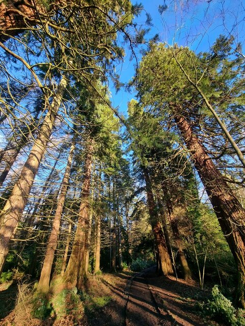
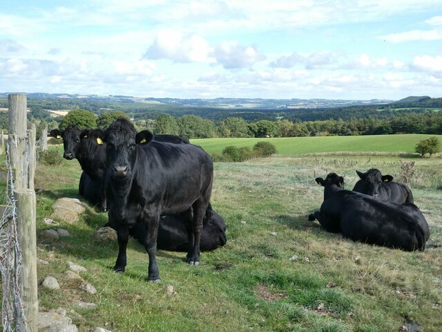
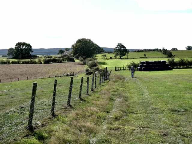
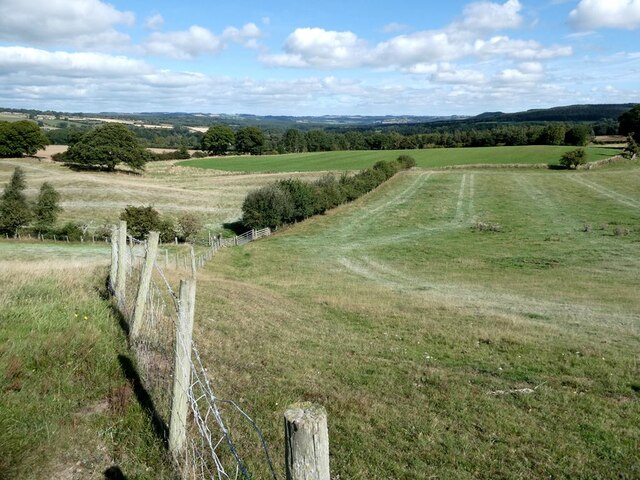
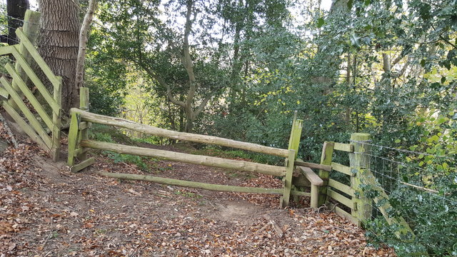
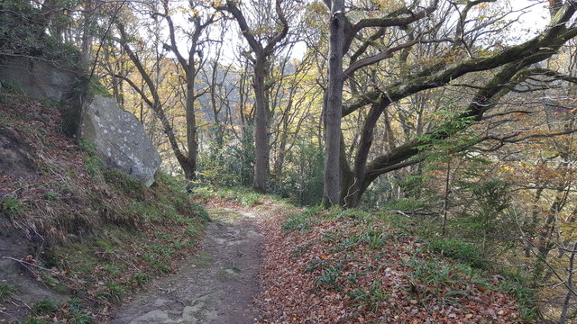
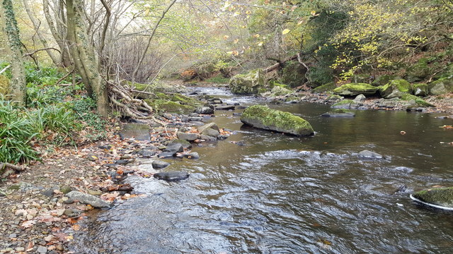
Castle Hill Images

Images are sourced within 2km of 54.94801/-2.092705 or Grid Reference NY9461. Thanks to Geograph Open Source API. All images are credited.

Giant Redwoods in Dukeshouse Wood A cluster of Giant Redwoods suggest that this area was originally an ornamental woodland.
Giant Redwoods in Dukeshouse Wood
A cluster of Giant Redwoods suggest that this area was originally an ornamental woodland.
Heffers and steers Beside the path to Lee. Tynedale in the distance.
Heffers and steers
Beside the path to Lee. Tynedale in the distance.
The path to Lee
The path to Lee
Fields beside the path from Lee to Newbigin House Farm
Old Milestone by UC road, Ordley The Milestone is located on grass verge on the East side of the road.  Parish of Hexhamshire (Tynedale District). Metal post with attached metal plate, Smith Patterson iron shield design, erected by the Hexham turnpike trust in the 19th Century. Half of shield missing. An earlier photograph can be found here: <a title="https://www.geograph.org.uk/photo/6055942" href="https://www.geograph.org.uk/photo/6055942">Link</a> 

Inscription reads:-  
WHITLEY / CHAPEL / (2½) {arrow} / (HEXHAM) / (3) / ({arrow}) SMITH PATTERSON / BLAYDON /

Grade II listed. 
List Entry Number: 1045329 <span class="nowrap"><a title="https://historicengland.org.uk/listing/the-list/list-entry/1045329" rel="nofollow ugc noopener" href="https://historicengland.org.uk/listing/the-list/list-entry/1045329">Link</a><img style="margin-left:2px;" alt="External link" title="External link - shift click to open in new window" src="https://s1.geograph.org.uk/img/external.png" width="10" height="10"/></span> 

Milestone Society National ID: NB_HXWC03
Old Milestone by UC road, Ordley
The Milestone is located on grass verge on the East side of the road.  Parish of Hexhamshire (Tynedale District). Metal post with attached metal plate, Smith Patterson iron shield design, erected by the Hexham turnpike trust in the 19th Century. Half of shield missing. An earlier photograph can be found here: Link  Inscription reads:- WHITLEY / CHAPEL / (2½) {arrow} / (HEXHAM) / (3) / ({arrow}) SMITH PATTERSON / BLAYDON / Grade II listed. List Entry Number: 1045329 LinkExternal link Milestone Society National ID: NB_HXWC03
Farmland and footpath crossing Cockshaw Rigg
Linnelswood Bridge A very substantial footbridge carrying the footpath from Ordley to Dipton Wood over the Devil's Water.
Linnelswood Bridge
A very substantial footbridge carrying the footpath from Ordley to Dipton Wood over the Devil's Water.
Linnelswood Footbridge
Stile on Long Bank in Strothers wood
Footpath in Strothers wood
Devil's Water near Linnelswood Bridge
Devil's Water and Linnelswood Bridge
Buttercup meadows in Hexhamshire
Kennels outing At least a dozen dogs from a nearby kennels have been turned loose in this field near Ordley to let them have a bit of fun and exercise.
Kennels outing
At least a dozen dogs from a nearby kennels have been turned loose in this field near Ordley to let them have a bit of fun and exercise.
Old Milepost north of Ordley, Hexhamshire parish Metal post with attached metal plate by the UC road, in parish of HEXHAMSHIRE (TYNEDALE District), Ordley, on grass verge, on East side of road. Smith Patterson iron shield, erected by the Hexham turnpike trust in the 19th century. 
Broken.

Inscription reads:-
WHITLEY
CHAPEL
(2½) {arrow->}
(HEXHAM)
(3)
({<-arrow})
Maker:-
(SMITH PATTERSON / BLAYDON)

Grade II listed.  
List Entry Number: 1045329 <span class="nowrap"><a title="https://historicengland.org.uk/listing/the-list/list-entry/1045329" rel="nofollow ugc noopener" href="https://historicengland.org.uk/listing/the-list/list-entry/1045329">Link</a><img style="margin-left:2px;" alt="External link" title="External link - shift click to open in new window" src="https://s1.geograph.org.uk/img/external.png" width="10" height="10"/></span>

Milestone Society National ID: NB_HXWC03.
Old Milepost north of Ordley, Hexhamshire parish
Metal post with attached metal plate by the UC road, in parish of HEXHAMSHIRE (TYNEDALE District), Ordley, on grass verge, on East side of road. Smith Patterson iron shield, erected by the Hexham turnpike trust in the 19th century. Broken. Inscription reads:- WHITLEY CHAPEL (2½) {arrow->} (HEXHAM) (3) ({<-arrow}) Maker:- (SMITH PATTERSON / BLAYDON) Grade II listed. List Entry Number: 1045329 LinkExternal link Milestone Society National ID: NB_HXWC03.
Cattle in  field near Lee Nook Farm The brown one is a bull!
Cattle in field near Lee Nook Farm
The brown one is a bull!
Relaxed bull A warning notice advised people to keep out, but the bull seemed extremely placid.
Relaxed bull
A warning notice advised people to keep out, but the bull seemed extremely placid.
Stone gatepost in field Stone gatepost with squared cut off top, no longer in use as field boundary has changed but left in-situ. Bench mark low down on one side and metal fixings for gate on one side.
Stone gatepost in field
Stone gatepost with squared cut off top, no longer in use as field boundary has changed but left in-situ. Bench mark low down on one side and metal fixings for gate on one side.
Show me another place!

Castle Hill is located at Grid Ref: NY9461 (Lat: 54.94801, Lng: -2.092705)

Unitary Authority: Northumberland

Police Authority: Northumbria

What 3 Words

///bags.views.binds. Near Hexham, Northumberland

Related Wikis

Hexham General Hospital

Hexham General Hospital is an acute general hospital in Hexham, Northumberland, England. It is managed by the Northumbria Healthcare NHS Foundation Trust...

Battle of Hexham

The Battle of Hexham, 15 May 1464, marked the end of significant Lancastrian resistance in the north of England during the early part of the reign of Edward...

St Mary's Church, Hexham

St Mary's Church is a Roman Catholic Parish church in Hexham, Northumberland. It was built from 1828 to 1830 in the Gothic Revival style. It is located...

Queen's Hall, Hexham

The Queen's Hall, formerly Hexham Town Hall, is a municipal structure in Beaumont Street, Hexham, Northumberland, England. The structure, which was the...

Related Videos

Hexham, Northumberland【4K】| Town Centre Walk 2021

Join me for a walk around the historic town centre of Hexham, on a snowy winter's afternoon! Complete with historic churches, ...

Discovering THIS Hidden Gem 💎 on HADRIAN’S WALL 🥾

In this video, I explore this hidden gem Heavenfield on HADRIAN'S WALL! The start of St Oswald's Way and The Way of Light ...

Hexham, Juniper, Dipton Woods & Dilston Circular Walk.

This is such a tranquil walk with some varied walking. We start in the Historic Market Town of Hexham before heading south with ...

Have you been to Castle Hill?

Leave your review of Castle Hill below (or comments, questions and feedback).