Pikes Coppice
Wood, Forest in Dorset
England
Pikes Coppice
Pikes Coppice is a beautiful woodland area located in the county of Dorset, England. Covering an area of approximately 50 acres, it is situated near the village of Pikes Farm and is surrounded by picturesque countryside.
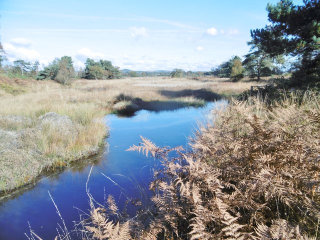
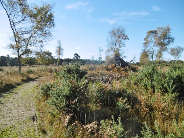
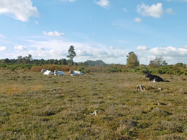
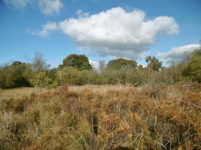
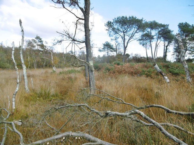
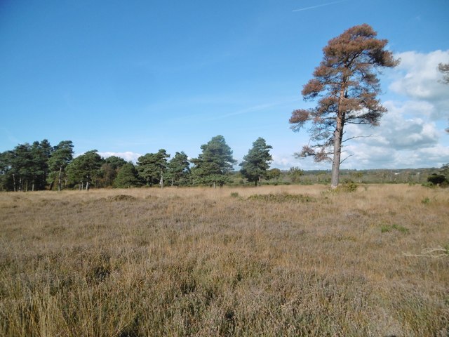
The coppice is characterized by its dense and diverse range of trees, including oak, beech, and ash. These trees create a lush canopy that provides shade and shelter for various wildlife species. The forest floor is covered in a rich carpet of mosses, ferns, and wildflowers, adding to the area's natural beauty.
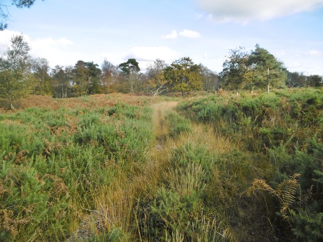
Pikes Coppice is a popular destination for nature lovers and outdoor enthusiasts. It offers a network of well-maintained walking trails, allowing visitors to explore the woodland at their own pace. These trails wind through the trees, providing glimpses of wildlife such as deer, squirrels, and a variety of bird species.
In addition to its natural wonders, Pikes Coppice also has a rich cultural history. It has been managed as a coppice woodland for centuries, with traditional methods of woodland management still practiced today. The area was once used for timber production, and remnants of old charcoal pits can still be found within the forest.
Overall, Pikes Coppice is a tranquil and enchanting woodland that offers a delightful escape from the hustle and bustle of everyday life. With its diverse flora and fauna, well-maintained trails, and historical significance, it is a must-visit destination for anyone seeking to reconnect with nature in Dorset.
If you have any feedback on the listing, please let us know in the comments section below.
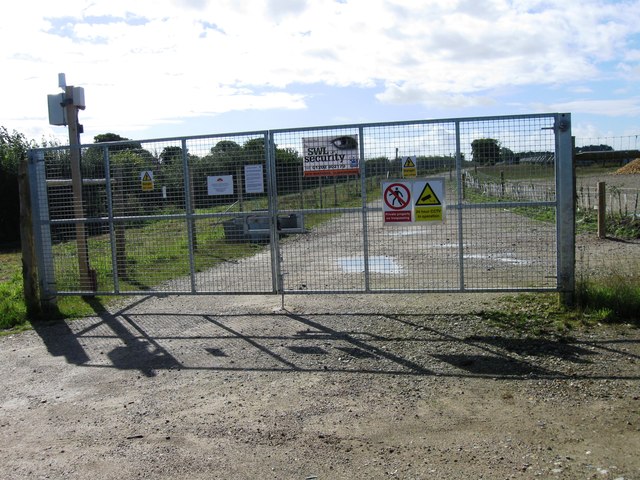
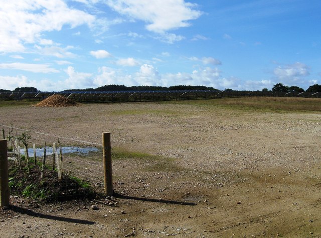
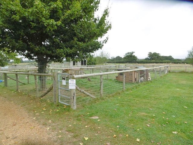
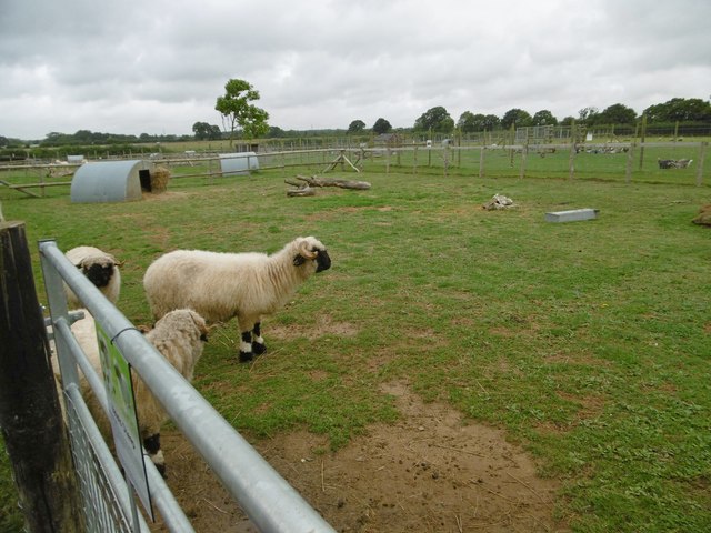
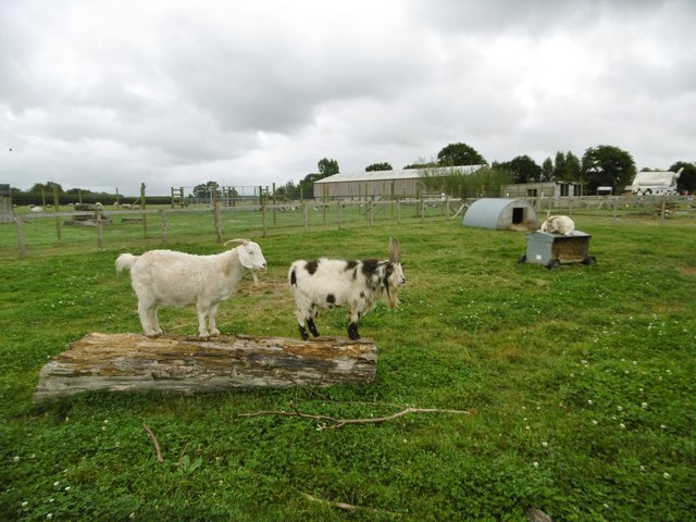
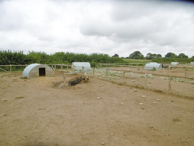
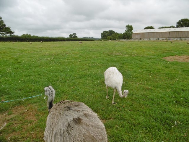
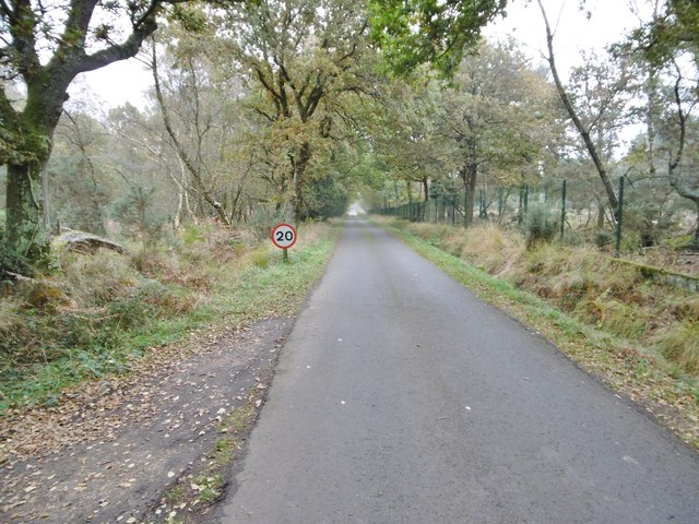
Pikes Coppice Images
Images are sourced within 2km of 50.730937/-2.0813628 or Grid Reference SY9492. Thanks to Geograph Open Source API. All images are credited.

Pikes Coppice is located at Grid Ref: SY9492 (Lat: 50.730937, Lng: -2.0813628)
Unitary Authority: Dorset
Police Authority: Dorset
What 3 Words
///divisions.dads.lofts. Near Lytchett Matravers, Dorset
Nearby Locations
Related Wikis

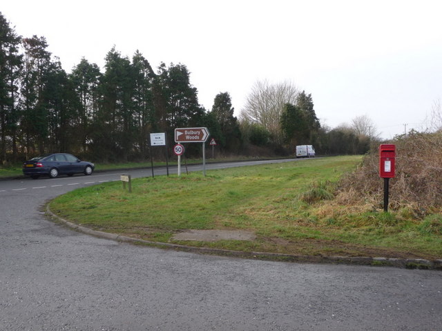
Organford
Organford is a hamlet in the county of Dorset, England. It is located just south of the A35 between Lytchett Minster and Slepe. == References ==

Holton Heath
Holton Heath is an area of the parish of Wareham St. Martin, Dorset, England. The area includes a trading estate, on the site of the former Royal Navy...

Royal Naval Cordite Factory, Holton Heath
The Royal Naval Cordite Factory, Holton Heath (RNCF) was set up at Holton Heath, Dorset, England, in World War I to manufacture cordite for the Royal Navy...
Slepe
Slepe is a hamlet in the county of Dorset, England. It is located on the A35 east of Organford. == References ==
Nearby Amenities
Located within 500m of 50.730937,-2.0813628Have you been to Pikes Coppice?
Leave your review of Pikes Coppice below (or comments, questions and feedback).