Birch Wood
Wood, Forest in Dorset
England
Birch Wood
Birch Wood is a picturesque forest located in the county of Dorset, United Kingdom. Nestled within the scenic landscape of the region, this woodland area covers a considerable expanse and is widely regarded for its natural beauty and ecological significance. The wood is named after the abundance of birch trees that dominate the area, creating a stunning and distinctive environment.
The forest is home to a diverse range of flora and fauna, making it a popular destination for nature enthusiasts and wildlife lovers. Visitors can expect to encounter a variety of plant species, including bluebells, wood anemones, and wild garlic, which fill the forest floor with vibrant colors during the spring season. The towering birch trees provide ample shade and shelter for numerous bird species, such as woodpeckers, owls, and various small songbirds.
Walking trails and paths meander through Birch Wood, offering visitors the opportunity to explore its natural wonders at their own pace. The tranquil atmosphere and serene surroundings make it an ideal spot for relaxation and contemplation. Additionally, the wood features several picnic areas, allowing visitors to enjoy a leisurely meal amidst the peaceful ambience.
Birch Wood is managed by local authorities and conservation organizations to preserve its natural integrity. Efforts are made to maintain a delicate balance between human activities and the preservation of the forest's ecosystem. Regular maintenance and conservation projects ensure the longevity of this beautiful woodland for future generations to enjoy.
Overall, Birch Wood in Dorset is a captivating and enchanting forest, providing a haven for nature enthusiasts and offering a serene retreat from the bustling city life.
If you have any feedback on the listing, please let us know in the comments section below.
Birch Wood Images
Images are sourced within 2km of 50.70475/-2.0812607 or Grid Reference SY9489. Thanks to Geograph Open Source API. All images are credited.


Birch Wood is located at Grid Ref: SY9489 (Lat: 50.70475, Lng: -2.0812607)
Unitary Authority: Dorset
Police Authority: Dorset
What 3 Words
///trips.chop.wiring. Near Wareham, Dorset
Nearby Locations
Related Wikis
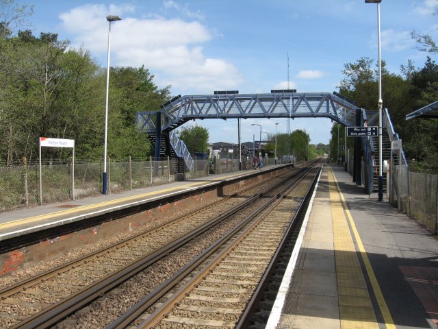
Holton Heath railway station
Holton Heath railway station serves the area of Holton Heath in Wareham St Martin, Dorset, England. It is 118 miles 61 chains (191.1 km) down the line...

Mid Dorset and North Poole (UK Parliament constituency)
Mid Dorset and North Poole is a constituency represented in the House of Commons of the UK Parliament since 2015 by Michael Tomlinson, a Conservative....

Sandford, Dorset
Sandford is a village in the English county of Dorset, on the A351 road some two miles from Wareham and seven miles from Poole. Sandford forms the only...

River Piddle
The River Piddle or Trent or North River is a small rural Dorset river which rises in the Dorset Downs and flows into Poole Harbour near Wareham. ��2...

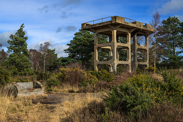
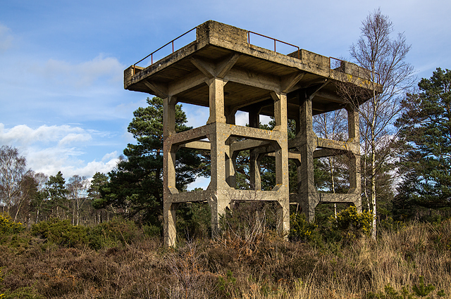
Royal Naval Cordite Factory, Holton Heath
The Royal Naval Cordite Factory, Holton Heath (RNCF) was set up at Holton Heath, Dorset, England, in World War I to manufacture cordite for the Royal Navy...

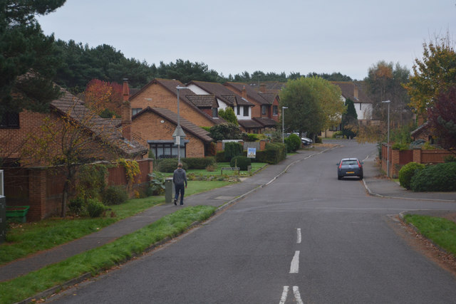
Holton Heath
Holton Heath is an area of the parish of Wareham St. Martin, Dorset, England. The area includes a trading estate, on the site of the former Royal Navy...

Gigger's Island
Gigger's Island is an island in Poole Harbour in the English county of Dorset. The island is situated near to the Frome and Piddle rivers, near to the...
Wareham St Martin
Wareham St Martin is a civil parish in the English county of Dorset. The parish spreads across a large, and mostly rural area to the north of the town...
Nearby Amenities
Located within 500m of 50.70475,-2.0812607Have you been to Birch Wood?
Leave your review of Birch Wood below (or comments, questions and feedback).