Calf Hole Plantation

Wood, Forest in Yorkshire Craven

England

Calf Hole Plantation

Pastureland hosting sheep and lambs Looking south-westward from Fleets Lane towards Sunhill Gill Plantation.
Pastureland hosting sheep and lambs Credit: Peter Wood

Calf Hole Plantation is a woodland area located in Yorkshire, England. Situated in the beautiful and picturesque countryside, this plantation is a popular destination for nature enthusiasts, hikers, and those seeking tranquility amidst stunning natural surroundings.

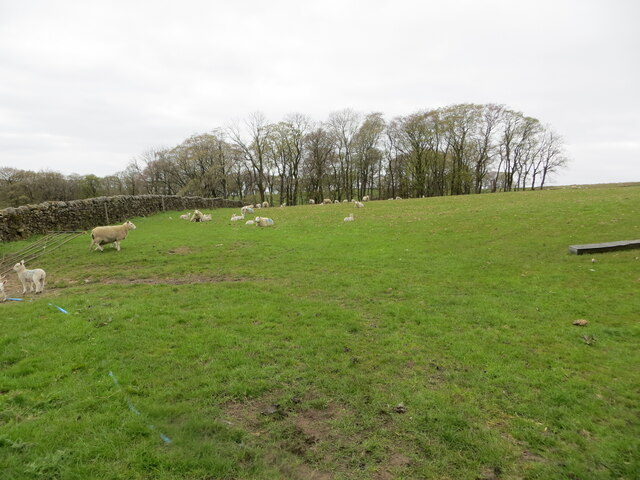
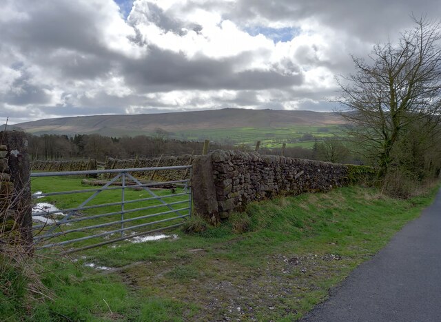
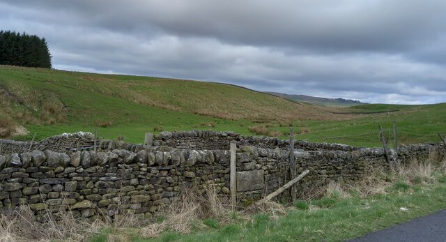
Covering a vast area of approximately 200 acres, Calf Hole Plantation is characterized by its dense forest and diverse range of flora and fauna. The woodland is predominantly composed of deciduous trees such as oak, birch, and beech, which create a rich tapestry of colors throughout the seasons. This vibrant ecosystem supports a wide variety of wildlife, including deer, squirrels, badgers, and numerous bird species.

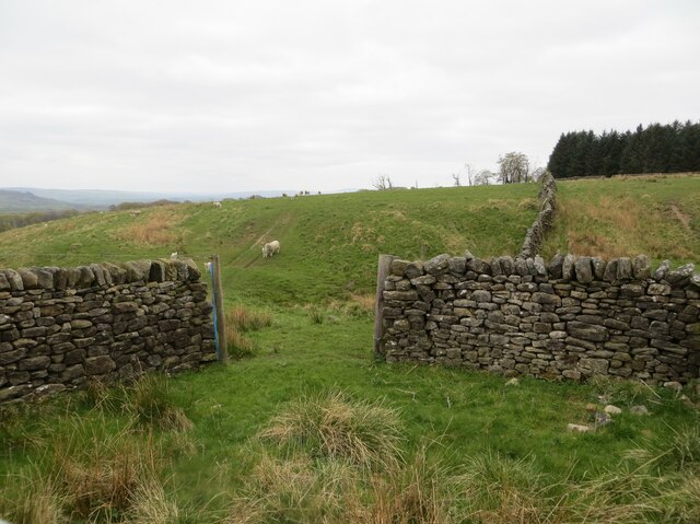
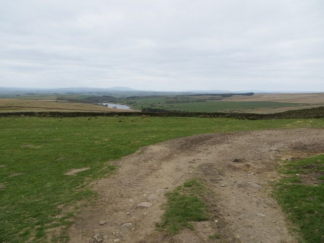
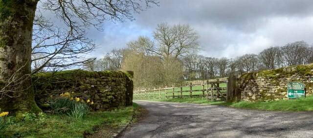
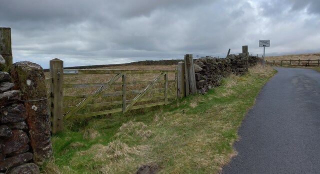
The plantation offers a network of well-maintained trails and footpaths that wind through the woods, providing an opportunity for visitors to explore at their own pace. These paths are suitable for all levels of walkers, from casual strollers to avid hikers. Along the way, one can enjoy the peaceful ambiance, catch glimpses of wildlife, and breathe in the fresh, crisp air.

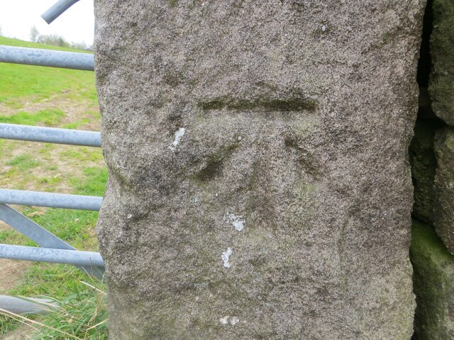
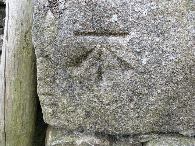
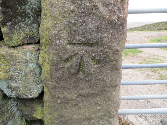
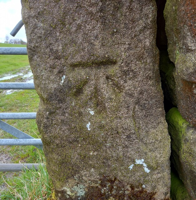
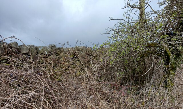
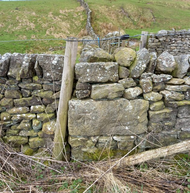
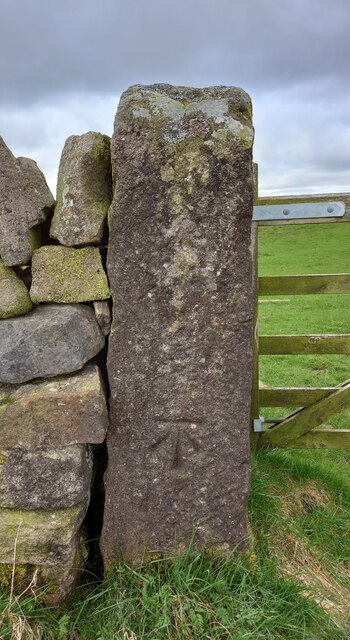
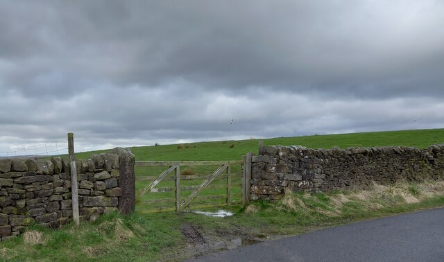
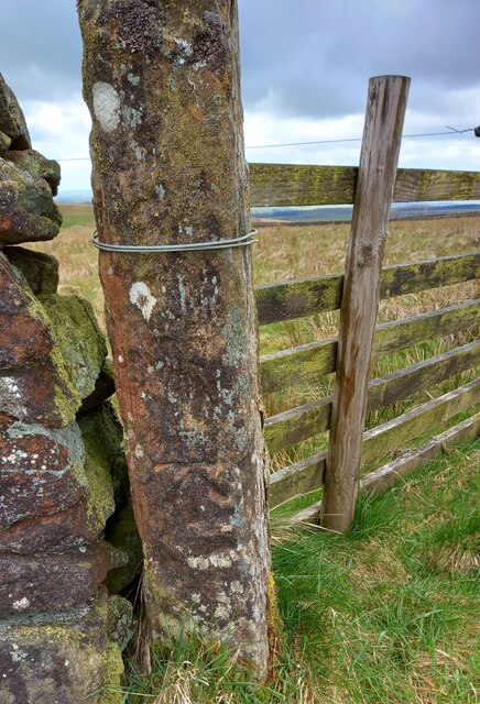
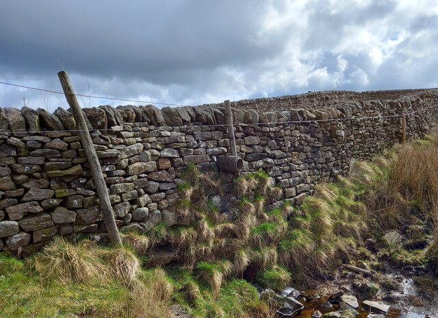
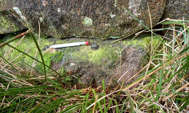
Calf Hole Plantation is also known for its historical significance, with remnants of old boundary walls and stone structures scattered throughout the woodland. These remnants serve as a reminder of the area's past and add an intriguing element to the overall experience.

Overall, Calf Hole Plantation is a haven for nature lovers, offering a serene and picturesque escape from the hustle and bustle of everyday life. With its diverse flora and fauna, well-maintained trails, and enchanting ambiance, it is a must-visit destination for anyone seeking to immerse themselves in the beauty of nature in Yorkshire.

If you have any feedback on the listing, please let us know in the comments section below.

Calf Hole Plantation Images

Images are sourced within 2km of 54.039446/-2.0876273 or Grid Reference SD9460. Thanks to Geograph Open Source API. All images are credited.

Pastureland hosting sheep and lambs Looking south-westward from Fleets Lane towards Sunhill Gill Plantation.
Pastureland hosting sheep and lambs
Looking south-westward from Fleets Lane towards Sunhill Gill Plantation.
Sheepfold with access to and from upland pasture Looking south-westward from Boss Moor Lane.
Sheepfold with access to and from upland pasture
Looking south-westward from Boss Moor Lane.
Wall enclosed upland pasture Looking south-westward from Boss Moor Lane. Winterburn Reservoir is visible in the far distance.
Wall enclosed upland pasture
Looking south-westward from Boss Moor Lane. Winterburn Reservoir is visible in the far distance.
Ordnance Survey Cut Mark This mark can be found on a gatepost near Sunhill beside Fleets/Boss Moor Lane.
The recorded details give a height of 252.6396 metres above sea level.
For more detail see : <span class="nowrap"><a title="https://www.bench-marks.org.uk/bm42978" rel="nofollow ugc noopener" href="https://www.bench-marks.org.uk/bm42978">Link</a><img style="margin-left:2px;" alt="External link" title="External link - shift click to open in new window" src="https://s1.geograph.org.uk/img/external.png" width="10" height="10"/></span>
Ordnance Survey Cut Mark
This mark can be found on a gatepost near Sunhill beside Fleets/Boss Moor Lane. The recorded details give a height of 252.6396 metres above sea level. For more detail see : LinkExternal link
Ordnance Survey Cut Mark This mark can be found on the wall of a sheepfold beside Boss Moor Lane.
The recorded details give a height of 281.5042 metres above sea level.
For more detail see : <span class="nowrap"><a title="https://www.bench-marks.org.uk/bm42977" rel="nofollow ugc noopener" href="https://www.bench-marks.org.uk/bm42977">Link</a><img style="margin-left:2px;" alt="External link" title="External link - shift click to open in new window" src="https://s1.geograph.org.uk/img/external.png" width="10" height="10"/></span>
Ordnance Survey Cut Mark
This mark can be found on the wall of a sheepfold beside Boss Moor Lane. The recorded details give a height of 281.5042 metres above sea level. For more detail see : LinkExternal link
Ordnance Survey Cut Mark This mark can be found on a gatepost at Boss Moor,
The recorded details give a height of 317.9308 metres above sea level.
For more detail see : <span class="nowrap"><a title="https://www.bench-marks.org.uk/bm42973" rel="nofollow ugc noopener" href="https://www.bench-marks.org.uk/bm42973">Link</a><img style="margin-left:2px;" alt="External link" title="External link - shift click to open in new window" src="https://s1.geograph.org.uk/img/external.png" width="10" height="10"/></span>
Ordnance Survey Cut Mark
This mark can be found on a gatepost at Boss Moor, The recorded details give a height of 317.9308 metres above sea level. For more detail see : LinkExternal link
Sunhill Centre, Fleets Lane According to the OS benchmark database there is a benchmark cut into a gatepost at the drive entrance. Nothing was found.
Sunhill Centre, Fleets Lane
According to the OS benchmark database there is a benchmark cut into a gatepost at the drive entrance. Nothing was found.
Fleets, Boss Moor Lane The benchmark is cut into a right hand gatepost at a field entrance on the east side of the lane.
Fleets, Boss Moor Lane
The benchmark is cut into a right hand gatepost at a field entrance on the east side of the lane.
Fleets, Boss Moor Lane There is a benchmark cut into the right hand gatepost at the field entrance on the east side of the lane.
Fleets, Boss Moor Lane
There is a benchmark cut into the right hand gatepost at the field entrance on the east side of the lane.
Fleets, Boss Moor Lane According to the OS benchmark database there is a benchmark cut into the roadside wall at this location on the west side of the lane. No search was made due to the thick brambles guarding the wall.
Fleets, Boss Moor Lane
According to the OS benchmark database there is a benchmark cut into the roadside wall at this location on the west side of the lane. No search was made due to the thick brambles guarding the wall.
Fleets, Boss Moor Lane The benchmark is cut into the roadside wall on the west side of the lane at a wall junction.
Fleets, Boss Moor Lane
The benchmark is cut into the roadside wall on the west side of the lane at a wall junction.
Fleets, Boss Moor Lane There is a benchmark cut into the roadside wall on the west side of the lane at a wall junction.
Fleets, Boss Moor Lane
There is a benchmark cut into the roadside wall on the west side of the lane at a wall junction.
Fleets, Boss Moor Lane The benchmark is cut into a left hand gatepost on the west side of the lane.
Fleets, Boss Moor Lane
The benchmark is cut into a left hand gatepost on the west side of the lane.
Fleets, Boss Moor Lane There is a benchmark cut into the left hand gatepost on the west side of the lane.
Fleets, Boss Moor Lane
There is a benchmark cut into the left hand gatepost on the west side of the lane.
Fleets, Boss Moor Lane The benchmark is cut into a left hand gatepost at a field entrance on the west side of the lane.
Fleets, Boss Moor Lane
The benchmark is cut into a left hand gatepost at a field entrance on the west side of the lane.
Fleets, Boss Moor Lane There is a benchmark cut into the left hand gatepost at the field entrance on the west side of the lane.
Fleets, Boss Moor Lane
There is a benchmark cut into the left hand gatepost at the field entrance on the west side of the lane.
Fleets, Boss Moor Lane According to the OS benchmark database there is a benchmark cut into the south-west facing wall to the north of the beck at this location. Nothing was found.
Fleets, Boss Moor Lane
According to the OS benchmark database there is a benchmark cut into the south-west facing wall to the north of the beck at this location. Nothing was found.
Fleets, Boss Moor Lane The rivet benchmark is cut into a stone in the drystone wall on the west side of the lane.
Fleets, Boss Moor Lane
The rivet benchmark is cut into a stone in the drystone wall on the west side of the lane.
Show me another place!

Calf Hole Plantation is located at Grid Ref: SD9460 (Lat: 54.039446, Lng: -2.0876273)

Division: West Riding

Administrative County: North Yorkshire

District: Craven

Police Authority: North Yorkshire

What 3 Words

///acclaimed.slugs.joked. Near Gargrave, North Yorkshire

Related Wikis

Winterburn Reservoir

Winterburn Reservoir is located near the village of Winterburn in Malhamdale, North Yorkshire, England. It was constructed between 1885 and 1893 by Leeds...

Winterburn

Winterburn is a village in the Craven district of North Yorkshire, England. It is about 5 miles (8 km) south west of Grassington. Winterburn Reservoir...

Rylstone railway station

Rylstone railway station was a railway station that served the small village of Rylstone in North Yorkshire, England. It was built by the Yorkshire Dales...

Hetton, North Yorkshire

Hetton is a small Dales village in the civil parish of Hetton-cum-Bordley, in the North Yorkshire district of North Yorkshire, England, situated 5.75 miles...

Rylstone

Rylstone is a village and civil parish in the Craven district of North Yorkshire, England. It is situated very near to Cracoe and about 6 miles south west...

St Peter's Church, Rylstone

St Peter's Church is in the village of Rylstone, North Yorkshire, England. It is an active Anglican parish church in the deanery of Skipton, the archdeaconry...

Cracoe

Cracoe is a small village and civil parish in the Craven district of North Yorkshire, England. It is situated near to Rylstone and about 6 miles south...

Calton, North Yorkshire

Calton is a village and civil parish in the Craven district of North Yorkshire, England, on the River Aire in Airedale. In both the 2001 and 2011 Censuses...

Nearby Amenities

Located within 500m of 54.039446,-2.0876273
Barrier: cattle_grid
Source: GPS survey
Lat/Long: 54.0355537/-2.0882457
Barrier: stile
Material: stone
Source: survey;gps
Stile: stepover
Lat/Long: 54.0376028/-2.0940335
Barrier: stile
Material: wood
Source: survey;gps
Stile: stepover
Lat/Long: 54.0407312/-2.0898867
Barrier: cattle_grid
Bicycle: yes
Foot: yes
Lat/Long: 54.0414393/-2.0893589
Barrier: stile
Material: stone
Source: survey;gps
Stile: stepover
Lat/Long: 54.0427982/-2.0868878
Hiking: yes
Information: guidepost
Source: GPS survey
Tourism: information
Lat/Long: 54.0383234/-2.0944029
Barrier: cattle_grid
Source: GPS survey
Lat/Long: 54.0383131/-2.0944455
Hiking: yes
Information: guidepost
Source: GPS survey
Tourism: information
Lat/Long: 54.0363651/-2.0877349
Barrier: cattle_grid
Source: GPS survey
Lat/Long: 54.0366879/-2.0877102
Barrier: cattle_grid
Source: GPS survey
Lat/Long: 54.0369258/-2.0883179
Hiking: yes
Information: guidepost
Source: GPS survey
Tourism: information
Lat/Long: 54.0407409/-2.0898774
Hiking: yes
Information: guidepost
Source: GPS survey
Tourism: information
Lat/Long: 54.0399721/-2.0939483
Barrier: cattle_grid
Source: GPS survey
Lat/Long: 54.0393317/-2.0944857
Hiking: yes
Information: guidepost
Source: GPS survey
Tourism: information
Lat/Long: 54.039331/-2.094468
Power: pole
Lat/Long: 54.0396098/-2.0911306
Power: pole
Lat/Long: 54.0390207/-2.0906103
Power: pole
Lat/Long: 54.0376093/-2.0899215
Power: pole
Source: GPS Survey
Lat/Long: 54.0370046/-2.0887327
Power: pole
Source: GPS Survey
Lat/Long: 54.0362942/-2.0880944
lime kiln
Archaeological Site: lime_kiln
Historic: archaeological_site
Mineral: limestone
Output: lime
Source: OS sheet 150,publ 1853
Lat/Long: 54.0352196/-2.0866561
Barrier: cattle_grid
Lat/Long: 54.0373211/-2.092407
Hiking: yes
Information: guidepost
Source: GPS survey
Tourism: information
Lat/Long: 54.042813/-2.0868961
Bench
Backrest: no
Material: wood
Source: GPS survey
Lat/Long: 54.0433614/-2.0838699
The data included in this document is from www.openstreetmap.org. The data is made available under ODbL.

Have you been to Calf Hole Plantation?

Leave your review of Calf Hole Plantation below (or comments, questions and feedback).