Way Gill Wood

Wood, Forest in Yorkshire Craven

England

Way Gill Wood

Hetton Moor, Moor Lane The benchmark is cut into a gatepost at a wall junction on the lane.
Hetton Moor, Moor Lane Credit: Mel Towler

Way Gill Wood is a picturesque woodland located in the county of Yorkshire, England. Situated near the village of Way Gill, this forested area covers approximately 100 acres of land. The wood is predominantly composed of deciduous trees, with a variety of species such as oak, beech, ash, and birch. The lush greenery provides a tranquil and serene environment for visitors to immerse themselves in nature.

The woodland is intersected by glistening streams and small waterfalls that add to its natural beauty. These water features create a soothing atmosphere and provide a habitat for various aquatic plants and animals. Additionally, the streams offer an opportunity for visitors to engage in activities such as fishing or simply to enjoy the calming sound of running water.

Way Gill Wood is home to a diverse range of wildlife, including numerous bird species, squirrels, and rabbits. The woodland also attracts occasional visits from larger mammals such as deer and foxes. This makes it a popular destination for nature enthusiasts and photographers, who can capture stunning images of the local flora and fauna.

There are several walking trails that wind through the wood, allowing visitors to explore its hidden treasures. These paths cater to different levels of fitness and provide access to viewpoints with breathtaking vistas of the surrounding countryside. Whether one seeks a leisurely stroll or a more challenging hike, Way Gill Wood offers something for everyone.

Overall, Way Gill Wood is a haven of natural beauty and tranquility, offering visitors a chance to escape the hustle and bustle of everyday life and immerse themselves in the wonders of nature.

If you have any feedback on the listing, please let us know in the comments section below.

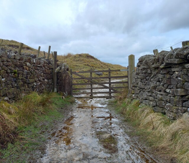
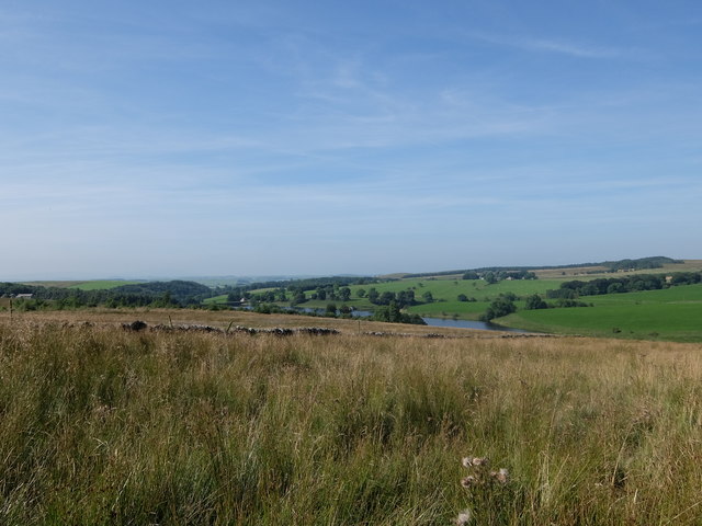
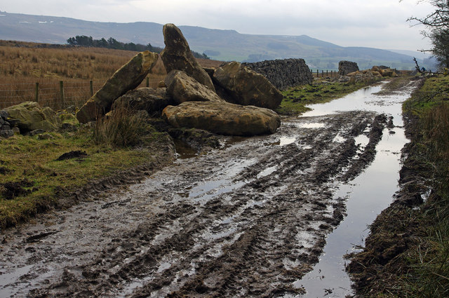
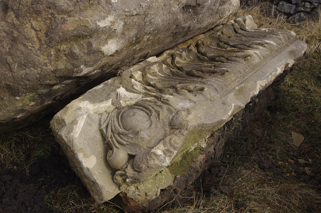
Way Gill Wood Images

Images are sourced within 2km of 54.0369/-2.0914085 or Grid Reference SD9460. Thanks to Geograph Open Source API. All images are credited.

Hetton Moor, Moor Lane The benchmark is cut into a gatepost at a wall junction on the lane.
Hetton Moor, Moor Lane
The benchmark is cut into a gatepost at a wall junction on the lane.
Hetton Moor, Moor Lane There is a benchmark cut into a gatepost at the wall junction on the lane.
Hetton Moor, Moor Lane
There is a benchmark cut into a gatepost at the wall junction on the lane.
Hetton Moor, Moor Lane The benchmark is cut into a gatepost at a wall and footpath junction on the lane.
Hetton Moor, Moor Lane
The benchmark is cut into a gatepost at a wall and footpath junction on the lane.
Hetton Moor, Moor Lane There is a benchmark cut into a gatepost at the wall and footpath junction on the lane.
Hetton Moor, Moor Lane
There is a benchmark cut into a gatepost at the wall and footpath junction on the lane.
Gate at the end of Moor Lane Ramblers pause at a junction of footpaths above Winterburn reservoir.
Gate at the end of Moor Lane
Ramblers pause at a junction of footpaths above Winterburn reservoir.
Winterburn Reservoir from Moor Lane
Winterburn Reservoir
Hetton Common Beck
Hetton Common Beck
Path alongside Winterburn Reservoir
Moor Lane Some large stone blocks have been deposited beside the track, apparently to rebuild the dry stone walls.
Moor Lane
Some large stone blocks have been deposited beside the track, apparently to rebuild the dry stone walls.
Recycled stone, Moor Lane One of the stone blocks deposited beside the track, is clearly pre-loved.
Recycled stone, Moor Lane
One of the stone blocks deposited beside the track, is clearly pre-loved.
Remains of Carlisle Laithe
Bridleway in Alans Plantation
Bridge over Hetton Common Beck
Bridleway on Hetton Common
Winterburn Reservoir A westward view over the Winterburn Reservoir, constructed to maintain water levels along the Leeds and Liverpool Canal
Winterburn Reservoir
A westward view over the Winterburn Reservoir, constructed to maintain water levels along the Leeds and Liverpool Canal
Bridleway above Winterburn Reservoir The bridleway crosses wet moorland towards Alans Plantation
Bridleway above Winterburn Reservoir
The bridleway crosses wet moorland towards Alans Plantation
Bridleway heading down to Hetton Common Beck The trouble with posting massive amounts of photographs on this site, is the sin of duplication. I have taken one from almost the same spot roughly 14 years ago.
<a href="https://www.geograph.org.uk/photo/286021">SD9460 : Moor Lane</a>
Bridleway heading down to Hetton Common Beck
The trouble with posting massive amounts of photographs on this site, is the sin of duplication. I have taken one from almost the same spot roughly 14 years ago. SD9460 : Moor Lane
Show me another place!

Way Gill Wood is located at Grid Ref: SD9460 (Lat: 54.0369, Lng: -2.0914085)

Division: West Riding

Administrative County: North Yorkshire

District: Craven

Police Authority: North Yorkshire

What 3 Words

///dividing.owls.midwinter. Near Gargrave, North Yorkshire

Related Wikis

Winterburn Reservoir

Winterburn Reservoir is located near the village of Winterburn in Malhamdale, North Yorkshire, England. It was constructed between 1885 and 1893 by Leeds...

Winterburn

Winterburn is a village in the Craven district of North Yorkshire, England. It is about 5 miles (8 km) south west of Grassington. Winterburn Reservoir...

Rylstone railway station

Rylstone railway station was a railway station that served the small village of Rylstone in North Yorkshire, England. It was built by the Yorkshire Dales...

Hetton, North Yorkshire

Hetton is a small Dales village in the civil parish of Hetton-cum-Bordley, in the North Yorkshire district of North Yorkshire, England, situated 5.75 miles...

Rylstone

Rylstone is a village and civil parish in the Craven district of North Yorkshire, England. It is situated very near to Cracoe and about 6 miles south west...

St Peter's Church, Rylstone

St Peter's Church is in the village of Rylstone, North Yorkshire, England. It is an active Anglican parish church in the deanery of Skipton, the archdeaconry...

Calton, North Yorkshire

Calton is a village and civil parish in the Craven district of North Yorkshire, England, on the River Aire in Airedale. In both the 2001 and 2011 Censuses...

Flasby

Flasby is a hamlet in the Yorkshire Dales in North Yorkshire, England. It is one of the two settlements, with Winterburn, in the civil parish of Flasby...

Nearby Amenities

Located within 500m of 54.0369,-2.0914085
Barrier: cattle_grid
Source: GPS survey
Lat/Long: 54.0355537/-2.0882457
Barrier: cattle_grid
Bicycle: yes
Foot: yes
Lat/Long: 54.0373089/-2.0989392
Barrier: stile
Material: stone
Source: survey;gps
Stile: stepover
Lat/Long: 54.0376028/-2.0940335
Barrier: stile
Material: wood
Source: survey;gps
Stile: stepover
Lat/Long: 54.0407312/-2.0898867
Hiking: yes
Information: guidepost
Source: GPS survey
Tourism: information
Lat/Long: 54.0383234/-2.0944029
Barrier: cattle_grid
Source: GPS survey
Lat/Long: 54.0383131/-2.0944455
Hiking: yes
Information: guidepost
Source: GPS survey
Tourism: information
Lat/Long: 54.0388112/-2.0967364
Hiking: yes
Information: guidepost
Source: GPS survey
Tourism: information
Lat/Long: 54.0363651/-2.0877349
Barrier: cattle_grid
Source: GPS survey
Lat/Long: 54.0366879/-2.0877102
Barrier: cattle_grid
Source: GPS survey
Lat/Long: 54.0369258/-2.0883179
Hiking: yes
Information: guidepost
Source: GPS survey
Tourism: information
Lat/Long: 54.0407409/-2.0898774
Hiking: yes
Information: guidepost
Source: GPS survey
Tourism: information
Lat/Long: 54.0399721/-2.0939483
Barrier: cattle_grid
Source: GPS survey
Lat/Long: 54.0393317/-2.0944857
Hiking: yes
Information: guidepost
Source: GPS survey
Tourism: information
Lat/Long: 54.039331/-2.094468
Power: pole
Lat/Long: 54.0396098/-2.0911306
Power: pole
Lat/Long: 54.0390207/-2.0906103
Power: pole
Lat/Long: 54.0376093/-2.0899215
Power: pole
Source: GPS Survey
Lat/Long: 54.0370046/-2.0887327
Power: pole
Source: GPS Survey
Lat/Long: 54.0362942/-2.0880944
lime kiln
Archaeological Site: lime_kiln
Historic: archaeological_site
Mineral: limestone
Output: lime
Source: OS sheet 150,publ 1853
Lat/Long: 54.0352196/-2.0866561
Power: pole
Lat/Long: 54.0372566/-2.0985013
Power: pole
Lat/Long: 54.0377575/-2.0979166
Power: pole
Lat/Long: 54.0382773/-2.0972675
Power: pole
Lat/Long: 54.0387912/-2.0965413
Barrier: cattle_grid
Lat/Long: 54.0373211/-2.092407
The data included in this document is from www.openstreetmap.org. The data is made available under ODbL.

Have you been to Way Gill Wood?

Leave your review of Way Gill Wood below (or comments, questions and feedback).