Winterburn Reservoir

Lake, Pool, Pond, Freshwater Marsh in Yorkshire Craven

England

Winterburn Reservoir

Pastureland hosting sheep and lambs Looking south-westward from Fleets Lane towards Sunhill Gill Plantation.
Pastureland hosting sheep and lambs Credit: Peter Wood

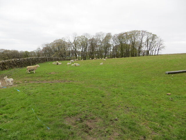
Winterburn Reservoir is a picturesque freshwater lake located in the beautiful county of Yorkshire, England. Situated in the heart of the Yorkshire Dales National Park, it spans an area of approximately 15 acres and is a popular destination for both locals and tourists alike.

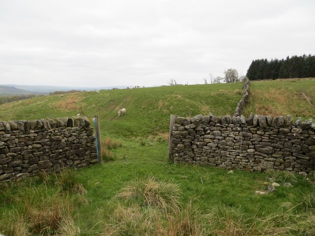
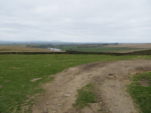
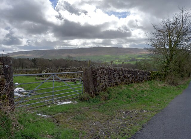
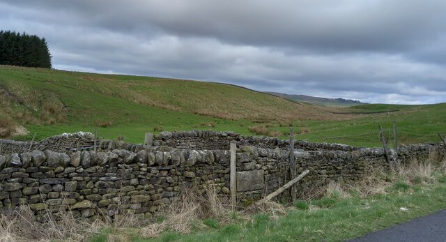
This reservoir is surrounded by lush greenery and rolling hills, offering visitors a tranquil and scenic setting. The crystal-clear waters of Winterburn Reservoir are fed by various natural springs and streams, ensuring a constant supply of fresh water. The depth of the lake varies, with some parts reaching up to 30 feet.

The reservoir serves multiple purposes, including providing a source of drinking water for nearby communities, as well as supporting local wildlife and vegetation. It is home to a diverse range of aquatic species, such as trout, perch, and pike, making it a haven for fishing enthusiasts.

In addition to its natural beauty, Winterburn Reservoir offers a range of recreational activities. Anglers can enjoy a peaceful day of fishing, while birdwatchers can spot a variety of waterfowl and other bird species that frequent the area. The lake is also a popular spot for boating and sailing, with several boat rental services available nearby.

Visitors to Winterburn Reservoir can take advantage of the surrounding picnic areas and walking trails, which provide opportunities for leisurely strolls and breathtaking views of the countryside. The reservoir is easily accessible by car and has ample parking facilities.

Overall, Winterburn Reservoir is a stunning freshwater lake that offers a peaceful escape from the hustle and bustle of daily life, providing visitors with a chance to immerse themselves in the natural beauty of Yorkshire.

If you have any feedback on the listing, please let us know in the comments section below.

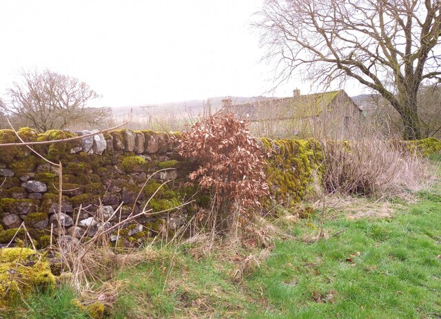
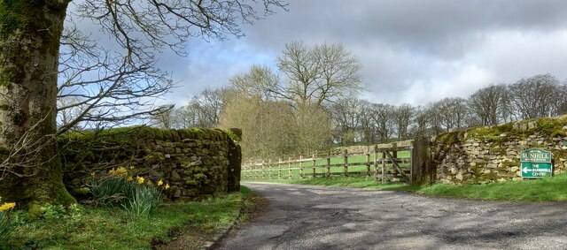
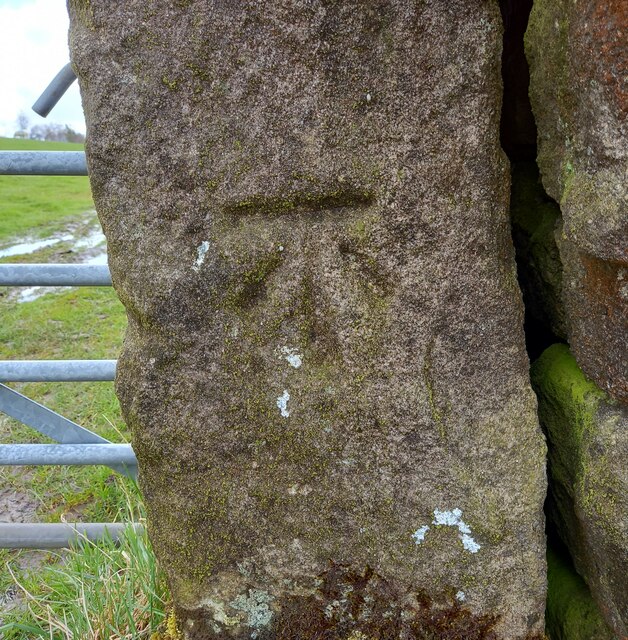
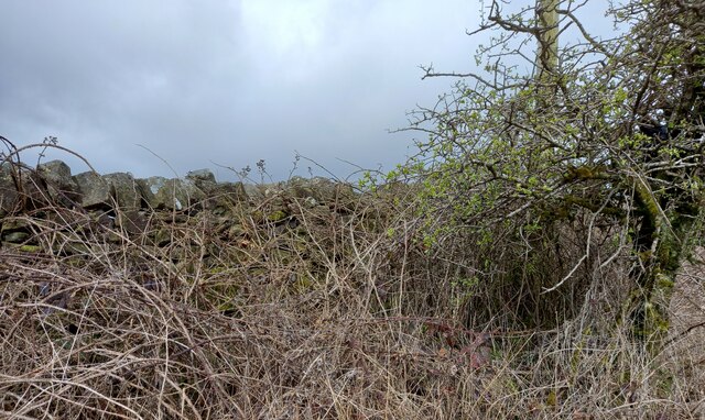
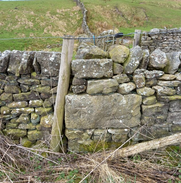
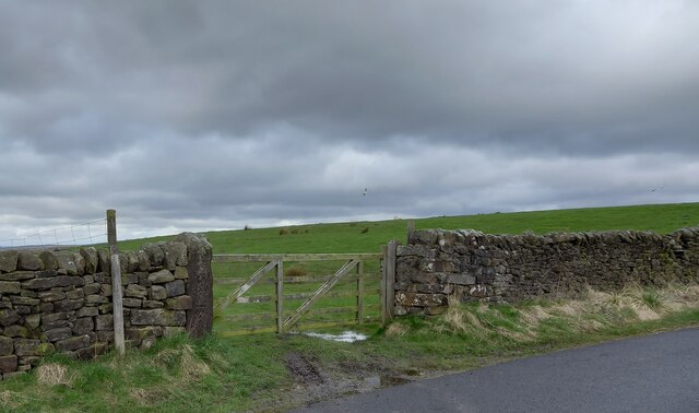
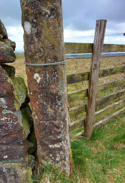
Winterburn Reservoir Images

Images are sourced within 2km of 54.039196/-2.0851683 or Grid Reference SD9460. Thanks to Geograph Open Source API. All images are credited.

Pastureland hosting sheep and lambs Looking south-westward from Fleets Lane towards Sunhill Gill Plantation.
Pastureland hosting sheep and lambs
Looking south-westward from Fleets Lane towards Sunhill Gill Plantation.
Sheepfold with access to and from upland pasture Looking south-westward from Boss Moor Lane.
Sheepfold with access to and from upland pasture
Looking south-westward from Boss Moor Lane.
Wall enclosed upland pasture Looking south-westward from Boss Moor Lane. Winterburn Reservoir is visible in the far distance.
Wall enclosed upland pasture
Looking south-westward from Boss Moor Lane. Winterburn Reservoir is visible in the far distance.
Ordnance Survey Cut Mark This mark can be found on a gatepost near Sunhill beside Fleets/Boss Moor Lane.
The recorded details give a height of 252.6396 metres above sea level.
For more detail see : <span class="nowrap"><a title="https://www.bench-marks.org.uk/bm42978" rel="nofollow ugc noopener" href="https://www.bench-marks.org.uk/bm42978">Link</a><img style="margin-left:2px;" alt="External link" title="External link - shift click to open in new window" src="https://s1.geograph.org.uk/img/external.png" width="10" height="10"/></span>
Ordnance Survey Cut Mark
This mark can be found on a gatepost near Sunhill beside Fleets/Boss Moor Lane. The recorded details give a height of 252.6396 metres above sea level. For more detail see : LinkExternal link
Ordnance Survey Cut Mark This mark can be found on the wall of a sheepfold beside Boss Moor Lane.
The recorded details give a height of 281.5042 metres above sea level.
For more detail see : <span class="nowrap"><a title="https://www.bench-marks.org.uk/bm42977" rel="nofollow ugc noopener" href="https://www.bench-marks.org.uk/bm42977">Link</a><img style="margin-left:2px;" alt="External link" title="External link - shift click to open in new window" src="https://s1.geograph.org.uk/img/external.png" width="10" height="10"/></span>
Ordnance Survey Cut Mark
This mark can be found on the wall of a sheepfold beside Boss Moor Lane. The recorded details give a height of 281.5042 metres above sea level. For more detail see : LinkExternal link
Ordnance Survey Cut Mark This mark can be found on a gatepost at Boss Moor,
The recorded details give a height of 317.9308 metres above sea level.
For more detail see : <span class="nowrap"><a title="https://www.bench-marks.org.uk/bm42973" rel="nofollow ugc noopener" href="https://www.bench-marks.org.uk/bm42973">Link</a><img style="margin-left:2px;" alt="External link" title="External link - shift click to open in new window" src="https://s1.geograph.org.uk/img/external.png" width="10" height="10"/></span>
Ordnance Survey Cut Mark
This mark can be found on a gatepost at Boss Moor, The recorded details give a height of 317.9308 metres above sea level. For more detail see : LinkExternal link
Fleets, Fleets Cottage The benchmark is cut into the east facing wall of the cottage, which is on the west side of the lane.
Fleets, Fleets Cottage
The benchmark is cut into the east facing wall of the cottage, which is on the west side of the lane.
Fleets, Fleets Cottage There is a benchmark cut into the east facing wall of the cottage, which is on the west side of the lane.
Fleets, Fleets Cottage
There is a benchmark cut into the east facing wall of the cottage, which is on the west side of the lane.
Fleets, Fleets Lane According to the OS benchmark database there is a pivot benchmark at this location cut into the roadside wall on the east side of the lane. Nothing was found.
Fleets, Fleets Lane
According to the OS benchmark database there is a pivot benchmark at this location cut into the roadside wall on the east side of the lane. Nothing was found.
Sunhill Centre, Fleets Lane According to the OS benchmark database there is a benchmark cut into a gatepost at the drive entrance. Nothing was found.
Sunhill Centre, Fleets Lane
According to the OS benchmark database there is a benchmark cut into a gatepost at the drive entrance. Nothing was found.
Fleets, Boss Moor Lane The benchmark is cut into a right hand gatepost at a field entrance on the east side of the lane.
Fleets, Boss Moor Lane
The benchmark is cut into a right hand gatepost at a field entrance on the east side of the lane.
Fleets, Boss Moor Lane There is a benchmark cut into the right hand gatepost at the field entrance on the east side of the lane.
Fleets, Boss Moor Lane
There is a benchmark cut into the right hand gatepost at the field entrance on the east side of the lane.
Fleets, Boss Moor Lane According to the OS benchmark database there is a benchmark cut into the roadside wall at this location on the west side of the lane. No search was made due to the thick brambles guarding the wall.
Fleets, Boss Moor Lane
According to the OS benchmark database there is a benchmark cut into the roadside wall at this location on the west side of the lane. No search was made due to the thick brambles guarding the wall.
Fleets, Boss Moor Lane The benchmark is cut into the roadside wall on the west side of the lane at a wall junction.
Fleets, Boss Moor Lane
The benchmark is cut into the roadside wall on the west side of the lane at a wall junction.
Fleets, Boss Moor Lane There is a benchmark cut into the roadside wall on the west side of the lane at a wall junction.
Fleets, Boss Moor Lane
There is a benchmark cut into the roadside wall on the west side of the lane at a wall junction.
Fleets, Boss Moor Lane The benchmark is cut into a left hand gatepost on the west side of the lane.
Fleets, Boss Moor Lane
The benchmark is cut into a left hand gatepost on the west side of the lane.
Fleets, Boss Moor Lane There is a benchmark cut into the left hand gatepost on the west side of the lane.
Fleets, Boss Moor Lane
There is a benchmark cut into the left hand gatepost on the west side of the lane.
Fleets, Boss Moor Lane The benchmark is cut into a left hand gatepost at a field entrance on the west side of the lane.
Fleets, Boss Moor Lane
The benchmark is cut into a left hand gatepost at a field entrance on the west side of the lane.
Show me another place!

Winterburn Reservoir is located at Grid Ref: SD9460 (Lat: 54.039196, Lng: -2.0851683)

Division: West Riding

Administrative County: North Yorkshire

District: Craven

Police Authority: North Yorkshire

What 3 Words

///raven.doubts.conceals. Near Gargrave, North Yorkshire

Related Wikis

Winterburn Reservoir

Winterburn Reservoir is located near the village of Winterburn in Malhamdale, North Yorkshire, England. It was constructed between 1885 and 1893 by Leeds...

Winterburn

Winterburn is a village in the Craven district of North Yorkshire, England. It is about 5 miles (8 km) south west of Grassington. Winterburn Reservoir...

Rylstone railway station

Rylstone railway station was a railway station that served the small village of Rylstone in North Yorkshire, England. It was built by the Yorkshire Dales...

Hetton, North Yorkshire

Hetton is a small Dales village in the civil parish of Hetton-cum-Bordley, in the North Yorkshire district of North Yorkshire, England, situated 5.75 miles...

Rylstone

Rylstone is a village and civil parish in the Craven district of North Yorkshire, England. It is situated very near to Cracoe and about 6 miles south west...

St Peter's Church, Rylstone

St Peter's Church is in the village of Rylstone, North Yorkshire, England. It is an active Anglican parish church in the deanery of Skipton, the archdeaconry...

Cracoe

Cracoe is a small village and civil parish in the Craven district of North Yorkshire, England. It is situated near to Rylstone and about 6 miles south...

Flasby

Flasby is a hamlet in the Yorkshire Dales in North Yorkshire, England. It is one of the two settlements, with Winterburn, in the civil parish of Flasby...

Related Videos

Walking With Sarcoma: Sharp Haw & Rough Haw pt2

Part 2 of my last walk before having my tumour removed. #sarcoma #synovialsarcoma #cancer #vlog #walkingwithsarcoma #blog ...

Walking With Sarcoma: Sharp Haw & Rough Haw pt1

My last walk before surgery tomorrow. I had a lot to get off my chest so the whole vlog has been split into 3.

Nearby Amenities

Located within 500m of 54.039196,-2.0851683
Barrier: cattle_grid
Source: GPS survey
Lat/Long: 54.0355537/-2.0882457
Barrier: stile
Material: wood
Source: survey;gps
Stile: stepover
Lat/Long: 54.0407312/-2.0898867
Barrier: cattle_grid
Bicycle: yes
Foot: yes
Lat/Long: 54.0414393/-2.0893589
Barrier: stile
Material: stone
Source: survey;gps
Stile: stepover
Lat/Long: 54.0427982/-2.0868878
Hiking: yes
Information: guidepost
Source: GPS survey
Tourism: information
Lat/Long: 54.0363651/-2.0877349
Barrier: cattle_grid
Source: GPS survey
Lat/Long: 54.0366879/-2.0877102
Barrier: cattle_grid
Source: GPS survey
Lat/Long: 54.0369258/-2.0883179
Hiking: yes
Information: guidepost
Source: GPS survey
Tourism: information
Lat/Long: 54.0407409/-2.0898774
Power: pole
Source: Bing
Lat/Long: 54.0396098/-2.0911306
Power: pole
Source: Bing
Lat/Long: 54.0390207/-2.0906103
Power: pole
Source: GPS Survey;Bing
Lat/Long: 54.0370046/-2.0887327
Power: pole
Source: GPS Survey;Bing
Lat/Long: 54.0362942/-2.0880944
lime kiln
Archaeological Site: lime_kiln
Historic: archaeological_site
Mineral: limestone
Output: lime
Source: OS sheet 150,publ 1853
Lat/Long: 54.0352196/-2.0866561
Hiking: yes
Information: guidepost
Source: GPS survey
Tourism: information
Lat/Long: 54.042813/-2.0868961
Bench
Backrest: no
Material: wood
Source: GPS survey
Lat/Long: 54.0433614/-2.0838699
Power: pole
Source: Bing
Lat/Long: 54.0350234/-2.0861092
Power: pole
Source: Bing
Lat/Long: 54.0356876/-2.0871441
Power: pole
Source: Bing
Lat/Long: 54.0377578/-2.0894035
Power: pole
Source: Bing
Lat/Long: 54.0384554/-2.090039
Power: pole
Source: Bing
Lat/Long: 54.0401173/-2.0915901
Power: pole
Source: Bing
Lat/Long: 54.0406306/-2.0908223
Power: pole
Source: Bing
Lat/Long: 54.0411622/-2.0900442
Power: pole
Source: Bing
Lat/Long: 54.0417684/-2.0891596
Power: pole
Source: Bing
Lat/Long: 54.0423898/-2.0882414
Power: pole
Source: Bing
Lat/Long: 54.0429184/-2.0874684
Power: pole
Source: Bing
Lat/Long: 54.0434545/-2.0866876
Power: pole
Source: Bing
Lat/Long: 54.0401173/-2.0917198
Power: pole
Source: Bing
Lat/Long: 54.0350219/-2.0841585
Power: pole
Source: Bing
Lat/Long: 54.035616/-2.0831599
The data included in this document is from www.openstreetmap.org. The data is made available under ODbL.

Have you been to Winterburn Reservoir?

Leave your review of Winterburn Reservoir below (or comments, questions and feedback).