Boundary Copse

Wood, Forest in Dorset

England

Boundary Copse

Disused taxiway, former Tarrant Rushton Airfield Although the runways have been removed, substantial concrete road and taxiways remain around the perimeter of the site.
Disused taxiway, former Tarrant Rushton Airfield Credit: David Martin

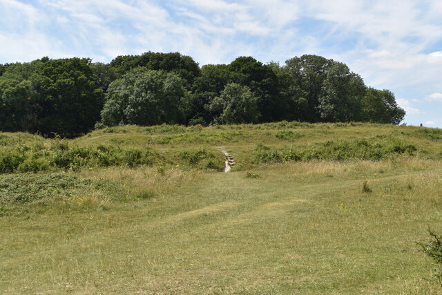
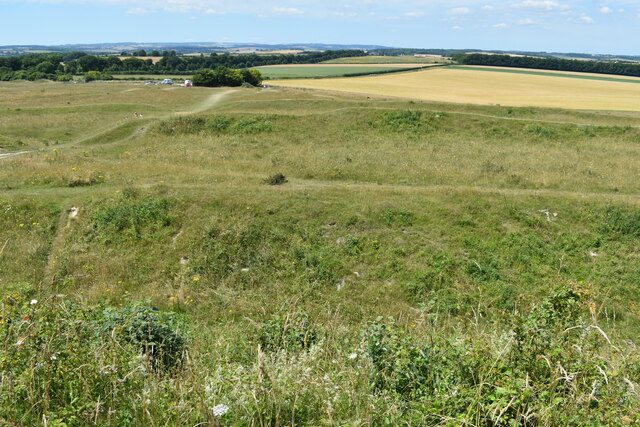
Boundary Copse is a picturesque woodland located in the county of Dorset, England. Nestled in the scenic countryside, this woodland is a haven for nature lovers and offers a tranquil escape from the hustle and bustle of everyday life.

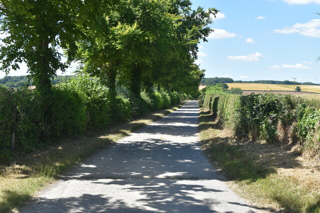
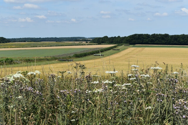
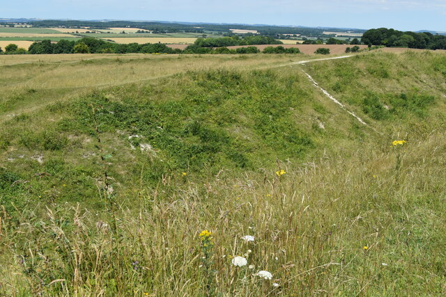
Covering an area of approximately 20 acres, Boundary Copse is characterized by its dense and diverse vegetation. The woodland is primarily composed of broadleaf trees, including oak, beech, and ash, which create a stunning canopy overhead. These majestic trees provide shade and shelter for a wide range of wildlife species that call this woodland their home.

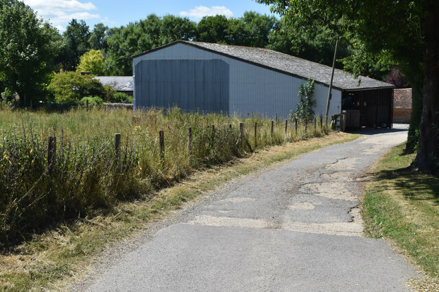
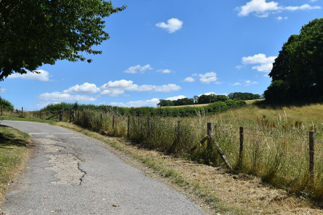
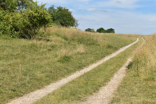
Visitors to Boundary Copse can explore the woodland through a network of well-maintained paths that wind their way through the trees. These paths offer a chance to immerse oneself in the natural beauty of the area and discover the hidden gems that lie within its boundaries. Along the way, visitors may encounter various species of birds, such as woodpeckers and owls, as well as small mammals like squirrels and hedgehogs.

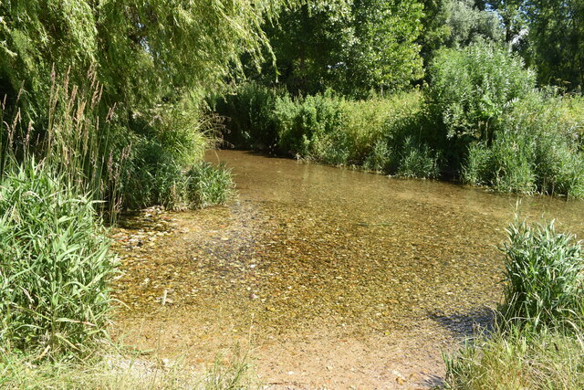
Boundary Copse is also home to a diverse array of plant life. Wildflowers bloom throughout the woodland during the spring and summer months, adding vibrant splashes of color to the landscape. The forest floor is covered in a thick carpet of moss and ferns, creating a lush and enchanting atmosphere.

Overall, Boundary Copse is a delightful woodland that offers a peaceful retreat for those seeking a connection with nature. Its rich biodiversity and stunning scenery make it a must-visit destination for both locals and tourists alike.

If you have any feedback on the listing, please let us know in the comments section below.

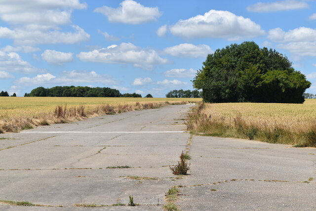
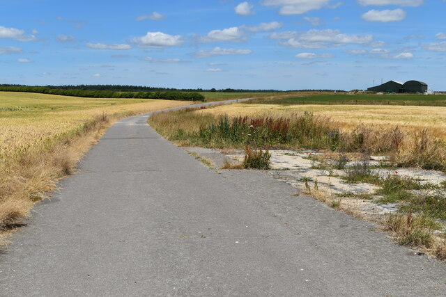
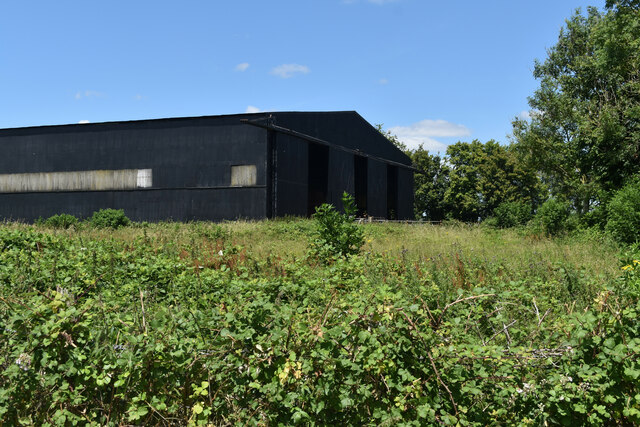
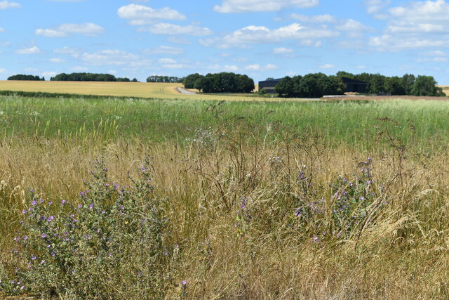
Boundary Copse Images

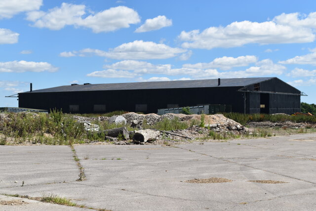
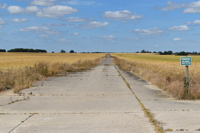
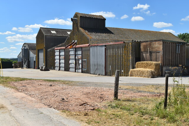
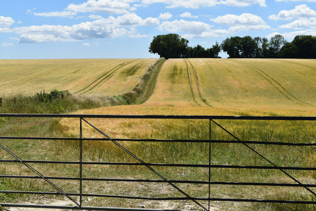
Images are sourced within 2km of 50.837126/-2.0733965 or Grid Reference ST9404. Thanks to Geograph Open Source API. All images are credited.

Disused taxiway, former Tarrant Rushton Airfield Although the runways have been removed, substantial concrete road and taxiways remain around the perimeter of the site.
Disused taxiway, former Tarrant Rushton Airfield
Although the runways have been removed, substantial concrete road and taxiways remain around the perimeter of the site.
Former hangar, Tarrant Rushton Airfield Several former airfield buildings remain, now in agricultural or light industrial use.
Former hangar, Tarrant Rushton Airfield
Several former airfield buildings remain, now in agricultural or light industrial use.
View across former Tarrant Rushton Airfield The airfield site is now primarily arable farmland. A former hangar is just visible in the trees.
View across former Tarrant Rushton Airfield
The airfield site is now primarily arable farmland. A former hangar is just visible in the trees.
Former hangar, Tarrant Rushton Airfield Several former airfield buildings remain, now in agricultural or light industrial use.
Former hangar, Tarrant Rushton Airfield
Several former airfield buildings remain, now in agricultural or light industrial use.
Southern end of former runway, Tarrant Rushton Airfield The width of the concrete has here been much reduced.
Southern end of former runway, Tarrant Rushton Airfield
The width of the concrete has here been much reduced.
Buildings at Preston Farm
Fields seen through gate, Preston Farm
Lane from Preston Farm
Shed at Preston Farm
Lane climbing through Preston Farm
Ford on The Tarrant A very clear shallow stream with a gravel bottom. The lane is not surfaced to either side of the stream and appears disused.
Ford on The Tarrant
A very clear shallow stream with a gravel bottom. The lane is not surfaced to either side of the stream and appears disused.
Farmland view from Badbury Rings NT car park With the point to point course receding into the distance.
Farmland view from Badbury Rings NT car park
With the point to point course receding into the distance.
Bridleway on course of Roman Road at Badbury Rings
Topograph stone at Badbury Rings The woodland appears to have grown up and obscured views of local landmarks presumably visible when this was installed.
Topograph stone at Badbury Rings
The woodland appears to have grown up and obscured views of local landmarks presumably visible when this was installed.
On the Iron Age earthworks at Badbury Rings
View to the summit of Badbury Rings The trig point is just visible on the horizon to the right.
View to the summit of Badbury Rings
The trig point is just visible on the horizon to the right.
View over the earthworks at Badbury Rings The National Trust car park is just visible to the left of the small copse.
View over the earthworks at Badbury Rings
The National Trust car park is just visible to the left of the small copse.
Show me another place!

Boundary Copse is located at Grid Ref: ST9404 (Lat: 50.837126, Lng: -2.0733965)

Unitary Authority: Dorset

Police Authority: Dorset

What 3 Words

///flask.plump.soaps. Near Sturminster Marshall, Dorset

Nearby Locations

Boundary Copse Target Wood

Related Wikis

RAF Tarrant Rushton

Royal Air Force Tarrant Rushton or more simply RAF Tarrant Rushton is a former Royal Air Force station near the village of Tarrant Rushton east of Blandford...

Tarrant Keyneston

Tarrant Keyneston is a village and civil parish in Dorset, England. It is situated in the Tarrant Valley, five miles (eight kilometres) southeast of Blandford...

Badbury Rings

Badbury Rings is an Iron Age hill fort and Scheduled Monument in east Dorset, England. It was in the territory of the Durotriges. In the Roman era a temple...

Tarrant Rushton

Tarrant Rushton is a village and civil parish in north Dorset, England. The village is situated in the Tarrant Valley about three miles (five kilometres...

Nearby Amenities

Located within 500m of 50.837126,-2.0733965
tumulus
Historic: archaeological_site
Source: NPE
Lat/Long: 50.8391971/-2.0774009
Archaeological Site: tumulus
Historic: archaeological_site
Source: NPE
Lat/Long: 50.8344284/-2.0757701
The data included in this document is from www.openstreetmap.org. The data is made available under ODbL.

Have you been to Boundary Copse?

Leave your review of Boundary Copse below (or comments, questions and feedback).