East Hangingwells Plantation

Wood, Forest in Durham

England

East Hangingwells Plantation

Sheep in fields east of farm at Rose Hill Expectant sheep occupy and graze these fields; at least one of them, nearest the camera, has already produced a lamb.
Sheep in fields east of farm at Rose Hill Credit: Trevor Littlewood

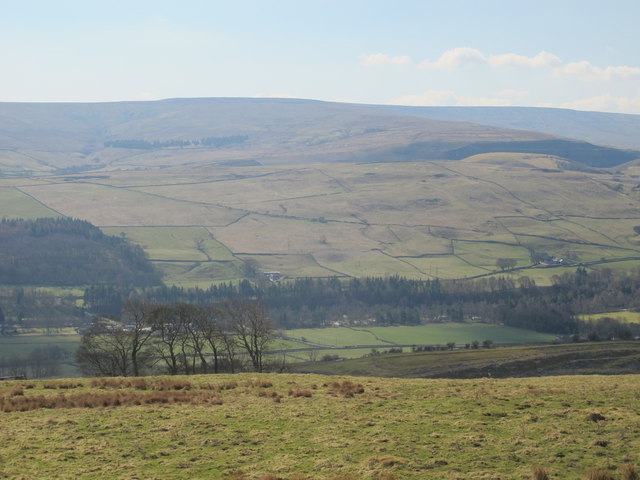
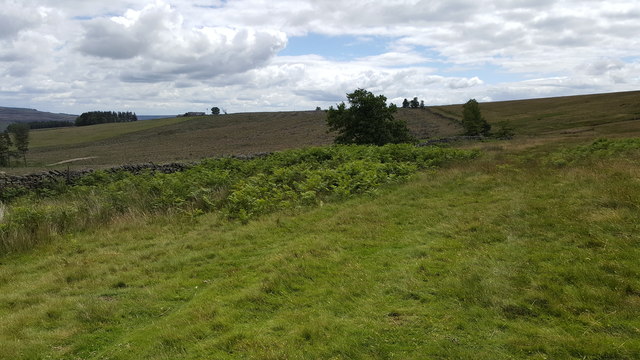
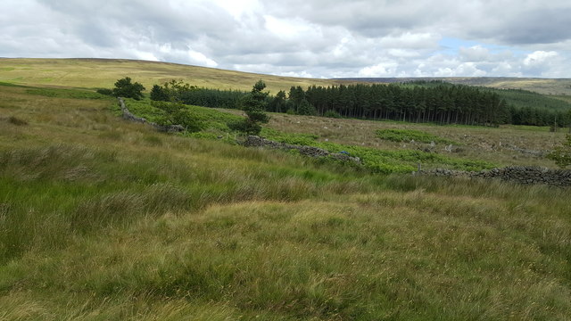
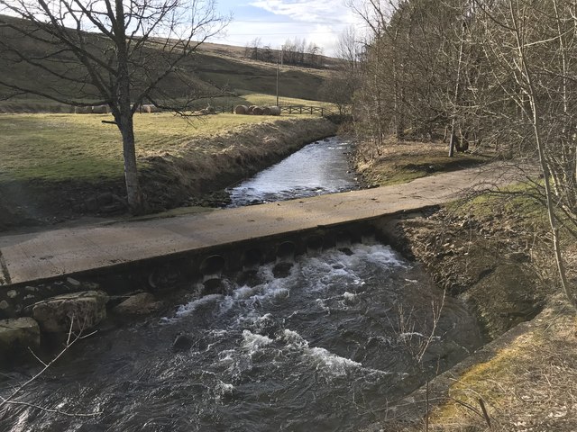
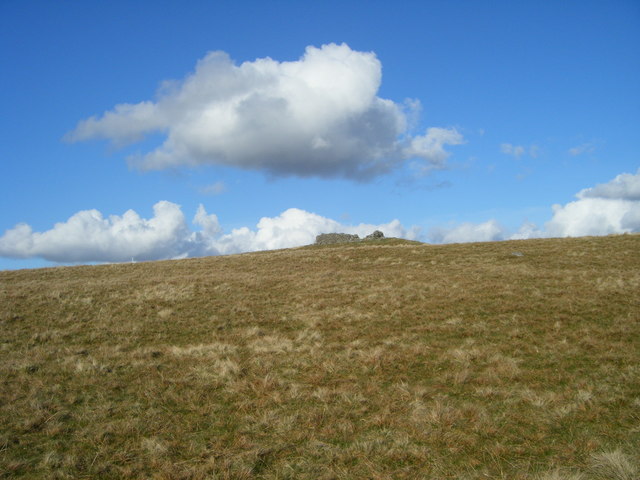
East Hangingwells Plantation is a picturesque woodland located in Durham, England. Situated in the eastern region of the county, it covers a vast area of approximately 500 acres. The plantation is known for its dense forest and rich biodiversity, attracting nature enthusiasts and hikers alike.

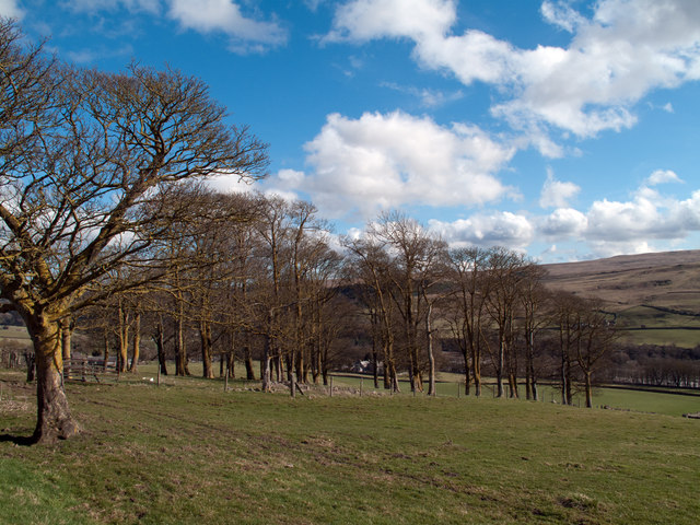
The woodland is characterized by a variety of tree species, including oak, beech, ash, and birch. The towering trees create a lush canopy, allowing only dappled sunlight to filter through to the forest floor. This creates a unique and serene atmosphere, perfect for those seeking tranquility and solitude.

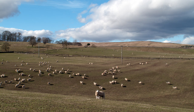
East Hangingwells Plantation is also home to a diverse range of wildlife. The woodland provides a natural habitat for numerous bird species, such as woodpeckers, owls, and various small passerines. Additionally, mammals like foxes, badgers, and deer can be spotted throughout the woodland, adding to its natural charm.

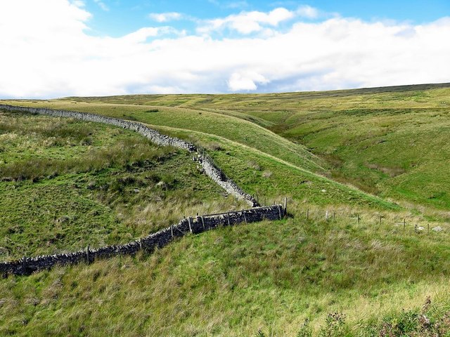
For outdoor enthusiasts, the plantation offers a network of well-maintained footpaths and trails, allowing visitors to explore the woodland at their own pace. The paths wind through the forest, offering glimpses of stunning vistas and hidden treasures. Whether it's a leisurely stroll or a more challenging hike, East Hangingwells Plantation caters to all levels of fitness and interests.

To ensure the preservation of this natural gem, the plantation is managed by local authorities who work diligently to maintain its ecological balance and protect its flora and fauna. This commitment to conservation ensures that East Hangingwells Plantation remains a haven for both nature lovers and those seeking respite from the hustle and bustle of everyday life.

If you have any feedback on the listing, please let us know in the comments section below.

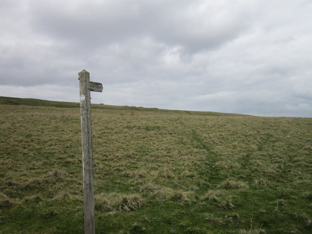
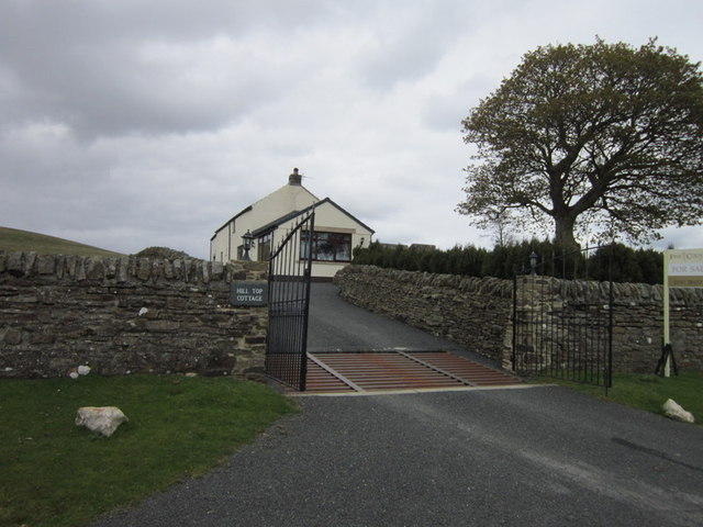
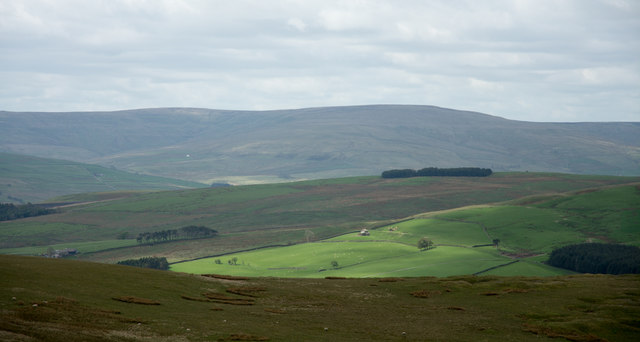
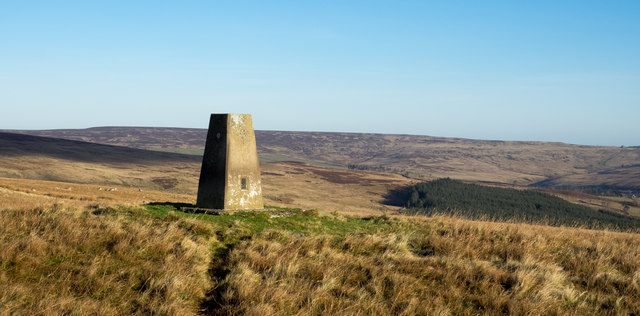
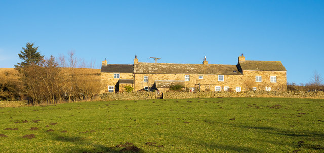
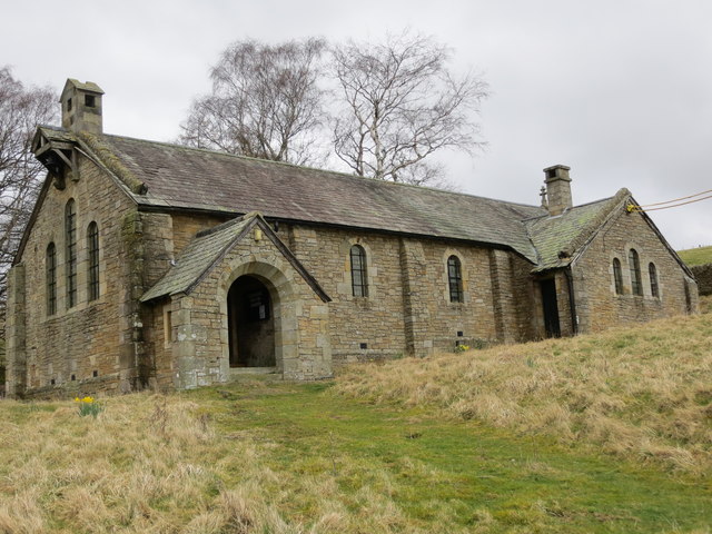
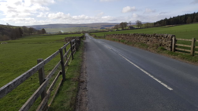
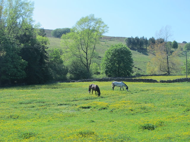
East Hangingwells Plantation Images

Images are sourced within 2km of 54.76225/-2.0849281 or Grid Reference NY9440. Thanks to Geograph Open Source API. All images are credited.

Sheep in fields east of farm at Rose Hill Expectant sheep occupy and graze these fields; at least one of them, nearest the camera, has already produced a lamb.
Sheep in fields east of farm at Rose Hill
Expectant sheep occupy and graze these fields; at least one of them, nearest the camera, has already produced a lamb.
South Eastgate Plantation Plantations are normally large and densely packed with coniferous trees; South Eastgate Plantation is small and thinly populated with broadleaved trees.
South Eastgate Plantation
Plantations are normally large and densely packed with coniferous trees; South Eastgate Plantation is small and thinly populated with broadleaved trees.
Weardale around Eastgate
Bewdley Plain and Black Hill
A path at Bewdley Plain
Hill Top Cottage
Hill Top Cottage
Slope descending from Long Hill The view is from a cairn, west from the high point of the moorland summit, Long Hill. Beyond, the sunlit ground is on the far side of Rook Hope and most distant are Fendrith Hill and Chapel Fell, seen across both Rook Hope and Weardale.
Slope descending from Long Hill
The view is from a cairn, west from the high point of the moorland summit, Long Hill. Beyond, the sunlit ground is on the far side of Rook Hope and most distant are Fendrith Hill and Chapel Fell, seen across both Rook Hope and Weardale.
Trig point on Crow Coal Hill - 2 The trig point, (flush bracket number S6627), with the hollow of the valley of Stanhope Burn beyond. The rather undistinguished high ground on the skyline is Horseshoe Hill.
Trig point on Crow Coal Hill - 2
The trig point, (flush bracket number S6627), with the hollow of the valley of Stanhope Burn beyond. The rather undistinguished high ground on the skyline is Horseshoe Hill.
High Brandon High Brandon has the appearance of being a terrace of several homes but according to an offer for sale in 2011 (at £450 000), it's a single house with an attached cottage. It sits high on the eastern slope of the valley of Rook Hope and is described as a "Traditional dales long house".
High Brandon
High Brandon has the appearance of being a terrace of several homes but according to an offer for sale in 2011 (at £450 000), it's a single house with an attached cottage. It sits high on the eastern slope of the valley of Rook Hope and is described as a "Traditional dales long house".
The now closed and derelict Church of St John at Rookhope Viewed from the south-west. A notice within the porch of the church indicates how the contents were dispersed upon closure in 2014. One can hope that it will find a new use as a dwelling.
The now closed and derelict Church of St John at Rookhope
Viewed from the south-west. A notice within the porch of the church indicates how the contents were dispersed upon closure in 2014. One can hope that it will find a new use as a dwelling.
Road between Rookhope and Eastgate
Horses grazing in a buttercup meadow south of Rookhope
Path on western side of Park Plantation The plantation has been felled and replanted recently.
Path on western side of Park Plantation
The plantation has been felled and replanted recently.
Dry stone wall on perimeter of Park Plantation, Reahope Moor
Boundary wall near Crow's Cleugh
Multiple tracks on East Slate Quarry Hill The tracks have been formed by years of passage by vehicles, mainly quad bikes but also perhaps, occasional tractors.
Multiple tracks on East Slate Quarry Hill
The tracks have been formed by years of passage by vehicles, mainly quad bikes but also perhaps, occasional tractors.
Church House Farm Ford This irish bridge ford is found on the driveway to Church House Farm.
Church House Farm Ford
This irish bridge ford is found on the driveway to Church House Farm.
Sheepfold, Stanhope Common
Show me another place!

East Hangingwells Plantation is located at Grid Ref: NY9440 (Lat: 54.76225, Lng: -2.0849281)

Unitary Authority: County Durham

Police Authority: Durham

What 3 Words

///birthing.placidly.rockets. Near Stanhope, Co. Durham

Related Wikis

Rookhope

Rookhope is a village in the civil parish of Stanhope, in County Durham, England. A former lead and fluorspar mining community, it first existed as a group...

Eastgate, County Durham

Eastgate is a village in the civil parish of Stanhope, in County Durham, England. It is situated in Weardale, a few miles west of Stanhope. In the 2001...

Eastgate railway station

Eastgate railway station, also known as Eastgate-in-Weardale, served the village of Eastgate in County Durham, North East England from 1895 to 1953 as...

Lintzgarth

Lintzgarth is a village in the civil parish of Stanhope, in County Durham, England. It is situated to the west of Rookhope. The Lintzgarth smeltmill was...

Weardale campaign

The Weardale campaign, part of the First War of Scottish Independence, occurred during July and August 1327 in Weardale, England. A Scottish force under...

Horsley Hall

Horsley Hall is a 17th-century country house, now in use as a hotel, near Stanhope, County Durham, England. It is a Grade II listed building. The manor...

Brotherlee

Brotherlee is a small village in the civil parish of Stanhope, in County Durham, England situated on the south side of Weardale, between Stanhope and Daddry...

Westernhope Burn Wood

Westernhope Burn Wood is a Site of Special Scientific Interest in the Wear Valley district of south-west County Durham, England. It occupies the steeply...

Nearby Amenities

Located within 500m of 54.76225,-2.0849281
Barrier: kissing_gate
Lat/Long: 54.7628379/-2.0840269
Barrier: kissing_gate
Source: survey;gps
Lat/Long: 54.7628934/-2.0840283
Barrier: stile
Source: survey;gps
Lat/Long: 54.765022/-2.079819
Power: pole
Lat/Long: 54.7619547/-2.0814237
Power: pole
Lat/Long: 54.7618525/-2.0825569
Power: pole
Lat/Long: 54.7614463/-2.0836647
Power: pole
Lat/Long: 54.760883/-2.0850688
Power: pole
Lat/Long: 54.7605347/-2.0859647
Barrier: entrance
Lat/Long: 54.762193/-2.0799352
Power: pole
Lat/Long: 54.7620746/-2.0799766
Power: pole
Lat/Long: 54.7624154/-2.0800296
Power: pole
Lat/Long: 54.7627482/-2.0801309
Power: pole
Lat/Long: 54.7637428/-2.0804554
Power: pole
Lat/Long: 54.7640547/-2.0808296
Power: pole
Lat/Long: 54.7643479/-2.0811756
Barrier: entrance
Lat/Long: 54.7653473/-2.0801023
Power: pole
Lat/Long: 54.7600101/-2.0872843
Power: pole
Lat/Long: 54.7592158/-2.0894786
Power: pole
Lat/Long: 54.7588321/-2.0890256
Power: pole
Lat/Long: 54.7584586/-2.0885761
Power: pole
Lat/Long: 54.7600417/-2.0899212
Power: pole
Lat/Long: 54.7604757/-2.0901586
Brandon Walls lead mine and ore works
Archaeological Site: industrial
Historic: archaeological_site
Image: https://www.geograph.org.uk/photo/6358445
Wikidata: Q17674560
Lat/Long: 54.7647502/-2.0847523
The data included in this document is from www.openstreetmap.org. The data is made available under ODbL.

Have you been to East Hangingwells Plantation?

Leave your review of East Hangingwells Plantation below (or comments, questions and feedback).