Sunderland Cleugh Plantation

Wood, Forest in Durham

England

Sunderland Cleugh Plantation

Sheep in fields east of farm at Rose Hill Expectant sheep occupy and graze these fields; at least one of them, nearest the camera, has already produced a lamb.
Sheep in fields east of farm at Rose Hill Credit: Trevor Littlewood

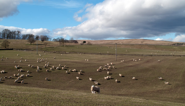
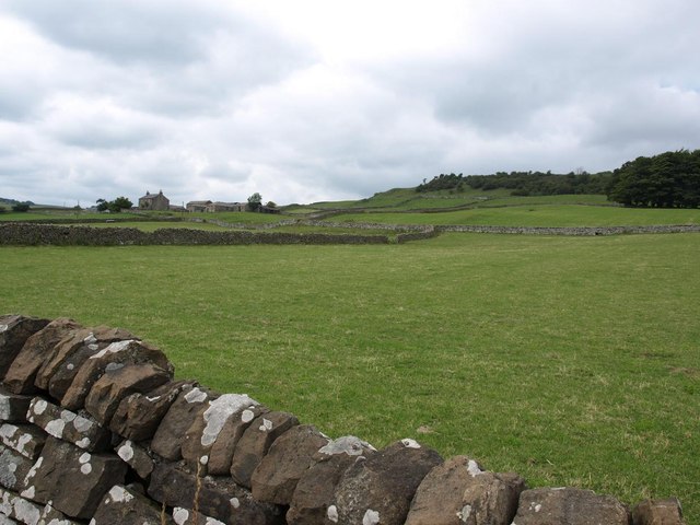
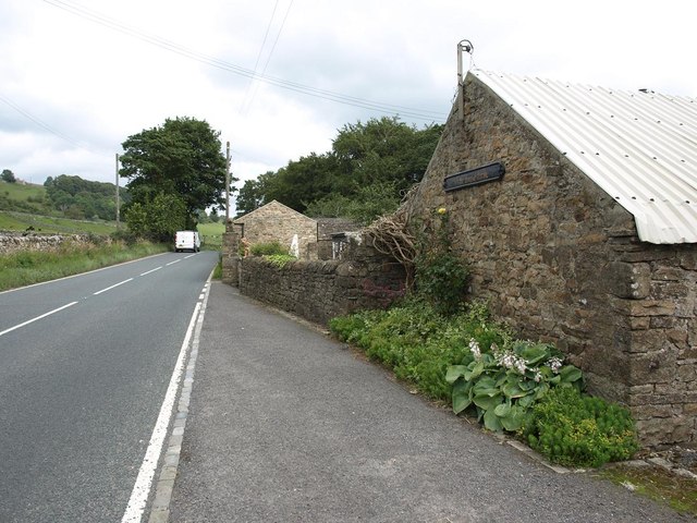
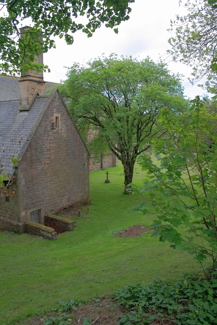
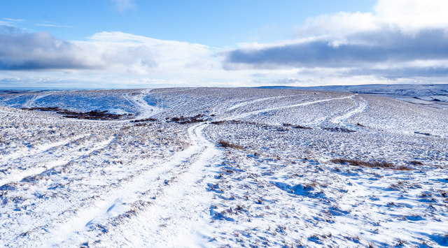
Sunderland Cleugh Plantation is a woodland area located in Durham, England. Situated near the village of Sunderland Bridge, the plantation covers a vast expanse of approximately 150 acres. It is a prominent feature of the local landscape and attracts visitors from both the local community and beyond.

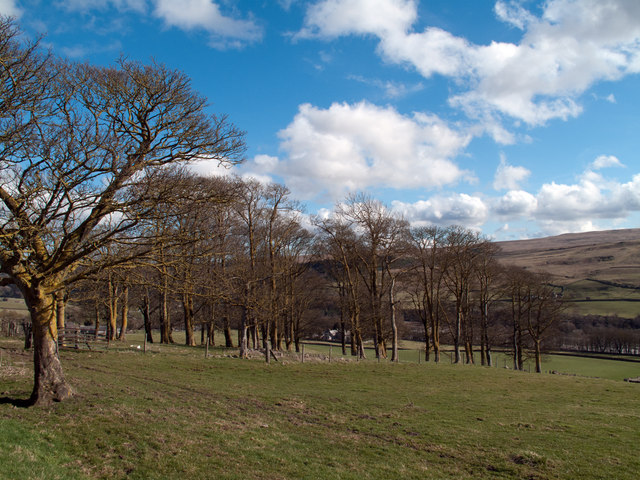
The plantation consists primarily of native broadleaf trees, such as oak, ash, and beech, which form a dense forest canopy. These trees provide a rich habitat for a diverse range of flora and fauna. The woodland floor is carpeted with a variety of wildflowers, including bluebells and primroses, which bloom vibrantly during the spring months.

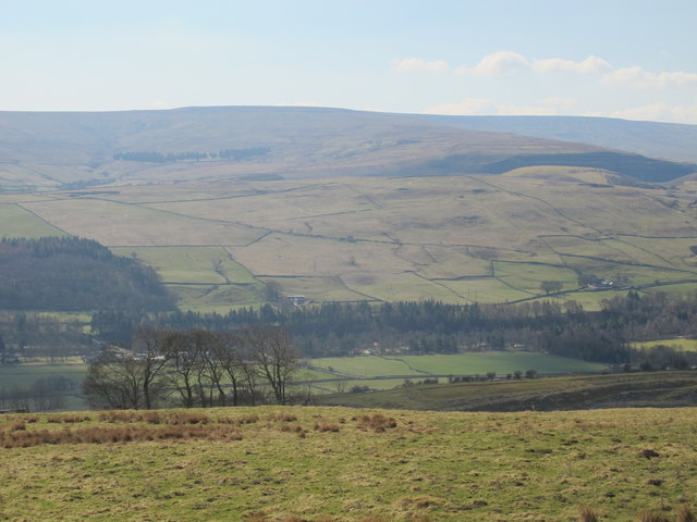
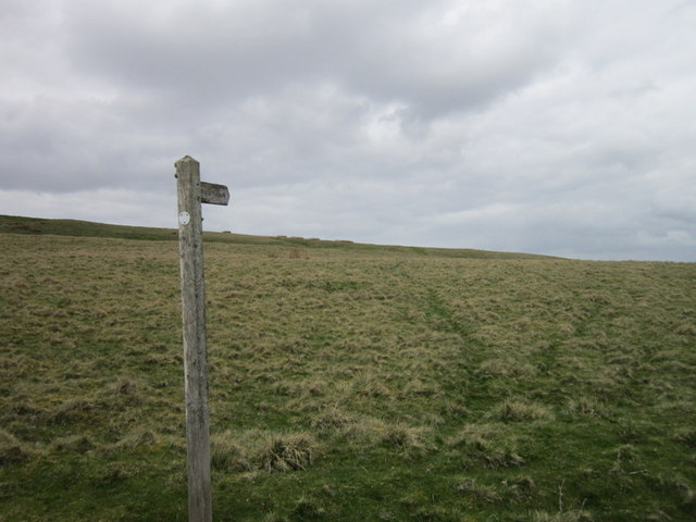
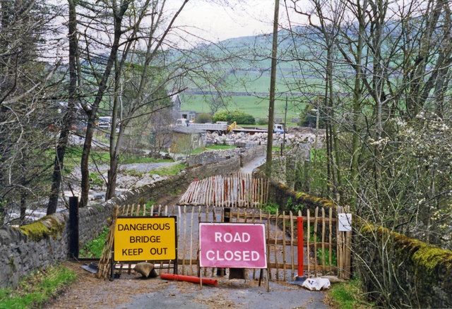
There are several well-maintained footpaths that crisscross the plantation, allowing visitors to explore the area and enjoy its natural beauty. The paths lead through different sections of the woodland, offering glimpses of the surrounding countryside and the River Wear, which flows nearby.

Sunderland Cleugh Plantation is not only a picturesque recreational space but also serves as an important conservation area. The woodland provides a home for various bird species, such as woodpeckers and owls, as well as mammals like deer and squirrels. The plantation management actively promotes biodiversity and sustainability, ensuring the long-term preservation of this natural habitat.

Overall, Sunderland Cleugh Plantation offers a tranquil escape from the hustle and bustle of urban life. Its serene atmosphere, diverse ecosystem, and scenic surroundings make it a popular destination for nature lovers, hikers, and wildlife enthusiasts alike.

If you have any feedback on the listing, please let us know in the comments section below.

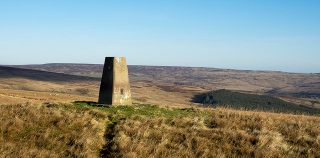
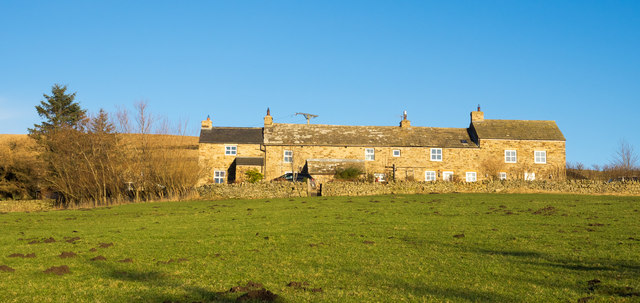
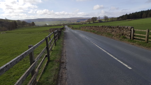
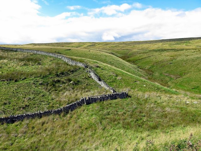
Sunderland Cleugh Plantation Images

Images are sourced within 2km of 54.756462/-2.0852422 or Grid Reference NY9440. Thanks to Geograph Open Source API. All images are credited.

Sheep in fields east of farm at Rose Hill Expectant sheep occupy and graze these fields; at least one of them, nearest the camera, has already produced a lamb.
Sheep in fields east of farm at Rose Hill
Expectant sheep occupy and graze these fields; at least one of them, nearest the camera, has already produced a lamb.
South Eastgate Plantation Plantations are normally large and densely packed with coniferous trees; South Eastgate Plantation is small and thinly populated with broadleaved trees.
South Eastgate Plantation
Plantations are normally large and densely packed with coniferous trees; South Eastgate Plantation is small and thinly populated with broadleaved trees.
Weardale around Eastgate
Bewdley Plain and Black Hill
Pastures and dry stone walls next to A689
White House Farm, on the A689
A path at Bewdley Plain
Hill Top Cottage
Hill Top Cottage
Entrance to Eastgate
Eastgate: approaching former station,  1995 View NW across a temporarily closed bridge over the River Wear, to the ex-NER Bishop Auckland (to left) - Wearhead (to right) line. Eastgate station and the service to Wearhead closed to passengers from 29/6/53, but goods continued until 1961, to Westgate until 1/7/68 and (for cement) from Eastgate until 17/3/93. The line was mothballed until 2004, then acquired as a heritage operation by the Weardale Railway for progressive restoration.
Eastgate: approaching former station, 1995
View NW across a temporarily closed bridge over the River Wear, to the ex-NER Bishop Auckland (to left) - Wearhead (to right) line. Eastgate station and the service to Wearhead closed to passengers from 29/6/53, but goods continued until 1961, to Westgate until 1/7/68 and (for cement) from Eastgate until 17/3/93. The line was mothballed until 2004, then acquired as a heritage operation by the Weardale Railway for progressive restoration.
All Saints Church, Eastgate
Village Hall, Eastgate
Trig point on Crow Coal Hill - 2 The trig point, (flush bracket number S6627), with the hollow of the valley of Stanhope Burn beyond. The rather undistinguished high ground on the skyline is Horseshoe Hill.
Trig point on Crow Coal Hill - 2
The trig point, (flush bracket number S6627), with the hollow of the valley of Stanhope Burn beyond. The rather undistinguished high ground on the skyline is Horseshoe Hill.
High Brandon High Brandon has the appearance of being a terrace of several homes but according to an offer for sale in 2011 (at £450 000), it's a single house with an attached cottage. It sits high on the eastern slope of the valley of Rook Hope and is described as a "Traditional dales long house".
High Brandon
High Brandon has the appearance of being a terrace of several homes but according to an offer for sale in 2011 (at £450 000), it's a single house with an attached cottage. It sits high on the eastern slope of the valley of Rook Hope and is described as a "Traditional dales long house".
Road between Rookhope and Eastgate
Boundary wall near Crow's Cleugh
Multiple tracks on East Slate Quarry Hill The tracks have been formed by years of passage by vehicles, mainly quad bikes but also perhaps, occasional tractors.
Multiple tracks on East Slate Quarry Hill
The tracks have been formed by years of passage by vehicles, mainly quad bikes but also perhaps, occasional tractors.
Show me another place!

Sunderland Cleugh Plantation is located at Grid Ref: NY9440 (Lat: 54.756462, Lng: -2.0852422)

Unitary Authority: County Durham

Police Authority: Durham

What 3 Words

///outcasts.hobbies.jigging. Near Stanhope, Co. Durham

Related Wikis

Rookhope

Rookhope is a village in the civil parish of Stanhope, in County Durham, England. A former lead and fluorspar mining community, it first existed as a group...

Eastgate, County Durham

Eastgate is a village in the civil parish of Stanhope, in County Durham, England. It is situated in Weardale, a few miles west of Stanhope. In the 2001...

Eastgate railway station

Eastgate railway station, also known as Eastgate-in-Weardale, served the village of Eastgate in County Durham, North East England from 1895 to 1953 as...

Weardale campaign

The Weardale campaign, part of the First War of Scottish Independence, occurred during July and August 1327 in Weardale, England. A Scottish force under...

Horsley Hall

Horsley Hall is a 17th-century country house, now in use as a hotel, near Stanhope, County Durham, England. It is a Grade II listed building. The manor...

Brotherlee

Brotherlee is a small village in the civil parish of Stanhope, in County Durham, England situated on the south side of Weardale, between Stanhope and Daddry...

Westernhope Burn Wood

Westernhope Burn Wood is a Site of Special Scientific Interest in the Wear Valley district of south-west County Durham, England. It occupies the steeply...

Lintzgarth

Lintzgarth is a village in the civil parish of Stanhope, in County Durham, England. It is situated to the west of Rookhope. The Lintzgarth smeltmill was...

Nearby Amenities

Located within 500m of 54.756462,-2.0852422
Bus Stop
Dents Gate
Naptan AtcoCode: 13004508D
Naptan Bearing: SE
Naptan CommonName: Dents Gate
Naptan Indicator: south east bound
Naptan Landmark: Landmark not known
Naptan NaptanCode: durdapmp
Naptan Notes: Opposite Sunderland Cleugh- unnamed road- north of Eastgate.
Naptan Street: Unclassified Road Eastgate to Rookhope
Naptan Verified: no
Source: naptan_import
Lat/Long: 54.7530513/-2.0848652
Bus Stop
Dents Gate
Naptan AtcoCode: 13004508H
Naptan Bearing: NW
Naptan CommonName: Dents Gate
Naptan Indicator: north west bound
Naptan Landmark: Landmark not known
Naptan NaptanCode: durdapmt
Naptan Notes: Sunderland Cleugh- on road between Eastgate and Rookhope- Stanhope
Naptan Street: Unclassified Road Eastgate to Rookhope
Naptan Verified: no
Source: naptan_import
Lat/Long: 54.7530523/-2.085049
Barrier: entrance
Source: survey;gps
Lat/Long: 54.7546344/-2.0802547
Barrier: entrance
Source: survey;gps
Lat/Long: 54.7565433/-2.0807512
Barrier: entrance
Lat/Long: 54.7533597/-2.0877347
Barrier: entrance
Lat/Long: 54.7537184/-2.0869061
Turn Wheel Fall
Waterway: waterfall
Lat/Long: 54.7537896/-2.0808739
Barrier: stile
Lat/Long: 54.7536585/-2.0812447
Power: pole
Lat/Long: 54.7584814/-2.0918166
Burnt Walls
Historic: ruins
Source Name: Historic OS mapping
Lat/Long: 54.7580662/-2.0789091
Power: pole
Lat/Long: 54.760883/-2.0850688
Power: pole
Lat/Long: 54.7605347/-2.0859647
Power: pole
Lat/Long: 54.7600101/-2.0872843
Power: pole
Lat/Long: 54.757841/-2.0912124
Power: pole
Lat/Long: 54.7573434/-2.0907176
Power: pole
Lat/Long: 54.7566423/-2.0900188
Power: pole
Lat/Long: 54.7559907/-2.0893765
Power: pole
Lat/Long: 54.7552942/-2.0886965
Power: pole
Lat/Long: 54.7549057/-2.0884725
Power: pole
Lat/Long: 54.7544367/-2.0882231
Power: pole
Lat/Long: 54.7536588/-2.0877993
Power: pole
Lat/Long: 54.752833/-2.0873447
Power: pole
Lat/Long: 54.7592158/-2.0894786
Power: pole
Lat/Long: 54.7588321/-2.0890256
Power: pole
Lat/Long: 54.7584586/-2.0885761
Power: pole
Lat/Long: 54.7600417/-2.0899212
Barrier: entrance
Source: survey;gps
Lat/Long: 54.7579328/-2.0785973
The data included in this document is from www.openstreetmap.org. The data is made available under ODbL.

Have you been to Sunderland Cleugh Plantation?

Leave your review of Sunderland Cleugh Plantation below (or comments, questions and feedback).