Low Bishopseat Plantation

Wood, Forest in Durham

England

Low Bishopseat Plantation

Plantation east of Weather Hill This is a small rectangular plantation lying north of an area known as Heights Pasture which is in turn north of Heights Quarry, (a large excavation on the north side of the Wear valley). It's seen here from the local high point - Weather Hill - just a few tens of metres to the west.
Plantation east of Weather Hill Credit: Trevor Littlewood

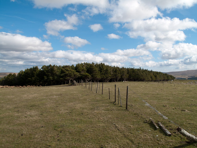
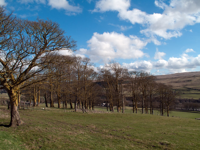
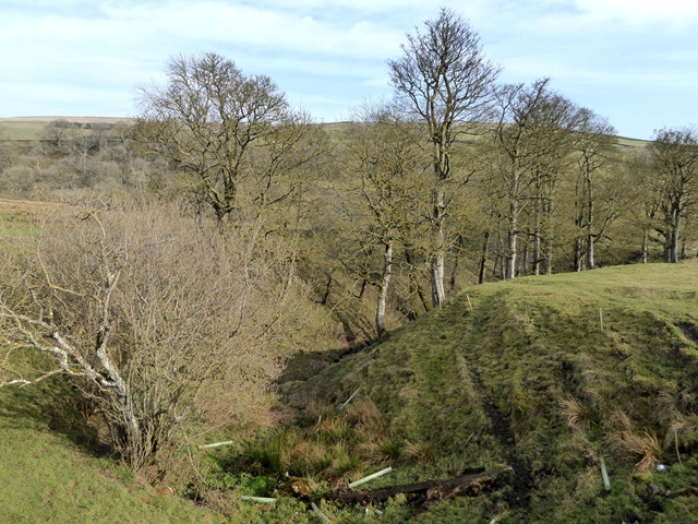
Low Bishopseat Plantation is a sprawling woodland situated in Durham, England. Covering an expansive area, the plantation is known for its dense forest and lush greenery. It is a popular destination for nature lovers and hikers alike.

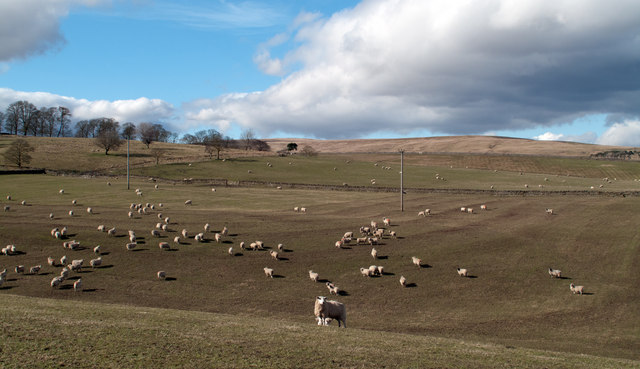
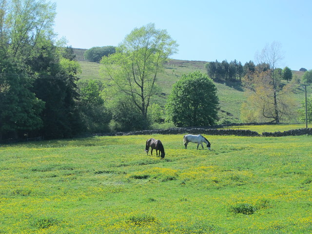
The plantation is characterized by a variety of tree species, including oak, birch, and beech. These tall, majestic trees create a serene and picturesque environment, providing habitat for a diverse range of wildlife. Bird enthusiasts can often spot various species such as woodpeckers, owls, and thrushes, making it a haven for birdwatching.

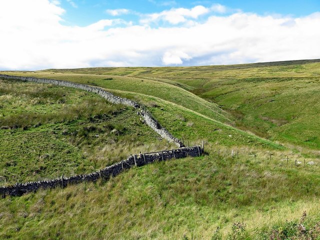
Traversing through Low Bishopseat Plantation, visitors can explore numerous walking trails, allowing them to immerse themselves in the beauty of nature. The paths are well-maintained, providing easy access for visitors of all ages and abilities. Along the trails, benches and picnic areas are strategically placed, allowing visitors to rest and enjoy the tranquility of the surroundings.

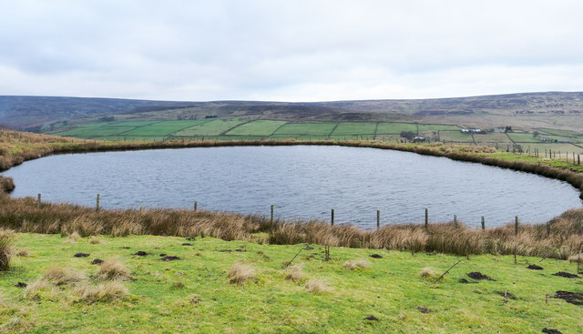
The plantation also boasts a small lake, providing a tranquil spot for relaxation and reflection. Visitors can often see ducks and other waterfowl gliding across the water's surface.

Low Bishopseat Plantation is a popular destination for families, nature enthusiasts, and those seeking a peaceful retreat from the hustle and bustle of city life. With its diverse flora and fauna, well-maintained trails, and serene atmosphere, it offers a perfect opportunity to connect with nature and enjoy the beauty of the woodlands.

If you have any feedback on the listing, please let us know in the comments section below.

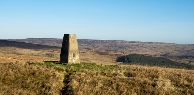
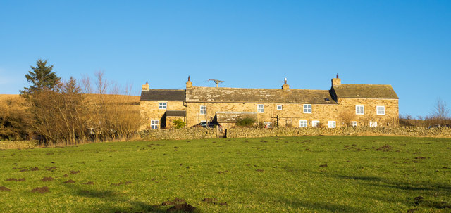
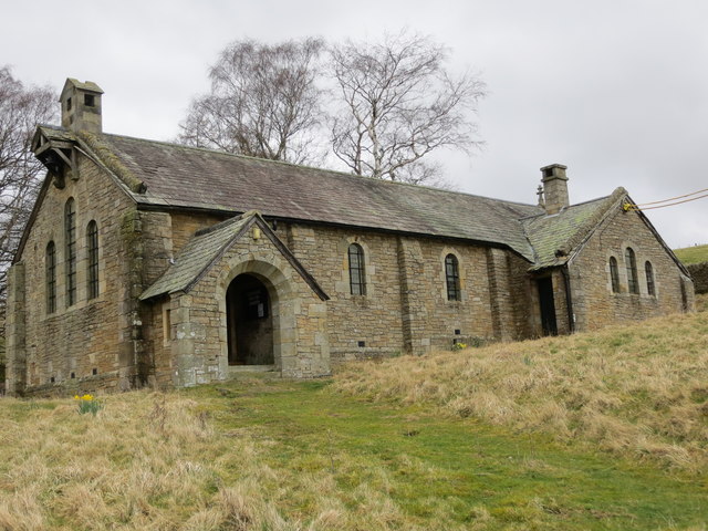
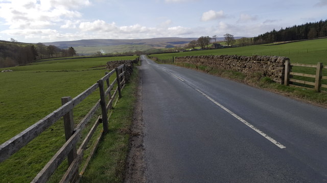
Low Bishopseat Plantation Images

Images are sourced within 2km of 54.759637/-2.0942308 or Grid Reference NY9440. Thanks to Geograph Open Source API. All images are credited.

Plantation east of Weather Hill This is a small rectangular plantation lying north of an area known as Heights Pasture which is in turn north of Heights Quarry, (a large excavation on the north side of the Wear valley). It's seen here from the local high point - Weather Hill - just a few tens of metres to the west.
Plantation east of Weather Hill
This is a small rectangular plantation lying north of an area known as Heights Pasture which is in turn north of Heights Quarry, (a large excavation on the north side of the Wear valley). It's seen here from the local high point - Weather Hill - just a few tens of metres to the west.
Sheep in fields east of farm at Rose Hill Expectant sheep occupy and graze these fields; at least one of them, nearest the camera, has already produced a lamb.
Sheep in fields east of farm at Rose Hill
Expectant sheep occupy and graze these fields; at least one of them, nearest the camera, has already produced a lamb.
South Eastgate Plantation Plantations are normally large and densely packed with coniferous trees; South Eastgate Plantation is small and thinly populated with broadleaved trees.
South Eastgate Plantation
Plantations are normally large and densely packed with coniferous trees; South Eastgate Plantation is small and thinly populated with broadleaved trees.
Hill Top Cottage
Hill Top Cottage
Trig point on Crow Coal Hill - 2 The trig point, (flush bracket number S6627), with the hollow of the valley of Stanhope Burn beyond. The rather undistinguished high ground on the skyline is Horseshoe Hill.
Trig point on Crow Coal Hill - 2
The trig point, (flush bracket number S6627), with the hollow of the valley of Stanhope Burn beyond. The rather undistinguished high ground on the skyline is Horseshoe Hill.
High Brandon High Brandon has the appearance of being a terrace of several homes but according to an offer for sale in 2011 (at £450 000), it's a single house with an attached cottage. It sits high on the eastern slope of the valley of Rook Hope and is described as a "Traditional dales long house".
High Brandon
High Brandon has the appearance of being a terrace of several homes but according to an offer for sale in 2011 (at £450 000), it's a single house with an attached cottage. It sits high on the eastern slope of the valley of Rook Hope and is described as a "Traditional dales long house".
The now closed and derelict Church of St John at Rookhope Viewed from the south-west. A notice within the porch of the church indicates how the contents were dispersed upon closure in 2014. One can hope that it will find a new use as a dwelling.
The now closed and derelict Church of St John at Rookhope
Viewed from the south-west. A notice within the porch of the church indicates how the contents were dispersed upon closure in 2014. One can hope that it will find a new use as a dwelling.
Road between Rookhope and Eastgate
Horses grazing in a buttercup meadow south of Rookhope
Boundary wall near Crow's Cleugh
Church House Farm Ford This irish bridge ford is found on the driveway to Church House Farm.
Church House Farm Ford
This irish bridge ford is found on the driveway to Church House Farm.
Circular reservoir above Rookhope village The small reservoir lies on the moorland of Smailsburn Common south-west of the village.
Circular reservoir above Rookhope village
The small reservoir lies on the moorland of Smailsburn Common south-west of the village.
Gully in the lower Rookhope valley Below South Hanging Wells Farm.
Gully in the lower Rookhope valley
Below South Hanging Wells Farm.
Bungalow at South Hanging Wells Farm
Footbridge over Rookhope Burn On the Weardale Way long distance path.
Footbridge over Rookhope Burn
On the Weardale Way long distance path.
Trees beside the Rookhope Burn
St Johns Church, Rookhope
Horse and rider crossing Crow Coal Hill An unusual sight on the moorlands above the Wear valley. Horses and riders rarely reach such altitudes partly because of access issues but also, presumably, due to the difficult nature of the terrain. Curiously, two other riders were seen out on the slopes of the hill later in the day.
Windy Hill, across Rook Hope, is in the distance.
Horse and rider crossing Crow Coal Hill
An unusual sight on the moorlands above the Wear valley. Horses and riders rarely reach such altitudes partly because of access issues but also, presumably, due to the difficult nature of the terrain. Curiously, two other riders were seen out on the slopes of the hill later in the day. Windy Hill, across Rook Hope, is in the distance.
Show me another place!

Low Bishopseat Plantation is located at Grid Ref: NY9440 (Lat: 54.759637, Lng: -2.0942308)

Unitary Authority: County Durham

Police Authority: Durham

What 3 Words

///splints.foiled.factually. Near Stanhope, Co. Durham

Related Wikis

Rookhope

Rookhope is a village in the civil parish of Stanhope, in County Durham, England. A former lead and fluorspar mining community, it first existed as a group...

Eastgate, County Durham

Eastgate is a village in the civil parish of Stanhope, in County Durham, England. It is situated in Weardale, a few miles west of Stanhope. In the 2001...

Weardale campaign

The Weardale campaign, part of the First War of Scottish Independence, occurred during July and August 1327 in Weardale, England. A Scottish force under...

Eastgate railway station

Eastgate railway station, also known as Eastgate-in-Weardale, served the village of Eastgate in County Durham, North East England from 1895 to 1953 as...

Lintzgarth

Lintzgarth is a village in the civil parish of Stanhope, in County Durham, England. It is situated to the west of Rookhope. The Lintzgarth smeltmill was...

Brotherlee

Brotherlee is a small village in the civil parish of Stanhope, in County Durham, England situated on the south side of Weardale, between Stanhope and Daddry...

West Rigg Open Cutting

West Rigg Open Cutting is a Site of Special Scientific Interest in the Wear Valley district of west County Durham, England. It is a disused ironstone...

Horsley Hall

Horsley Hall is a 17th-century country house, now in use as a hotel, near Stanhope, County Durham, England. It is a Grade II listed building. The manor...

Nearby Amenities

Located within 500m of 54.759637,-2.0942308
Power: pole
Lat/Long: 54.7584814/-2.0918166
Power: pole
Lat/Long: 54.7591558/-2.0924778
Power: pole
Lat/Long: 54.7600256/-2.0930913
Power: pole
Lat/Long: 54.7608358/-2.0936573
Power: pole
Lat/Long: 54.7615028/-2.0938101
Power: pole
Lat/Long: 54.762145/-2.0939684
Power: pole
Lat/Long: 54.7628778/-2.0941293
Power: pole
Lat/Long: 54.7636353/-2.0943117
Power: pole
Lat/Long: 54.7600101/-2.0872843
Power: pole
Lat/Long: 54.757841/-2.0912124
Power: pole
Lat/Long: 54.7573434/-2.0907176
Power: pole
Lat/Long: 54.7566423/-2.0900188
Power: pole
Lat/Long: 54.7592158/-2.0894786
Power: pole
Lat/Long: 54.7588321/-2.0890256
Power: pole
Lat/Long: 54.7584586/-2.0885761
Power: pole
Lat/Long: 54.7600417/-2.0899212
Power: pole
Lat/Long: 54.7604757/-2.0901586
The data included in this document is from www.openstreetmap.org. The data is made available under ODbL.

Have you been to Low Bishopseat Plantation?

Leave your review of Low Bishopseat Plantation below (or comments, questions and feedback).