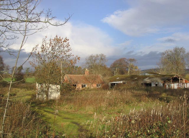
Old Broom Wood

Wood, Forest in Northumberland

England

Old Broom Wood

A view across the plain from Common Loaning Lowland arable on the fertile floodplain of the River Till.

This photograph was taken during the Coronavirus (COVID-19) pandemic of 2020/21/22.
A view across the plain from Common Loaning Credit: James T M Towill

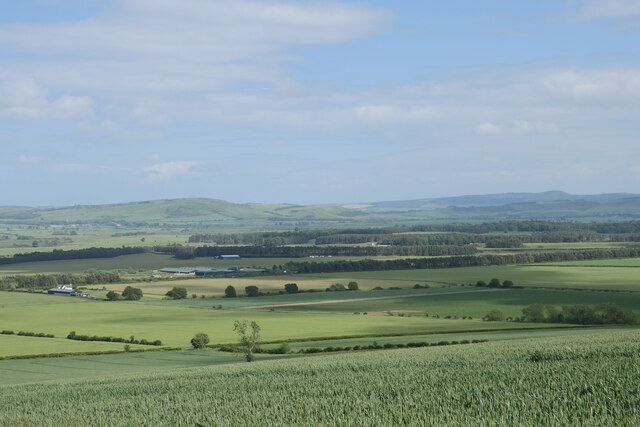
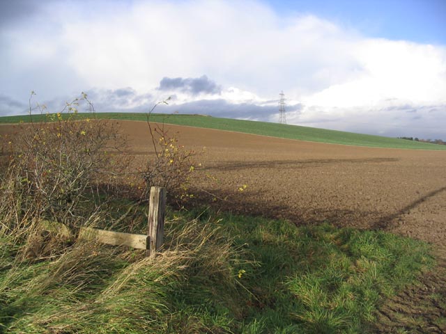
Old Broom Wood is a picturesque forest located in Northumberland, England. Covering an area of approximately 100 acres, this ancient woodland is renowned for its natural beauty and rich biodiversity. The wood is situated near the village of Broomhaugh, nestled within the Northumberland National Park.

The forest is predominantly composed of mature oak, beech, and ash trees, which create a dense canopy providing shade and shelter for a variety of wildlife. The woodland floor is adorned with a carpet of wildflowers, ferns, and mosses, adding to its enchanting atmosphere.

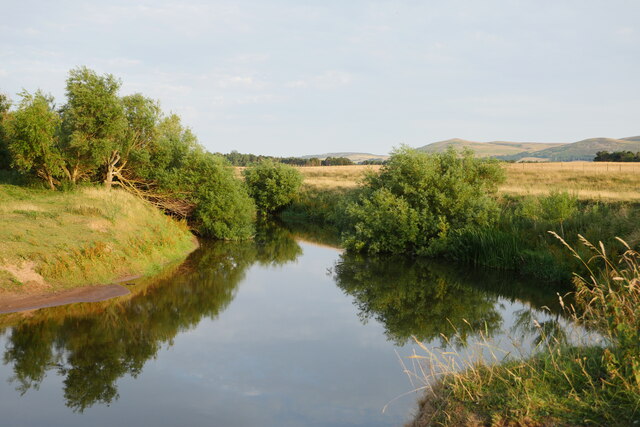
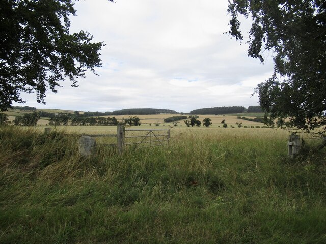
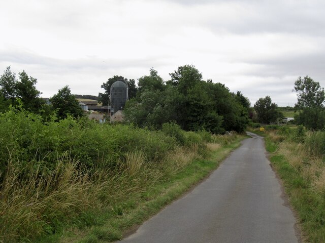
Old Broom Wood is crisscrossed by a network of well-maintained footpaths, making it easily accessible for visitors who wish to explore its serene surroundings. These trails meander through the forest, leading to several tranquil spots, including a small stream and a secluded pond. Birdwatchers are often delighted by the presence of various species, such as woodpeckers, owls, and warblers, which can be spotted among the treetops.

The wood has a rich history, with evidence of human activity dating back centuries. Ancient ruins, including remnants of stone walls and a disused quarry, can still be discovered within its boundaries. This adds an element of intrigue and fascination for those interested in the area's past.

Whether it's a leisurely stroll, a picnic, or bird-watching, Old Broom Wood offers a peaceful retreat for nature enthusiasts and those seeking solace in the beauty of the great outdoors.

If you have any feedback on the listing, please let us know in the comments section below.

Old Broom Wood Images

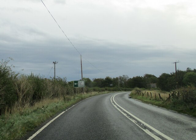
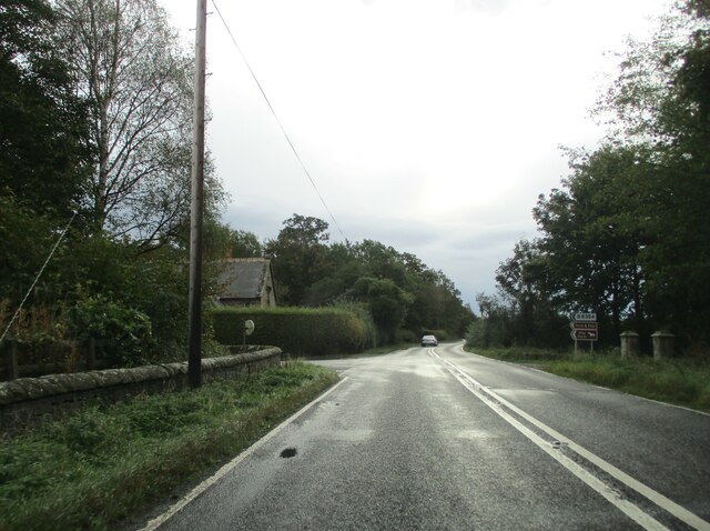
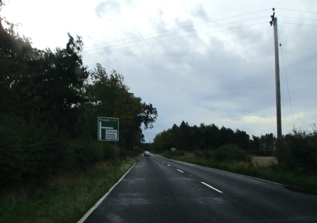
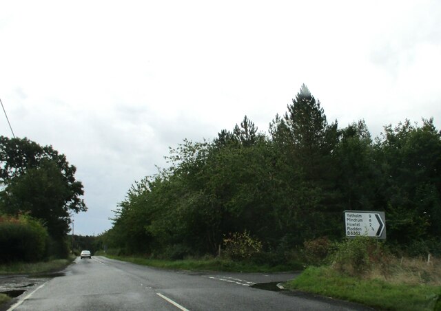
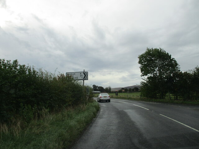
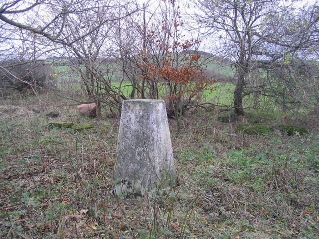
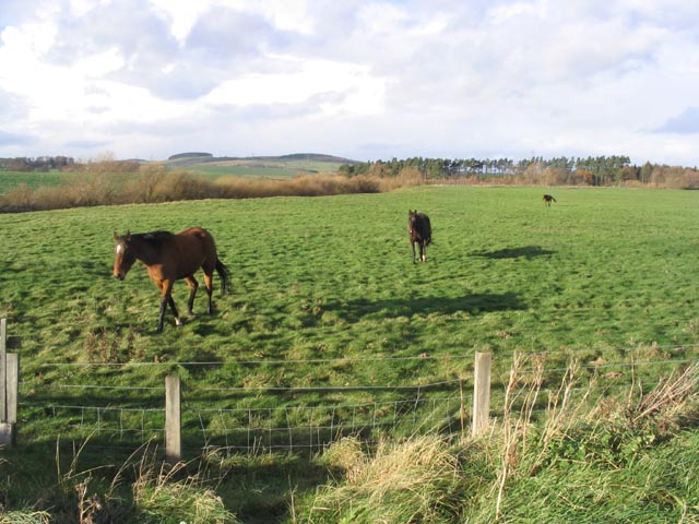
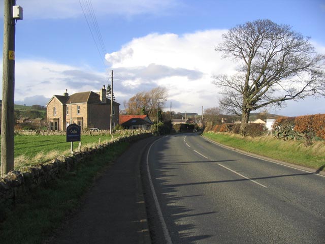
Images are sourced within 2km of 55.609817/-2.0962642 or Grid Reference NT9435. Thanks to Geograph Open Source API. All images are credited.

A view across the plain from Common Loaning Lowland arable on the fertile floodplain of the River Till.

This photograph was taken during the Coronavirus (COVID-19) pandemic of 2020/21/22.
A view across the plain from Common Loaning
Lowland arable on the fertile floodplain of the River Till. This photograph was taken during the Coronavirus (COVID-19) pandemic of 2020/21/22.
A July evening by the River Till A beautiful, humid July evening by the River Till upstream of Redscar Bridge.  The Cheviot Hills provide the backdrop here.

This photograph was taken during the Coronavirus (COVID-19) pandemic of 2020/21/22.
A July evening by the River Till
A beautiful, humid July evening by the River Till upstream of Redscar Bridge. The Cheviot Hills provide the backdrop here. This photograph was taken during the Coronavirus (COVID-19) pandemic of 2020/21/22.
Kimmerston
Kimmerston
Kimmerston
Kimmerston
Approaching  Ford  and  Etal  junction  on  A697
Approaching Ford and Etal junction on A697
Junction  of  B6354  to  Ford  and  Etal.  Flodden  Lodge To the right the gateposts of a carriageway to Sybil's Well on Flodden Hill
Junction of B6354 to Ford and Etal. Flodden Lodge
To the right the gateposts of a carriageway to Sybil's Well on Flodden Hill
Approaching  junction  of  B6352  on  the  right In the trees to the left is Tilesheds Sawmill the O/S map states it is disused
Approaching junction of B6352 on the right
In the trees to the left is Tilesheds Sawmill the O/S map states it is disused
Junction  of  B6352  on  the  right  from  A697 To the left the track into Tileshed Sawmill, said on OS map to be disused.
Junction of B6352 on the right from A697
To the left the track into Tileshed Sawmill, said on OS map to be disused.
Minor  road  junction  on  A697  to  Milfield  Hill  and  beyond
Minor road junction on A697 to Milfield Hill and beyond
The trig point on Whitton Hill This trig point at 73m is located within a small triangular piece of waste ground, surrounded by arable and pasture fields.
The trig point on Whitton Hill
This trig point at 73m is located within a small triangular piece of waste ground, surrounded by arable and pasture fields.
Follow the leader Horses in a field near Redscar Bridge.
Follow the leader
Horses in a field near Redscar Bridge.
Approaching Milfield from the Southwest
Ploughed field Looking towards Whitton Hill.
Ploughed field
Looking towards Whitton Hill.
Rainbow over the A697 Taken from the junction of the B6352 and the A697 near the disused Tilesheds Sawmill.
Rainbow over the A697
Taken from the junction of the B6352 and the A697 near the disused Tilesheds Sawmill.
The B6354 near Flodden Lodge
The Red Lion Inn at Milfield
Disused saw mill At Tilesheds by the A697.
Disused saw mill
At Tilesheds by the A697.
Stubble field Viewed from the A697.
Stubble field
Viewed from the A697.
Show me another place!

Old Broom Wood is located at Grid Ref: NT9435 (Lat: 55.609817, Lng: -2.0962642)

Unitary Authority: Northumberland

Police Authority: Northumbria

What 3 Words

///gong.bliss.foiled. Near Ford, Northumberland

Related Wikis

Maelmin Henge

Maelmin Henge is modern interpretation/reconstruction of a henge monument near the village of Milfield, Northumberland in the Till Valley. It was built...

Glendale, Northumberland

Glendale is the name of a valley in North Northumberland that runs from the Cheviot Hills at Kirknewton onto the Milfield Plain, formed by the River Glen...

Milfield

Milfield is a village in Northumberland, England about 3 miles (5 km) northwest of Wooler. The A697 road passes through the village. == History == Milfield...

RAF Milfield

Royal Air Force Milfield or more simply RAF Milfield is a former Royal Air Force station which operated during the Second World War, located near Milfield...

Nearby Amenities

Located within 500m of 55.609817,-2.0962642
Power: tower
Lat/Long: 55.6060148/-2.0992377
Power: tower
Lat/Long: 55.605888/-2.0942841
The data included in this document is from www.openstreetmap.org. The data is made available under ODbL.

Have you been to Old Broom Wood?

Leave your review of Old Broom Wood below (or comments, questions and feedback).