Lake Wood
Wood, Forest in Northumberland
England
Lake Wood
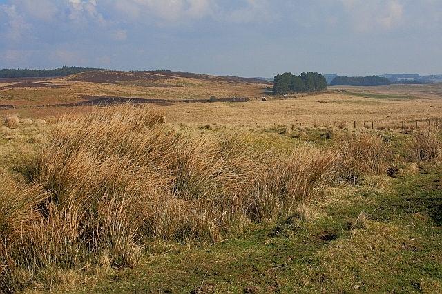
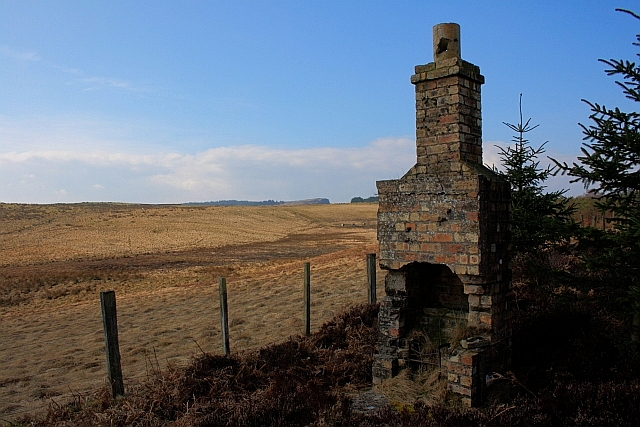
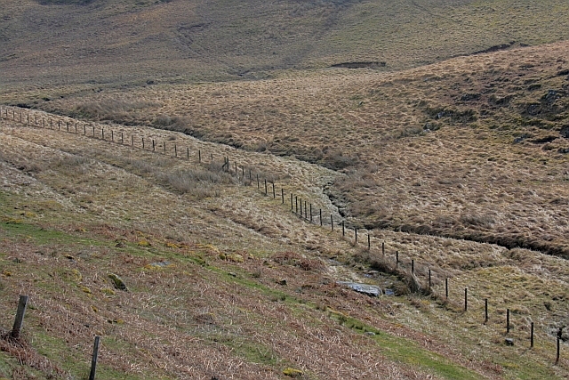
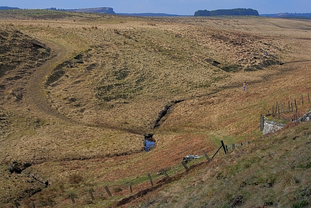
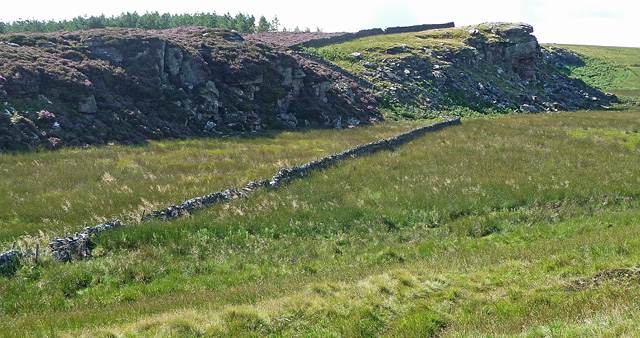
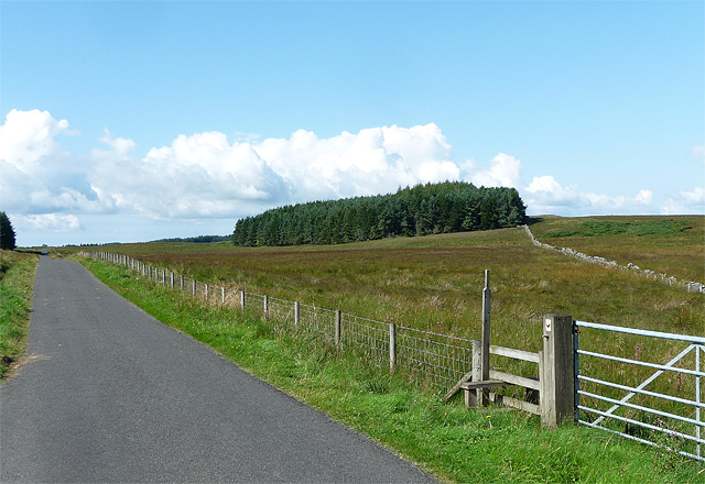
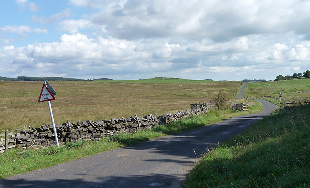
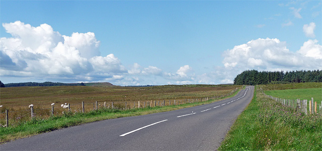
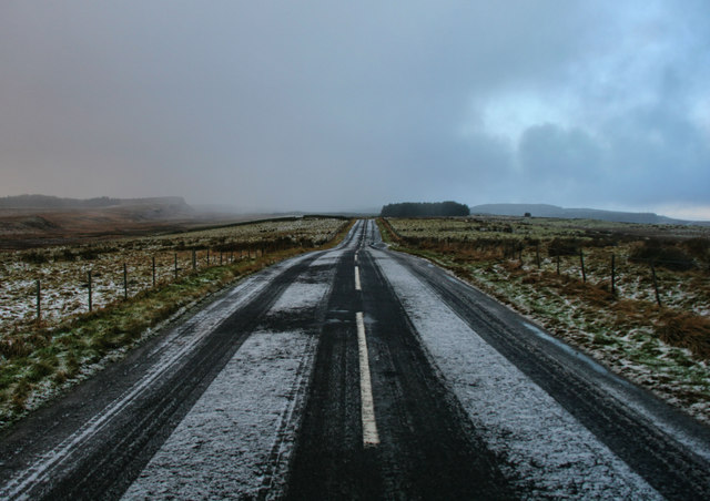
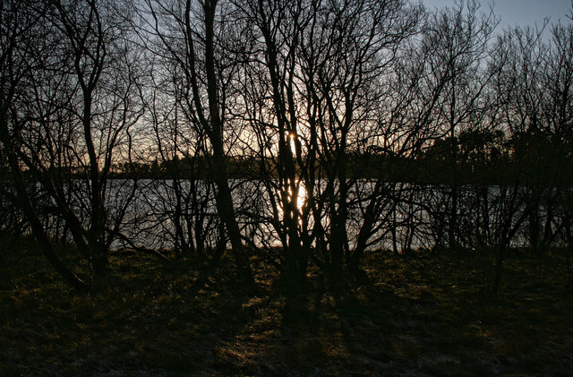
Lake Wood is a picturesque forest located in Northumberland, England. Spread across an area of approximately 300 acres, it is known for its serene beauty, diverse fauna, and tranquil lake. The forest is situated in close proximity to the village of Wood, offering easy access to visitors from nearby towns and cities.
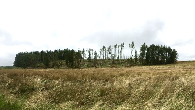
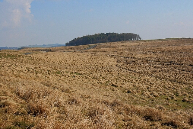
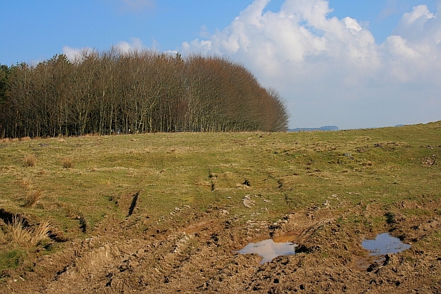
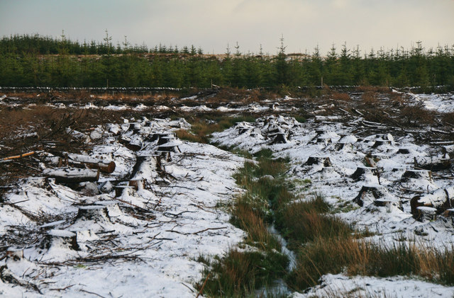
The woodland itself is predominantly composed of native species such as oak, beech, and birch trees, creating a rich and vibrant ecosystem. The dense canopy provides ample shade, making it an ideal spot for nature enthusiasts and hikers seeking respite from the summer heat.
At the heart of Lake Wood lies a pristine lake, surrounded by lush vegetation and teeming with wildlife. The crystal-clear waters are home to a variety of fish species, attracting fishing enthusiasts from far and wide. The lake's tranquil ambiance also makes it a popular spot for boating and kayaking, allowing visitors to immerse themselves in the natural beauty of the surroundings.
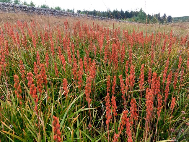
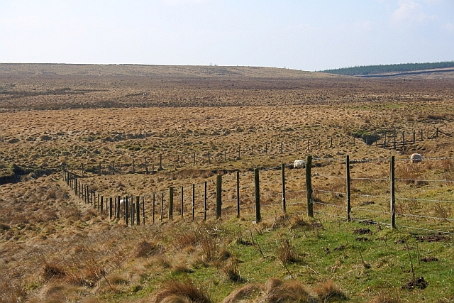
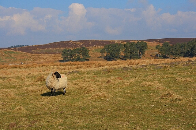
The forest is a haven for wildlife, with an abundance of bird species, including woodpeckers, owls, and various migratory birds. Nature lovers can explore the numerous walking trails that crisscross the woodland, offering glimpses of these creatures in their natural habitat.
Lake Wood is a popular destination for families, offering picnic areas and designated camping spots for overnight stays. The forest also hosts educational programs and guided tours, providing visitors with an opportunity to learn about the local flora and fauna.
Overall, Lake Wood in Northumberland is a tranquil and picturesque forest, offering a perfect blend of natural beauty, recreational activities, and educational experiences for all who visit.
If you have any feedback on the listing, please let us know in the comments section below.
Lake Wood Images
Images are sourced within 2km of 55.136867/-2.0857397 or Grid Reference NY9482. Thanks to Geograph Open Source API. All images are credited.

Lake Wood is located at Grid Ref: NY9482 (Lat: 55.136867, Lng: -2.0857397)
Unitary Authority: Northumberland
Police Authority: Northumbria
What 3 Words
///fairway.diets.drooling. Near Corsenside, Northumberland
Nearby Locations
Related Wikis

Sweethope Loughs
Sweethope Loughs are two freshwater lakes almost 1 mile (1.6 km) in length, the smaller one just east of the larger, in the southern part of Northumberland...

Thockrington
Thockrington is a village and former civil parish, now in the parish of Bavington, in Northumberland, England. The village lies about 10 miles (16 km)...
Bavington Crags
Bavington Crags is a Site of Special Scientific Interest (SSSI) in north Northumberland, England. The site is an outcropping of the Whin Sill which gives...

Colt Crag Reservoir
Colt Crag Reservoir is a relatively shallow reservoir in Northumberland, England adjacent to the A68 road, and 9 miles (14 km) north of Corbridge. The...
Little Swinburne Reservoir
Little Swinburne Reservoir is a small reservoir in Northumberland, England less than 1 mile (1.6 km) northeast of the A68 road, and about 9 miles (14 km...
Little Harle Tower
Little Harle Tower is a Grade II* listed privately owned country house with 15th-century origins, located at Little Harle, Kirkwhelpington, Northumberland...

Knowesgate railway station
Knowesgate was a stone-built railway station with goods sidings in Northumberland, England on the Wansbeck Railway between Morpeth and Reedsmouth, which...

Kirkwhelpington
Kirkwhelpington is a village and civil parish in the English county of Northumberland about 13 miles (21 km) northeast of Hexham. It is on the River Wansbeck...
Have you been to Lake Wood?
Leave your review of Lake Wood below (or comments, questions and feedback).