Sandy Flats Plantation

Wood, Forest in Gloucestershire Stroud

England

Sandy Flats Plantation

Stone Stile, Caudle Green Due South of the village green at the junction of Gloucestershire footpaths MMN23 & BBR25 in woodland. This point is also on the boundaries of: county constituency, civil parishes of Miserden and Brimsfield, and the county district. This is the view looking NE, the view SW is <a href="https://www.geograph.org.uk/photo/7104970">SO9410 : Stone Stile, Caudle Green</a>.
Stone Stile, Caudle Green Credit: Mr Red

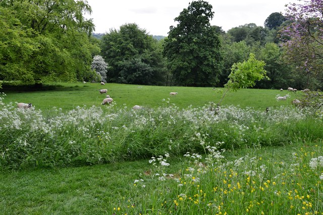
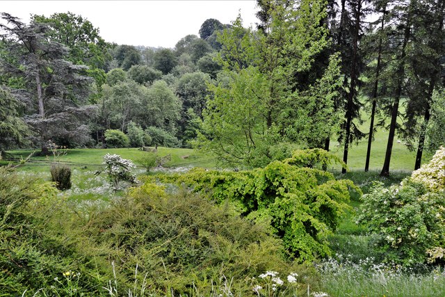
Sandy Flats Plantation is a picturesque woodland area located in Gloucestershire, England. Situated in the heart of the county, this plantation covers a vast area of approximately 500 acres. The plantation is renowned for its dense forest and diverse range of tree species, making it a popular destination for nature enthusiasts and outdoor lovers.

The woodland is predominantly composed of native British trees, including oak, beech, and birch. These trees create a serene and tranquil atmosphere, providing a peaceful retreat from the hustle and bustle of everyday life. The forest floor is adorned with a carpet of wildflowers during spring and summer, adding bursts of vibrant colors to the landscape.

Sandy Flats Plantation is not only a haven for flora but also a sanctuary for wildlife. The woodland is home to various animal species, including deer, foxes, and a wide variety of bird species. Birdwatchers will delight in the opportunity to spot rare and migratory birds that frequent the area.

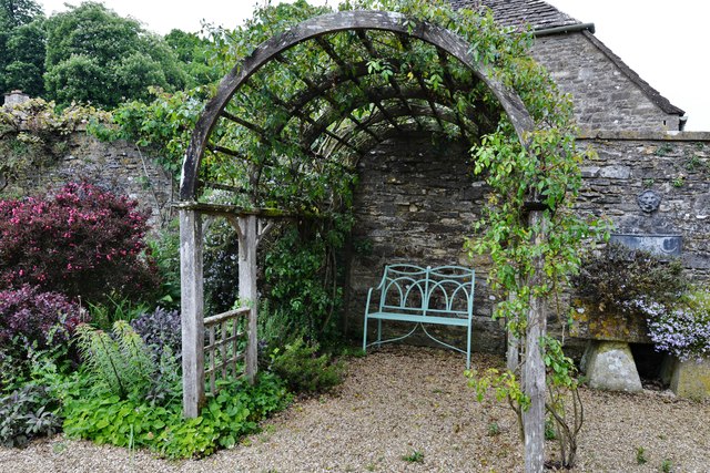
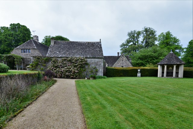
The plantation offers numerous walking trails, allowing visitors to explore the woodland at their own pace. These well-maintained paths wind through the forest, leading to enchanting clearings and beautiful viewpoints. The plantation also features picnic areas and benches, providing visitors with the opportunity to relax and immerse themselves in the natural surroundings.

Sandy Flats Plantation is open to the public throughout the year, with free admission. It offers a perfect escape for those seeking tranquility and a chance to connect with nature in the heart of Gloucestershire's woodlands.

If you have any feedback on the listing, please let us know in the comments section below.

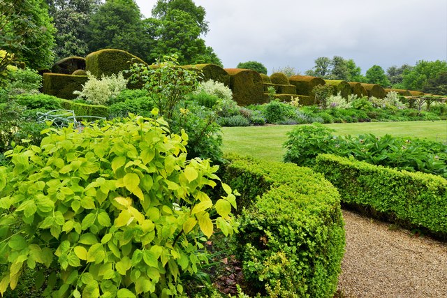
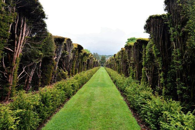
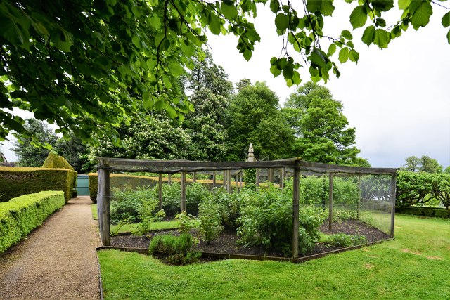
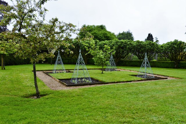
Sandy Flats Plantation Images

Images are sourced within 2km of 51.772729/-2.086272 or Grid Reference SO9408. Thanks to Geograph Open Source API. All images are credited.

Stone Stile, Caudle Green Due South of the village green at the junction of Gloucestershire footpaths MMN23 & BBR25 in woodland. This point is also on the boundaries of: county constituency, civil parishes of Miserden and Brimsfield, and the county district. This is the view looking NE, the view SW is <a href="https://www.geograph.org.uk/photo/7104970">SO9410 : Stone Stile, Caudle Green</a>.
Stone Stile, Caudle Green
Due South of the village green at the junction of Gloucestershire footpaths MMN23 & BBR25 in woodland. This point is also on the boundaries of: county constituency, civil parishes of Miserden and Brimsfield, and the county district. This is the view looking NE, the view SW is SO9410 : Stone Stile, Caudle Green.
Stone Stile, Caudle Green Due South of the village green at the junction of Gloucestershire footpaths MMN23 & BBR25 in woodland. This point is also on the boundaries of: county constituency, civil parishes of Miserden and Brimsfield, and the county district. This is the view looking SW, the view NE is <a href="https://www.geograph.org.uk/photo/7104969">SO9410 : Stone Stile, Caudle Green</a>.
Stone Stile, Caudle Green
Due South of the village green at the junction of Gloucestershire footpaths MMN23 & BBR25 in woodland. This point is also on the boundaries of: county constituency, civil parishes of Miserden and Brimsfield, and the county district. This is the view looking SW, the view NE is SO9410 : Stone Stile, Caudle Green.
The Garden at Miserden: Garden requisites defying gravity on the tearoom wall
The Garden at Miserden: Entrance to the walled garden
The Garden at Miserden: Mixed borders
The Garden at Miserden: Mixed borders and Edwin Lutyens part designed topiary beyond
The Garden at Miserden: The topiary, partly designed by Edwin Lutyens
The Garden at Miserden: Soft fruit cage and fruit trees
The Garden at Miserden: Fruit trees and vegetable pyramids
The Garden at Miserden: A cool, shady bower
The Garden at Miserden: The octagonal Millennium summerhouse
The Garden at Miserden: The octagonal Millennium summerhouse and fountain
The Garden at Miserden: The c17th Manor House 1
The Garden at Miserden: The c17th Manor House 2
The Garden at Miserden: Sculpture on the terrace
Miserden Park
Miserden Park
Miserden Park: The Arboretum
The Garden at Miserden: The well with its medieval-looking surround
Show me another place!

Sandy Flats Plantation is located at Grid Ref: SO9408 (Lat: 51.772729, Lng: -2.086272)

Administrative County: Gloucestershire

District: Stroud

Police Authority: Gloucestershire

What 3 Words

///workforce.culling.slack. Near Chalford, Gloucestershire

Related Wikis

Miserden War Memorial

Miserden War Memorial is a First World War memorial in the village of Miserden, near Stroud, in Gloucestershire, south-western England. The memorial, designed...

Miserden Castle

Miserden Castle was a castle near the village of Miserden in Gloucestershire, England. The castle is a large motte and bailey Norman castle, built before...

Miserden

Miserden is a village and civil parish in Stroud District, Gloucestershire, England, 4 miles north east of Stroud. The parish includes Whiteway Colony...

Edgeworth, Gloucestershire

Edgeworth is a small village and civil parish in the English county of Gloucestershire. It is located east of Stroud, west of Cirencester and south of...

Church of St Mary, Edgeworth

The Anglican Church of St Mary at Edgeworth in the Cotswold District of Gloucestershire, England was built in 11th century. It is a grade I listed building...

Edgeworth Manor

Edgeworth Manor is a Grade II* listed country house in Edgeworth, Gloucestershire, England. It was mentioned in the Domesday Book, when it was held by...

Winstone

Winstone is a village and civil parish in the English county of Gloucestershire. The population taken at the 2011 census was 270.Winstone forms part of...

Church of St Bartholomew, Winstone

The Anglican Church of St Bartholomew at Winstone in the Cotswold District of Gloucestershire, England was built in the 11th century. It is a grade I listed...

Nearby Amenities

Located within 500m of 51.772729,-2.086272
Bus Stop
Sudgrove Turn
Bus: yes
Naptan AtcoCode: 1600GLS823
Naptan Bearing: SE
Naptan CommonName: Sudgrove Turn
Naptan Indicator: Opp
Naptan NaptanCode: glodpwag
Naptan Street: Edgeworth Rd
Naptan Verified: no
Public Transport: platform
Source: naptan_import
Lat/Long: 51.7714497/-2.091217
Bus Stop
Sudgrove Turn
Bus: yes
Naptan AtcoCode: 1600GLS824
Naptan Bearing: NW
Naptan CommonName: Sudgrove Turn
Naptan NaptanCode: glodptwt
Naptan Street: Edgeworth Rd
Naptan Verified: no
Public Transport: platform
Source: naptan_import
Lat/Long: 51.771367/-2.0913046
Power: pole
Lat/Long: 51.7721704/-2.0894061
Power: pole
Lat/Long: 51.7718442/-2.0878625
Power: pole
Lat/Long: 51.7724953/-2.0909327
Power: pole
Lat/Long: 51.7728309/-2.0925268
Power: pole
Lat/Long: 51.7714227/-2.0804689
Power: pole
Lat/Long: 51.7746723/-2.0896393
Power: pole
Lat/Long: 51.7760398/-2.0904949
Power: pole
Lat/Long: 51.7754266/-2.0901342
Power: pole
Lat/Long: 51.7738938/-2.0891761
Power: pole
Lat/Long: 51.7731598/-2.0887091
Power: pole
Lat/Long: 51.7724951/-2.0882888
Natural: spring
Lat/Long: 51.7715811/-2.0822054
Power: pole
Lat/Long: 51.7711237/-2.0877106
Power: pole
Lat/Long: 51.770422/-2.087538
Power: pole
Lat/Long: 51.769728/-2.0873901
Power: pole
Lat/Long: 51.7691675/-2.0871375
Pillow mound
Archaeological Site: tumulus
Historic: archaeological_site
Lat/Long: 51.7760985/-2.0846909
The data included in this document is from www.openstreetmap.org. The data is made available under ODbL.

Have you been to Sandy Flats Plantation?

Leave your review of Sandy Flats Plantation below (or comments, questions and feedback).