Duncans Close Wood
Wood, Forest in Northumberland
England
Duncans Close Wood
Duncans Close Wood is a picturesque woodland located in the county of Northumberland, England. Situated in the northeast of the country, Northumberland is known for its stunning landscapes and natural beauty, and Duncan's Close Wood is no exception.
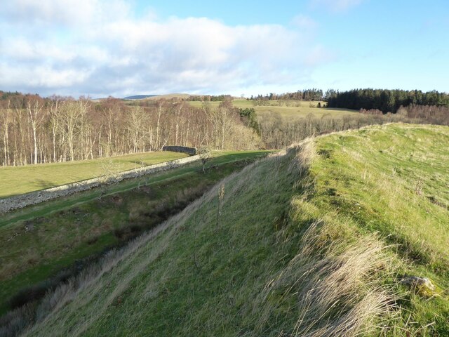
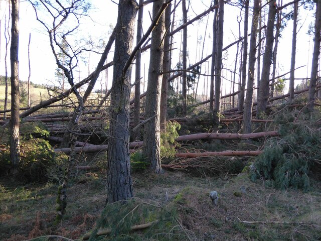
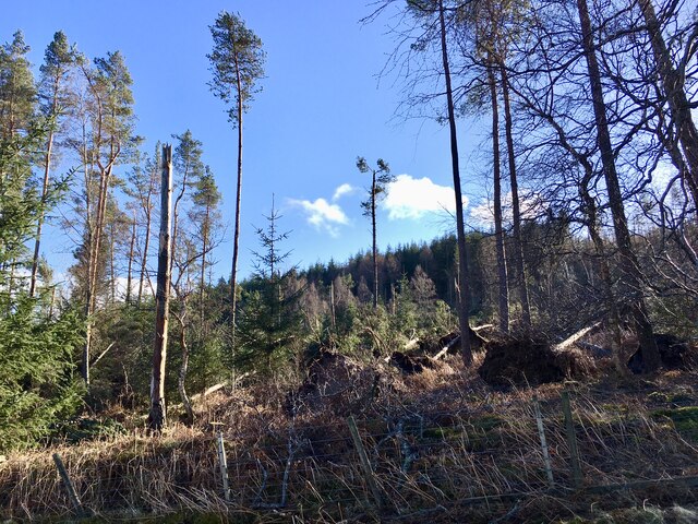
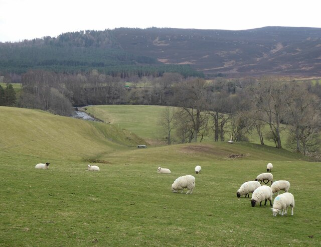
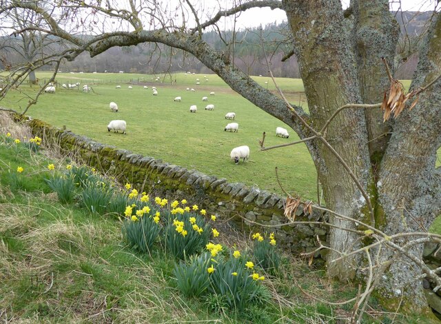
Covering an area of approximately 100 acres, the wood is predominantly composed of native broadleaf trees such as oak, beech, and birch. These trees create a dense canopy, providing a habitat for a variety of wildlife including birds, squirrels, and deer. The wood is also home to a diverse range of plant species, including bluebells, wild garlic, and ferns, which flourish in the damp and shaded environment.
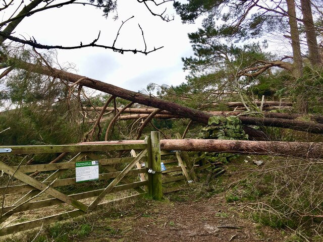
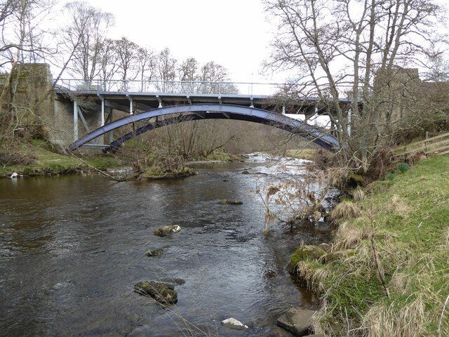
Duncans Close Wood is a popular destination for nature lovers and outdoor enthusiasts. The wood offers a network of well-maintained footpaths, allowing visitors to explore the area and discover its natural wonders. A small stream meanders through the wood, adding to its charm and providing a tranquil atmosphere.
The wood is particularly beautiful during the spring months when the bluebells carpet the forest floor, creating a stunning display of vibrant colors. It is also a great spot for birdwatching, with a variety of species to be spotted throughout the year.
Duncans Close Wood is easily accessible, with a car park located nearby. The wood is open to the public all year round, and visitors are encouraged to respect the natural environment and take care not to disturb the wildlife.
If you have any feedback on the listing, please let us know in the comments section below.
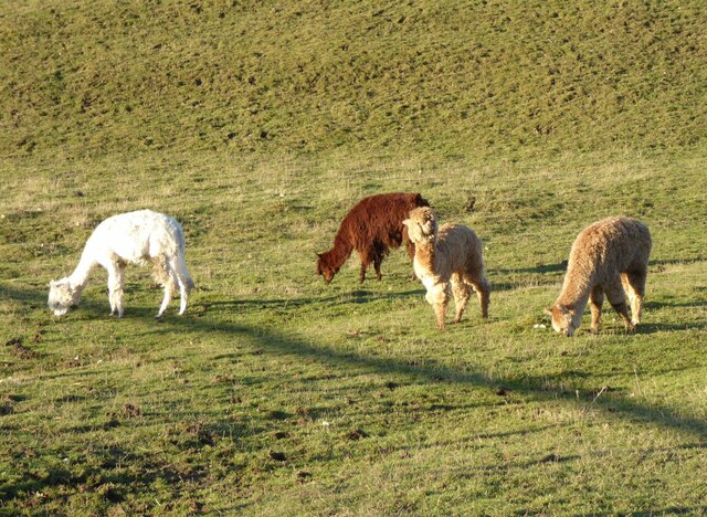
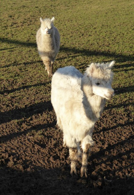
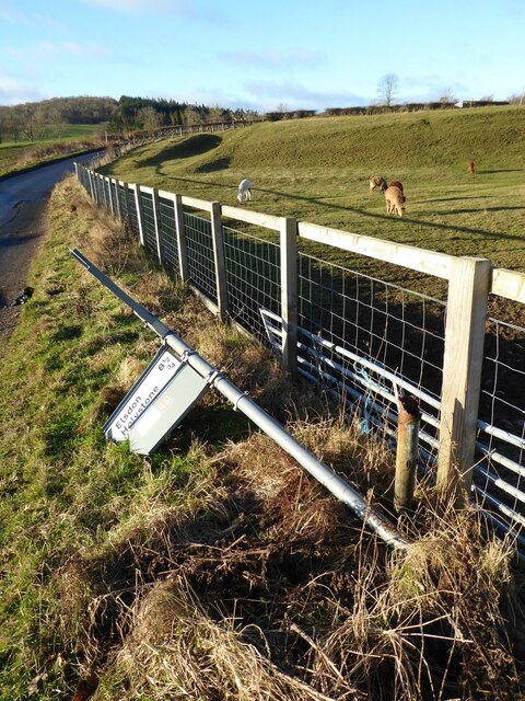
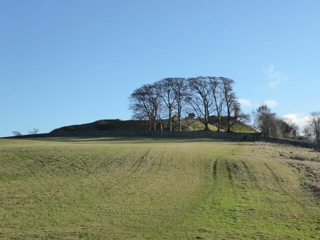
Duncans Close Wood Images
Images are sourced within 2km of 55.333178/-2.1002881 or Grid Reference NT9304. Thanks to Geograph Open Source API. All images are credited.


Duncans Close Wood is located at Grid Ref: NT9304 (Lat: 55.333178, Lng: -2.1002881)
Unitary Authority: Northumberland
Police Authority: Northumbria
What 3 Words
///livid.agree.homecare. Near Otterburn, Northumberland
Nearby Locations
Related Wikis

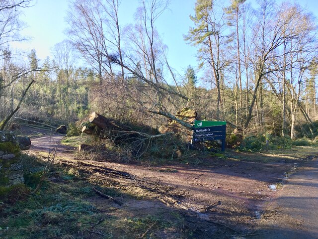
Harbottle
Harbottle is a village and civil parish in Northumberland, England about 10 miles (16 km) south-east of the Scottish border, in the southeastern part of...

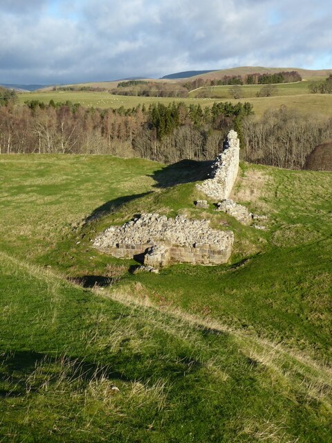
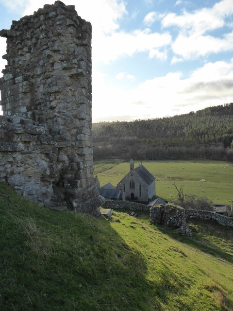
Harbottle Castle
Harbottle Castle is a ruined medieval castle situated at the west end of the village of Harbottle, Northumberland, England, 9 miles (14 km) west-north...

Sharperton
Sharperton is a small settlement and former civil parish, now in the parish of Harbottle, in Northumberland, England. Sharperton is the site of a deserted...

River Alwin
The River Alwin is a short, steep upland river that drains the Kidland Forest on the southern flanks of the Cheviot Hills, in the Northumberland National...

Holystone, Northumberland
Holystone is a small village and former civil parish, now in the parish of Harbottle, in Northumberland, England. It lies on the edge of (and just within...

Alwinton
Alwinton (previously named "Allenton" and sometimes still referred to as this) is a village and former parish in Northumberland, England. Alwinton is named...

Barrow Meadow
Barrow Meadow is a Site of Special Scientific Interest (SSSI) in north Northumberland, England. The site is a species-rich hay meadow of a sort now rare...

Clennell Hall
Clennell Hall is an historic manor house, now operated as a country hotel, situated at Clennell, near Alwinton, Northumberland, England. It is a Grade...
Nearby Amenities
Located within 500m of 55.333178,-2.1002881Have you been to Duncans Close Wood?
Leave your review of Duncans Close Wood below (or comments, questions and feedback).