Furze Wood

Wood, Forest in Gloucestershire Stroud

England

Furze Wood

Footpath near Whiteway
Footpath near Whiteway Credit: P Gaskell

Furze Wood is a dense forest located in Gloucestershire, England. Spread across an area of approximately 100 acres, it is known for its rich biodiversity and captivating natural beauty. The wood is situated in close proximity to the village of Furze, which adds to its accessibility and popularity among residents and tourists alike.

The wood is predominantly composed of various deciduous trees, including oak, beech, and birch, which form a lush and vibrant canopy during the warmer months. This dense foliage not only provides an enchanting sight but also offers a serene and tranquil atmosphere, making it a perfect retreat for nature enthusiasts and hikers.

The forest floor is adorned with a picturesque carpet of ferns, wildflowers, and moss, creating a visually stunning landscape. Numerous walking and cycling trails meander through the wood, allowing visitors to explore its hidden treasures at their own pace. These trails are well-maintained and signposted, ensuring a safe and enjoyable experience for all.

Furze Wood is home to a diverse range of wildlife, including various species of birds, mammals, and insects. Birdwatchers can spot woodpeckers, owls, and songbirds, among others, while nature lovers may encounter foxes, badgers, and deer during their visit. The wood also houses a small pond, which attracts amphibians and water-dwelling creatures.

Aside from its natural wonders, Furze Wood offers several amenities for visitors. There are picnic areas and benches scattered throughout the wood, allowing individuals to relax and enjoy the peaceful ambiance. Car parks and restroom facilities are conveniently located nearby, ensuring convenience for those spending extended periods exploring the wood.

Overall, Furze Wood in Gloucestershire showcases the beauty of the natural world and provides an idyllic escape for those seeking solace in nature's embrace.

If you have any feedback on the listing, please let us know in the comments section below.
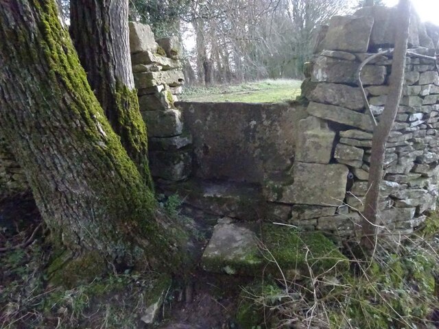
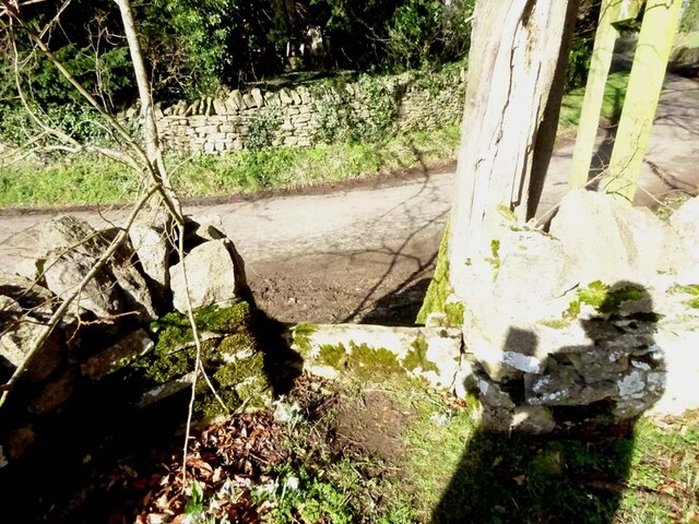
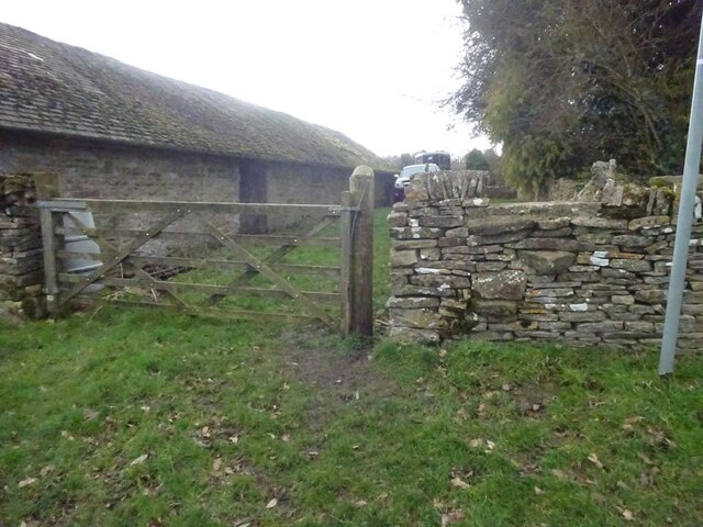
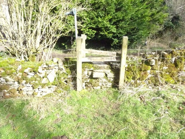
Furze Wood Images

Images are sourced within 2km of 51.782291/-2.0923496 or Grid Reference SO9309. Thanks to Geograph Open Source API. All images are credited.

Footpath near Whiteway
Stone Stile, Caudle Green Looking SW towards the village.
Stone Stile, Caudle Green
Looking SW towards the village.
Stone Stile, Caudle Green A step stile on the Northern side of the road approaching the village. On Gloucestershire footpath BBR28. The view from the road side is <a href="https://www.geograph.org.uk/photo/7061298">SO9410 : Stone Stile, Caudle Green</a>.
Stone Stile, Caudle Green
A step stile on the Northern side of the road approaching the village. On Gloucestershire footpath BBR28. The view from the road side is SO9410 : Stone Stile, Caudle Green.
Stone Stile, Caudle Green A step stile on the Northern side of the road approaching the village. On Gloucestershire footpath BBR28. The view from the appreciable drop on the other side is <a href="https://www.geograph.org.uk/photo/7061296">SO9410 : Stone Stile, Caudle Green</a>.
Stone Stile, Caudle Green
A step stile on the Northern side of the road approaching the village. On Gloucestershire footpath BBR28. The view from the appreciable drop on the other side is SO9410 : Stone Stile, Caudle Green.
Stone Stile, Syde On Gloucestershire footpath BSY8 just South of the Manor House in Syde. This view is looking from the road, the view looking North is <a href="https://www.geograph.org.uk/photo/7104847">SO9410 : Stone Stile, Syde</a>.
Stone Stile, Syde
On Gloucestershire footpath BSY8 just South of the Manor House in Syde. This view is looking from the road, the view looking North is SO9410 : Stone Stile, Syde.
Stone Stile, Syde On Gloucestershire footpath BSY8 just South of the Manor House in Syde. This view is looking to the road, the view looking South is <a href="https://www.geograph.org.uk/photo/7104846">SO9410 : Stone Stile, Syde</a>.
Stone Stile, Syde
On Gloucestershire footpath BSY8 just South of the Manor House in Syde. This view is looking to the road, the view looking South is SO9410 : Stone Stile, Syde.
Stone Stile, Caudle Green Looking into a field at the junction of Gloucestershire footpaths MMN23 & BBR38 where the paths transition from woodland to a field sparsely populated with "meadow flowers". The soil in the field is heavily laden with stones. The view towards the woodland is <a href="https://www.geograph.org.uk/photo/7104960">SO9310 : Stone Stile, Caudle Green</a>.
Stone Stile, Caudle Green
Looking into a field at the junction of Gloucestershire footpaths MMN23 & BBR38 where the paths transition from woodland to a field sparsely populated with "meadow flowers". The soil in the field is heavily laden with stones. The view towards the woodland is SO9310 : Stone Stile, Caudle Green.
Stone Stile, Caudle Green Looking from a field at the junction of Gloucestershire footpaths MMN23 & BBR38 where the paths transition from woodland to a field sparsely populated with "meadow flowers". The soil in the field is heavily laden with stones. The view from the woodland is <a href="https://www.geograph.org.uk/photo/7104958">SO9310 : Stone Stile, Caudle Green</a>.
Stone Stile, Caudle Green
Looking from a field at the junction of Gloucestershire footpaths MMN23 & BBR38 where the paths transition from woodland to a field sparsely populated with "meadow flowers". The soil in the field is heavily laden with stones. The view from the woodland is SO9310 : Stone Stile, Caudle Green.
Stone Stile, Caudle Green Due South of the village green at the junction of Gloucestershire footpaths MMN23 & BBR25 in woodland. This point is also on the boundaries of: county constituency, civil parishes of Miserden and Brimsfield, and the county district. This is the view looking NE, the view SW is <a href="https://www.geograph.org.uk/photo/7104970">SO9410 : Stone Stile, Caudle Green</a>.
Stone Stile, Caudle Green
Due South of the village green at the junction of Gloucestershire footpaths MMN23 & BBR25 in woodland. This point is also on the boundaries of: county constituency, civil parishes of Miserden and Brimsfield, and the county district. This is the view looking NE, the view SW is SO9410 : Stone Stile, Caudle Green.
Stone Stile, Caudle Green Due South of the village green at the junction of Gloucestershire footpaths MMN23 & BBR25 in woodland. This point is also on the boundaries of: county constituency, civil parishes of Miserden and Brimsfield, and the county district. This is the view looking SW, the view NE is <a href="https://www.geograph.org.uk/photo/7104969">SO9410 : Stone Stile, Caudle Green</a>.
Stone Stile, Caudle Green
Due South of the village green at the junction of Gloucestershire footpaths MMN23 & BBR25 in woodland. This point is also on the boundaries of: county constituency, civil parishes of Miserden and Brimsfield, and the county district. This is the view looking SW, the view NE is SO9410 : Stone Stile, Caudle Green.
Stone Stile, Caudle Green From a small field into a grazing field at the SE corner of the garden walls of 'Calley House'. This is looking SW away from the village, the view towards the village is <a href="https://www.geograph.org.uk/photo/7104983">SO9410 : Stone Stile, Caudle Green</a>.
Stone Stile, Caudle Green
From a small field into a grazing field at the SE corner of the garden walls of 'Calley House'. This is looking SW away from the village, the view towards the village is SO9410 : Stone Stile, Caudle Green.
Stone Stile, Caudle Green From a small field in to a grazing field at the SE corner of the garden wals of 'Calley House'. This is looking NE towards the village, the view towards the larger field is <a href="https://www.geograph.org.uk/photo/7104981">SO9410 : Stone Stile, Caudle Green</a>.
Stone Stile, Caudle Green
From a small field in to a grazing field at the SE corner of the garden wals of 'Calley House'. This is looking NE towards the village, the view towards the larger field is SO9410 : Stone Stile, Caudle Green.
Stone Stile, Caudle Green A step Stile off the Southern side of the village green on Gloucestershire footpath BBR25. This is looking to the village green, the view from the green is <a href="https://www.geograph.org.uk/photo/7104992">SO9410 : Stone Stile, Caudle Green</a>.
Stone Stile, Caudle Green
A step Stile off the Southern side of the village green on Gloucestershire footpath BBR25. This is looking to the village green, the view from the green is SO9410 : Stone Stile, Caudle Green.
Stone Stile, Caudle Green A step Stile off the Southern side of the village green on Gloucestershire footpath BBR25. This is looking from the village green, the view toward the green is <a href="https://www.geograph.org.uk/photo/7104990">SO9410 : Stone Stile, Caudle Green</a>.
Stone Stile, Caudle Green
A step Stile off the Southern side of the village green on Gloucestershire footpath BBR25. This is looking from the village green, the view toward the green is SO9410 : Stone Stile, Caudle Green.
Stone Stile, Caudle Green A step stile. Looking out of the field on Gloucestershire footpath BBR28 to the road. The view from the road is <a href="https://www.geograph.org.uk/photo/7041359">SO9410 : Stone Stile, Caudle Green</a>.
Stone Stile, Caudle Green
A step stile. Looking out of the field on Gloucestershire footpath BBR28 to the road. The view from the road is SO9410 : Stone Stile, Caudle Green.
Small disused quarry south of Syde
Syde church Syde church is dedicated St Mary the Virgin and dates from the 12th century.  The church is Grade I listed, see: <span class="nowrap"><a title="https://historicengland.org.uk/listing/the-list/list-entry/1305201?section=official-list-entry" rel="nofollow ugc noopener" href="https://historicengland.org.uk/listing/the-list/list-entry/1305201?section=official-list-entry">Link</a><img style="margin-left:2px;" alt="External link" title="External link - shift click to open in new window" src="https://s1.geograph.org.uk/img/external.png" width="10" height="10"/></span>
Syde church
Syde church is dedicated St Mary the Virgin and dates from the 12th century. The church is Grade I listed, see: LinkExternal link
Valley between Syde and Caudle Green A footpath from Syde church to Caudle Green descends into this valley.
Valley between Syde and Caudle Green
A footpath from Syde church to Caudle Green descends into this valley.
Show me another place!

Furze Wood is located at Grid Ref: SO9309 (Lat: 51.782291, Lng: -2.0923496)

Administrative County: Gloucestershire

District: Stroud

Police Authority: Gloucestershire

What 3 Words

///sideburns.pixies.orchids. Near Painswick, Gloucestershire

Nearby Locations

Furze Wood Noel's Copse

Related Wikis

Miserden War Memorial

Miserden War Memorial is a First World War memorial in the village of Miserden, near Stroud, in Gloucestershire, south-western England. The memorial, designed...

Miserden

Miserden is a village and civil parish in Stroud District, Gloucestershire, England, 4 miles north east of Stroud. The parish includes Whiteway Colony...

Miserden Castle

Miserden Castle was a castle near the village of Miserden in Gloucestershire, England. The castle is a large motte and bailey Norman castle, built before...

Whiteway Colony

Whiteway Colony is a residential community in the Cotswolds in the parish of Miserden near Stroud, Gloucestershire, United Kingdom. The community was founded...

Syde

Syde, often in the past spelt Side, is a small village and civil parish in Gloucestershire, England. It lies in the Cotswolds, near the source of the River...

Church of St Mary the Virgin, Syde

The Anglican Church of St Mary the Virgin at Syde in the Cotswold District of Gloucestershire, England was built in the early 12th century. It is a grade...

Brimpsfield

Brimpsfield is a village in Gloucestershire, England. The village is recorded in Domesday Book as Brimesfelde. Brimpsfield Castle was built in the village...

The Camp, Gloucestershire

The Camp is a hamlet in the south of Gloucestershire, approximately 10 miles south of Cheltenham and 5 miles north-east of Stroud. It is in the parish...

Nearby Amenities

Located within 500m of 51.782291,-2.0923496
Pub
Carpenters Arms
Addr City: Miserden
Addr Country: GB
Addr Postcode: GL6 7JA
Fhrs Id: 154391
Lat/Long: 51.7783251/-2.0925406
Miserden
Description: Known as Greenhampstead until the late Middle Ages, Miserden overlooks the Stroud Frome valley at a height of 700ft
Place: village
Source: NPE+Wikipedia
Wikidata: Q6875330
Wikipedia: en:Miserden
Lat/Long: 51.7802041/-2.0943695
Archaeological Site: tumulus
Historic: archaeological_site
Source: NPE
Lat/Long: 51.7835848/-2.0858492
Bus Stop
Carpenters Arms
Bench: yes
Bin: no
Bus: yes
Lit: no
Naptan AtcoCode: 1600GL3300
Naptan Bearing: SW
Naptan CommonName: Carpenters Arms
Naptan NaptanCode: glodptpa
Naptan Street: Miserden Park
Naptan Verified: no
Public Transport: platform
Shelter: yes
Source: naptan_import
Tactile Paving: no
Lat/Long: 51.7783079/-2.0922605
Bus Stop
Miserden Post Office
Bench: no
Bin: no
Bus: yes
Covered: no
Customary Stop: yes
Naptan AtcoCode: 1600GLS1154
Naptan Bearing: W
Naptan BusStopType: CUS
Naptan CommonName: Miserden Post Office
Naptan NaptanCode: glogmatw
Naptan Street: Miserden Park
Naptan Verified: no
Passenger Information Display: no
Physically Present: no
Public Transport: platform
Shelter: no
Source: naptan_import
Lat/Long: 51.7789066/-2.0964511
Barrier: kissing_gate
Source: survey
Lat/Long: 51.7789698/-2.0904763
Natural: spring
Source: OS OpenData StreetView
Lat/Long: 51.7806858/-2.0906429
Entrance: yes
Lat/Long: 51.7790134/-2.0939044
Barrier: stile
Lat/Long: 51.7812015/-2.0872787
Defibrillator
Booth: K6
Covered: booth
Defibrillator Location: inside disused red phone booth in Miserden
Disused Amenity: telephone
Emergency: defibrillator
Indoor: no
Listed Status: Grade II
Man Made: telephone_box
Operator: Community Heartbeat
Ref: CHT-14-1406
Lat/Long: 51.7781613/-2.0923883
Miserden War Memorial
Historic: memorial
Inscription: To the memory of our glorious dead 1914-1919
Material: stone
Memorial: war_memorial
Source: survey
Wikidata: Q26383553
Wikipedia: en:Miserden War Memorial
Lat/Long: 51.7785946/-2.0938699
Power: pole
Lat/Long: 51.7843685/-2.0982587
Power: pole
Lat/Long: 51.7842674/-2.0952455
Power: pole
Lat/Long: 51.7842125/-2.0939986
Power: pole
Lat/Long: 51.7841605/-2.0925649
Power: pole
Lat/Long: 51.7840998/-2.0911032
Power: pole
Lat/Long: 51.7838311/-2.0888056
Power: pole
Lat/Long: 51.7832967/-2.0865453
Power: pole
Lat/Long: 51.7843196/-2.0968006
Waste Basket
Lat/Long: 51.7789281/-2.090561
The data included in this document is from www.openstreetmap.org. The data is made available under ODbL.

Have you been to Furze Wood?

Leave your review of Furze Wood below (or comments, questions and feedback).