East Wood
Wood, Forest in Northumberland
England
East Wood
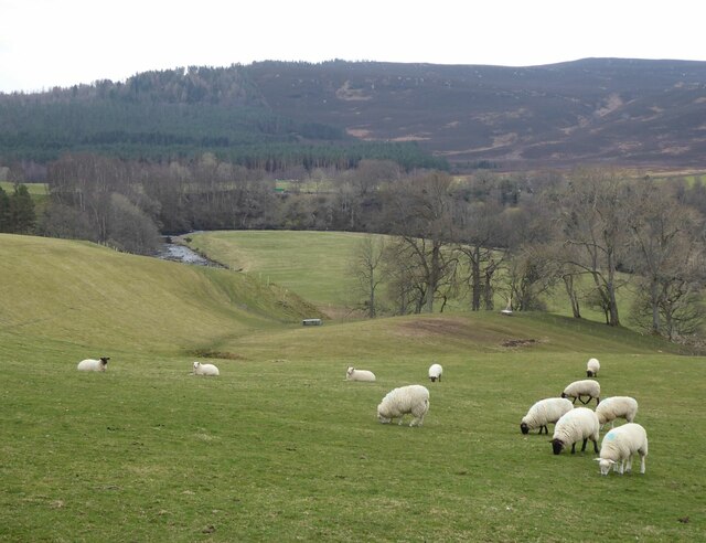
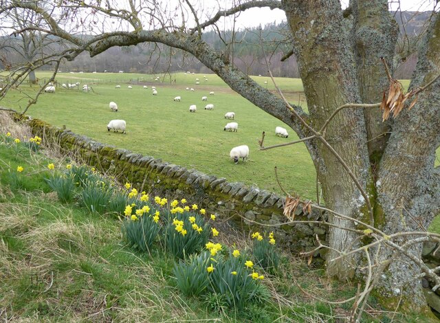
East Wood is a small village located in the county of Northumberland, England. Situated in the northeastern part of the country, it is nestled within a picturesque forest area known for its natural beauty and tranquility. The village is surrounded by lush greenery, towering trees, and an abundance of wildlife, making it an ideal destination for nature enthusiasts and those seeking a peaceful retreat.
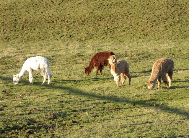
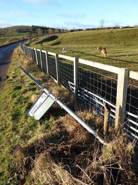
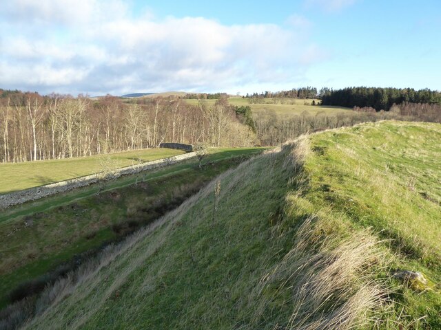
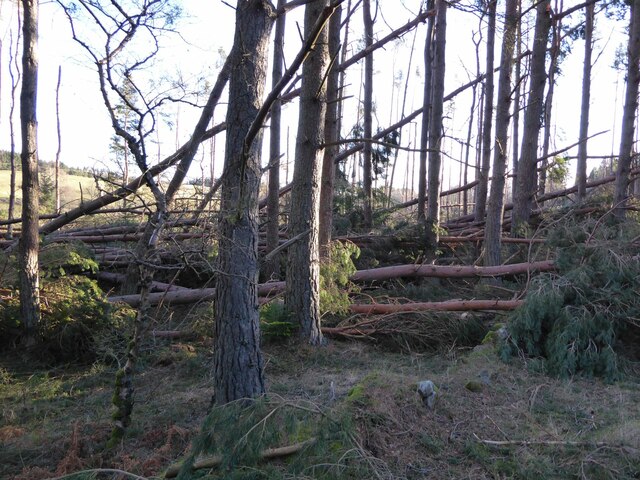
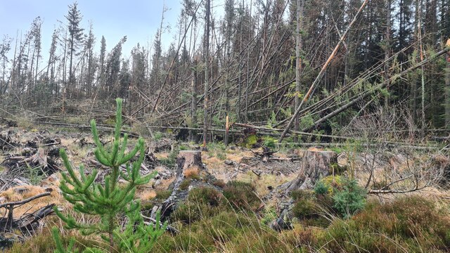
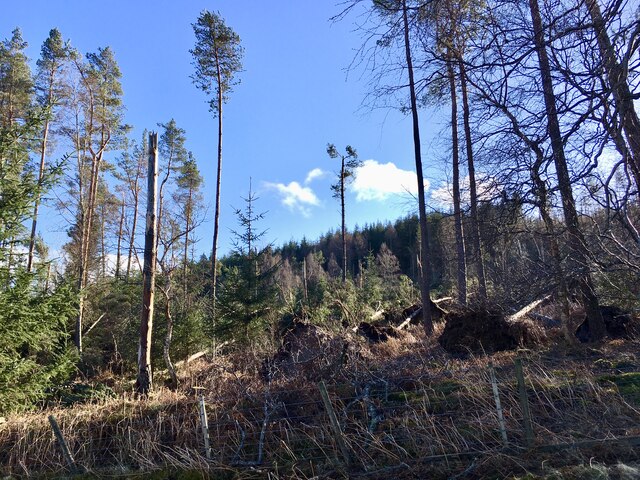
The woodlands of East Wood are well-preserved and offer a diverse range of flora and fauna. The forest is home to various species of birds, mammals, and insects, making it a haven for birdwatchers and wildlife photographers. Visitors can explore the numerous walking trails that wind through the woods, providing an opportunity to immerse themselves in the serenity of the surroundings.
Despite its remote location, East Wood is not far from the town of Alnwick, which offers amenities such as shops, restaurants, and accommodation options for those looking to stay nearby. The village itself has a small community, with a handful of houses and a local pub that serves as a meeting point for residents and visitors alike.
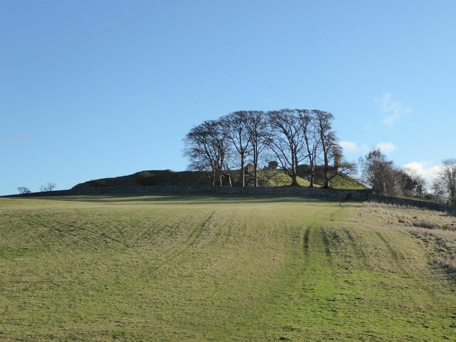
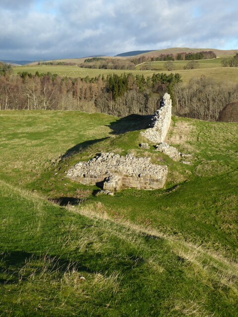
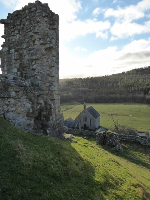
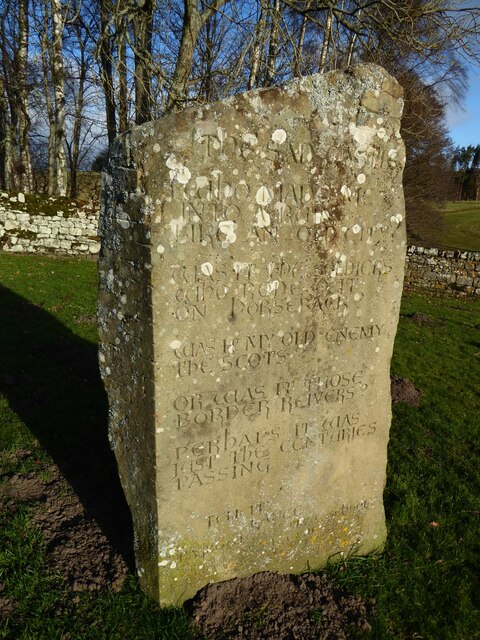
The area is also rich in historical significance, with several ancient ruins and archaeological sites scattered throughout the forest. These remnants of the past provide a glimpse into the region's rich history and offer a fascinating insight into the lives of those who once inhabited the area.
Overall, East Wood, Northumberland, is a hidden gem for nature lovers, offering a peaceful escape from the hustle and bustle of city life. With its stunning woodlands, abundant wildlife, and historical charm, it is a place that truly captures the essence of Northumberland's natural beauty.
If you have any feedback on the listing, please let us know in the comments section below.
East Wood Images
Images are sourced within 2km of 55.33138/-2.1006618 or Grid Reference NT9304. Thanks to Geograph Open Source API. All images are credited.


East Wood is located at Grid Ref: NT9304 (Lat: 55.33138, Lng: -2.1006618)
Unitary Authority: Northumberland
Police Authority: Northumbria
What 3 Words
///finer.reset.edgy. Near Otterburn, Northumberland
Nearby Locations
Related Wikis

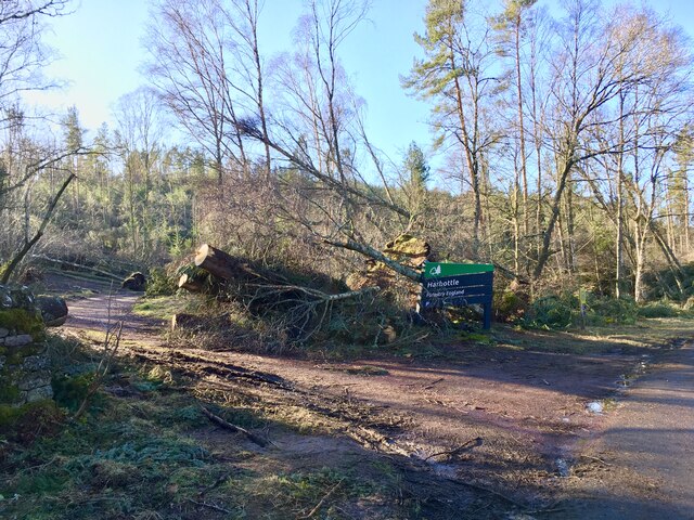
Harbottle
Harbottle is a village and civil parish in Northumberland, England about 10 miles (16 km) south-east of the Scottish border, in the southeastern part of...

Harbottle Castle
Harbottle Castle is a ruined medieval castle situated at the west end of the village of Harbottle, Northumberland, England, 9 miles (14 km) west-north...

Sharperton
Sharperton is a small settlement and former civil parish, now in the parish of Harbottle, in Northumberland, England. Sharperton is the site of a deserted...

River Alwin
The River Alwin is a short, steep upland river that drains the Kidland Forest on the southern flanks of the Cheviot Hills, in the Northumberland National...
Have you been to East Wood?
Leave your review of East Wood below (or comments, questions and feedback).