Cackle Rash Wood

Wood, Forest in Yorkshire Craven

England

Cackle Rash Wood

Benchmark on boulder in field on SW side of road above Cowside Beck Ordnance Survey pivot benchmark levelled at  336.691m above Newlyn Datum verified 1954
Benchmark on boulder in field on SW side of road above Cowside Beck Credit: Roger Templeman

Cackle Rash Wood is a picturesque woodland area located in Yorkshire, England. Nestled in the scenic countryside, this forest offers visitors a tranquil and immersive experience in nature. Covering an area of approximately 100 acres, Cackle Rash Wood is home to a diverse range of flora and fauna, making it a haven for wildlife enthusiasts and nature lovers alike.

The wood is characterized by its dense canopy of ancient oak and beech trees, which provide shade and shelter for a variety of plant species that thrive beneath. The forest floor is adorned with an array of wildflowers, including bluebells, primroses, and wood anemones, creating a vibrant and colorful display during the spring and summer months.

Visitors to Cackle Rash Wood can explore its numerous walking trails that wind through the forest, offering glimpses of its natural beauty at every turn. The trails vary in difficulty, catering to both casual strollers and more adventurous hikers. Along the way, there are several designated picnic areas where visitors can take a break and enjoy a packed lunch amidst the peaceful surroundings.

The woodland is also home to a rich and diverse wildlife population. Birdwatchers can spot various species of birds, including woodpeckers, owls, and songbirds. Small mammals such as squirrels, rabbits, and hedgehogs can often be seen scurrying through the undergrowth, while deer occasionally graze in the more secluded parts of the wood.

Cackle Rash Wood is a true gem of Yorkshire, offering visitors a chance to escape the hustle and bustle of daily life and immerse themselves in the beauty of nature. With its breathtaking scenery and abundant wildlife, it is a must-visit destination for anyone seeking a peaceful retreat in the heart of the countryside.

If you have any feedback on the listing, please let us know in the comments section below.

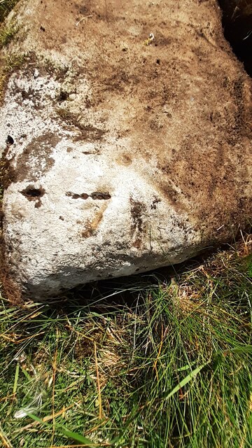
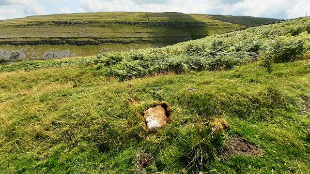
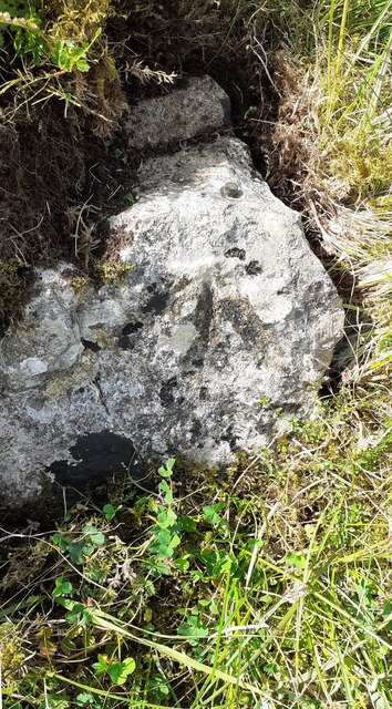
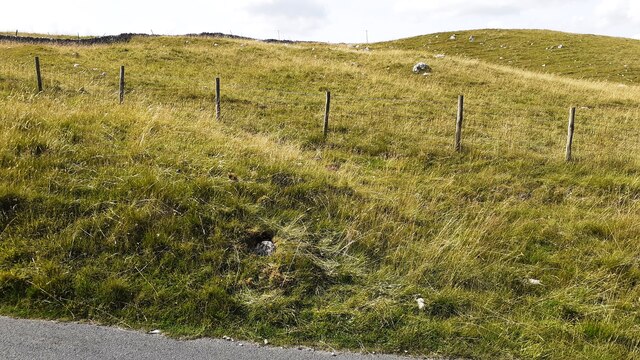
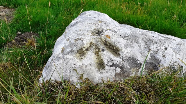
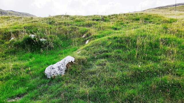
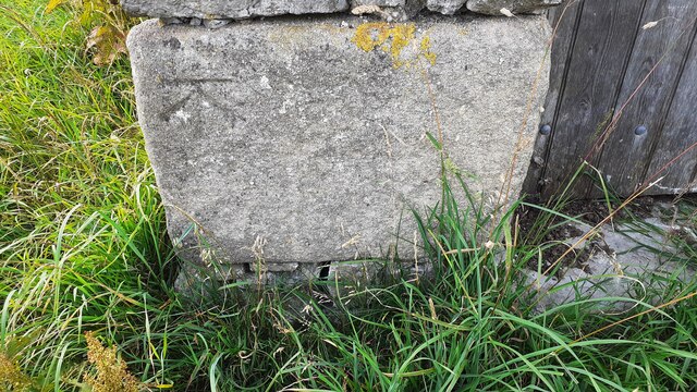
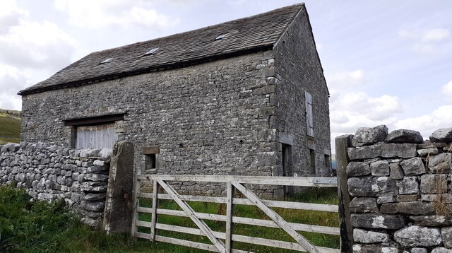
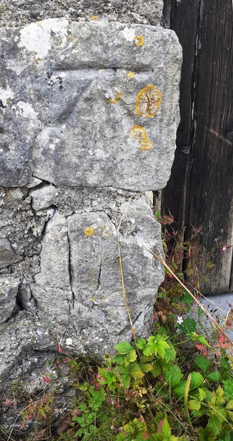
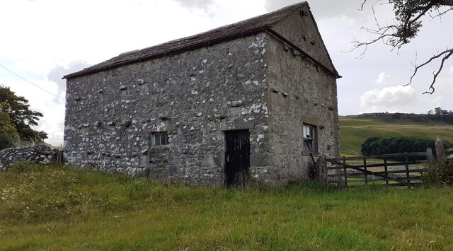
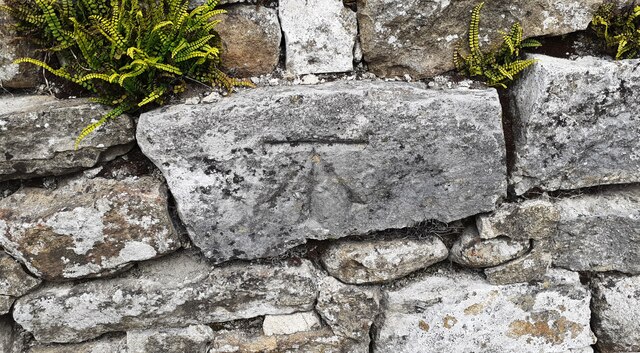
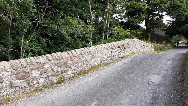
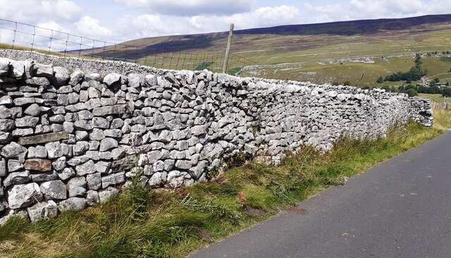
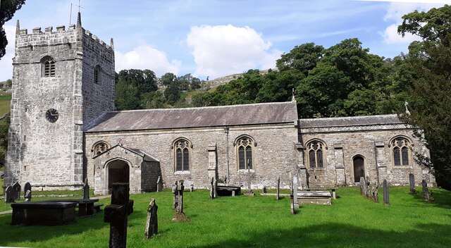
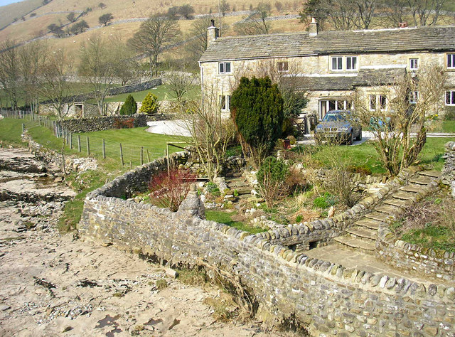
Cackle Rash Wood Images

Images are sourced within 2km of 54.145122/-2.0977555 or Grid Reference SD9372. Thanks to Geograph Open Source API. All images are credited.

Benchmark on boulder in field on SW side of road above Cowside Beck Ordnance Survey pivot benchmark levelled at  336.691m above Newlyn Datum verified 1954
Benchmark on boulder in field on SW side of road above Cowside Beck
Ordnance Survey pivot benchmark levelled at 336.691m above Newlyn Datum verified 1954
View from road SW of Arncliffe towards Cowside Beck valley There is an Ordnance Survey benchmark <a href="https://www.geograph.org.uk/photo/6924198">SD9271 : Benchmark on boulder in field on SW side of road above Cowside Beck</a> on the boulder in the middle foreground
View from road SW of Arncliffe towards Cowside Beck valley
There is an Ordnance Survey benchmark SD9271 : Benchmark on boulder in field on SW side of road above Cowside Beck on the boulder in the middle foreground
Benchmark on rock in NW verge of moorland road west of Brootes Barn Ordnance Survey rivet benchmark levelled at 285.461m above Newlyn Datum verified 1954
Benchmark on rock in NW verge of moorland road west of Brootes Barn
Ordnance Survey rivet benchmark levelled at 285.461m above Newlyn Datum verified 1954
Moorland NW of moorland road west of Brootes Barn There is an Ordnance Survey benchmark <a href="https://www.geograph.org.uk/photo/6924774">SD9271 : Benchmark on rock in NW verge of moorland road west of Brootes Barn</a> on the rock in the verge just left of centre of the image
Moorland NW of moorland road west of Brootes Barn
There is an Ordnance Survey benchmark SD9271 : Benchmark on rock in NW verge of moorland road west of Brootes Barn on the rock in the verge just left of centre of the image
Benchmark on rock in field off south side of road west of Brootes Barn Ordnance Survey pivot benchmark levelled at 268.108m above Newlyn Datum verified 1954
Benchmark on rock in field off south side of road west of Brootes Barn
Ordnance Survey pivot benchmark levelled at 268.108m above Newlyn Datum verified 1954
Grass moorland on south side of road west of Brootes Barn There is an Ordnance Survey benchmark <a href="https://www.geograph.org.uk/photo/6924811">SD9271 : Benchmark on rock in field off south side of road west of Brootes Barn</a> on the large rock in the foreground, left of centre
Grass moorland on south side of road west of Brootes Barn
There is an Ordnance Survey benchmark SD9271 : Benchmark on rock in field off south side of road west of Brootes Barn on the large rock in the foreground, left of centre
Benchmark on Brootes Barn Ordnance Survey cut mark benchmark levelled at 252.399m above Newlyn Datum verified 1954
Benchmark on Brootes Barn
Ordnance Survey cut mark benchmark levelled at 252.399m above Newlyn Datum verified 1954
Brootes Barn There is an Ordnance Survey benchmark <a href="https://www.geograph.org.uk/photo/6924875">SD9271 : Benchmark on Brootes Barn</a> on the right hand side of the barn at its front corner
Brootes Barn
There is an Ordnance Survey benchmark SD9271 : Benchmark on Brootes Barn on the right hand side of the barn at its front corner
Benchmark on Studdleber Barn, NW side Brootes Lane
Studdleber Barn, Brootes Lane There is an Ordnance Survey benchmark <a href="https://www.geograph.org.uk/photo/6924892">SD9271 : Benchmark on Studdleber Barn, NW side Brootes Lane</a> on the front of the barn on the left hand side of the wooden door
Studdleber Barn, Brootes Lane
There is an Ordnance Survey benchmark SD9271 : Benchmark on Studdleber Barn, NW side Brootes Lane on the front of the barn on the left hand side of the wooden door
Benchmark on NE parapet of bridge over Cowside Beck Ordnance Survey cut mark benchmark described on the Bench Mark Database at <span class="nowrap"><a title="www.bench-marks.org.uk/bm45300" rel="nofollow ugc noopener" href="http://www.bench-marks.org.uk/bm45300">Link</a><img style="margin-left:2px;" alt="External link" title="External link - shift click to open in new window" src="https://s1.geograph.org.uk/img/external.png" width="10" height="10"/></span>
Benchmark on NE parapet of bridge over Cowside Beck
Ordnance Survey cut mark benchmark described on the Bench Mark Database at LinkExternal link
NE parapet of bridge over Cowside Beck NW of centre of Arncliffe There is an Ordnance Survey benchmark <a href="https://www.geograph.org.uk/photo/6924903">SD9371 : Benchmark on NE parapet of bridge over Cowside Beck</a> on a stone in the parapet about 2m on the nearside of its apex
NE parapet of bridge over Cowside Beck NW of centre of Arncliffe
There is an Ordnance Survey benchmark SD9371 : Benchmark on NE parapet of bridge over Cowside Beck on a stone in the parapet about 2m on the nearside of its apex
Moorland road SW of Brootes Barn Ordnance Survey documents indicate that a benchmark levelled at 321.403m above Newlyn Datum was verified in 1954 on a boulder on the side of the road here
Moorland road SW of Brootes Barn
Ordnance Survey documents indicate that a benchmark levelled at 321.403m above Newlyn Datum was verified in 1954 on a boulder on the side of the road here
View over Cowside Beck
St Oswald's Church
St Oswald's Church
Benchmark on building near Amerdale House Hotel Ordnance Survey cut mark benchmark described on the Bench Mark Database at <span class="nowrap"><a title="www.bench-marks.org.uk/bm100708" rel="nofollow ugc noopener" href="http://www.bench-marks.org.uk/bm100708">Link</a><img style="margin-left:2px;" alt="External link" title="External link - shift click to open in new window" src="https://s1.geograph.org.uk/img/external.png" width="10" height="10"/></span>
Benchmark on building near Amerdale House Hotel
Ordnance Survey cut mark benchmark described on the Bench Mark Database at LinkExternal link
Building next to Amerdale House Hotel There is an Ordnance Survey benchmark <a href="https://www.geograph.org.uk/photo/6925415">SD9371 : Benchmark on building near Amerdale House Hotel</a> on the far corner, road face, of the building
Building next to Amerdale House Hotel
There is an Ordnance Survey benchmark SD9371 : Benchmark on building near Amerdale House Hotel on the far corner, road face, of the building
Benchmark on tower of St Oswald's Church Ordnance Survey cut mark benchmark described on the Bench Mark Database at <span class="nowrap"><a title="www.bench-marks.org.uk/bm100707" rel="nofollow ugc noopener" href="http://www.bench-marks.org.uk/bm100707">Link</a><img style="margin-left:2px;" alt="External link" title="External link - shift click to open in new window" src="https://s1.geograph.org.uk/img/external.png" width="10" height="10"/></span>
Benchmark on tower of St Oswald's Church
Ordnance Survey cut mark benchmark described on the Bench Mark Database at LinkExternal link
Show me another place!

Cackle Rash Wood is located at Grid Ref: SD9372 (Lat: 54.145122, Lng: -2.0977555)

Division: West Riding

Administrative County: North Yorkshire

District: Craven

Police Authority: North Yorkshire

What 3 Words

///conveys.backpacks.closes. Near Grassington, North Yorkshire

Related Wikis

Arncliffe, North Yorkshire

Arncliffe is a small village and civil parish in Littondale, one of the Yorkshire Dales in England. Littondale is a small valley beside Upper Wharfedale...

Hawkswick

Hawkswick is a hamlet and civil parish in the Craven district of North Yorkshire, England. Situated in the Yorkshire Dales, it lies in Littondale on the...

Scoska Wood

Scoska Wood is an IUCN Category IV – habitat or species management area, a British national nature reserve (NNR), and a Site of Special Scientific Interest...

Kettlewell with Starbotton

Kettlewell with Starbotton is a civil parish in the Craven district of North Yorkshire, England. Kettlewell is a village in Upper Wharfedale, North Yorkshire...

Starbotton

Starbotton is a village of around 60 houses in Upper Wharfedale in the Craven district of North Yorkshire, England. It is situated in the Yorkshire Dales...

Kettlewell

Kettlewell is a village in Upper Wharfedale, North Yorkshire, England. Historically part of the West Riding of Yorkshire, it lies 6 miles (10 km) north...

Litton, North Yorkshire

Litton is a village and civil parish in Littondale in the Yorkshire Dales in England. It lies in the Craven District of North Yorkshire, 1.5 miles (2...

Scargill House

Scargill House is a Christian conference Centre run by the Scargill Movement and located in Wharfedale, in the county of North Yorkshire, England. Scargill...

Nearby Amenities

Located within 500m of 54.145122,-2.0977555
old shaft
Historic: mine_shaft
Source: OS 1:25k
Lat/Long: 54.1486121/-2.0931799
Barrier: stile
Stile: squeezer
Lat/Long: 54.1445434/-2.1013098
old shaft
Historic: mine_shaft
Source: Bing
Lat/Long: 54.1487375/-2.093356
Barrier: stile
Lat/Long: 54.1455898/-2.1053478
Natural: spring
Source: OS 1851
Lat/Long: 54.1454612/-2.0959043
Bench
Lat/Long: 54.1435218/-2.1041686
Bench
Lat/Long: 54.1435649/-2.1038701
Natural: spring
Source: OS 1851
Lat/Long: 54.1452031/-2.0950436
Fixme: sink hole or mine shaft?
Source: Bing
Lat/Long: 54.1478078/-2.1017098
Power: pole
Lat/Long: 54.1416366/-2.1023905
Power: pole
Lat/Long: 54.1412493/-2.1012828
Power: pole
Lat/Long: 54.1419587/-2.1017414
Power: pole
Lat/Long: 54.1425432/-2.102125
Power: pole
Lat/Long: 54.143159/-2.1024388
Power: pole
Lat/Long: 54.1437718/-2.1027473
Power: pole
Lat/Long: 54.1442384/-2.1037343
Power: pole
Lat/Long: 54.1443327/-2.1048957
The data included in this document is from www.openstreetmap.org. The data is made available under ODbL.

Have you been to Cackle Rash Wood?

Leave your review of Cackle Rash Wood below (or comments, questions and feedback).