Ash Hill Plantation
Wood, Forest in Gloucestershire Cotswold
England
Ash Hill Plantation
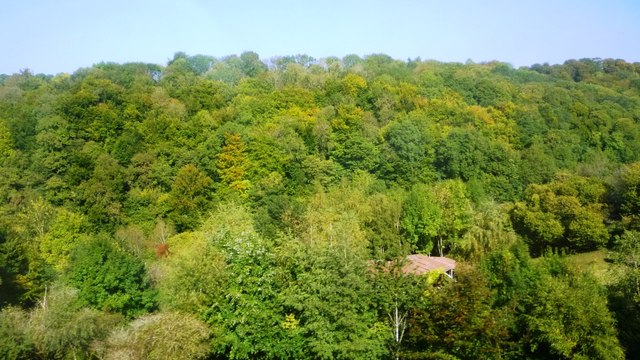
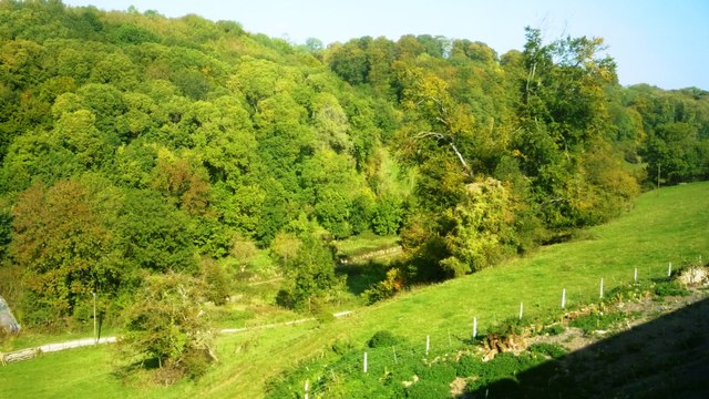
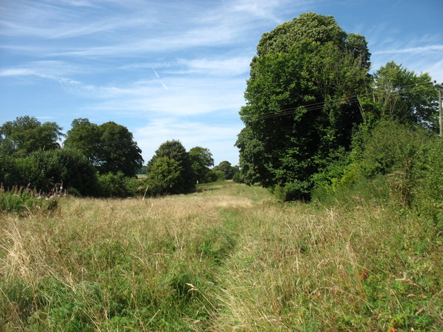
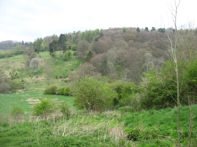
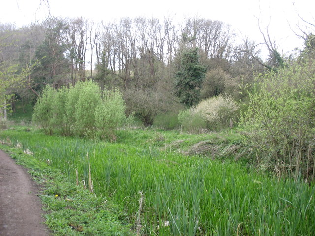
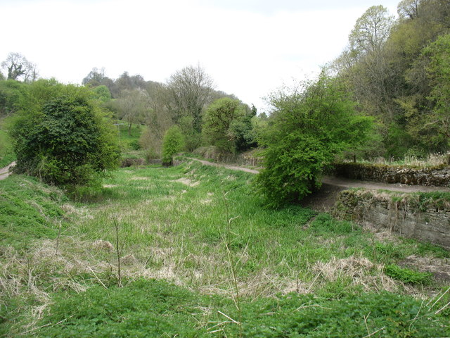
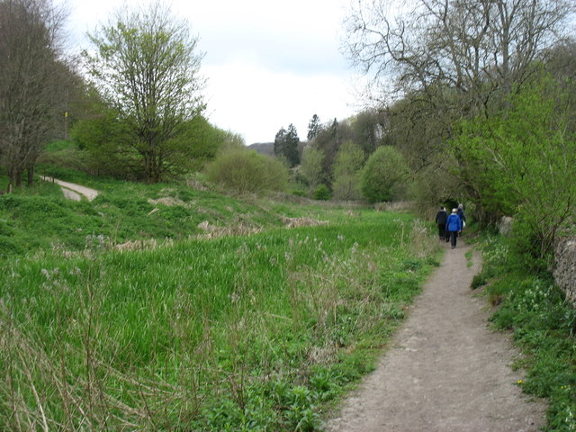
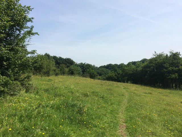
Ash Hill Plantation is a sprawling woodland located in Gloucestershire, England. Covering an area of approximately 500 acres, it is a part of the picturesque countryside of the region. The plantation is known for its dense forest and is a popular destination for nature enthusiasts and hikers alike.
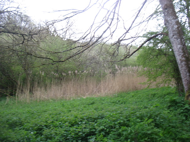
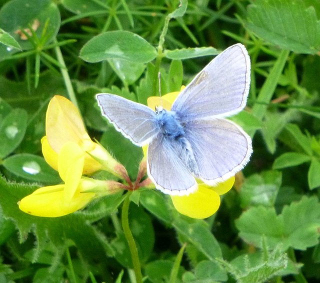
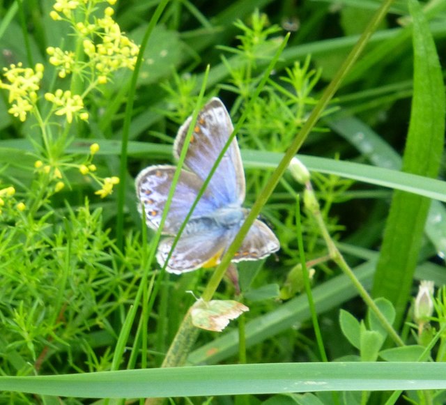
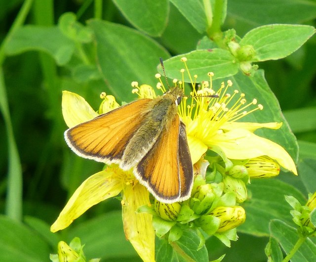
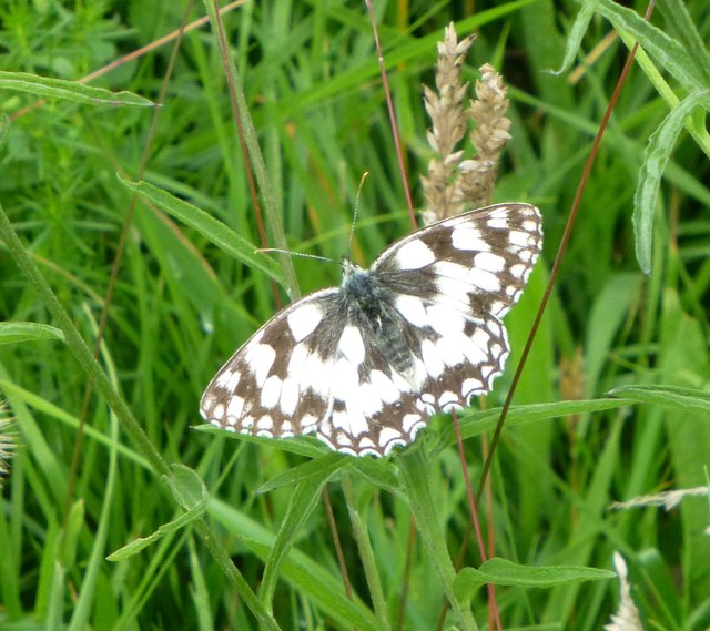
The woodland is primarily composed of native tree species such as oak, beech, and birch, which create a diverse and vibrant ecosystem. Ash Hill Plantation is also home to a variety of wildlife, including deer, foxes, and numerous species of birds. The tranquil atmosphere and abundance of flora and fauna make it an ideal spot for birdwatching and wildlife photography.
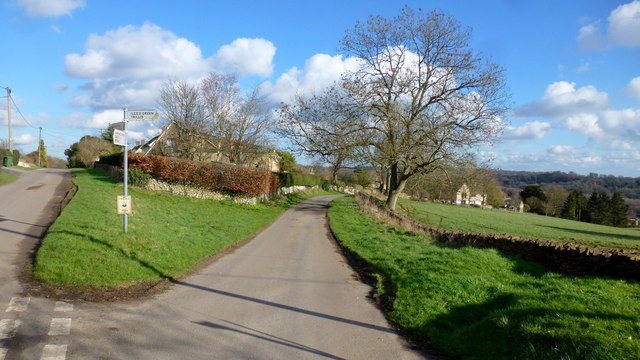
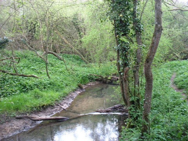
Visitors to Ash Hill Plantation can explore the numerous walking trails that crisscross the woodland. These trails offer breathtaking views of the surrounding countryside, with glimpses of the nearby rolling hills and meandering streams. The plantation is open to the public year-round, and there is no admission fee.
In addition to its natural beauty, Ash Hill Plantation also holds historical significance. It is rumored to have been a hunting ground for royalty in the past, and remnants of an old hunting lodge can still be found within the woodland. The plantation has been preserved and maintained by local authorities, ensuring its continued beauty and accessibility for generations to come.
If you have any feedback on the listing, please let us know in the comments section below.
Ash Hill Plantation Images
Images are sourced within 2km of 51.720414/-2.0928311 or Grid Reference SO9302. Thanks to Geograph Open Source API. All images are credited.

Ash Hill Plantation is located at Grid Ref: SO9302 (Lat: 51.720414, Lng: -2.0928311)
Administrative County: Gloucestershire
District: Cotswold
Police Authority: Gloucestershire
What 3 Words
///mouths.directors.majors. Near Chalford, Gloucestershire
Nearby Locations
Related Wikis

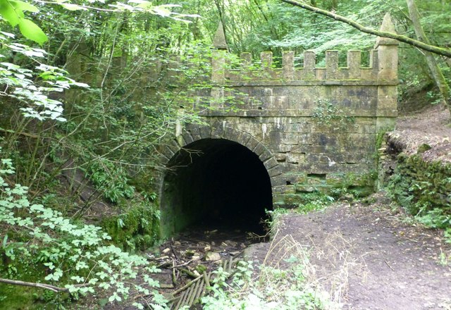
Sapperton Railway Tunnel
The Sapperton Railway Tunnel is a railway tunnel near Sapperton, Gloucestershire in the United Kingdom. It carries the Golden Valley Line from Stroud to...

Daneway Banks SSSI
Daneway Banks (grid reference SO937034) is a 17-hectare (42-acre) biological Site of Special Scientific Interest in Gloucestershire, notified in 1954 and...

Sapperton Valley
Sapperton Valley (grid reference SO935035) is a 3.7-hectare (9.1-acre) nature reserve near Chalford in the Stroud district of Gloucestershire, England...

Siccaridge Wood
Siccaridge Wood (grid reference SO935035) is a 26.6-hectare (66-acre) nature reserve in Gloucestershire. The site is listed in the ‘Stroud District’ Local...

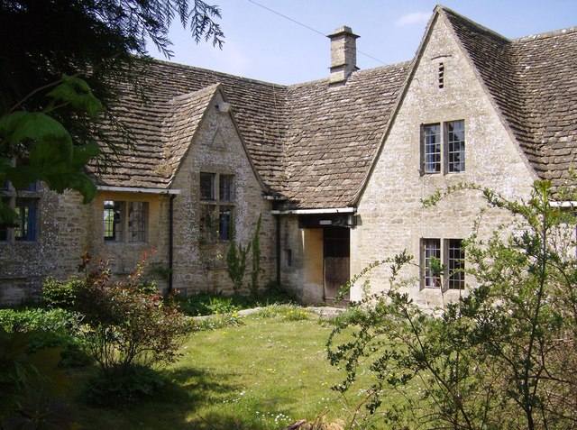
Daneway House
Daneway House is a grade I listed house in the parish of Bisley-with-Lypiatt but close to Sapperton in Gloucestershire, England.The house was built in...

St Kenelm's Church, Sapperton, Gloucestershire
St Kenelm's Church is a historic church in Sapperton, Gloucestershire in the care of The Churches Conservation Trust. It is listed Grade I on the National...

Frampton Mansell
Frampton Mansell is a small English village 5 miles (8 km) east-south-east of Stroud, Gloucestershire, in the parish of Sapperton. It lies off the A419...
Sapperton, Gloucestershire
Sapperton is a village and civil parish in the Cotswold District of Gloucestershire in England, about 4.5 miles (7.2 km) west of Cirencester. It is most...
Nearby Amenities
Located within 500m of 51.720414,-2.0928311Have you been to Ash Hill Plantation?
Leave your review of Ash Hill Plantation below (or comments, questions and feedback).