Garrett Coppice
Wood, Forest in Worcestershire Bromsgrove
England
Garrett Coppice
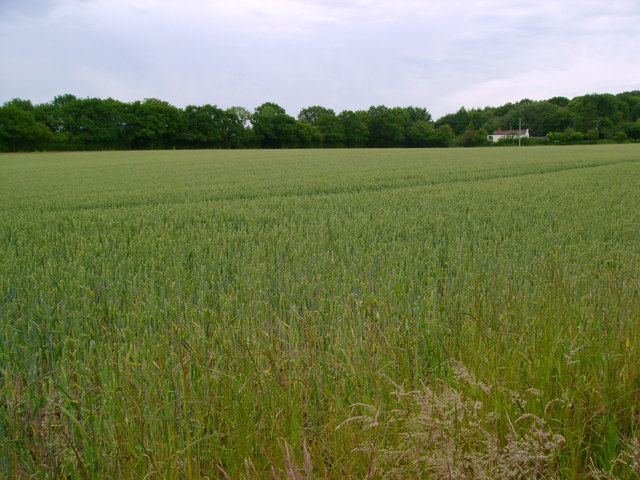
Garrett Coppice is a woodland area located in Worcestershire, England. Spread over a vast expanse, it is known for its dense forest cover and picturesque landscape. The coppice, which refers to the practice of repeatedly cutting down trees to promote regrowth, has been a significant feature of this area for centuries.
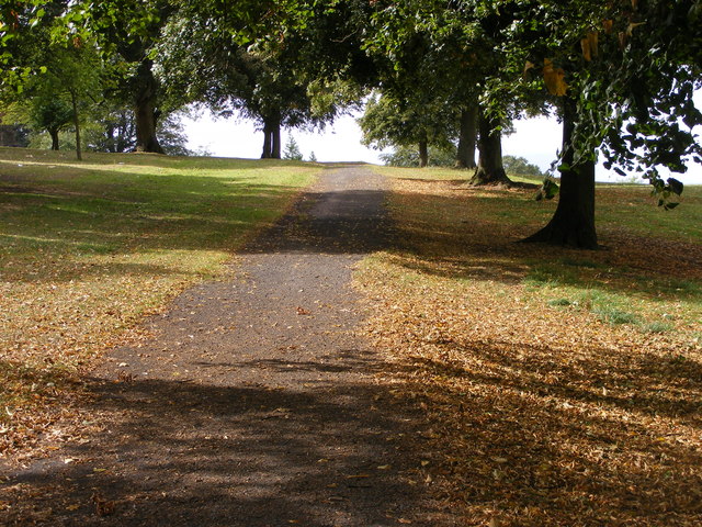
The woodland is a diverse ecosystem, home to a wide array of plant and animal species. Ancient oak, birch, and beech trees dominate the area, creating a dense canopy that provides shelter and food for numerous bird species, such as woodpeckers and owls. The forest floor is covered with a rich carpet of wildflowers and ferns, offering a feast for insects and small mammals.
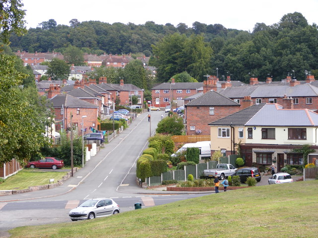
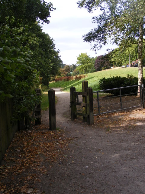
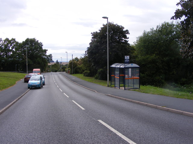
Garrett Coppice is an ideal destination for nature enthusiasts and outdoor adventurers. It offers various walking trails and paths that allow visitors to explore the woodland and immerse themselves in its natural beauty. The tranquil atmosphere and peaceful surroundings make it a popular spot for birdwatching, photography, and simply connecting with nature.
Managed by local authorities and conservation organizations, Garrett Coppice is actively maintained to preserve its ecological balance and protect its flora and fauna. Sustainable forestry practices are implemented to ensure the longevity of the woodland while providing a sustainable source of timber.
Overall, Garrett Coppice is a thriving woodland area in Worcestershire, offering a haven for wildlife and providing visitors with the opportunity to experience the beauty and tranquility of nature.
If you have any feedback on the listing, please let us know in the comments section below.
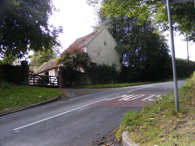
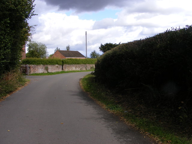
Garrett Coppice Images
Images are sourced within 2km of 52.436629/-2.094333 or Grid Reference SO9382. Thanks to Geograph Open Source API. All images are credited.
Garrett Coppice is located at Grid Ref: SO9382 (Lat: 52.436629, Lng: -2.094333)
Administrative County: Worcestershire
District: Bromsgrove
Police Authority: West Mercia
What 3 Words
///rooms.dips.sound. Near Hagley, Worcestershire
Nearby Locations
Related Wikis

Lutley
Lutley is a hamlet near Halesowen in the Dudley district, in the county of the West Midlands, England. Lutley Mill is nearby in Halesowen and is also the...

Hayley Green, West Midlands
Hayley Green is a suburb of Halesowen in the Metropolitan Borough of Dudley, West Midlands, England, located to the south-west of Halesowen town centre...
Wollescote
Wollescote is a residential area of Stourbridge, West Midlands, England . It is administered by the Metropolitan Borough of Dudley. It falls within the...

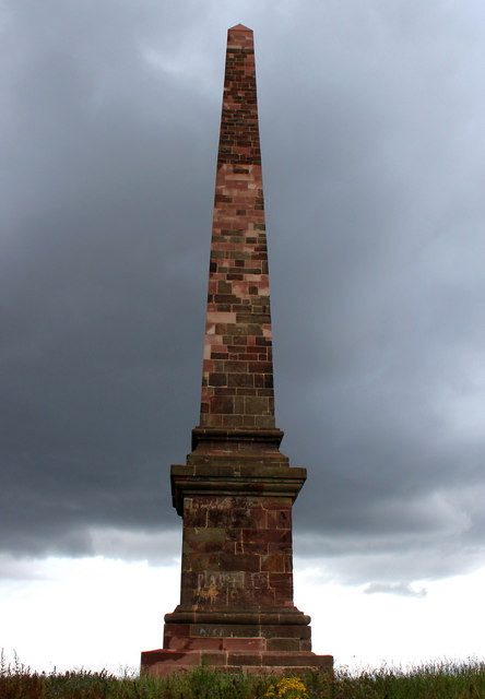
Wychbury Obelisk
The Hagley Obelisk (also known as the Wychbury Obelisk and locally as Wychbury Monument) stands close to the summit of Wychbury Hill in Hagley, Worcestershire...

Castle in Hagley Park
The folly castle in the park of Hagley Hall is a Grade II* listed building and the largest building in Hagley Park. It was designed by Sanderson Miller...
Cradley Town F.C.
Cradley Town Football Club is a football club based in Cradley, near Halesowen in the West Midlands. They are currently members of the Midland League Division...
Wychbury Ring
Wychbury Ring is an Iron Age hill fort located on Wychbury Hill, near Hagley, Stourbridge, on the border of West Midlands and Worcestershire in the English...

Wychbury Hill
Wychbury Hill is a hill situated off the A456 Birmingham Road, at Hagley, Stourbridge, on the border of West Midlands and Worcestershire. It is divided...
Nearby Amenities
Located within 500m of 52.436629,-2.094333Have you been to Garrett Coppice?
Leave your review of Garrett Coppice below (or comments, questions and feedback).