Hodge Hill

Settlement in Worcestershire

England

Hodge Hill

Mural, Claycroft Place, Lye
Mural, Claycroft Place, Lye Credit: Alex McGregor

Hodge Hill is a suburb located in Worcestershire, England. It is part of the metropolitan borough of Birmingham and lies approximately six miles east of the city center. The area is predominantly residential, characterized by a mix of houses and apartment buildings.

Hodge Hill is known for its diverse community, with residents from various cultural backgrounds. The suburb offers a range of amenities to cater to the needs of its population, including shopping centers, supermarkets, and local businesses. The area also benefits from good transport links, with several bus routes connecting it to neighboring districts and the city center.

The suburb is home to several schools, providing education options for families with children. There are also a number of parks and green spaces, offering recreational opportunities for residents to enjoy outdoor activities.

In terms of demographics, Hodge Hill has a relatively young population, with a mix of families and professionals residing in the area. The housing stock in Hodge Hill consists of a variety of properties, including both affordable and higher-end homes.

Overall, Hodge Hill provides a vibrant and multicultural living environment, with access to essential amenities and good transport links. Its proximity to Birmingham city center makes it an attractive choice for those seeking a suburban lifestyle with easy access to urban amenities.

If you have any feedback on the listing, please let us know in the comments section below.
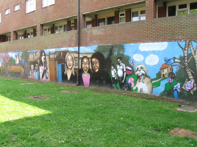
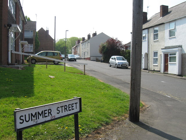
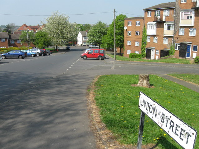
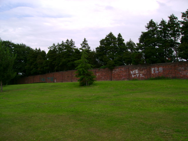
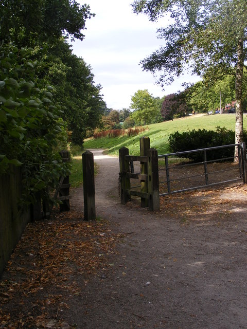
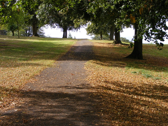
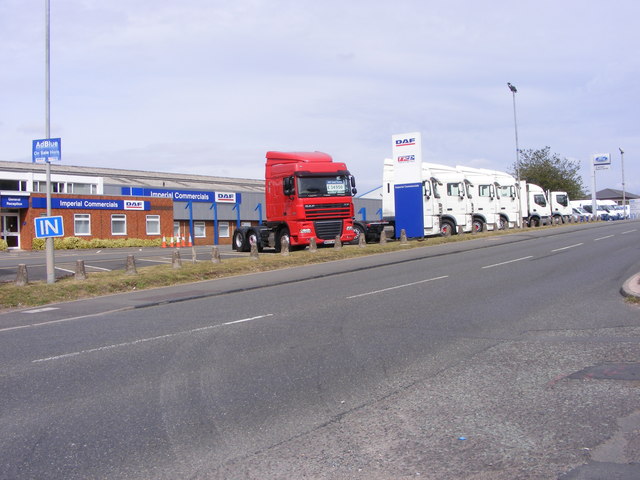
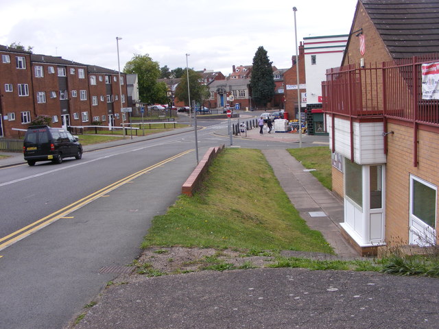
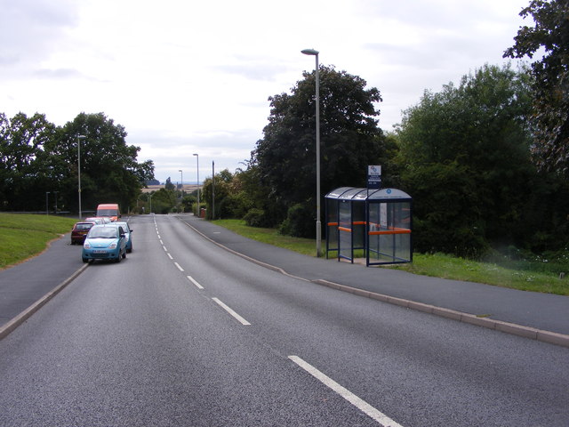
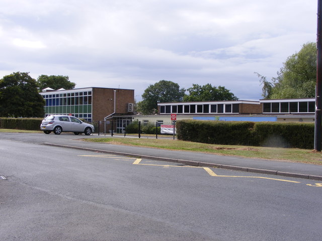
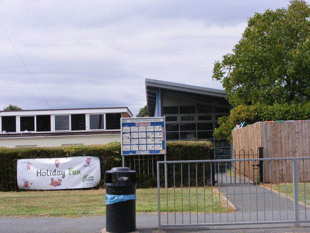
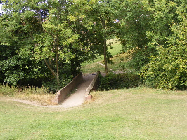
Hodge Hill Images

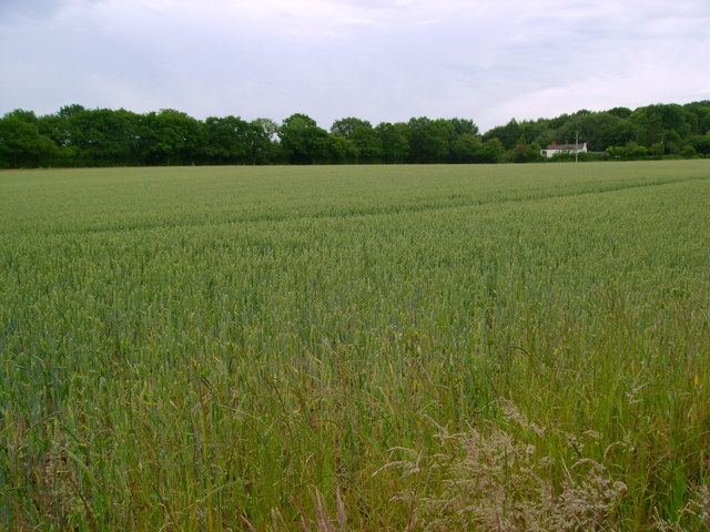
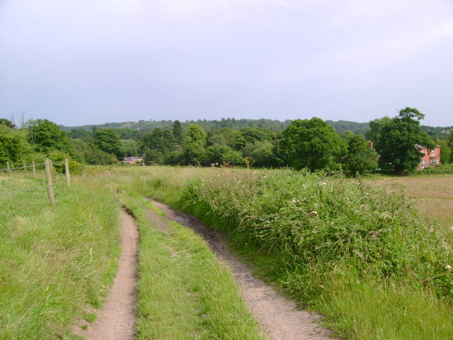
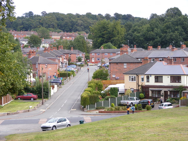
Images are sourced within 2km of 52.444439/-2.104427 or Grid Reference SO9382. Thanks to Geograph Open Source API. All images are credited.

Mural, Claycroft Place, Lye
Summer Street, Lye
Summer Street, Lye
Union Street, Lye
Union Street, Lye
Stevens Park The highest ground in Stevens Park, formerly home to swing sets.  A new playground has been constructed elsewhere in the park.
Stevens Park
The highest ground in Stevens Park, formerly home to swing sets. A new playground has been constructed elsewhere in the park.
Wheat field Wheat growing in a clay soil northeast of Wychbury Hill.
Wheat field
Wheat growing in a clay soil northeast of Wychbury Hill.
Reservoir access track Looking down a track leading away from the reservoir higher up on Wychbury Hill.
Reservoir access track
Looking down a track leading away from the reservoir higher up on Wychbury Hill.
Wychbury Hill Obelisk This has only recently been restored after years behind scaffolding. Photographed against a very dark sky!
Wychbury Hill Obelisk
This has only recently been restored after years behind scaffolding. Photographed against a very dark sky!
Hodge Hill View The view down from Stevens Park Wollescote to the Dudley street.
Hodge Hill View
The view down from Stevens Park Wollescote to the Dudley street.
Park Gate The path alongside the brook in Stevens Park Wollescote.
Park Gate
The path alongside the brook in Stevens Park Wollescote.
Shaded Path The view up the path in Stevens Park, Wollescote.
Shaded Path
The view up the path in Stevens Park, Wollescote.
The Lye The High Street view of the new town sign in the Black Country.
The Lye
The High Street view of the new town sign in the Black Country.
The Old Bell at Lye The view from the High Street of a Black Country Pub.
The Old Bell at Lye
The view from the High Street of a Black Country Pub.
Trucks at The Hayes The view on the A458 near Lye of Daf trucks at Imperial Commercials.
Trucks at The Hayes
The view on the A458 near Lye of Daf trucks at Imperial Commercials.
Lye Approach The view down the High Street to the start of the Town centre.
Lye Approach
The view down the High Street to the start of the Town centre.
Dobbin's Oak Road Bus Stop The view down Gauden Road near Pedmore, Dudley.
Dobbin's Oak Road Bus Stop
The view down Gauden Road near Pedmore, Dudley.
Hob Green School The Primary School in Hob Green Road, Dudley.
Hob Green School
The Primary School in Hob Green Road, Dudley.
Hob Green Children's Centre The centre next to the Primary School in Hob Green Road, Dudley.
Hob Green Children's Centre
The centre next to the Primary School in Hob Green Road, Dudley.
Stevens Park Bridge The bridge over the brook in the Wollescote Park at Dudley.
Stevens Park Bridge
The bridge over the brook in the Wollescote Park at Dudley.
Show me another place!

Hodge Hill is located at Grid Ref: SO9382 (Lat: 52.444439, Lng: -2.104427)

Unitary Authority: Dudley

Police Authority: West Midlands

What 3 Words

///mole.brand.sheep. Near Hagley, Worcestershire

Related Wikis

Wollescote

Wollescote is a residential area of Stourbridge, West Midlands, England . It is administered by the Metropolitan Borough of Dudley. It falls within the...

Lutley

Lutley is a hamlet near Halesowen in the Dudley district, in the county of the West Midlands, England. Lutley Mill is nearby in Halesowen and is also the...

Cradley Town F.C.

Cradley Town Football Club is a football club based in Cradley, near Halesowen in the West Midlands. They are currently members of the Midland League Division...
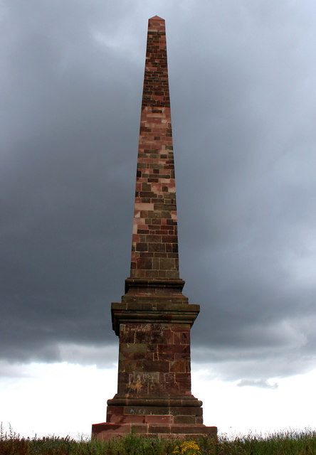
Wychbury Obelisk

The Hagley Obelisk (also known as the Wychbury Obelisk and locally as Wychbury Monument) stands close to the summit of Wychbury Hill in Hagley, Worcestershire...

Pedmore High School

The Pedmore High School is a mixed secondary school located in the Pedmore area of Stourbridge, West Midlands, England.The school opened in September 1939...

Wychbury Ring

Wychbury Ring is an Iron Age hill fort located on Wychbury Hill, near Hagley, Stourbridge, on the border of West Midlands and Worcestershire in the English...

Wychbury Hill

Wychbury Hill is a hill situated off the A456 Birmingham Road, at Hagley, Stourbridge, on the border of West Midlands and Worcestershire. It is divided...

Hayley Green, West Midlands

Hayley Green is a suburb of Halesowen in the Metropolitan Borough of Dudley, West Midlands, England, located to the south-west of Halesowen town centre...

Nearby Amenities

Located within 500m of 52.444439,-2.104427
Bus Stop
Oakfield Rd / Wynall Lane
NaPTANAreaCode: 43000814402
Bus: yes
Naptan AtcoCode: 43000814402
Naptan Bearing: SW
Naptan BusStopType: MKD
Naptan CommonName: Wynall Lane
Naptan Indicator: adj
Naptan NaptanCode: nwmjtdad
Naptan PlusbusZoneRef: BHAMNWS
Naptan Status: ACT
Naptan StopType: BCT
Naptan Street: OAKFIELD RD
Naptan Towards: Stourbridge
Public Transport: platform
Route Ref: 142;276;298
Shelter: yes
Shelter Ref: 408407
Source: WMCA
Lat/Long: 52.4467108/-2.1057348
Bus Stop
Oakfield Rd / Coppice Avenue
NaPTANAreaCode: 43000814501
Bus: yes
Naptan AtcoCode: 43000814501
Naptan Bearing: NE
Naptan BusStopType: MKD
Naptan CommonName: Coppice Avenue
Naptan Indicator: adj
Naptan NaptanCode: nwmjtdag
Naptan PlusbusZoneRef: BHAMNWS
Naptan Status: ACT
Naptan StopType: BCT
Naptan Street: OAKFIELD RD
Naptan Towards: Lye
Naptan Verified: no
Public Transport: platform
Route Ref: 142;276;299
Shelter: yes
Shelter Ref: 408406
Source: WMCA
Lat/Long: 52.4450862/-2.1082426
Bus Stop
Oakfield Rd / Coppice Avenue
NaPTANAreaCode: 43000814502
Bus: yes
Naptan AtcoCode: 43000814502
Naptan Bearing: SW
Naptan BusStopType: MKD
Naptan CommonName: Coppice Avenue
Naptan Indicator: opp
Naptan NaptanCode: nwmjtdaj
Naptan PlusbusZoneRef: BHAMNWS
Naptan Status: ACT
Naptan StopType: BCT
Naptan Street: OAKFIELD RD
Naptan Towards: Stourbridge
Naptan Verified: no
Public Transport: platform
Route Ref: 142;276;298
Shelter: yes
Shelter Ref: 408405
Source: WMCA
Lat/Long: 52.4448101/-2.1084177
Bus Stop
Oakfield Rd / Amos Rd
NaPTANAreaCode: 43000814601
Bus: yes
Naptan AtcoCode: 43000814601
Naptan Bearing: NE
Naptan BusStopType: MKD
Naptan CommonName: Amos Rd
Naptan Indicator: adj
Naptan NaptanCode: nwmjtdam
Naptan PlusbusZoneRef: BHAMNWS
Naptan Status: ACT
Naptan StopType: BCT
Naptan Street: OAKFIELD RD
Naptan Towards: Lye
Naptan Verified: no
Public Transport: platform
Route Ref: 142;276;299
Shelter: yes
Shelter Ref: 408404
Source: WMCA
Lat/Long: 52.443862/-2.109961
Bus Stop
Oakfield Rd / Woodfield Avenue
Bus: yes
Naptan AtcoCode: 43000814701
Naptan Bearing: S
Naptan BusStopType: MKD
Naptan CommonName: Woodfield Avenue
Naptan Indicator: adj
Naptan NaptanCode: nwmjtdap
Naptan PlusbusZoneRef: BHAMNWS
Naptan Status: ACT
Naptan StopType: BCT
Naptan Street: OAKFIELD RD
Naptan Towards: Stourbridge
Naptan Verified: no
Public Transport: platform
Route Ref: 142;276;298
Source: WMCA
Lat/Long: 52.4427284/-2.1108409
Bus Stop
Oakfield Rd / Woodfield Avenue
Bus: yes
Naptan AtcoCode: 43000814702
Naptan Bearing: N
Naptan BusStopType: MKD
Naptan CommonName: Woodfield Avenue
Naptan Indicator: opp
Naptan NaptanCode: nwmjtdat
Naptan PlusbusZoneRef: BHAMNWS
Naptan Status: ACT
Naptan StopType: BCT
Naptan Street: OAKFIELD RD
Naptan Towards: Lye
Naptan Verified: no
Public Transport: platform
Route Ref: 142;276;299
Source: WMCA
Lat/Long: 52.4426923/-2.1109732
Bus Stop
Wynall Lane / Oakfield Rd
NaPTANAreaCode: 43008140001
Bus: yes
Naptan AtcoCode: 43008140001
Naptan Bearing: N
Naptan BusStopType: MKD
Naptan CommonName: Oakfield Rd
Naptan Indicator: after
Naptan NaptanCode: nwmpmjwj
Naptan PlusbusZoneRef: BHAMNWS
Naptan Status: ACT
Naptan StopType: BCT
Naptan Street: WYNALL LANE
Naptan Towards: Lye
Public Transport: platform
Route Ref: 142;276;299
Shelter: yes
Shelter Ref: 408408
Source: WMCA
Lat/Long: 52.447221/-2.1054517
Fast Food
Ocean City
Addr Housenumber: 50
Addr Postcode: DY9 9AB
Addr Street: Wynall Lane
Cuisine: chinese
Fhrs Id: 1042822
Source Addr: FHRS Open Data
Lat/Long: 52.4482163/-2.1066132
Costcutter
Addr Housenumber: 78
Addr Postcode: DY9 9AQ
Addr Street: Wynall Lane
Brand: Costcutter
Brand Wikidata: Q5175072
Brand Wikipedia: en:Costcutter
Contact Website: https://store-locator.costcutter.co.uk/costcutter-c10b29bb83f7
Fhrs Id: 984696
Shop: convenience
Source Addr: FHRS Open Data
Lat/Long: 52.4472262/-2.1057558
General Stores
Shop: convenience
Lat/Long: 52.4482988/-2.1067111
Fast Food
Art Cusine
Cuisine: chinese
Lat/Long: 52.4473833/-2.1058291
Wynall
Is In: Dudley
Place: suburb
Lat/Long: 52.4470944/-2.107375
Hodge Hill
Natural: peak
Lat/Long: 52.4444489/-2.104619
Generator Method: photovoltaic
Generator Output Electricity: yes
Generator Source: solar
Generator Type: solar_photovoltaic_panel
Location: roof
Power: generator
Lat/Long: 52.4456245/-2.107653
Generator Method: photovoltaic
Generator Output Electricity: yes
Generator Source: solar
Generator Type: solar_photovoltaic_panel
Location: roof
Power: generator
Lat/Long: 52.4459923/-2.1104988
The data included in this document is from www.openstreetmap.org. The data is made available under ODbL.

Have you been to Hodge Hill?

Leave your review of Hodge Hill below (or comments, questions and feedback).