Zareba Clump

Wood, Forest in Dorset

England

Zareba Clump

Castleman Hotel, Chettle The Castleman Hotel was originally Chettle Lodge, the dower house for the surrounding estate. Since 1846 the estate has been owned by the Castleman-Bourke family.
Castleman Hotel, Chettle Credit: Steve Whalley

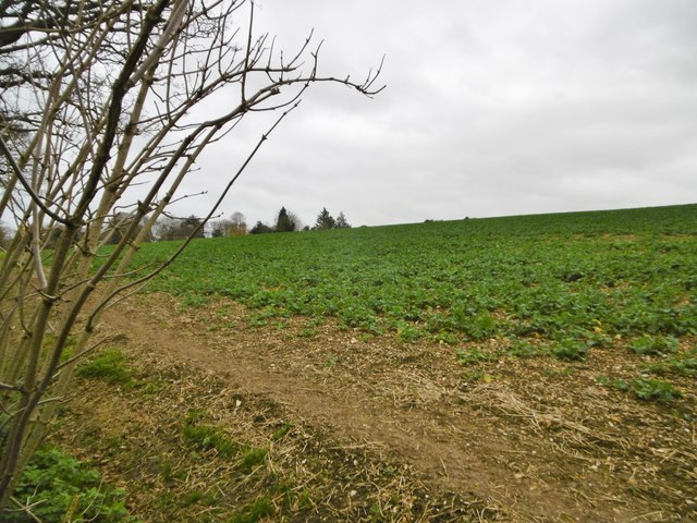
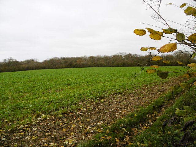
Zareba Clump is a picturesque woodland located in the county of Dorset, England. Situated in the heart of the beautiful countryside, this forested area is a popular destination for nature lovers and outdoor enthusiasts.

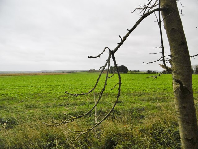
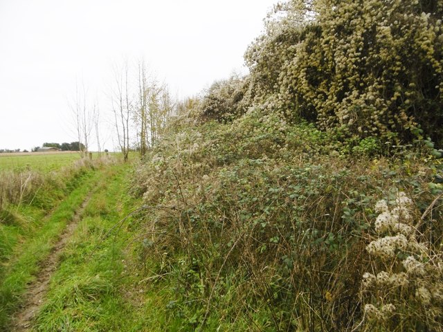
Covering an area of approximately 100 acres, Zareba Clump is home to a diverse range of plant and animal species. The woodland is predominantly composed of native trees such as oak, beech, and birch, which create a dense canopy overhead, providing shade and shelter for the thriving undergrowth. The forest floor is adorned with a carpet of wildflowers, mosses, and ferns, adding to the enchanting atmosphere of the area.

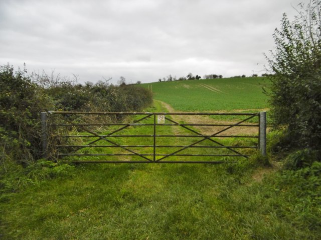
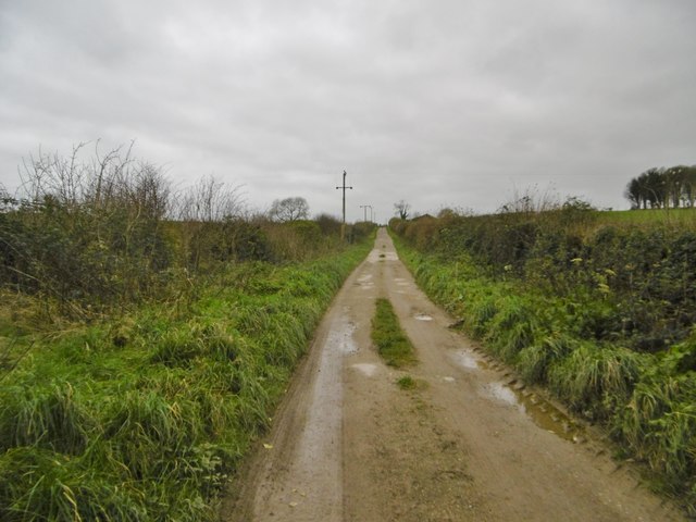
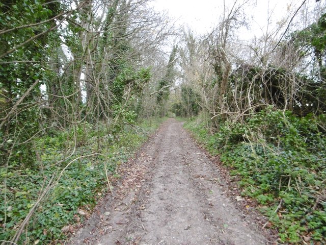
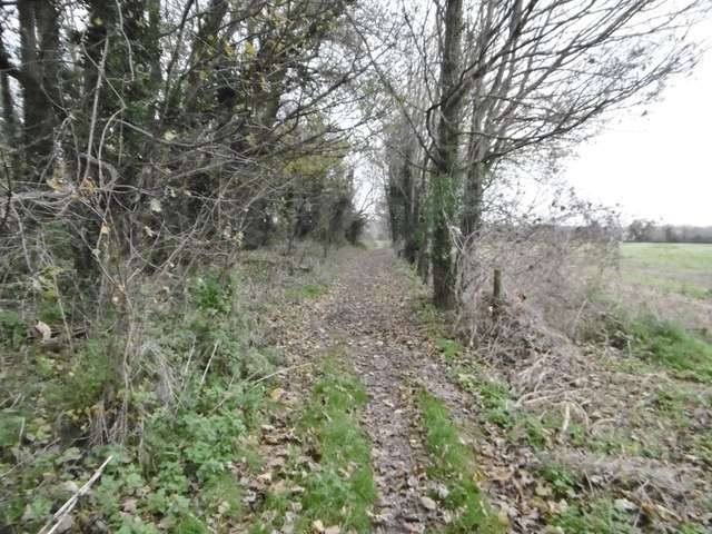
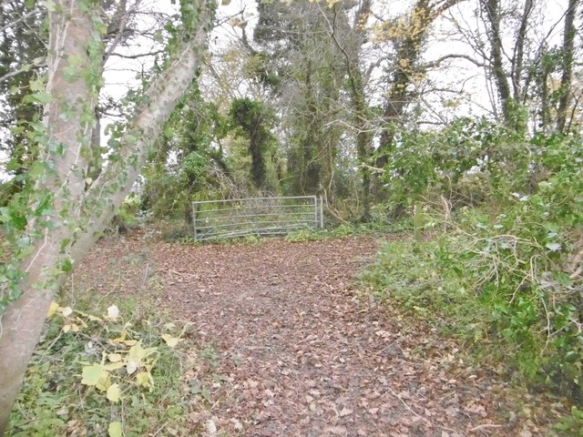
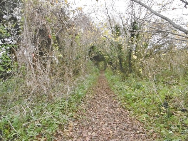
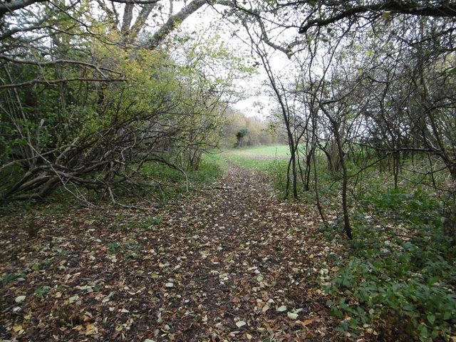
The clump is crisscrossed with a network of well-maintained footpaths, allowing visitors to explore the forest at their own pace. These trails lead to hidden clearings, babbling brooks, and peaceful ponds, enhancing the sense of tranquility and serenity that permeates the area.

Zareba Clump is not only a haven for flora and fauna but also a sanctuary for wildlife. The forest is home to a variety of bird species, including woodpeckers, thrushes, and owls, making it a paradise for birdwatchers. Deer, foxes, and rabbits can also be spotted within the forest, adding an element of excitement and wonder to any visit.

The forest is open to the public year-round, with no admission fee, making it an accessible and affordable destination for all. Visitors are encouraged to respect the natural environment and adhere to the Leave No Trace principles, ensuring the preservation of this beautiful woodland for generations to come.

If you have any feedback on the listing, please let us know in the comments section below.

Zareba Clump Images

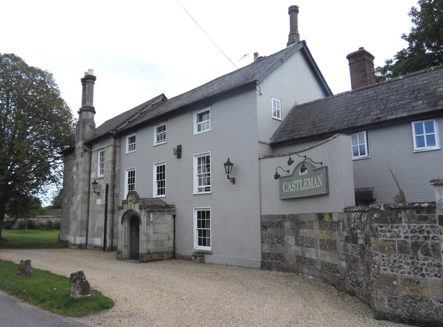
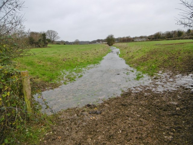
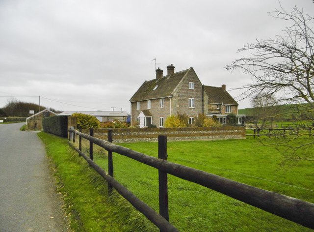
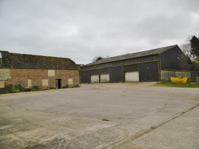
Images are sourced within 2km of 50.918702/-2.0912507 or Grid Reference ST9313. Thanks to Geograph Open Source API. All images are credited.

Castleman Hotel, Chettle The Castleman Hotel was originally Chettle Lodge, the dower house for the surrounding estate. Since 1846 the estate has been owned by the Castleman-Bourke family.
Castleman Hotel, Chettle
The Castleman Hotel was originally Chettle Lodge, the dower house for the surrounding estate. Since 1846 the estate has been owned by the Castleman-Bourke family.
Tarrant Hinton, the Tarrant Looking upstream at a chalk stream that rises in Tarrant Gunville, and joins River Stour to the South. North of the village, the river has a more natural flow than at <a href="https://www.geograph.org.uk/photo/4757997">ST9311 : Tarrant Hinton, the Tarrant</a>, through farmland.
Tarrant Hinton, the Tarrant
Looking upstream at a chalk stream that rises in Tarrant Gunville, and joins River Stour to the South. North of the village, the river has a more natural flow than at ST9311 : Tarrant Hinton, the Tarrant, through farmland.
Tarrant Hinton, Meadow House Formerly North Farmhouse, now a B&B.
Tarrant Hinton, Meadow House
Formerly North Farmhouse, now a B&B.
Tarrant Hinton, North Farm
Tarrant Hinton, brassicas Oil-seed rape (?) cultivated on the slopes of High Lea Hill.
Tarrant Hinton, brassicas
Oil-seed rape (?) cultivated on the slopes of High Lea Hill.
Tarrant Hinton, gate On the path along farmland from Tarrant Gunville to Tarrant Hinton.
Tarrant Hinton, gate
On the path along farmland from Tarrant Gunville to Tarrant Hinton.
Tarrant Hinton, byway The farm road from Tarrant Gunville to North Tarrant Hinton Down.
Tarrant Hinton, byway
The farm road from Tarrant Gunville to North Tarrant Hinton Down.
Tarrant Gunville, gateway C18 gateway, at the southern boundary of Eastbury Park, to Kennels Farmhouse and White Kennels. Listed by Historic England: <span class="nowrap"><a title="http://www.imagesofengland.org.uk/Details/Default.aspx?id=103670&mode=adv" rel="nofollow ugc noopener" href="http://www.imagesofengland.org.uk/Details/Default.aspx?id=103670&mode=adv">Link</a><img style="margin-left:2px;" alt="External link" title="External link - shift click to open in new window" src="https://s1.geograph.org.uk/img/external.png" width="10" height="10"/></span>
Tarrant Gunville, gateway
C18 gateway, at the southern boundary of Eastbury Park, to Kennels Farmhouse and White Kennels. Listed by Historic England: LinkExternal link
Tarrant Hinton, byway Byway and farm road, from Eastbury Farmhouse to Little Wood.
Tarrant Hinton, byway
Byway and farm road, from Eastbury Farmhouse to Little Wood.
Tarrant Hinton, masts Seen from the byway from Little Wood. NGR refers to the nearer mast.
Tarrant Hinton, masts
Seen from the byway from Little Wood. NGR refers to the nearer mast.
Tarrant Hinton, brassicas Oil-seed rape (?).
Tarrant Hinton, brassicas
Oil-seed rape (?).
Tarrant Hinton, byway Open to all traffic; towards Little Wood.
Tarrant Hinton, byway
Open to all traffic; towards Little Wood.
Tarrant Hinton, seedheads Traveller's Joy seedheads (Clematis vitalba), sprawling over an ash tree and scrub, on the byway to the village.
Tarrant Hinton, seedheads
Traveller's Joy seedheads (Clematis vitalba), sprawling over an ash tree and scrub, on the byway to the village.
Tarrant Hinton, byway junction Coming from Tarrant Gunville; left, to Chettle; right, to Tarrant Hinton.
Tarrant Hinton, byway junction
Coming from Tarrant Gunville; left, to Chettle; right, to Tarrant Hinton.
Tarrant Gunville, bridleway From <a href="https://www.geograph.org.uk/photo/4758077">ST9412 : Tarrant Hinton, byway junction</a> to the village. The bridleway also forms part of the Jubilee Trail, and is on the boundary of Tarrant Gunville and Chettle Parishes.
Tarrant Gunville, bridleway
From ST9412 : Tarrant Hinton, byway junction to the village. The bridleway also forms part of the Jubilee Trail, and is on the boundary of Tarrant Gunville and Chettle Parishes.
Chettle, gate The entrance to Little Wood.
Chettle, gate
The entrance to Little Wood.
Chettle, bridleway Leaving woodland for open farmland, on the way around Eastbury Park. This section forms part of Jubilee Trail. <span class="nowrap"><a title="https://www.ldwa.org.uk/ldp/members/show_path.php?path_name=Jubilee+Trail+(Dorset)" rel="nofollow ugc noopener" href="https://www.ldwa.org.uk/ldp/members/show_path.php?path_name=Jubilee+Trail+(Dorset)">Link</a><img style="margin-left:2px;" alt="External link" title="External link - shift click to open in new window" src="https://s1.geograph.org.uk/img/external.png" width="10" height="10"/></span>
Chettle, bridleway
Leaving woodland for open farmland, on the way around Eastbury Park. This section forms part of Jubilee Trail. LinkExternal link
Chettle, brassicas Looking towards Little Wood.
Chettle, brassicas
Looking towards Little Wood.
Show me another place!

Zareba Clump is located at Grid Ref: ST9313 (Lat: 50.918702, Lng: -2.0912507)

Unitary Authority: Dorset

Police Authority: Dorset

What 3 Words

///radically.clay.declines. Near Pimperne, Dorset

Related Wikis

Eastbury Park

Eastbury Park was a country estate near Tarrant Gunville in Dorset, England. It contained a large mansion designed by Sir John Vanbrugh. The mansion has...

Tarrant Gunville

Tarrant Gunville is a village and civil parish in north Dorset, England, situated at the head of the Tarrant Valley on Cranborne Chase five miles (eight...

Chettle House

Chettle House is a Grade I listed country manor house with Queen Anne style architecture in Chettle, North Dorset, England, about 6 miles (10 km) northeast...

Chettle

Chettle is a small village and civil parish in the county of Dorset in southern England. It lies 6 miles (10 kilometres) northeast of Blandford Forum....

Tarrant Hinton

Tarrant Hinton is a village and civil parish in the county of Dorset in southern England. It is situated in the Tarrant Valley, approximately five miles...

Farnham, Dorset

Farnham is a village and civil parish in North Dorset, in the south of England, on Cranborne Chase, seven miles (eleven kilometres) northeast of Blandford...

Great Dorset Steam Fair

The Great Dorset Steam Fair (abbreviated GDSF, and since 2010 also known as The National Heritage Show) is an annual show featuring steam-powered vehicles...

Tarrant Launceston

Tarrant Launceston is a small village and civil parish in north Dorset, England, situated in the Tarrant Valley 5 miles (8 kilometres) northeast of Blandford...

Nearby Amenities

Located within 500m of 50.918702,-2.0912507
Material: wood
Power: pole
Source: bing
Lat/Long: 50.9154645/-2.0958339
Material: wood
Power: pole
Source: bing
Lat/Long: 50.9161848/-2.0960645
Material: wood
Power: pole
Source: bing
Lat/Long: 50.9168866/-2.096373
Material: wood
Power: pole
Source: bing
Lat/Long: 50.9175985/-2.0966868
Material: wood
Power: pole
Source: bing
Lat/Long: 50.9183256/-2.0969953
Material: wood
Power: pole
Source: bing
Lat/Long: 50.9186469/-2.098264
Material: wood
Power: pole
Source: bing
Lat/Long: 50.9190223/-2.097293
Material: wood
Power: pole
Source: bing
Lat/Long: 50.9195329/-2.0958956
Material: wood
Power: pole
Source: bing
Lat/Long: 50.9200419/-2.0945303
Material: wood
Power: pole
Source: bing
Lat/Long: 50.9205373/-2.0931758
Material: wood
Power: pole
Source: bing
Lat/Long: 50.9205424/-2.0947905
Material: wood
Power: pole
Source: bing
Lat/Long: 50.9210294/-2.0918669
Material: wood
Power: pole
Source: bing
Lat/Long: 50.9210987/-2.0950265
Material: wood
Power: pole
Source: bing
Lat/Long: 50.9216397/-2.0892517
Material: wood
Power: pole
Source: bing
Lat/Long: 50.9217547/-2.0879375
Material: wood
Power: pole
Source: bing
Lat/Long: 50.921912/-2.0863362
Power: pole
Source: bing
Lat/Long: 50.9215379/-2.0905419
The data included in this document is from www.openstreetmap.org. The data is made available under ODbL.

Have you been to Zareba Clump?

Leave your review of Zareba Clump below (or comments, questions and feedback).