Main Down Plantation

Wood, Forest in Dorset

England

Main Down Plantation

Castleman Hotel, Chettle The Castleman Hotel was originally Chettle Lodge, the dower house for the surrounding estate. Since 1846 the estate has been owned by the Castleman-Bourke family.
Castleman Hotel, Chettle Credit: Steve Whalley

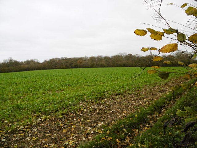
Main Down Plantation is a picturesque woodland area located in Dorset, England. Spanning over an impressive 200 acres, it is known for its dense forest and diverse range of plant and animal species. The plantation is situated near the village of Main Down, which lends its name to the area.

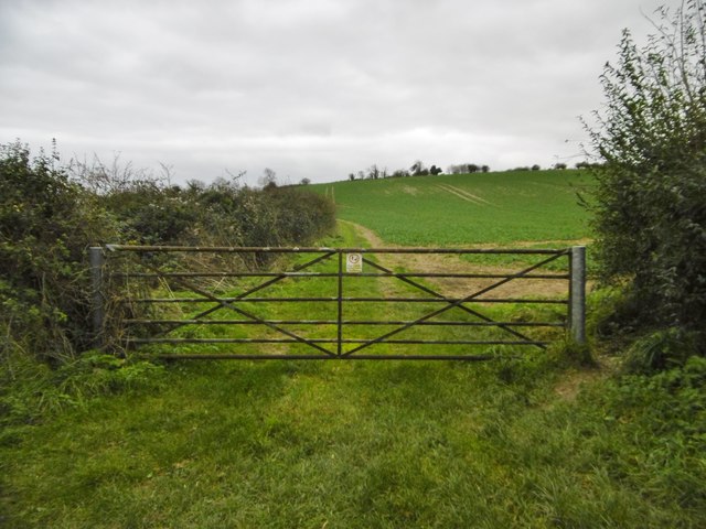
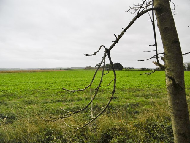
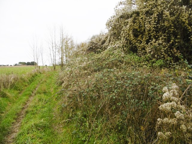
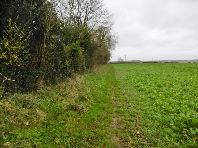
The woodland is characterized by a mix of broadleaf and coniferous trees, creating a rich and varied habitat for wildlife. Visitors can expect to see towering oak and beech trees, alongside spruces and firs, forming a lush canopy that provides ample shade and shelter. The forest floor is adorned with a carpet of vibrant wildflowers, adding to the area's natural beauty.

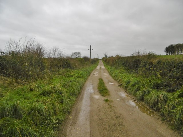
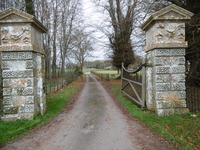
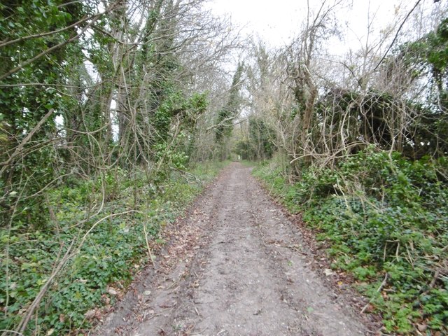
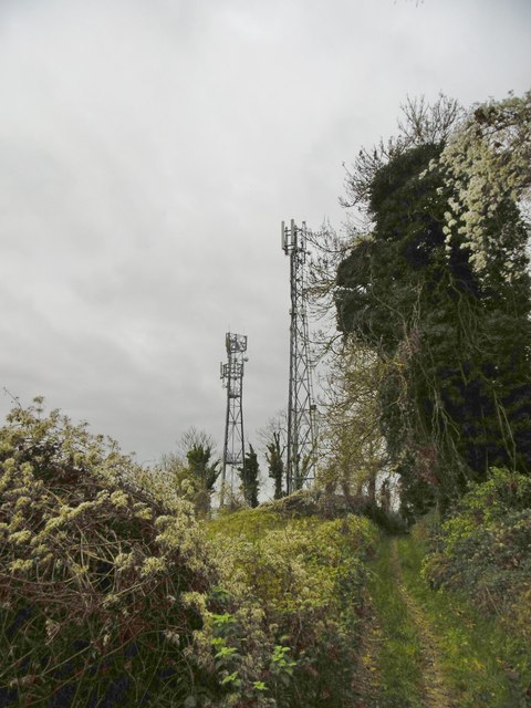
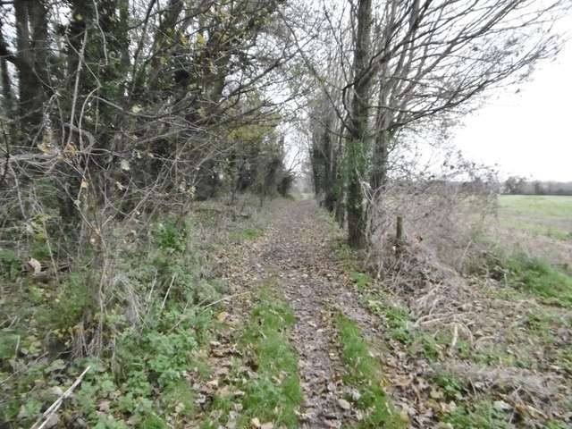
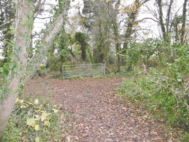
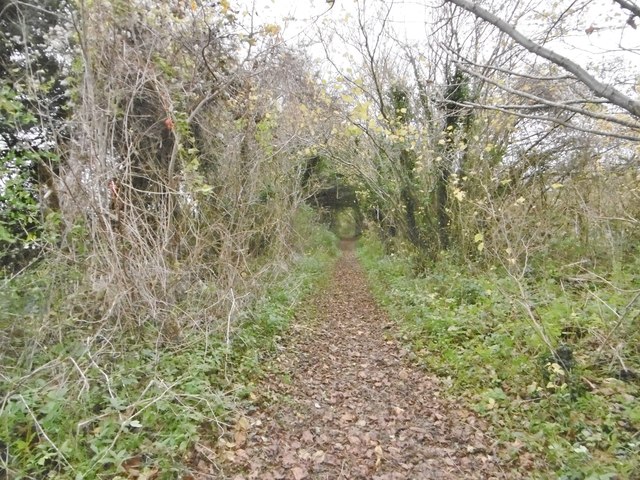
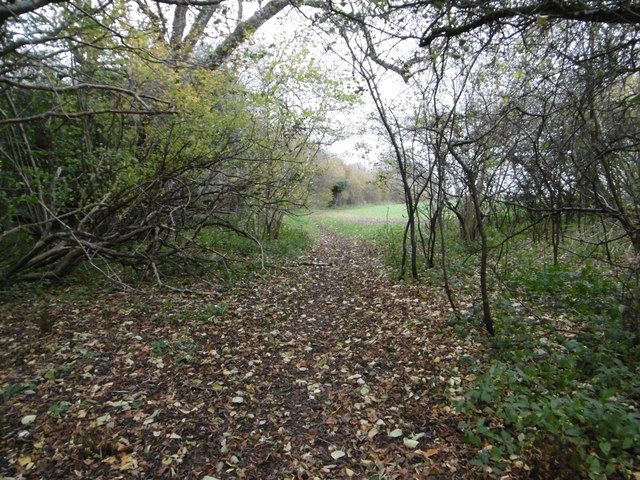
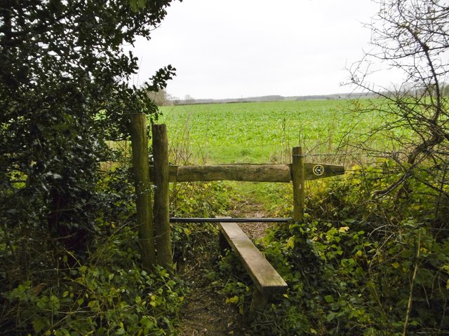
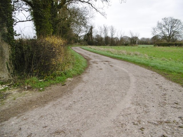
Main Down Plantation is a haven for nature enthusiasts and hikers alike, offering a network of well-maintained trails that wind through the forest. These trails provide opportunities for exploration and allow visitors to immerse themselves in the tranquility of the surroundings. The plantation also boasts a small lake, attracting a variety of bird species, making it a popular spot for birdwatching.

The plantation is managed by a dedicated team of conservationists who work tirelessly to preserve the area's natural integrity. They undertake regular maintenance and restoration efforts to ensure the woodland remains a thriving ecosystem.

Main Down Plantation is not only a place of natural beauty but also serves as an important educational resource. It offers guided tours and hosts workshops on wildlife conservation, providing visitors with a deeper understanding of the forest's ecological significance.

Overall, Main Down Plantation is a captivating destination that showcases the beauty of Dorset's woodlands, offering an escape into nature for all who visit.

If you have any feedback on the listing, please let us know in the comments section below.

Main Down Plantation Images

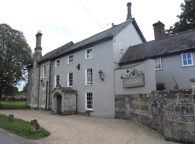
Images are sourced within 2km of 50.923139/-2.0972064 or Grid Reference ST9313. Thanks to Geograph Open Source API. All images are credited.

Castleman Hotel, Chettle The Castleman Hotel was originally Chettle Lodge, the dower house for the surrounding estate. Since 1846 the estate has been owned by the Castleman-Bourke family.
Castleman Hotel, Chettle
The Castleman Hotel was originally Chettle Lodge, the dower house for the surrounding estate. Since 1846 the estate has been owned by the Castleman-Bourke family.
Tarrant Hinton, gate On the path along farmland from Tarrant Gunville to Tarrant Hinton.
Tarrant Hinton, gate
On the path along farmland from Tarrant Gunville to Tarrant Hinton.
Tarrant Hinton, byway The farm road from Tarrant Gunville to North Tarrant Hinton Down.
Tarrant Hinton, byway
The farm road from Tarrant Gunville to North Tarrant Hinton Down.
Tarrant Gunville, gateway C18 gateway, at the southern boundary of Eastbury Park, to Kennels Farmhouse and White Kennels. Listed by Historic England: <span class="nowrap"><a title="http://www.imagesofengland.org.uk/Details/Default.aspx?id=103670&mode=adv" rel="nofollow ugc noopener" href="http://www.imagesofengland.org.uk/Details/Default.aspx?id=103670&mode=adv">Link</a><img style="margin-left:2px;" alt="External link" title="External link - shift click to open in new window" src="https://s1.geograph.org.uk/img/external.png" width="10" height="10"/></span>
Tarrant Gunville, gateway
C18 gateway, at the southern boundary of Eastbury Park, to Kennels Farmhouse and White Kennels. Listed by Historic England: LinkExternal link
Tarrant Hinton, byway Byway and farm road, from Eastbury Farmhouse to Little Wood.
Tarrant Hinton, byway
Byway and farm road, from Eastbury Farmhouse to Little Wood.
Tarrant Hinton, masts Seen from the byway from Little Wood. NGR refers to the nearer mast.
Tarrant Hinton, masts
Seen from the byway from Little Wood. NGR refers to the nearer mast.
Tarrant Hinton, brassicas Oil-seed rape (?).
Tarrant Hinton, brassicas
Oil-seed rape (?).
Tarrant Hinton, byway Open to all traffic; towards Little Wood.
Tarrant Hinton, byway
Open to all traffic; towards Little Wood.
Tarrant Hinton, seedheads Traveller's Joy seedheads (Clematis vitalba), sprawling over an ash tree and scrub, on the byway to the village.
Tarrant Hinton, seedheads
Traveller's Joy seedheads (Clematis vitalba), sprawling over an ash tree and scrub, on the byway to the village.
Tarrant Hinton, byway junction Coming from Tarrant Gunville; left, to Chettle; right, to Tarrant Hinton.
Tarrant Hinton, byway junction
Coming from Tarrant Gunville; left, to Chettle; right, to Tarrant Hinton.
Tarrant Gunville, bridleway From <a href="https://www.geograph.org.uk/photo/4758077">ST9412 : Tarrant Hinton, byway junction</a> to the village. The bridleway also forms part of the Jubilee Trail, and is on the boundary of Tarrant Gunville and Chettle Parishes.
Tarrant Gunville, bridleway
From ST9412 : Tarrant Hinton, byway junction to the village. The bridleway also forms part of the Jubilee Trail, and is on the boundary of Tarrant Gunville and Chettle Parishes.
Chettle, gate The entrance to Little Wood.
Chettle, gate
The entrance to Little Wood.
Chettle, bridleway Leaving woodland for open farmland, on the way around Eastbury Park. This section forms part of Jubilee Trail. <span class="nowrap"><a title="https://www.ldwa.org.uk/ldp/members/show_path.php?path_name=Jubilee+Trail+(Dorset)" rel="nofollow ugc noopener" href="https://www.ldwa.org.uk/ldp/members/show_path.php?path_name=Jubilee+Trail+(Dorset)">Link</a><img style="margin-left:2px;" alt="External link" title="External link - shift click to open in new window" src="https://s1.geograph.org.uk/img/external.png" width="10" height="10"/></span>
Chettle, bridleway
Leaving woodland for open farmland, on the way around Eastbury Park. This section forms part of Jubilee Trail. LinkExternal link
Chettle, brassicas Looking towards Little Wood.
Chettle, brassicas
Looking towards Little Wood.
Chettle, stile At the beginning of the path along farmland to Tarrant Gunville; on the Jubilee Trail: <span class="nowrap"><a title="https://www.ldwa.org.uk/ldp/members/show_path.php?path_name=Jubilee+Trail+(Dorset)" rel="nofollow ugc noopener" href="https://www.ldwa.org.uk/ldp/members/show_path.php?path_name=Jubilee+Trail+(Dorset)">Link</a><img style="margin-left:2px;" alt="External link" title="External link - shift click to open in new window" src="https://s1.geograph.org.uk/img/external.png" width="10" height="10"/></span>
Chettle, stile
At the beginning of the path along farmland to Tarrant Gunville; on the Jubilee Trail: LinkExternal link
Tarrant Gunville, footpath Around Eastbury Park, towards the village; on the Jubilee Trail: <span class="nowrap"><a title="https://www.ldwa.org.uk/ldp/members/show_path.php?path_name=Jubilee+Trail+(Dorset)" rel="nofollow ugc noopener" href="https://www.ldwa.org.uk/ldp/members/show_path.php?path_name=Jubilee+Trail+(Dorset)">Link</a><img style="margin-left:2px;" alt="External link" title="External link - shift click to open in new window" src="https://s1.geograph.org.uk/img/external.png" width="10" height="10"/></span>
Tarrant Gunville, footpath
Around Eastbury Park, towards the village; on the Jubilee Trail: LinkExternal link
Tarrant Gunville, farm road
Tarrant Gunville, mound At first sight, a tumulus; at second, part of a Bronze Age cemetery; but not shown as such by OS, or listed by Historic England. In fact part of an C17 garden for Eastbury House, and shown on a contemporary plan: <span class="nowrap"><a title="http://www.dorsetlife.co.uk/2007/10/a-lost-mansion-of-dorset/" rel="nofollow ugc noopener" href="http://www.dorsetlife.co.uk/2007/10/a-lost-mansion-of-dorset/">Link</a><img style="margin-left:2px;" alt="External link" title="External link - shift click to open in new window" src="https://s1.geograph.org.uk/img/external.png" width="10" height="10"/></span> See also <a href="https://www.geograph.org.uk/photo/4758238">ST9313 : Tarrant Gunville, Solomon's Quarter</a>.
Tarrant Gunville, mound
At first sight, a tumulus; at second, part of a Bronze Age cemetery; but not shown as such by OS, or listed by Historic England. In fact part of an C17 garden for Eastbury House, and shown on a contemporary plan: LinkExternal link See also ST9313 : Tarrant Gunville, Solomon's Quarter.
Show me another place!

Main Down Plantation is located at Grid Ref: ST9313 (Lat: 50.923139, Lng: -2.0972064)

Unitary Authority: Dorset

Police Authority: Dorset

What 3 Words

///washable.tacky.travel. Near Pimperne, Dorset

Related Wikis

Eastbury Park

Eastbury Park was a country estate near Tarrant Gunville in Dorset, England. It contained a large mansion designed by Sir John Vanbrugh. The mansion has...

Tarrant Gunville

Tarrant Gunville is a village and civil parish in north Dorset, England, situated at the head of the Tarrant Valley on Cranborne Chase five miles (eight...

Chettle House

Chettle House is a Grade I listed country manor house with Queen Anne style architecture in Chettle, North Dorset, England, about 6 miles (10 km) northeast...

Chettle

Chettle is a small village and civil parish in the county of Dorset in southern England. It lies 6 miles (10 kilometres) northeast of Blandford Forum....

Nearby Amenities

Located within 500m of 50.923139,-2.0972064
Material: wood
Power: pole
Source: bing
Lat/Long: 50.9190223/-2.097293
Material: wood
Power: pole
Source: bing
Lat/Long: 50.9195329/-2.0958956
Material: wood
Power: pole
Source: bing
Lat/Long: 50.9200419/-2.0945303
Material: wood
Power: pole
Source: bing
Lat/Long: 50.9205373/-2.0931758
Material: wood
Power: pole
Source: bing
Lat/Long: 50.9205424/-2.0947905
Material: wood
Power: pole
Source: bing
Lat/Long: 50.9210294/-2.0918669
Material: wood
Power: pole
Source: bing
Lat/Long: 50.9210987/-2.0950265
Material: wood
Power: pole
Source: bing
Lat/Long: 50.9249401/-2.0978053
Material: wood
Power: pole
Source: bing
Lat/Long: 50.9255065/-2.098669
Material: wood
Power: pole
Source: bing
Lat/Long: 50.9261151/-2.099487
Material: wood
Power: pole
Source: bing
Lat/Long: 50.926717/-2.100289
Power: pole
Source: bing
Lat/Long: 50.9215379/-2.0905419
The data included in this document is from www.openstreetmap.org. The data is made available under ODbL.

Have you been to Main Down Plantation?

Leave your review of Main Down Plantation below (or comments, questions and feedback).