Ash Hill
Hill, Mountain in Gloucestershire Cotswold
England
Ash Hill
Ash Hill is a prominent geological feature located in the county of Gloucestershire, England. Rising to an elevation of approximately 225 meters (738 feet), it is classified as a hill rather than a mountain due to its moderate height. Ash Hill is situated roughly 5 miles northeast of the town of Stroud, in close proximity to the village of Cranham.
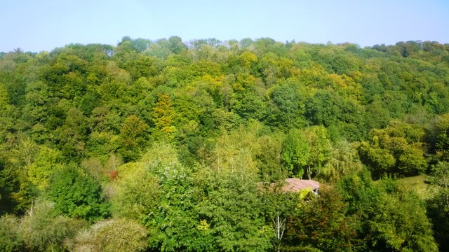
The hill is composed predominantly of limestone, a sedimentary rock formed over millions of years. This geological composition has resulted in the development of several interesting features, including exposed rock formations and natural caves. These caves have attracted the attention of archaeologists and historians, as they have provided valuable insights into human habitation in the region during prehistoric times.
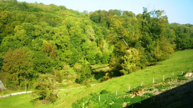
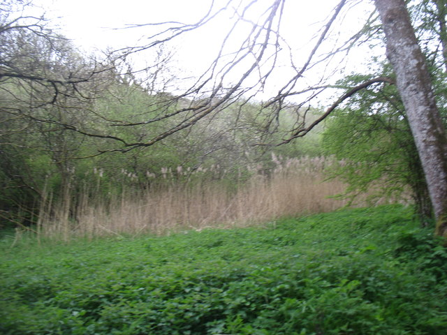
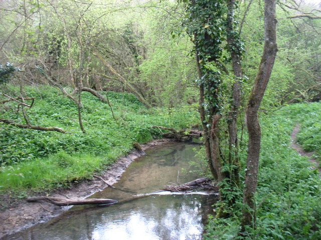
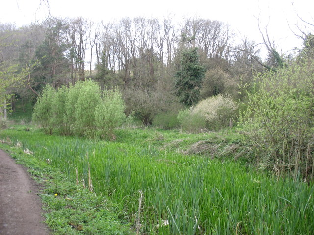
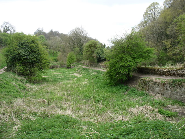
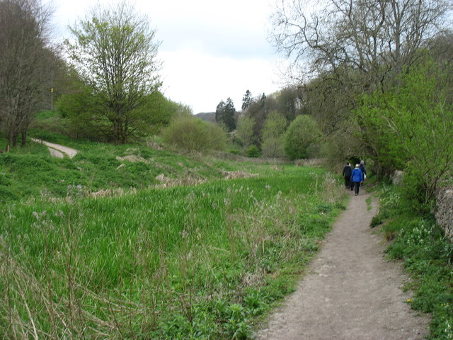
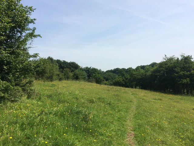
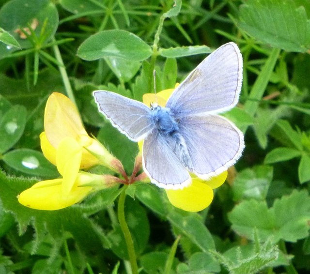
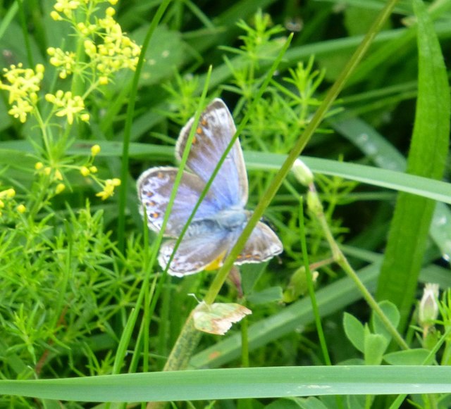
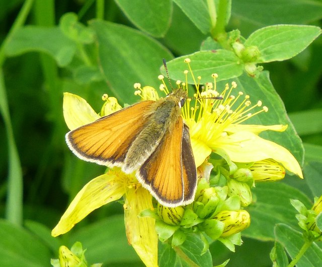
Ash Hill offers stunning panoramic views of the surrounding countryside, with the Cotswold Hills to the east and the Severn Vale to the west. This vantage point has made it a popular destination for outdoor enthusiasts, hikers, and nature lovers. The area is also home to a diverse range of flora and fauna, including a variety of wildflowers, birds, and insects.
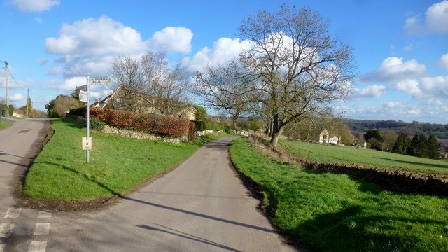
The hill is easily accessible via footpaths and trails, allowing visitors to explore its natural beauty at their own pace. Additionally, there are several nearby attractions, such as Cranham Woods and Painswick Rococo Garden, which further enhance the appeal of Ash Hill as a tourist destination.
If you have any feedback on the listing, please let us know in the comments section below.
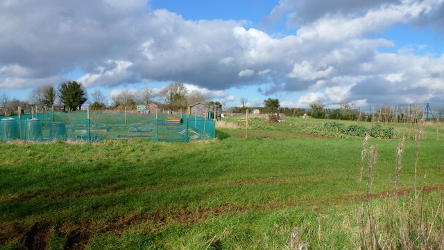
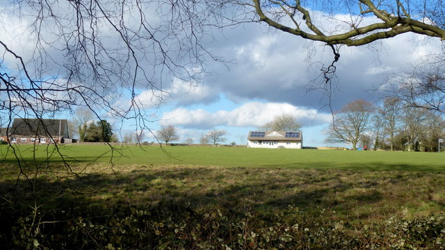
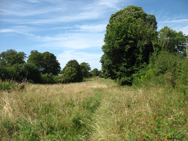
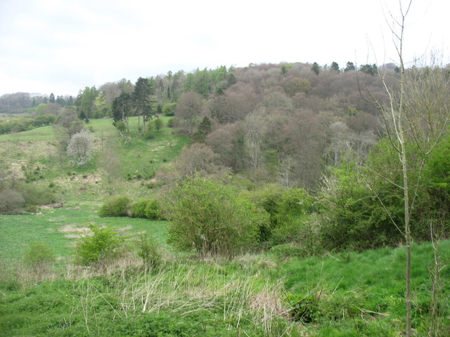
Ash Hill Images
Images are sourced within 2km of 51.719636/-2.0986633 or Grid Reference SO9302. Thanks to Geograph Open Source API. All images are credited.

Ash Hill is located at Grid Ref: SO9302 (Lat: 51.719636, Lng: -2.0986633)
Administrative County: Gloucestershire
District: Cotswold
Police Authority: Gloucestershire
What 3 Words
///quaking.moats.regulator. Near Chalford, Gloucestershire
Nearby Locations
Related Wikis

Sapperton Railway Tunnel
The Sapperton Railway Tunnel is a railway tunnel near Sapperton, Gloucestershire in the United Kingdom. It carries the Golden Valley Line from Stroud to...

Frampton Mansell
Frampton Mansell is a small English village 5 miles (8 km) east-south-east of Stroud, Gloucestershire, in the parish of Sapperton. It lies off the A419...

Daneway Banks SSSI
Daneway Banks (grid reference SO937034) is a 17-hectare (42-acre) biological Site of Special Scientific Interest in Gloucestershire, notified in 1954 and...

Sapperton Valley
Sapperton Valley (grid reference SO935035) is a 3.7-hectare (9.1-acre) nature reserve near Chalford in the Stroud district of Gloucestershire, England...

Siccaridge Wood
Siccaridge Wood (grid reference SO935035) is a 26.6-hectare (66-acre) nature reserve in Gloucestershire. The site is listed in the ‘Stroud District’ Local...

Daneway House
Daneway House is a grade I listed house in the parish of Bisley-with-Lypiatt but close to Sapperton in Gloucestershire, England.The house was built in...

St Kenelm's Church, Sapperton, Gloucestershire
St Kenelm's Church is a historic church in Sapperton, Gloucestershire in the care of The Churches Conservation Trust. It is listed Grade I on the National...

Oakridge, Gloucestershire
Oakridge is a village in Gloucestershire, England. The parish church is St. Bartholomew's Church. It is just on the outskirts of Stroud, Gloucestershire...
Nearby Amenities
Located within 500m of 51.719636,-2.0986633Have you been to Ash Hill?
Leave your review of Ash Hill below (or comments, questions and feedback).