Lee Wood

Wood, Forest in Staffordshire Staffordshire Moorlands

England

Lee Wood

View west from the A523 In the distance is Timersbrook Cloud
View west from the A523 Credit: Eirian Evans

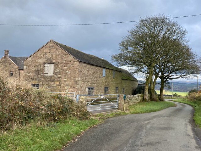
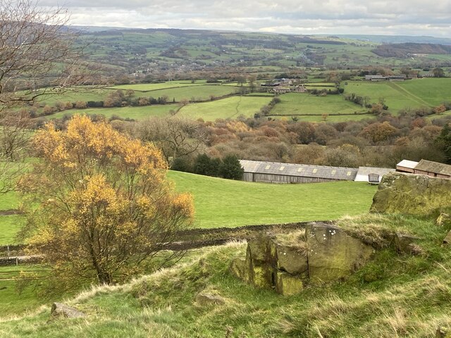
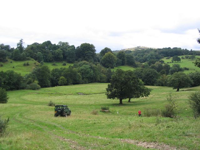
Lee Wood is a charming village located in the county of Staffordshire, England. Nestled within the picturesque Cannock Chase, an Area of Outstanding Natural Beauty, Lee Wood is surrounded by stunning woodland and rolling countryside. The village is situated near the town of Rugeley and is easily accessible by road, being just a short distance from the A51.

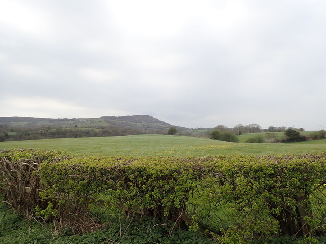
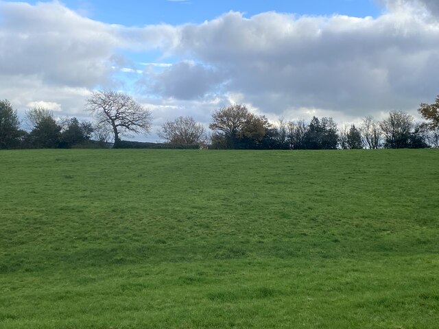
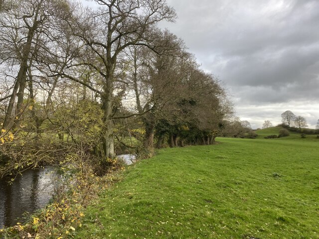
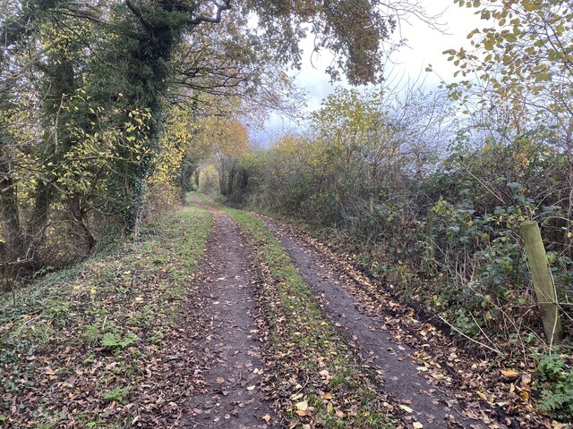
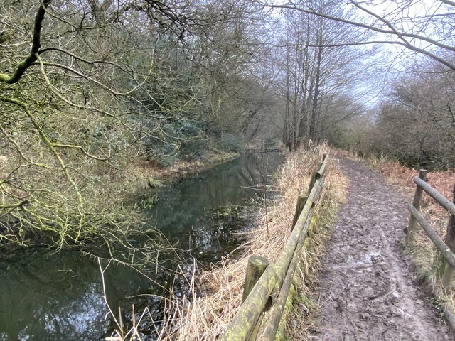
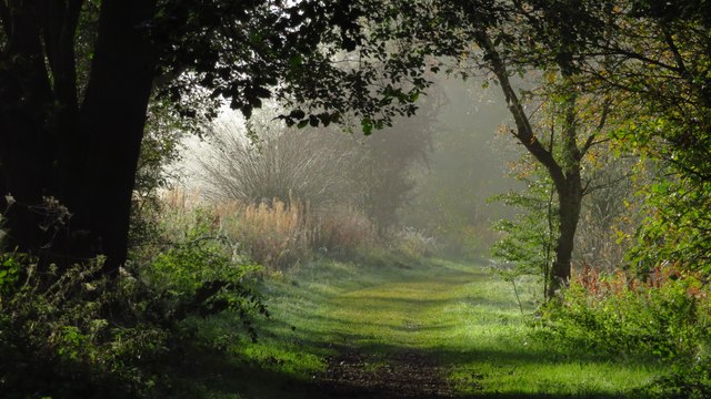
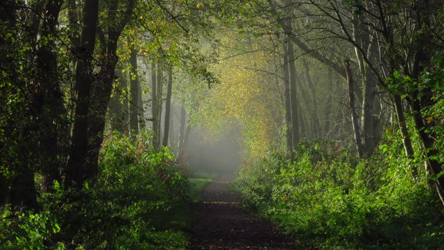
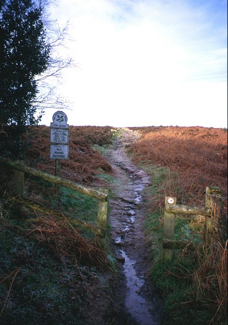
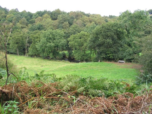
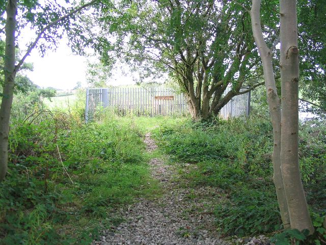
The area is renowned for its tranquil ambiance and natural beauty, making it a popular destination for nature enthusiasts, hikers, and outdoor enthusiasts. Lee Wood boasts a plethora of walking and cycling routes that wind through the lush forests, offering breathtaking views and the opportunity to spot various wildlife species.

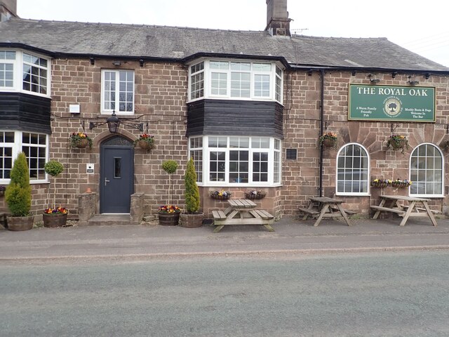
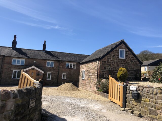
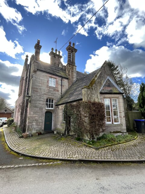
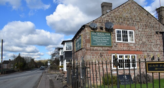
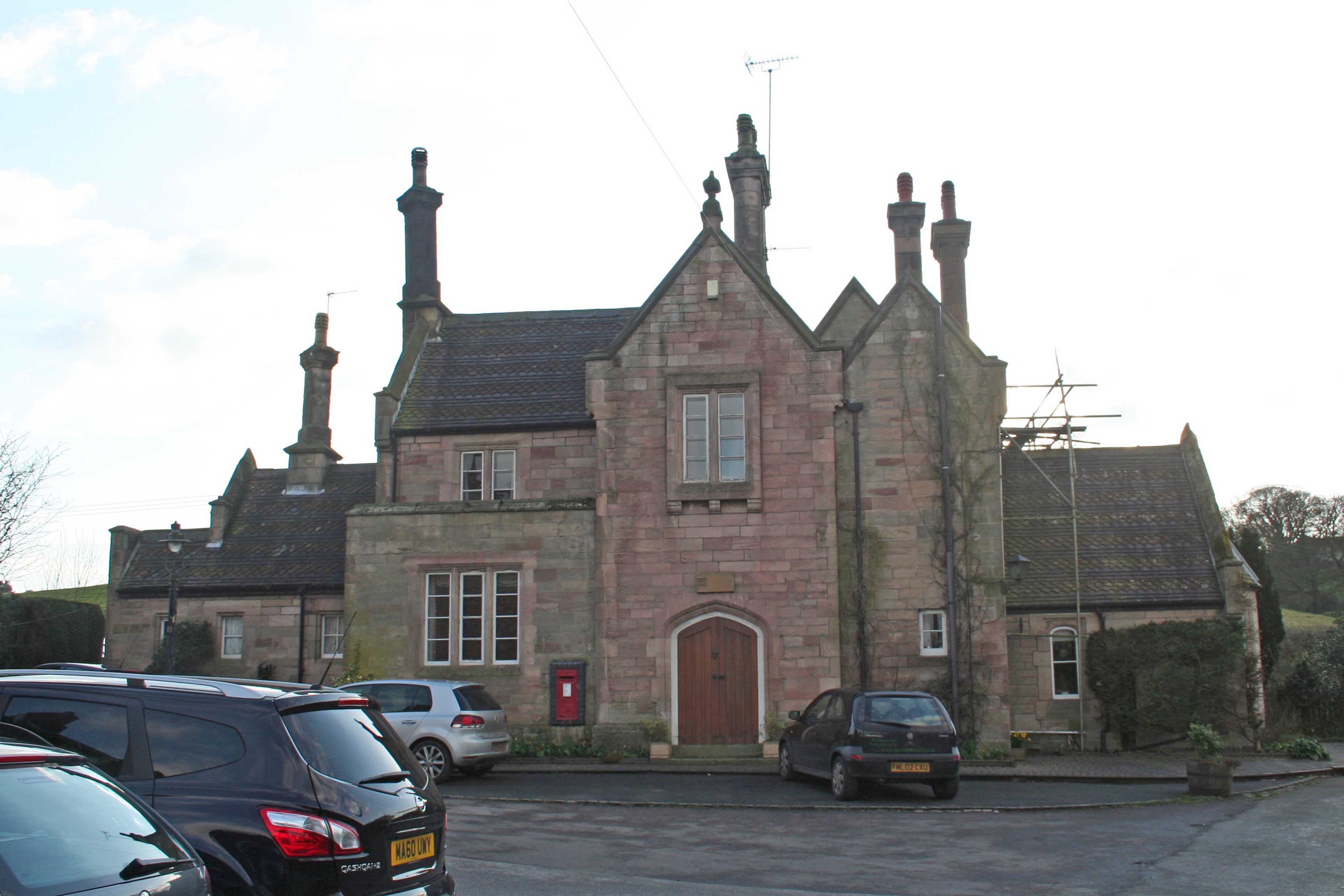
The village itself is small, with a close-knit community that takes pride in its surroundings. It features a handful of quaint cottages and houses, adding to its idyllic charm. Lee Wood is also home to a local pub, where both locals and visitors can enjoy traditional British cuisine and a refreshing pint. The pub often hosts community events and gatherings, fostering a sense of unity among the villagers.

While Lee Wood primarily attracts those seeking a peaceful retreat in nature, it is also conveniently located near several amenities. The nearby town of Rugeley offers a range of shops, supermarkets, and leisure facilities. Additionally, the city of Birmingham is within reasonable driving distance, providing residents with access to a wider range of amenities, cultural attractions, and employment opportunities.

Overall, Lee Wood is a hidden gem in Staffordshire, offering a tranquil escape amidst breathtaking natural surroundings, while still providing residents with easy access to nearby towns and cities.

If you have any feedback on the listing, please let us know in the comments section below.

Lee Wood Images

Images are sourced within 2km of 53.162043/-2.1149299 or Grid Reference SJ9262. Thanks to Geograph Open Source API. All images are credited.

View west from the A523 In the distance is Timersbrook Cloud
View west from the A523
In the distance is Timersbrook Cloud
The Royal Oak, Rushton Spencer
Wolf Lowe Farm
Wolf Lowe Farm
Farm buildings at Woodhouse Green
Empty field Northeast of Woodhouse Green.
Empty field
Northeast of Woodhouse Green.
The Staffordshire bank... ...of the River Dane. Cheshire lies across the water.
The Staffordshire bank...
...of the River Dane. Cheshire lies across the water.
Track above Ravensclough Brook
Cloud Side Farm Almost hidden in a fold of the hills south-east of The Cloud.
Cloud Side Farm
Almost hidden in a fold of the hills south-east of The Cloud.
Muddy Gritstone Trail Following the route of the conduit taking water from the River Dane to Rudyard reservoir.
Muddy Gritstone Trail
Following the route of the conduit taking water from the River Dane to Rudyard reservoir.
The former Rushton Spencer railway station Now a private residence.
The former Rushton Spencer railway station
Now a private residence.
The Royal Oak in Rushden Spencer A community-owned pub.
The Royal Oak in Rushden Spencer
A community-owned pub.
Misty sunlight on railway path north of Ryecroft Gate
Misty sunlight on railway path south of Ryecroft Gate
Bosley Cloud Path up this gritstone Pennine outlier on the Cheshire Staffordshire border. An ideal hill for flying, as demonstrated by the NO-tice.
Bosley Cloud
Path up this gritstone Pennine outlier on the Cheshire Staffordshire border. An ideal hill for flying, as demonstrated by the NO-tice.
Pasture and River Dane This image, taken from SJ-94082-63721, looks from the Dane Valley Way NE across pasture towards the river Dane.
Pasture and River Dane
This image, taken from SJ-94082-63721, looks from the Dane Valley Way NE across pasture towards the river Dane.
Footbridge This picture was taken from SJ9376463697 looking SW along the Dane Valley Way/Gritstone trail. A footbridge crossing the shallow canal (Conduit) is the main subject.
Footbridge
This picture was taken from SJ9376463697 looking SW along the Dane Valley Way/Gritstone trail. A footbridge crossing the shallow canal (Conduit) is the main subject.
Pasture This picture taken from SJ9358763593 looks across pasture to the tree line which marks the route of the River Dane. The picture was taken looking NW from the Dane Valley Way/Gritstone Trail.
Pasture
This picture taken from SJ9358763593 looks across pasture to the tree line which marks the route of the River Dane. The picture was taken looking NW from the Dane Valley Way/Gritstone Trail.
The end of the line This is the end of the footpath that follows the route of the old railway line. It stops at the River Dane. The footpath is part of the Staffordshire Way which heads west from this point.
The end of the line
This is the end of the footpath that follows the route of the old railway line. It stops at the River Dane. The footpath is part of the Staffordshire Way which heads west from this point.
Show me another place!

Lee Wood is located at Grid Ref: SJ9262 (Lat: 53.162043, Lng: -2.1149299)

Administrative County: Staffordshire

District: Staffordshire Moorlands

Police Authority: Staffordshire

What 3 Words

///banks.fluffed.splendid. Near Eaton, Cheshire

Related Wikis

Rushton railway station

Rushton Spencer railway station was a railway station that served the village of Rushton Spencer, Staffordshire. The station was opened by the North Staffordshire...

Rushton, Staffordshire

Rushton is a civil parish in Staffordshire, England. The village within the civil parish, usually known as Rushton Spencer, is about 4 miles (6.4 km) north...

The Bridestones

The Bridestones is a chambered cairn, near Congleton, Cheshire, England, that was constructed in the Neolithic period about 3500–2400 BC. It was described...

The Cloud (hill)

The Cloud or Bosley Cloud is a prominent hill on the border between Cheshire and Staffordshire a couple of miles west of the Peak District National Park...

Nearby Amenities

Located within 500m of 53.162043,-2.1149299
Power: tower
Lat/Long: 53.1616777/-2.1218357
Power: pole
Lat/Long: 53.1637164/-2.1079865
Power: pole
Lat/Long: 53.1650264/-2.1094168
The data included in this document is from www.openstreetmap.org. The data is made available under ODbL.

Have you been to Lee Wood?

Leave your review of Lee Wood below (or comments, questions and feedback).