Oulton Wood
Wood, Forest in Staffordshire Staffordshire Moorlands
England
Oulton Wood
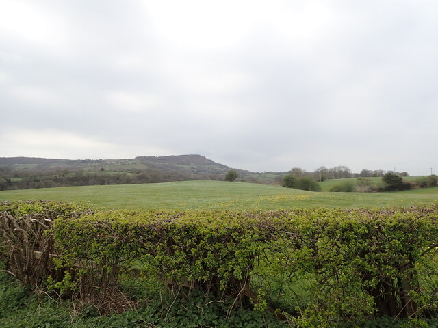
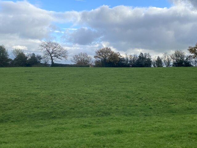
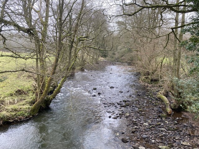
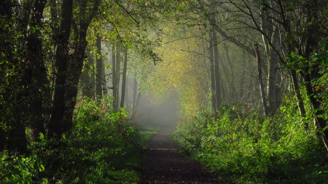
Oulton Wood is a picturesque woodland located in Staffordshire, England. Covering an area of approximately 30 acres, it is nestled in the heart of the Staffordshire countryside, providing a serene and tranquil setting for nature lovers and outdoor enthusiasts alike.
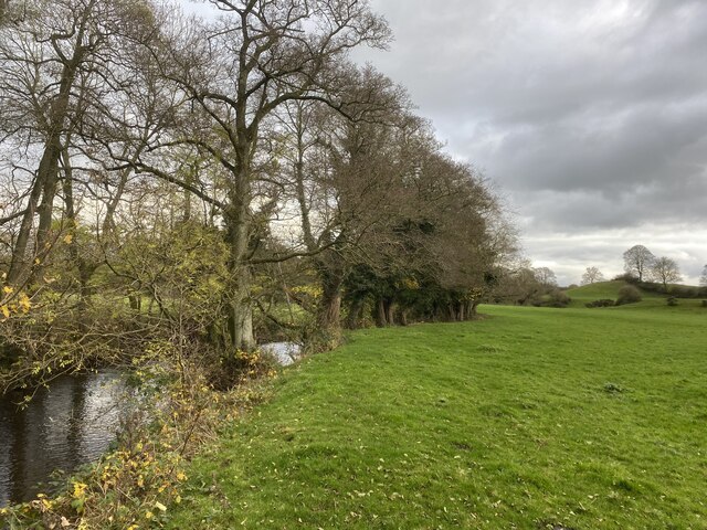
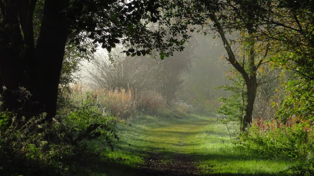
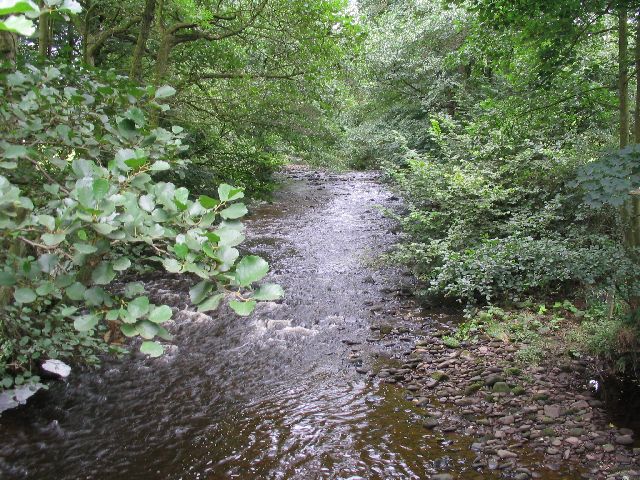
The wood is predominantly composed of broadleaf trees, including oak, beech, and birch, which create a vibrant and diverse ecosystem. The dense canopy provides shade and shelter for a wide array of wildlife, making it a perfect habitat for various bird species, mammals, and insects. Nature enthusiasts can spot birds such as woodpeckers, owls, and thrushes, while lucky visitors might even catch a glimpse of deer and foxes roaming through the undergrowth.
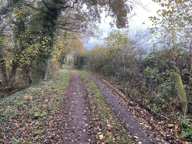
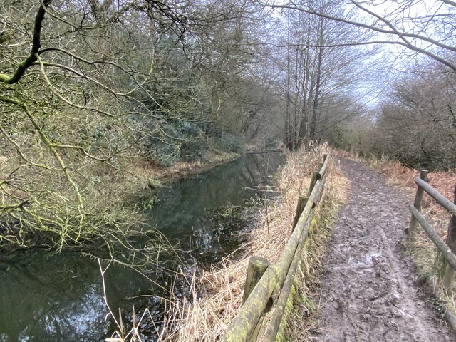
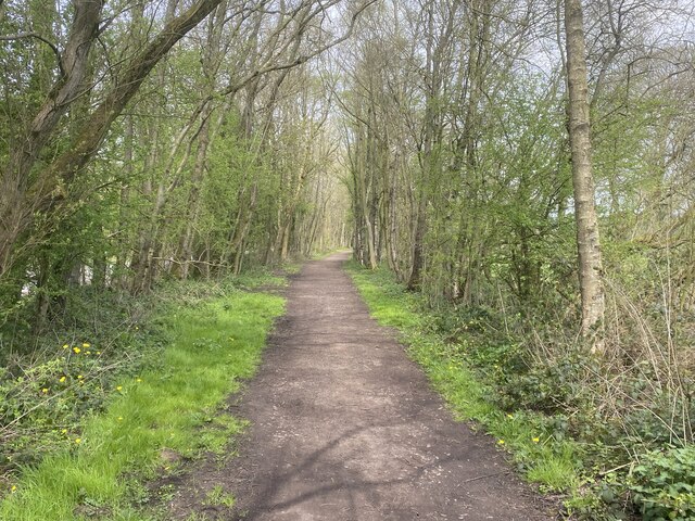
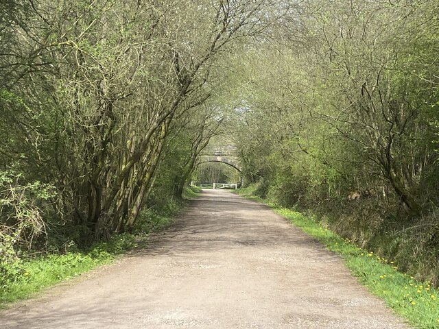
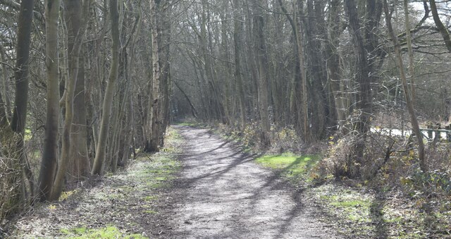
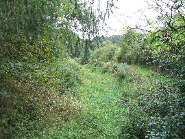
The woodland is crisscrossed by a network of well-maintained footpaths, allowing visitors to explore the natural beauty at their own pace. These trails lead visitors through enchanting glades, across babbling brooks, and up gentle inclines, offering breathtaking views of the surrounding countryside.
Oulton Wood is not only a haven for wildlife but also a popular destination for recreational activities. It offers opportunities for walking, jogging, and cycling, attracting visitors of all ages and fitness levels. Families often visit the wood for picnics, while nature lovers can indulge in photography or simply find solace in the tranquility of the surroundings.
Overall, Oulton Wood is a cherished natural gem in Staffordshire, offering a peaceful retreat to reconnect with nature and enjoy the beauty of the British countryside.
If you have any feedback on the listing, please let us know in the comments section below.
Oulton Wood Images
Images are sourced within 2km of 53.160412/-2.1095713 or Grid Reference SJ9262. Thanks to Geograph Open Source API. All images are credited.
Oulton Wood is located at Grid Ref: SJ9262 (Lat: 53.160412, Lng: -2.1095713)
Administrative County: Staffordshire
District: Staffordshire Moorlands
Police Authority: Staffordshire
What 3 Words
///earlobes.contents.cubs. Near Eaton, Cheshire
Nearby Locations
Related Wikis
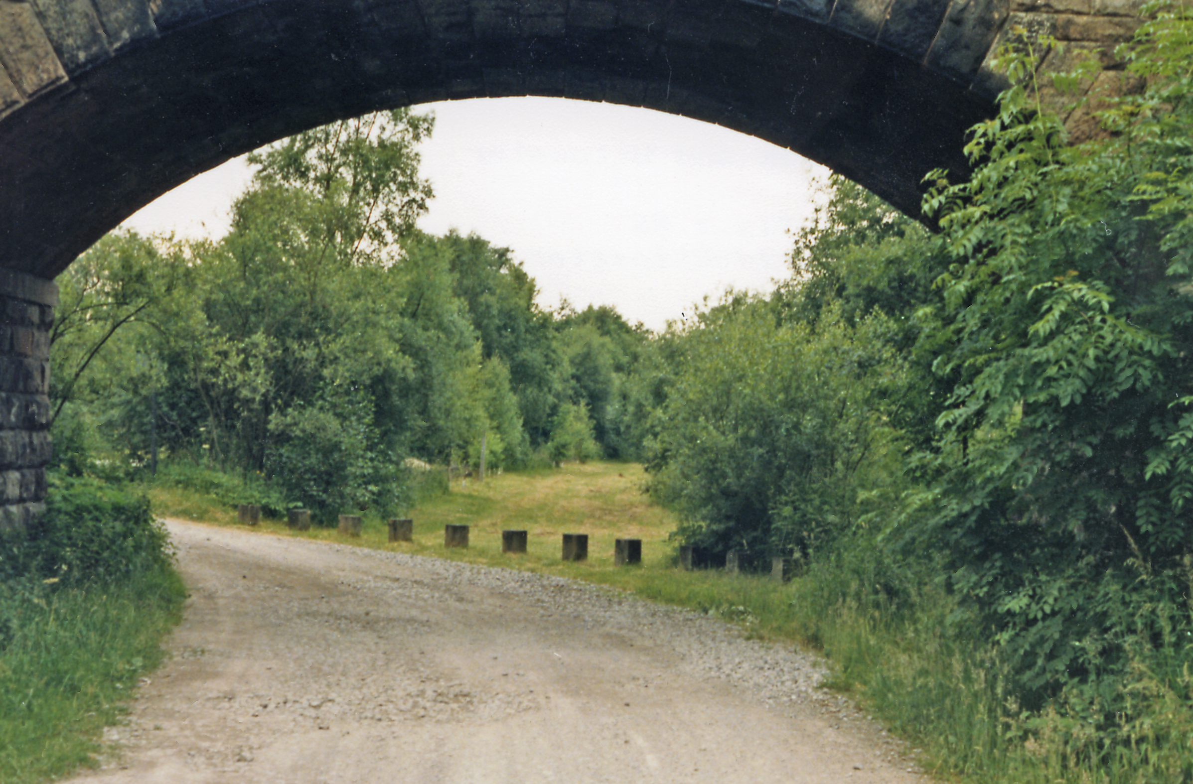
Rushton railway station
Rushton Spencer railway station was a railway station that served the village of Rushton Spencer, Staffordshire. The station was opened by the North Staffordshire...

Rushton, Staffordshire
Rushton is a civil parish in Staffordshire, England. The village within the civil parish, usually known as Rushton Spencer, is about 4 miles (6.4 km) north...
Cliffe Park railway station
Cliffe Park railway station was opened by the North Staffordshire Railway (NSR) in 1905 on the Churnet Valley line to attract visitors to Rudyard Lake...

The Bridestones
The Bridestones is a chambered cairn, near Congleton, Cheshire, England, that was constructed in the Neolithic period about 3500–2400 BC. It was described...
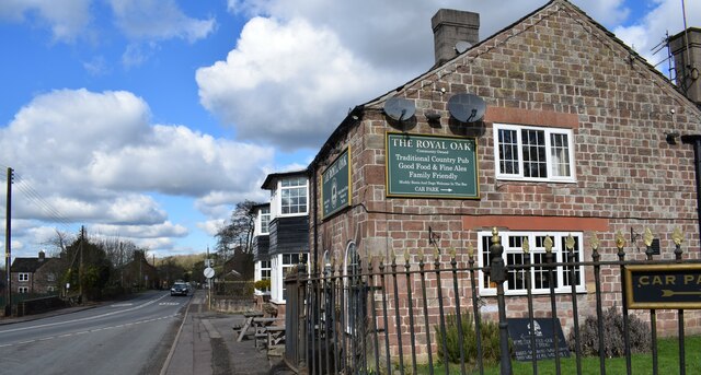
Nearby Amenities
Located within 500m of 53.160412,-2.1095713Have you been to Oulton Wood?
Leave your review of Oulton Wood below (or comments, questions and feedback).