Long Plantation

Wood, Forest in Dorset

England

Long Plantation

A354 turnoff for Tarrant Launceston
A354 turnoff for Tarrant Launceston Credit: Paul Barnett

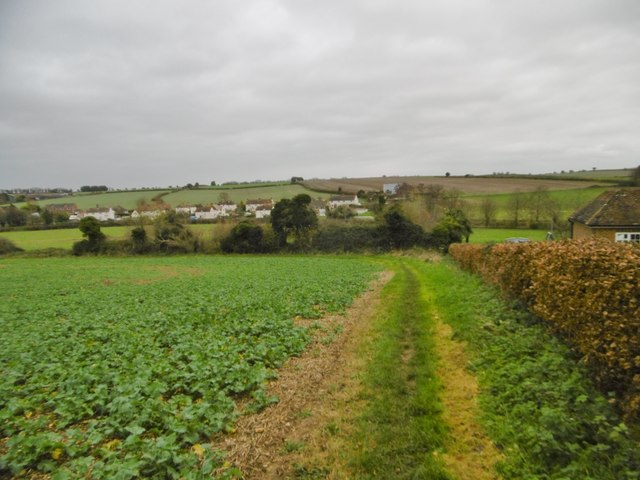
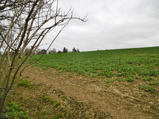
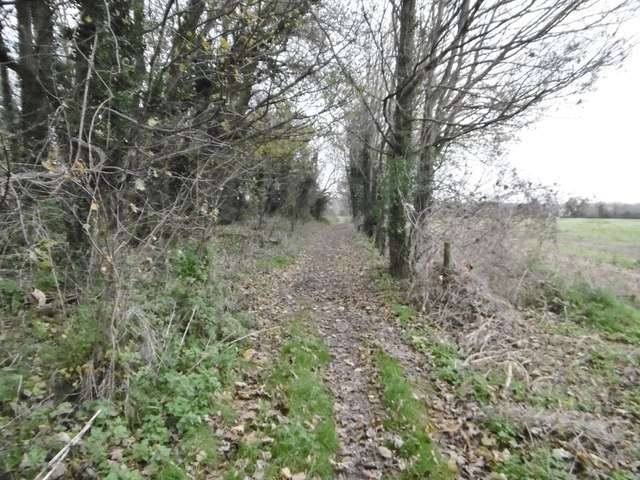
Long Plantation is a picturesque woodland located in the county of Dorset, England. Situated in the heart of the county, it spans over a vast area of approximately 500 acres. The plantation is well-known for its dense collection of trees, making it a popular destination for nature enthusiasts and outdoor enthusiasts alike.

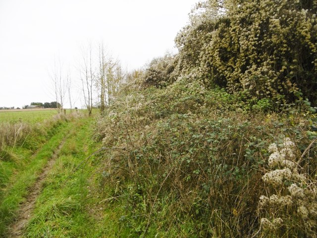
The woodland is primarily made up of native British tree species, including oak, beech, and ash, which create a diverse and vibrant ecosystem. The canopy formed by these tall trees provides a cool and shaded atmosphere, perfect for long walks or picnics on hot summer days. The forest floor is adorned with a carpet of bluebells and wildflowers during the spring, adding to the enchanting beauty of the area.

Long Plantation is also home to a wide variety of wildlife. Birdwatchers can spot species such as woodpeckers, owls, and various songbirds amongst the treetops, while small mammals like squirrels and foxes can be seen scurrying through the undergrowth. The plantation also supports a rich insect population, with butterflies and bees fluttering from flower to flower.

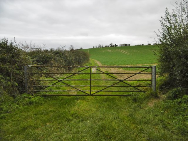
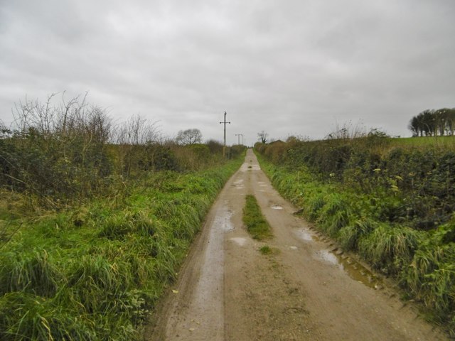
The woodland offers a network of well-maintained footpaths, allowing visitors to explore the plantation at their own pace. It is a tranquil haven away from the hustle and bustle of city life, providing a peaceful retreat for those seeking solace in nature. Long Plantation is a true gem in Dorset, offering a harmonious blend of natural beauty and wildlife diversity.

If you have any feedback on the listing, please let us know in the comments section below.

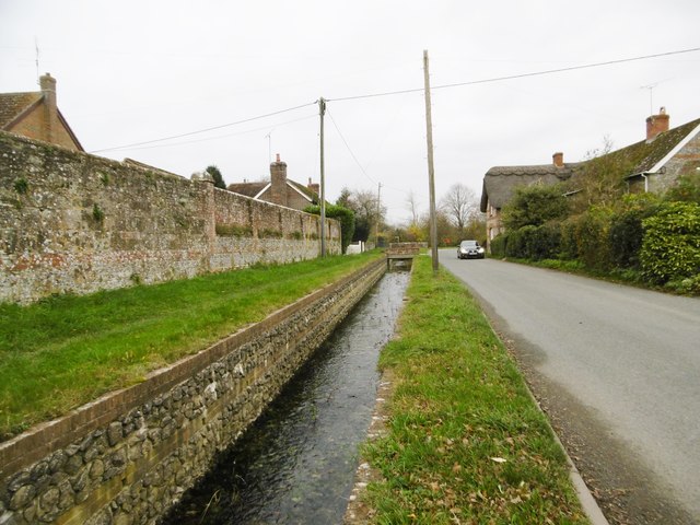
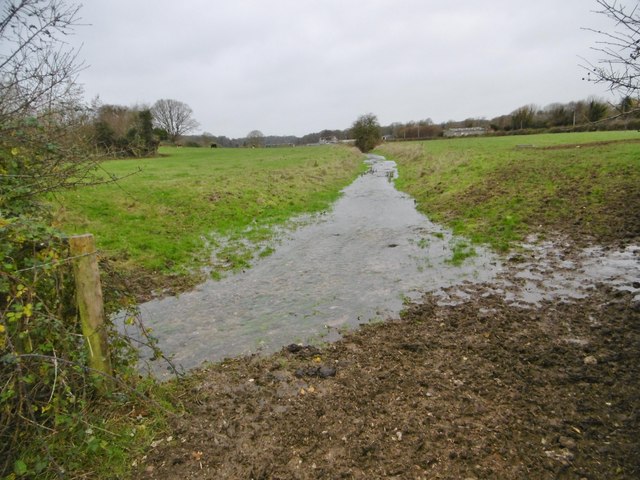
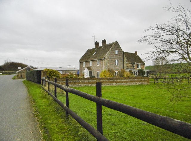
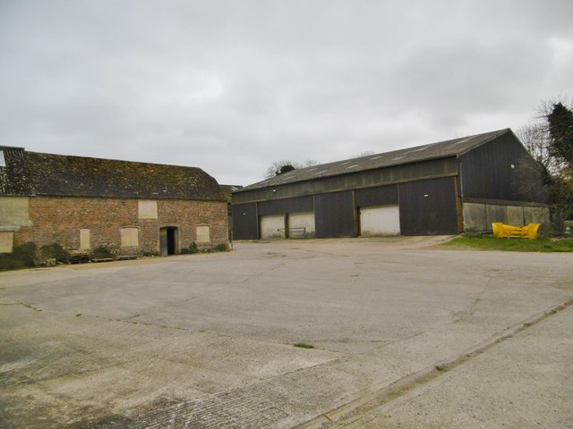
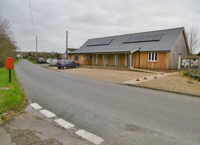
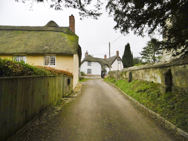
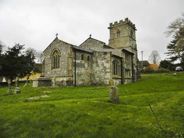
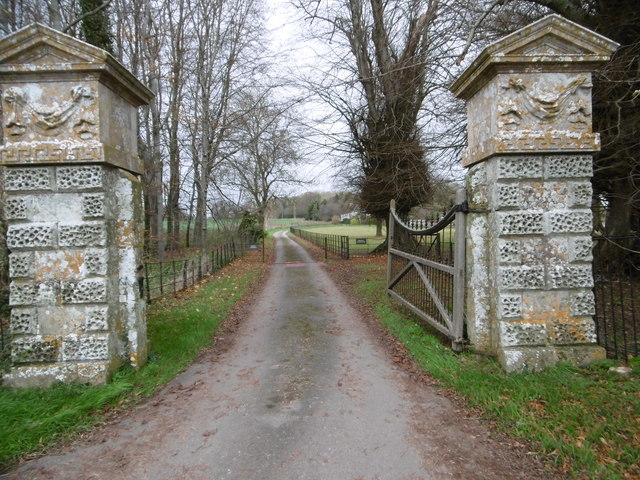
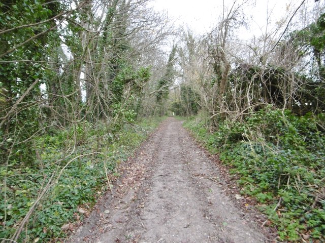
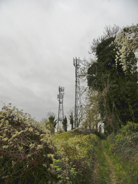
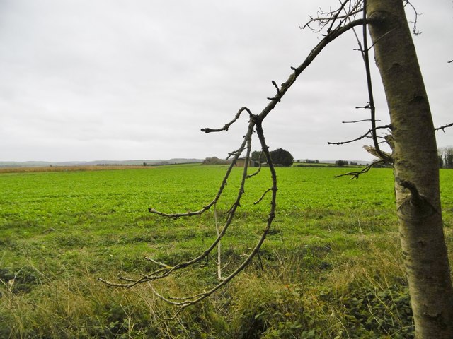
Long Plantation Images

Images are sourced within 2km of 50.907522/-2.1042139 or Grid Reference ST9212. Thanks to Geograph Open Source API. All images are credited.

A354 turnoff for Tarrant Launceston
Tarrant Hinton, the Tarrant Looking upstream at a chalk stream that rises in Tarrant Gunville, and joins River Stour to the South. In the village, the river has been culverted, presumably as an anti-flood measure. See also <a href="https://www.geograph.org.uk/photo/4758003">ST9311 : Tarrant Hinton, the Tarrant</a>.
Tarrant Hinton, the Tarrant
Looking upstream at a chalk stream that rises in Tarrant Gunville, and joins River Stour to the South. In the village, the river has been culverted, presumably as an anti-flood measure. See also ST9311 : Tarrant Hinton, the Tarrant.
Tarrant Hinton, the Tarrant Looking upstream at a chalk stream that rises in Tarrant Gunville, and joins River Stour to the South. North of the village, the river has a more natural flow than at <a href="https://www.geograph.org.uk/photo/4757997">ST9311 : Tarrant Hinton, the Tarrant</a>, through farmland.
Tarrant Hinton, the Tarrant
Looking upstream at a chalk stream that rises in Tarrant Gunville, and joins River Stour to the South. North of the village, the river has a more natural flow than at ST9311 : Tarrant Hinton, the Tarrant, through farmland.
Tarrant Hinton, Meadow House Formerly North Farmhouse, now a B&B.
Tarrant Hinton, Meadow House
Formerly North Farmhouse, now a B&B.
Tarrant Hinton, North Farm
Tarrant Hinton Village Hall
Tarrant Hinton, Cobb Cottage Thatched cottage at the top of the lane from the village street, opposite the parish church. Listed by Historic England (Grade II): <span class="nowrap"><a title="http://www.imagesofengland.org.uk/Details/Default.aspx?id=103694&mode=adv" rel="nofollow ugc noopener" href="http://www.imagesofengland.org.uk/Details/Default.aspx?id=103694&mode=adv">Link</a><img style="margin-left:2px;" alt="External link" title="External link - shift click to open in new window" src="https://s1.geograph.org.uk/img/external.png" width="10" height="10"/></span>
Tarrant Hinton, Cobb Cottage
Thatched cottage at the top of the lane from the village street, opposite the parish church. Listed by Historic England (Grade II): LinkExternal link
Tarrant Hinton, St. Mary's Parish church dating from C14; listed by Historic England (Grade I); <span class="nowrap"><a title="http://www.imagesofengland.org.uk/Details/Default.aspx?id=103691&mode=adv" rel="nofollow ugc noopener" href="http://www.imagesofengland.org.uk/Details/Default.aspx?id=103691&mode=adv">Link</a><img style="margin-left:2px;" alt="External link" title="External link - shift click to open in new window" src="https://s1.geograph.org.uk/img/external.png" width="10" height="10"/></span>
Tarrant Hinton, St. Mary's
Parish church dating from C14; listed by Historic England (Grade I); LinkExternal link
Tarrant Hinton, footpath From St. Mary's to Tarrant Gunville; turn left at the field boundary, and follow the Tarrant valley.
Tarrant Hinton, footpath
From St. Mary's to Tarrant Gunville; turn left at the field boundary, and follow the Tarrant valley.
Tarrant Hinton, brassicas Oil-seed rape (?) cultivated on the slopes of High Lea Hill.
Tarrant Hinton, brassicas
Oil-seed rape (?) cultivated on the slopes of High Lea Hill.
Tarrant Hinton, gate On the path along farmland from Tarrant Gunville to Tarrant Hinton.
Tarrant Hinton, gate
On the path along farmland from Tarrant Gunville to Tarrant Hinton.
Tarrant Hinton, byway The farm road from Tarrant Gunville to North Tarrant Hinton Down.
Tarrant Hinton, byway
The farm road from Tarrant Gunville to North Tarrant Hinton Down.
Tarrant Gunville, gateway C18 gateway, at the southern boundary of Eastbury Park, to Kennels Farmhouse and White Kennels. Listed by Historic England: <span class="nowrap"><a title="http://www.imagesofengland.org.uk/Details/Default.aspx?id=103670&mode=adv" rel="nofollow ugc noopener" href="http://www.imagesofengland.org.uk/Details/Default.aspx?id=103670&mode=adv">Link</a><img style="margin-left:2px;" alt="External link" title="External link - shift click to open in new window" src="https://s1.geograph.org.uk/img/external.png" width="10" height="10"/></span>
Tarrant Gunville, gateway
C18 gateway, at the southern boundary of Eastbury Park, to Kennels Farmhouse and White Kennels. Listed by Historic England: LinkExternal link
Tarrant Hinton, byway Byway and farm road, from Eastbury Farmhouse to Little Wood.
Tarrant Hinton, byway
Byway and farm road, from Eastbury Farmhouse to Little Wood.
Tarrant Hinton, masts Seen from the byway from Little Wood. NGR refers to the nearer mast.
Tarrant Hinton, masts
Seen from the byway from Little Wood. NGR refers to the nearer mast.
Tarrant Hinton, brassicas Oil-seed rape (?).
Tarrant Hinton, brassicas
Oil-seed rape (?).
Tarrant Hinton, byway Open to all traffic; towards Little Wood.
Tarrant Hinton, byway
Open to all traffic; towards Little Wood.
Tarrant Hinton, seedheads Traveller's Joy seedheads (Clematis vitalba), sprawling over an ash tree and scrub, on the byway to the village.
Tarrant Hinton, seedheads
Traveller's Joy seedheads (Clematis vitalba), sprawling over an ash tree and scrub, on the byway to the village.
Show me another place!

Long Plantation is located at Grid Ref: ST9212 (Lat: 50.907522, Lng: -2.1042139)

Unitary Authority: Dorset

Police Authority: Dorset

What 3 Words

///valid.whispers.sniff. Near Pimperne, Dorset

Related Wikis

Eastbury Park

Eastbury Park was a country estate near Tarrant Gunville in Dorset, England. It contained a large mansion designed by Sir John Vanbrugh. The mansion has...
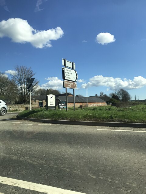
Tarrant Gunville

Tarrant Gunville is a village and civil parish in north Dorset, England, situated at the head of the Tarrant Valley on Cranborne Chase five miles (eight...

Tarrant Hinton

Tarrant Hinton is a village and civil parish in the county of Dorset in southern England. It is situated in the Tarrant Valley, approximately five miles...

Great Dorset Steam Fair

The Great Dorset Steam Fair (abbreviated GDSF, and since 2010 also known as The National Heritage Show) is an annual show featuring steam-powered vehicles...

Nearby Amenities

Located within 500m of 50.907522,-2.1042139
Material: wood
Power: pole
Source: bing
Transformer: distribution
Lat/Long: 50.9049907/-2.1036337
Material: wood
Power: pole
Source: bing
Lat/Long: 50.9050499/-2.0991518
Material: wood
Power: pole
Source: bing
Lat/Long: 50.9053306/-2.1025367
Material: wood
Power: pole
Source: bing
Lat/Long: 50.9056452/-2.101665
Material: wood
Power: pole
Source: bing
Lat/Long: 50.9057484/-2.0998035
Material: wood
Power: pole
Source: bing
Lat/Long: 50.9059125/-2.1009328
Material: wood
Power: pole
Source: bing
Lat/Long: 50.9062017/-2.1001817
Material: wood
Power: pole
Source: bing
Lat/Long: 50.9064503/-2.1004231
Material: wood
Power: pole
Source: bing
Lat/Long: 50.9068833/-2.0997258
Material: wood
Power: pole
Source: bing
Transformer: distribution
Lat/Long: 50.9072182/-2.099184
Material: wood
Power: pole
Source: bing
Lat/Long: 50.9072503/-2.0987548
Material: wood
Power: pole
Source: bing
Lat/Long: 50.9089197/-2.0979126
Material: wood
Power: pole
Source: bing
Lat/Long: 50.9094034/-2.0978938
Post Box
Post Box Type: lamp
Ref: DT11 54
Ref GB Uprn: 10015303159
Royal Cypher: EIIR
Royal Cypher Wikidata: Q33102113
Lat/Long: 50.9072628/-2.0984495
The data included in this document is from www.openstreetmap.org. The data is made available under ODbL.

Have you been to Long Plantation?

Leave your review of Long Plantation below (or comments, questions and feedback).