Rushton
Civil Parish in Staffordshire Staffordshire Moorlands
England
Rushton
Rushton is a civil parish located in Staffordshire, England. It is situated in the borough of Staffordshire Moorlands and is approximately 6 miles southeast of the town of Leek. The parish covers an area of about 8 square miles and has a population of around 1,200 residents.
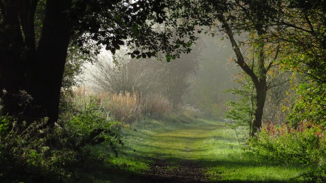
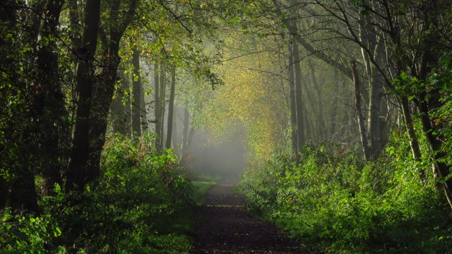
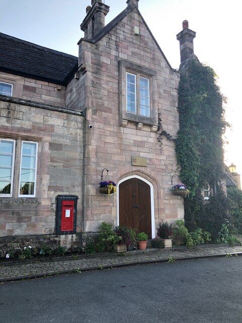
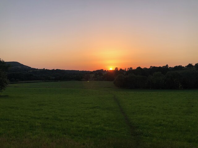
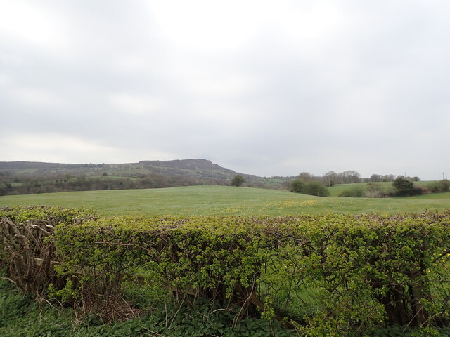
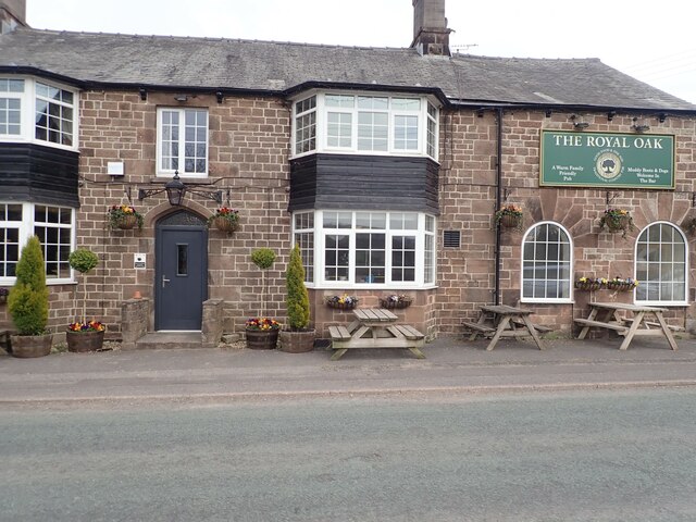
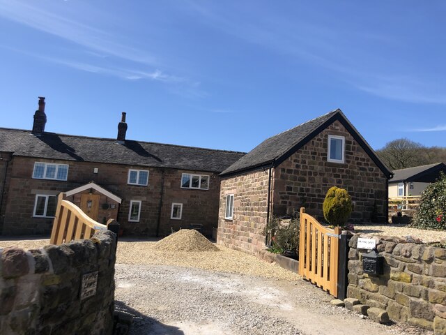
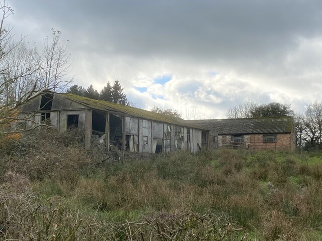
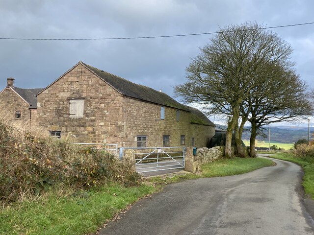
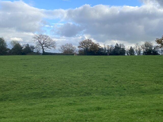
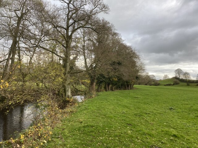
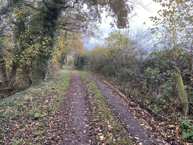
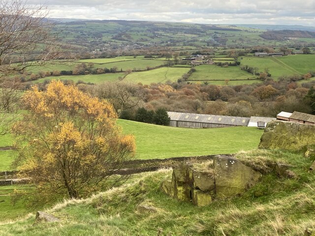
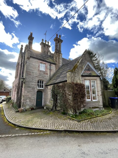
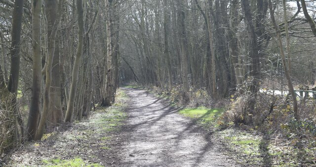
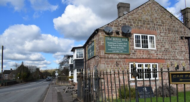
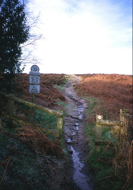
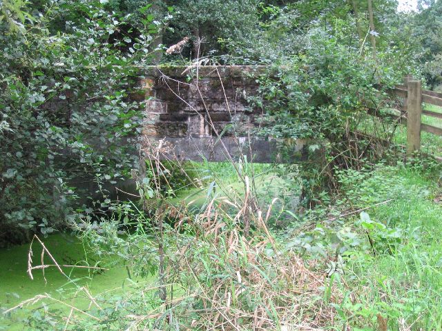
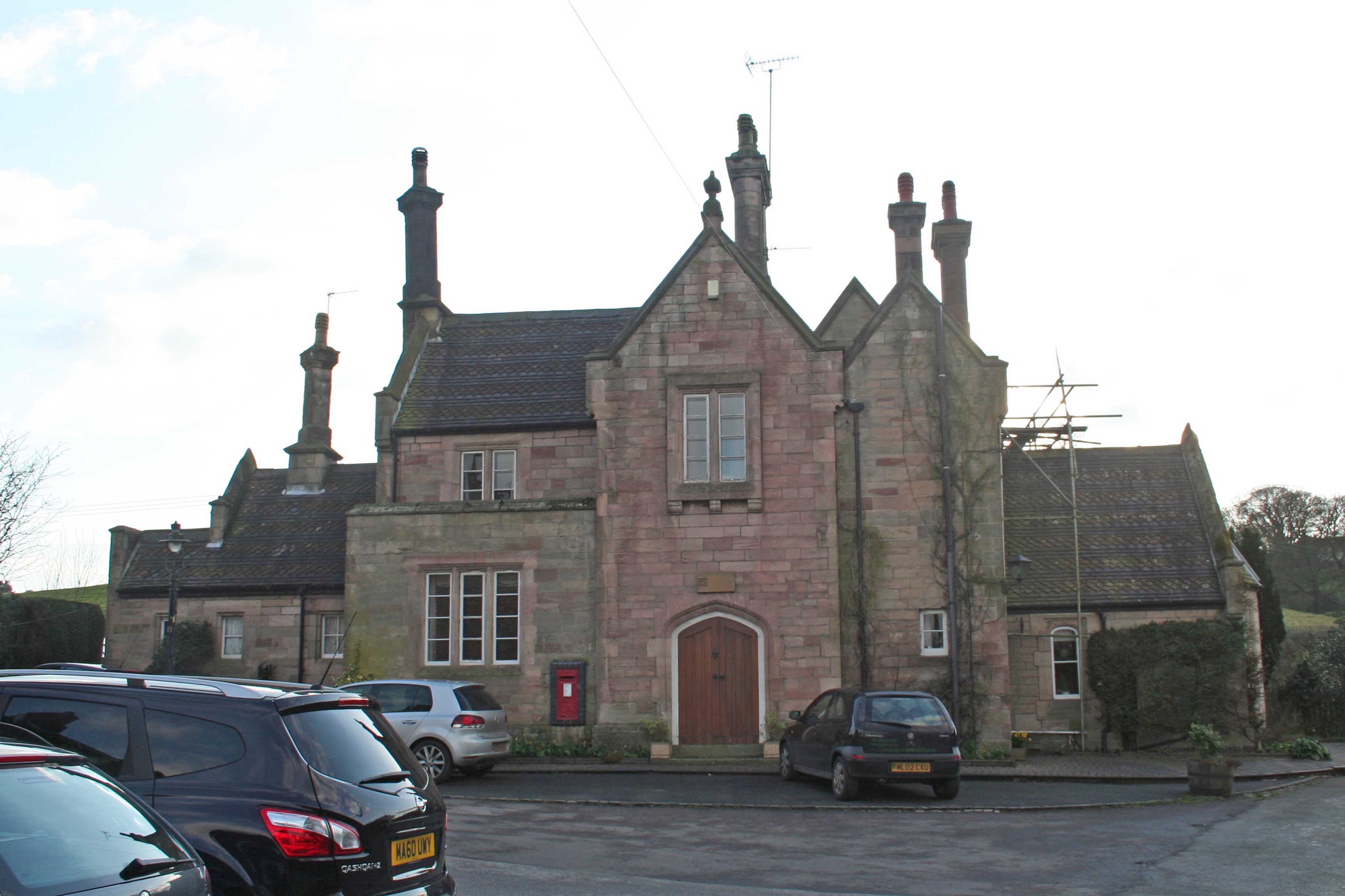
The village of Rushton is characterized by its picturesque rural setting, with rolling hills, open fields, and charming countryside views. It is surrounded by farmland and is known for its agricultural heritage. The village itself consists of a cluster of houses, a village hall, and a local pub, which serves as a social hub for the community.
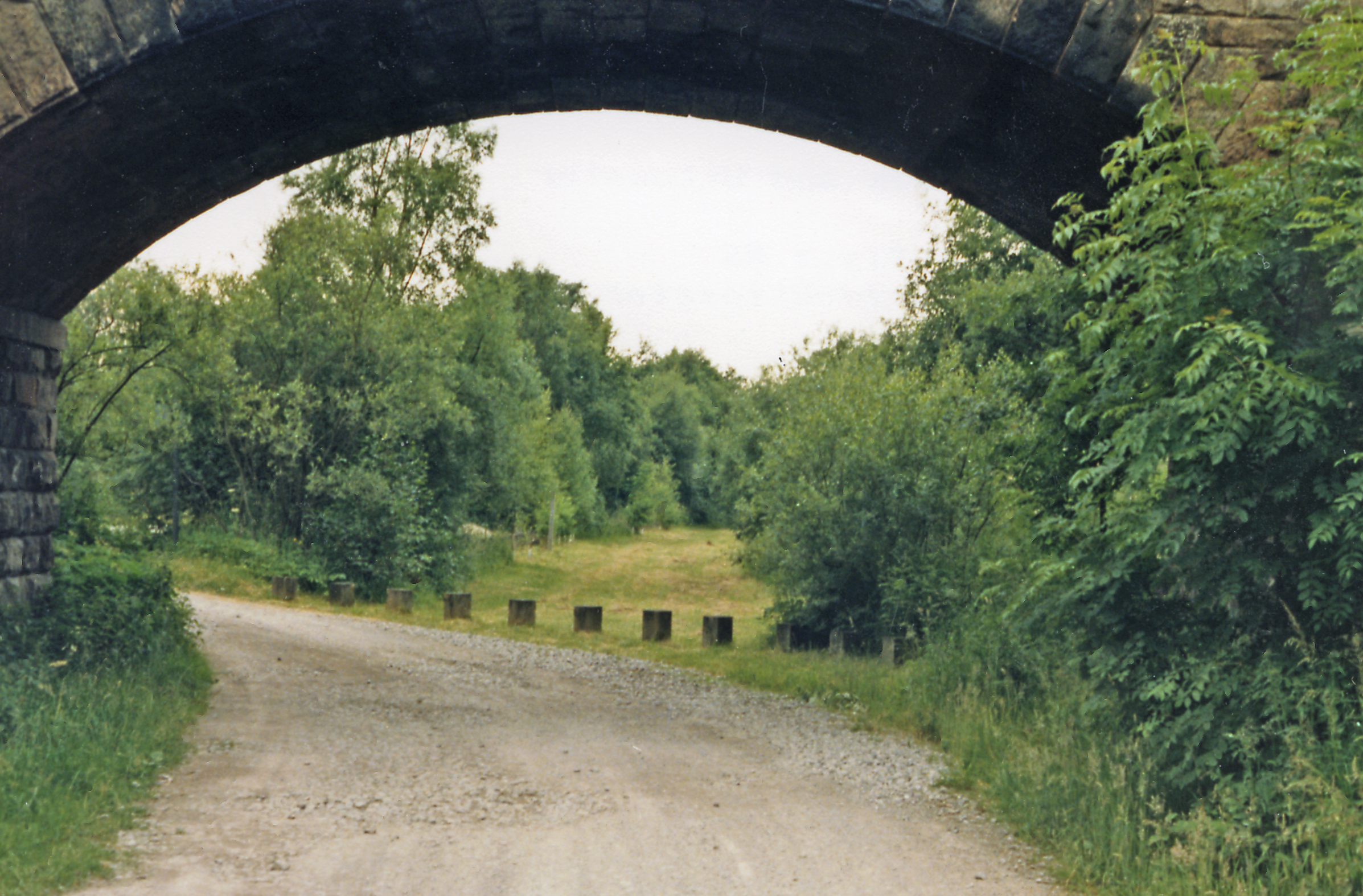
Historically, Rushton was a mining village, with coal mining being a significant industry in the area. However, the last mine closed in the mid-20th century, and today, the village has transitioned into a predominantly residential area, with many residents commuting to nearby towns and cities for work.
Despite its small size, Rushton is well-connected, with good transport links to neighboring towns and villages. The A523 road runs through the parish, providing easy access to Leek and the nearby market towns of Cheadle and Ashbourne. The village is also served by a local bus service, connecting residents to the wider area.
Rushton is known for its community spirit, with various events and activities organized throughout the year, including a popular summer fete and Christmas market. The village enjoys a peaceful and idyllic setting, making it an attractive place to live for those seeking a quieter rural lifestyle in the heart of Staffordshire.
If you have any feedback on the listing, please let us know in the comments section below.
Rushton Images
Images are sourced within 2km of 53.157315/-2.117649 or Grid Reference SJ9262. Thanks to Geograph Open Source API. All images are credited.
Rushton is located at Grid Ref: SJ9262 (Lat: 53.157315, Lng: -2.117649)
Administrative County: Staffordshire
District: Staffordshire Moorlands
Police Authority: Staffordshire
What 3 Words
///artist.order.skinning. Near Biddulph, Staffordshire
Nearby Locations
Related Wikis
Rushton railway station
Rushton Spencer railway station was a railway station that served the village of Rushton Spencer, Staffordshire. The station was opened by the North Staffordshire...

The Bridestones
The Bridestones is a chambered cairn, near Congleton, Cheshire, England, that was constructed in the Neolithic period about 3500–2400 BC. It was described...

Rushton, Staffordshire
Rushton is a civil parish in Staffordshire, England. The village within the civil parish, usually known as Rushton Spencer, is about 4 miles (6.4 km) north...
Cliffe Park railway station
Cliffe Park railway station was opened by the North Staffordshire Railway (NSR) in 1905 on the Churnet Valley line to attract visitors to Rudyard Lake...

The Cloud (hill)
The Cloud or Bosley Cloud is a prominent hill on the border between Cheshire and Staffordshire a couple of miles west of the Peak District National Park...

Gritstone Trail
The Gritstone Trail, or Cheshire Gritstone Trail, is a 35-mile (56 km) long-distance footpath in England which follows the most westerly hills of the Peak...

Timbersbrook
Timbersbrook is a small village in the town parish of Congleton, Cheshire, England. == References ==
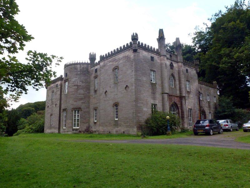
Cliffe Park Hall
Cliffe Park Hall is a country house near Rudyard in Staffordshire, England. During its 200-year history, it has been a private residence, a golf club...
Nearby Amenities
Located within 500m of 53.157315,-2.117649Have you been to Rushton?
Leave your review of Rushton below (or comments, questions and feedback).