Beech Clump
Wood, Forest in Wiltshire
England
Beech Clump
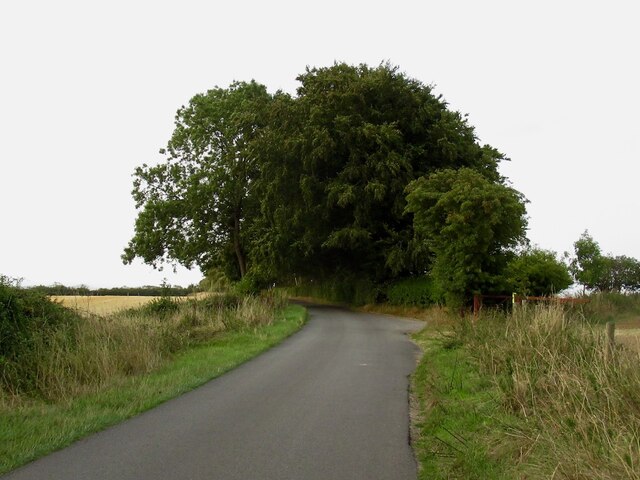
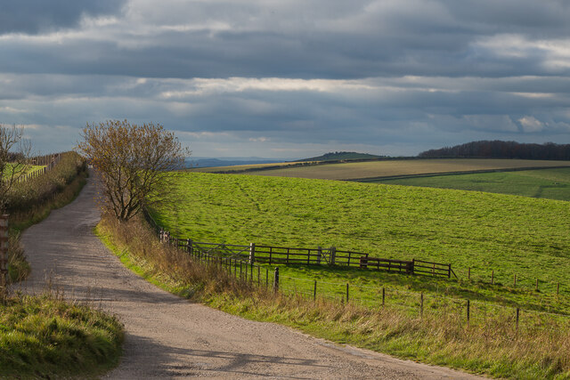
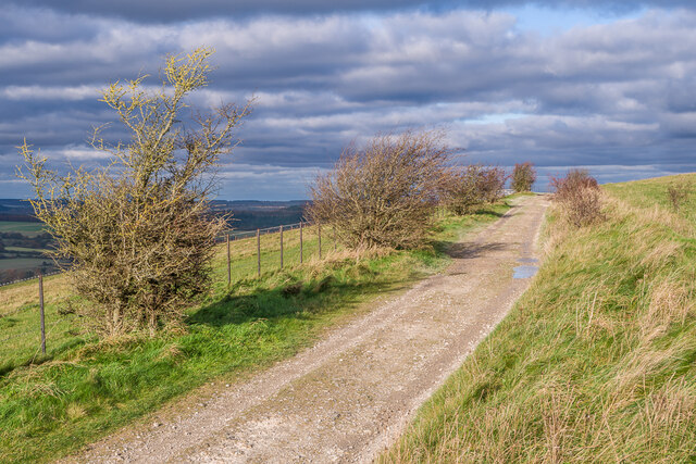
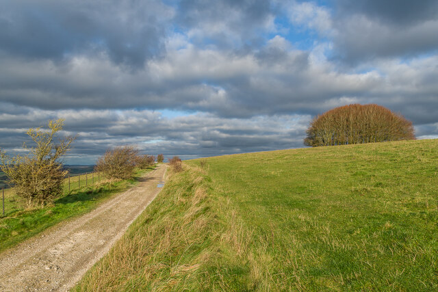
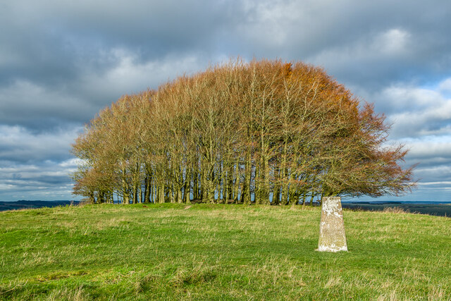
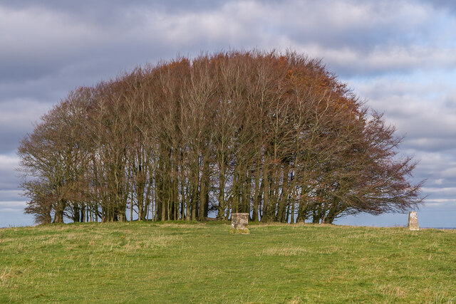
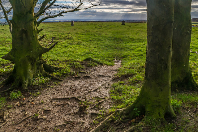
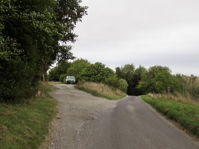
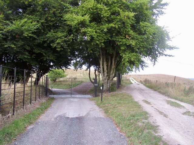
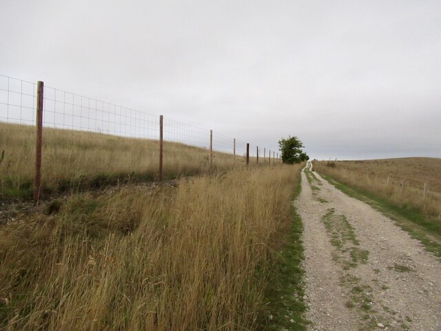
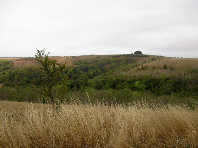
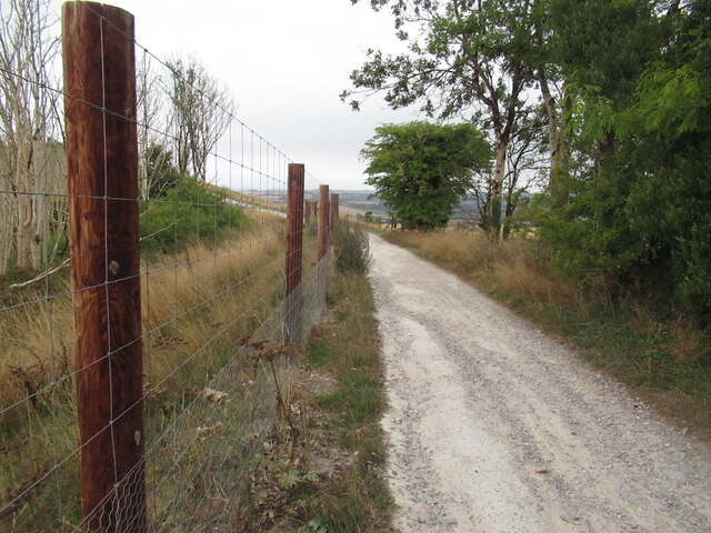
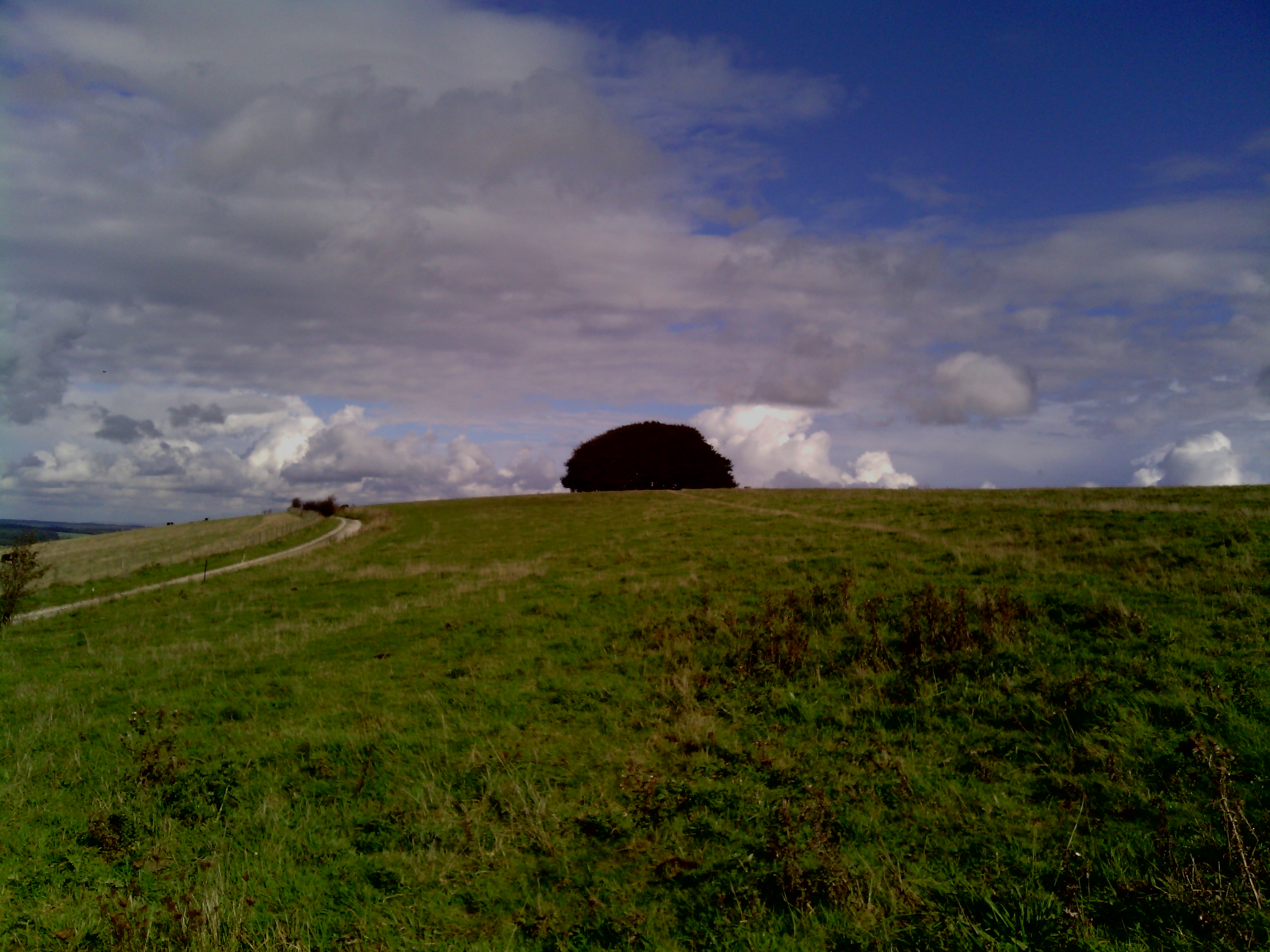
Beech Clump is a picturesque woodland located in the county of Wiltshire, England. Situated near the village of Beechingstoke, this forested area covers approximately 50 acres and is primarily made up of beech trees, hence its name. The towering beech trees create a dense canopy, providing a cool and shaded environment, especially during the summer months.
The woodland is well-known for its scenic beauty and tranquil atmosphere, attracting visitors from both nearby towns and further afield. It offers a peaceful retreat for nature lovers, hikers, and photographers, providing ample opportunities for capturing beautiful shots of the surrounding landscape. The forest floor is covered in a thick carpet of fallen leaves, creating a rustling sound with every step and adding to the overall charm of the place.
Beech Clump is also home to a diverse range of flora and fauna. The woodland floor boasts an array of wildflowers, including bluebells, primroses, and wood anemones, which burst into vibrant colors during the spring months. The forest is a haven for wildlife, with various species of birds, such as woodpeckers and owls, making it their habitat. Squirrels can often be seen darting between the trees, and if lucky, visitors may even spot a deer or two.
The woodland is well-maintained, with designated paths and trails, making it accessible to visitors of all ages and abilities. Whether one seeks a peaceful walk, a picnic spot, or a place to appreciate the beauty of nature, Beech Clump in Wiltshire offers a serene and idyllic setting for all to enjoy.
If you have any feedback on the listing, please let us know in the comments section below.
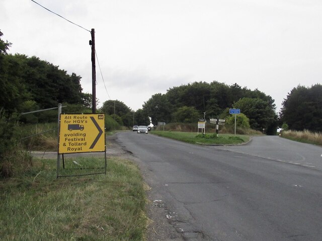
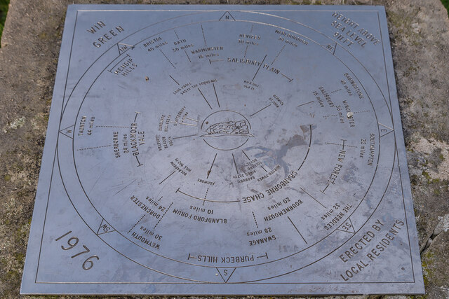
Beech Clump Images
Images are sourced within 2km of 50.988826/-2.1094257 or Grid Reference ST9221. Thanks to Geograph Open Source API. All images are credited.

Beech Clump is located at Grid Ref: ST9221 (Lat: 50.988826, Lng: -2.1094257)
Unitary Authority: Wiltshire
Police Authority: Wiltshire
What 3 Words
///node.syndicate.detection. Near Ansty, Wiltshire
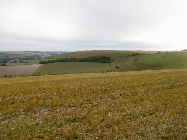
Nearby Locations
Related Wikis
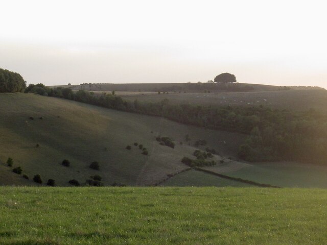
Win Green Down
Win Green Down at grid reference ST927209 in south-western Wiltshire, England is a 26.0 hectares (64 acres) biological Site of Special Scientific Interest...

Ashcombe House, Wiltshire
Ashcombe House, also known as Ashcombe Park, is a Georgian manor house, set in 1,134 acres (4.59 km2) of land on Cranborne Chase in the parish of Berwick...

Ferne House
Ferne House is a country house in the parish of Donhead St Andrew in Wiltshire, England, owned by Viscount Rothermere.There has been a settlement on the...

Ludwell, Wiltshire
Ludwell is a small village in south Wiltshire, England, approximately 3 miles (5 km) east of the Dorset town of Shaftesbury. It lies within the Cranborne...
Nearby Amenities
Located within 500m of 50.988826,-2.1094257Have you been to Beech Clump?
Leave your review of Beech Clump below (or comments, questions and feedback).