Calf Heath Wood
Wood, Forest in Staffordshire South Staffordshire
England
Calf Heath Wood
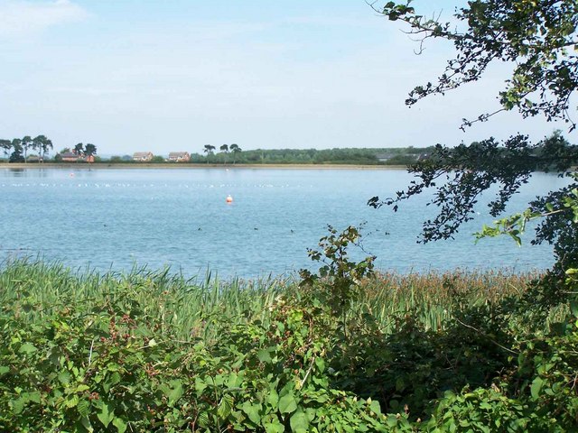
Calf Heath Wood is a beautiful woodland located in Staffordshire, England. Covering an area of approximately 100 acres, it is a popular destination for nature enthusiasts and hikers alike. The wood is situated near the village of Calf Heath, just off the A5 road, making it easily accessible for visitors.
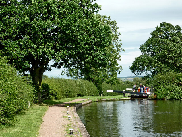
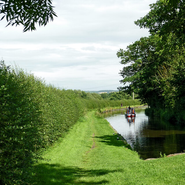
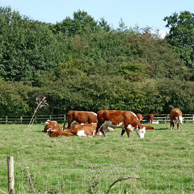
The woodland is primarily made up of deciduous trees, such as oak, ash, and birch, which create a diverse and vibrant ecosystem. It is home to a wide range of wildlife, including deer, foxes, badgers, and numerous bird species. The enchanting atmosphere of the wood is further enhanced by the presence of bluebells and other wildflowers that carpet the forest floor during the spring months.
The wood features a network of well-maintained footpaths and trails, allowing visitors to explore its natural beauty at their own pace. These paths wind through the trees, taking visitors to secluded spots and offering breathtaking views of the surrounding countryside. The wood also has picnic areas and benches along the trails, providing opportunities for visitors to relax and enjoy a peaceful moment surrounded by nature.
Calf Heath Wood is managed by the Forestry Commission, ensuring its conservation and protection. Regular maintenance is carried out to preserve the natural habitat and encourage biodiversity within the wood. The wood is open to the public throughout the year, free of charge, and is a popular destination for families, dog walkers, and those seeking tranquility and escape from the hustle and bustle of daily life.
Overall, Calf Heath Wood is a picturesque woodland that offers visitors a chance to immerse themselves in nature and enjoy the tranquility of the Staffordshire countryside.
If you have any feedback on the listing, please let us know in the comments section below.
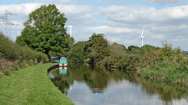
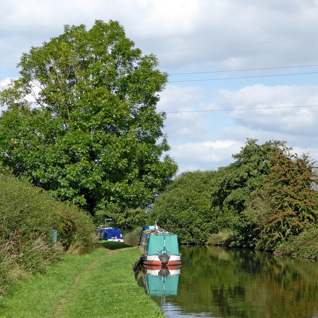
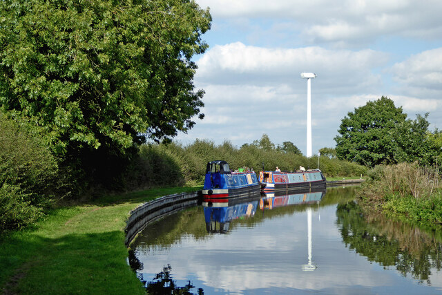
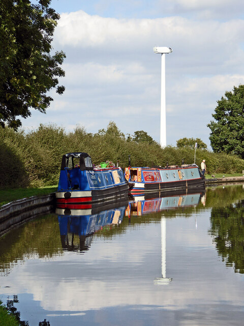
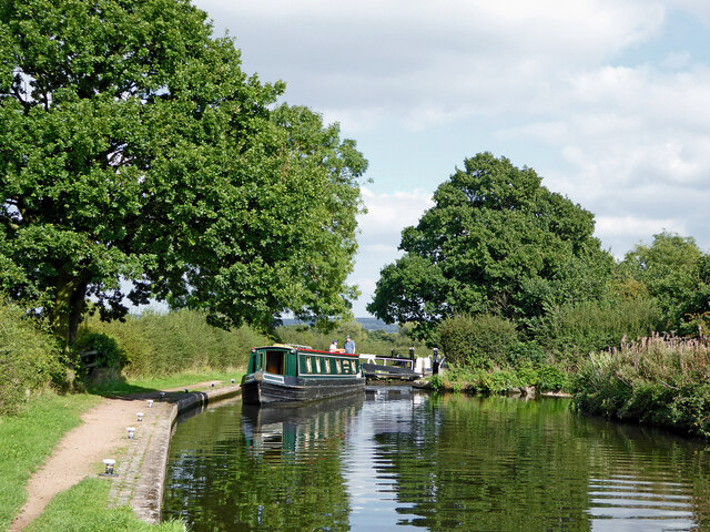
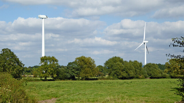
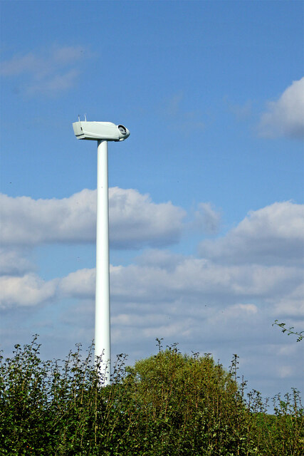
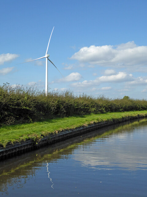
Calf Heath Wood Images
Images are sourced within 2km of 52.682508/-2.1162528 or Grid Reference SJ9209. Thanks to Geograph Open Source API. All images are credited.
Calf Heath Wood is located at Grid Ref: SJ9209 (Lat: 52.682508, Lng: -2.1162528)
Administrative County: Staffordshire
District: South Staffordshire
Police Authority: Staffordshire
What 3 Words
///rewriting.daisy.attend. Near Coven, Staffordshire
Nearby Locations
Related Wikis
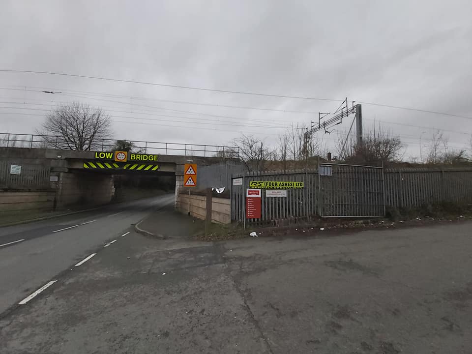
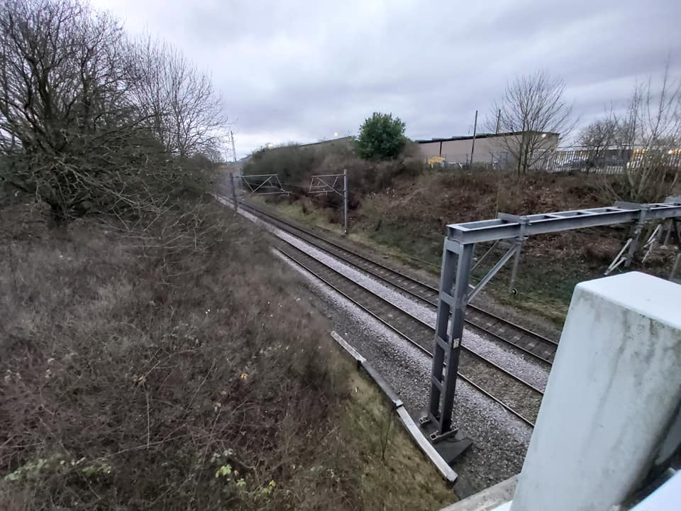
Four Ashes railway station
Four Ashes railway station was a railway station built by the Grand Junction Railway in 1837.: 28 It served the small village of Four Ashes, Staffordshire...

Four Ashes, Staffordshire
Four Ashes is a village in the district of South Staffordshire in Staffordshire, England, located about 4 miles (6.4 km) west of Cannock, 7 miles (11 km...
Gailey railway station
Gailey railway station was a railway station built by the Grand Junction Railway in 1837.: 29 It served the small village of Gailey, Staffordshire, 7...
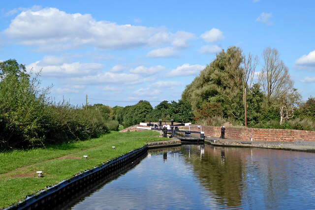
Gailey Reservoirs
Gailey Reservoir is a pair of canal feeder reservoirs in South Staffordshire, separated by a dam, and owned by the Canal & River Trust. Gailey Upper Reservoir...
Nearby Amenities
Located within 500m of 52.682508,-2.1162528Have you been to Calf Heath Wood?
Leave your review of Calf Heath Wood below (or comments, questions and feedback).