Bincombe Wood

Wood, Forest in Wiltshire

England

Bincombe Wood

Old Milestone, A429 1 km SW of Corston on the SE verge. Cut Benchmark representing 79.9 m ASL at 0.1 m GL but currently below ground level. Map designates mileage as "Malmesbury 3 / Chippenham 7"

Inscription (was): CHIPPENᴹ/ VII / MILES / MALMES.RY / III / MILES

Grade II listed, see <span class="nowrap"><a title="https://historicengland.org.uk/listing/the-list/list-entry/1284671" rel="nofollow ugc noopener" href="https://historicengland.org.uk/listing/the-list/list-entry/1284671">Link</a><img style="margin-left:2px;" alt="External link" title="External link - shift click to open in new window" src="https://s1.geograph.org.uk/img/external.png" width="10" height="10"/></span>


Milestone Society National ID: WI_CPMY07
Old Milestone, A429 Credit: Mr Red

Bincombe Wood is a picturesque woodland located in the county of Wiltshire, England. This ancient forest covers an area of approximately 250 acres and is situated near the village of Bincombe, just a few miles southwest of the town of Trowbridge.

The wood is predominantly composed of deciduous trees, including oak, ash, beech, and birch, which create a diverse and vibrant ecosystem. The dense canopy of the woodland provides a haven for a wide range of flora and fauna, making it a popular destination for nature enthusiasts and wildlife lovers.

The forest floor is carpeted with an array of wildflowers, such as bluebells, wood anemones, and primroses, which bloom in abundance during the spring months. This creates a stunning carpet of color, attracting visitors from far and wide.

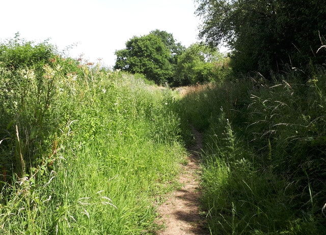
Bincombe Wood also boasts several walking trails, allowing visitors to explore the beauty of the woodland and soak in its tranquil atmosphere. There are well-maintained paths that wind through the trees, providing an opportunity for leisurely strolls or more challenging hikes for the adventurous.

The wood is managed by a local conservation organization, ensuring its preservation and protection for future generations. They undertake regular maintenance work, including tree planting and woodland management, to maintain the health and diversity of the forest.

Overall, Bincombe Wood is a charming and enchanting woodland that offers a peaceful escape from the hustle and bustle of everyday life. Its natural beauty, diverse wildlife, and well-maintained trails make it a must-visit destination for nature lovers and outdoor enthusiasts alike.

If you have any feedback on the listing, please let us know in the comments section below.

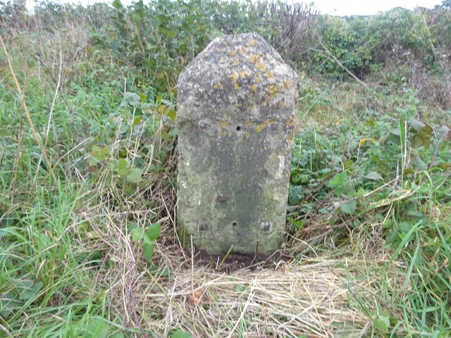
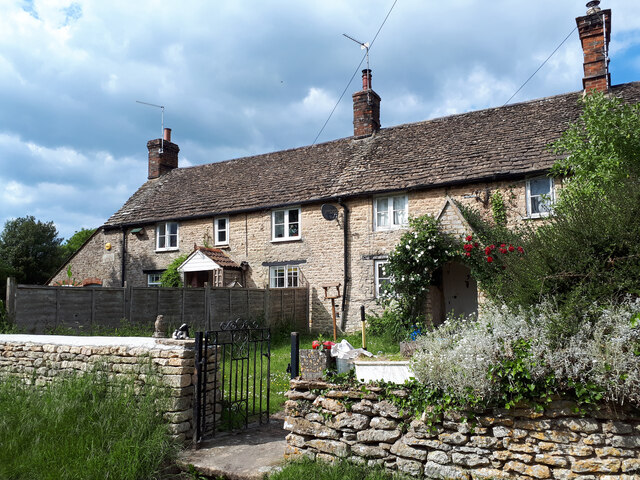
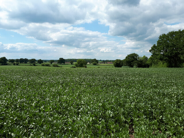
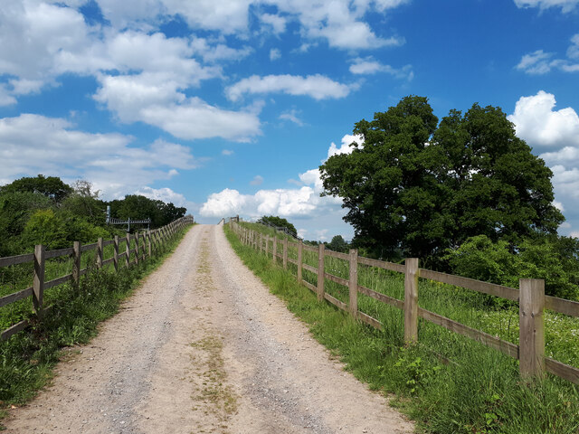
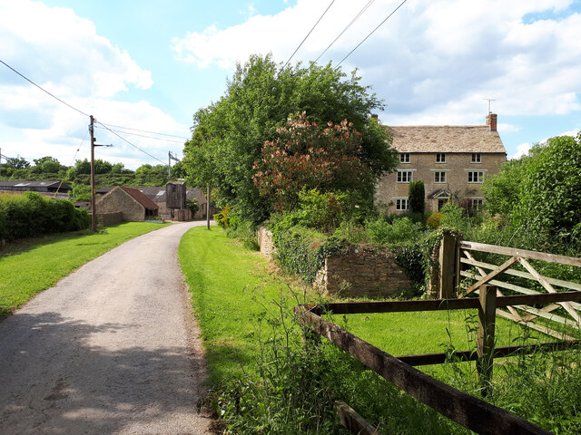
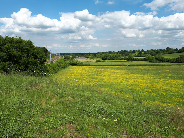
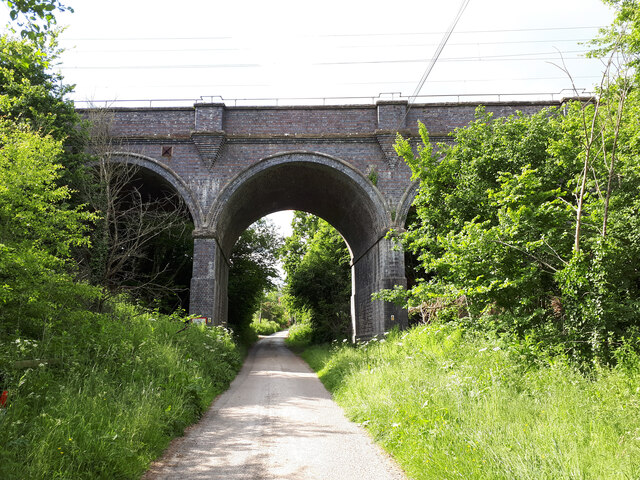
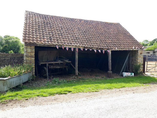
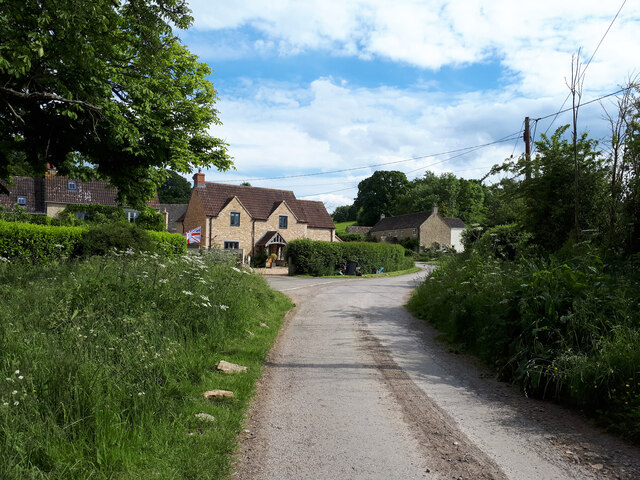
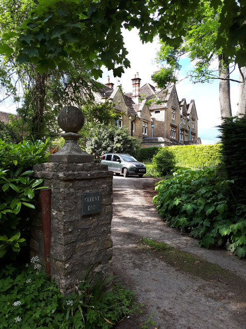
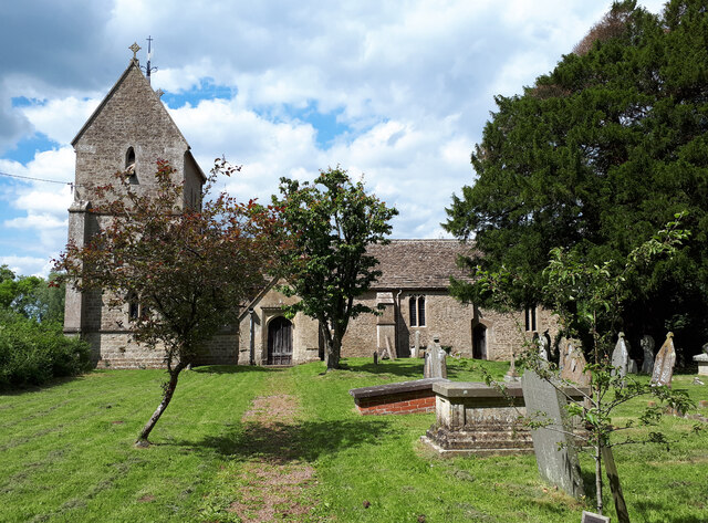
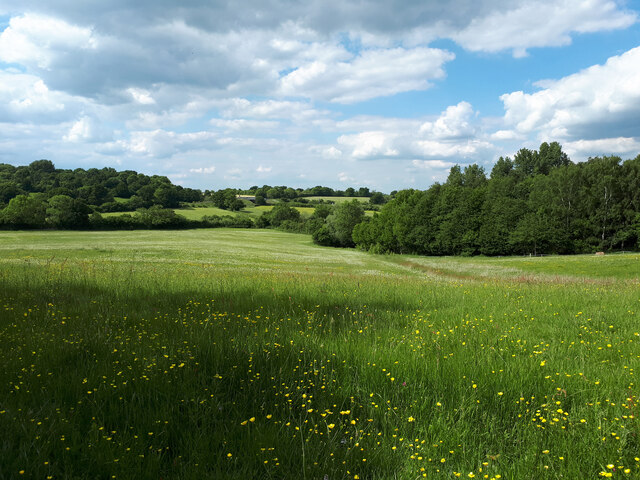
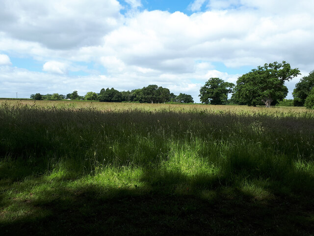
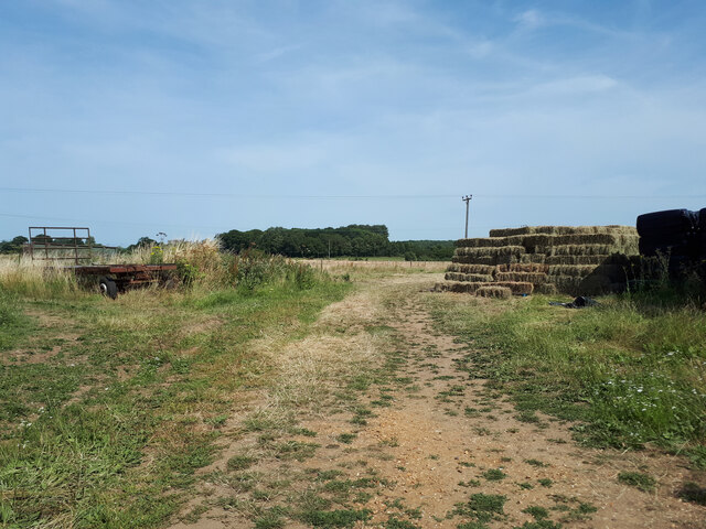
Bincombe Wood Images

Images are sourced within 2km of 51.539995/-2.1132688 or Grid Reference ST9282. Thanks to Geograph Open Source API. All images are credited.

Old Milestone, A429 1 km SW of Corston on the SE verge. Cut Benchmark representing 79.9 m ASL at 0.1 m GL but currently below ground level. Map designates mileage as "Malmesbury 3 / Chippenham 7"

Inscription (was): CHIPPENᴹ/ VII / MILES / MALMES.RY / III / MILES

Grade II listed, see <span class="nowrap"><a title="https://historicengland.org.uk/listing/the-list/list-entry/1284671" rel="nofollow ugc noopener" href="https://historicengland.org.uk/listing/the-list/list-entry/1284671">Link</a><img style="margin-left:2px;" alt="External link" title="External link - shift click to open in new window" src="https://s1.geograph.org.uk/img/external.png" width="10" height="10"/></span>


Milestone Society National ID: WI_CPMY07
Old Milestone, A429
1 km SW of Corston on the SE verge. Cut Benchmark representing 79.9 m ASL at 0.1 m GL but currently below ground level. Map designates mileage as "Malmesbury 3 / Chippenham 7" Inscription (was): CHIPPENᴹ/ VII / MILES / MALMES.RY / III / MILES Grade II listed, see LinkExternal link Milestone Society National ID: WI_CPMY07
Looking across a bean field towards Corston
Approaching Cabbage Lane rail overbridge
Bottom Farm, Pound Hill
View from Cabbage Lane towards Bottom Farm Buttercup meadow alongside the Swindon to the recently electrified Bristol Parkway railway line.
View from Cabbage Lane towards Bottom Farm
Buttercup meadow alongside the Swindon to the recently electrified Bristol Parkway railway line.
Barn near Cleeve House
Tractor near field entrance on footpath to Cleeve House
Pound Hill railway bridge
Old farm building, Bottom Farm, Pound Hill With an old waggon inside. The building is decorated with bunting for the Queen's Platinum Jubilee.
Old farm building, Bottom Farm, Pound Hill
With an old waggon inside. The building is decorated with bunting for the Queen's Platinum Jubilee.
Rodbourne Bottom
Rodbourne Bottom
Cleeve House Former children's home.
Cleeve House
Former children's home.
Holy Rood Church
Holy Rood Church
View towards Cabbage Lane railway overbridge from footpath to Cleeve House
Farmland near Avil's Farm
Public bridleway near Stanton Park Stud
Public bridleway to Rodbourne
Drive to Hangar Farm The public bridleway is supposed to run alongside and to the left of the drive, but the gate at the end of it is overgrown and impassable, which necessitated climbing over the gate directly ahead in order to get to the road.
Drive to Hangar Farm
The public bridleway is supposed to run alongside and to the left of the drive, but the gate at the end of it is overgrown and impassable, which necessitated climbing over the gate directly ahead in order to get to the road.
Show me another place!

Bincombe Wood is located at Grid Ref: ST9282 (Lat: 51.539995, Lng: -2.1132688)

Unitary Authority: Wiltshire

Police Authority: Wiltshire

What 3 Words

///auctioned.suitcase.smaller. Near Sutton Benger, Wiltshire

Nearby Locations

Bincombe Wood

Related Wikis

Harries Ground, Rodbourne

Harries Ground, Rodbourne (grid reference ST930823) is a 6.87 hectare biological Site of Special Scientific Interest in Wiltshire, England, notified in...

St Paul Malmesbury Without

St Paul Malmesbury Without is a civil parish surrounding Malmesbury, Wiltshire, England. Its main settlements are the village of Corston and the hamlets...

Corston, Wiltshire

Corston is a small village on the A429 road in Wiltshire, England, in the civil parish of St Paul Malmesbury Without, approximately 3 miles (4.8 km) south...

Rodbourne, St Paul Malmesbury Without

Rodbourne is a small village in Wiltshire, England, in the civil parish of St Paul Malmesbury Without about 2.5 miles (4.0 km) south of the town of Malmesbury...

Have you been to Bincombe Wood?

Leave your review of Bincombe Wood below (or comments, questions and feedback).