Ratcliff Wood
Wood, Forest in Cheshire
England
Ratcliff Wood
Ratcliff Wood is a picturesque forest located in the county of Cheshire, in the northwest of England. Covering an area of approximately 100 hectares, the woodland is situated on the outskirts of the village of Ratcliff, near the town of Northwich.
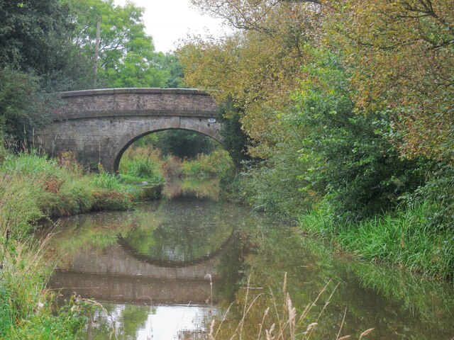
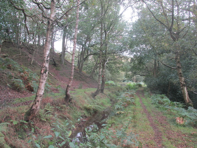
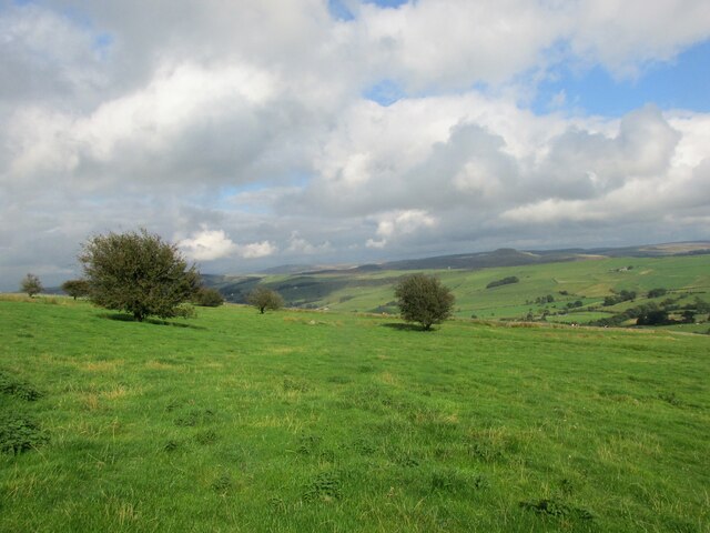
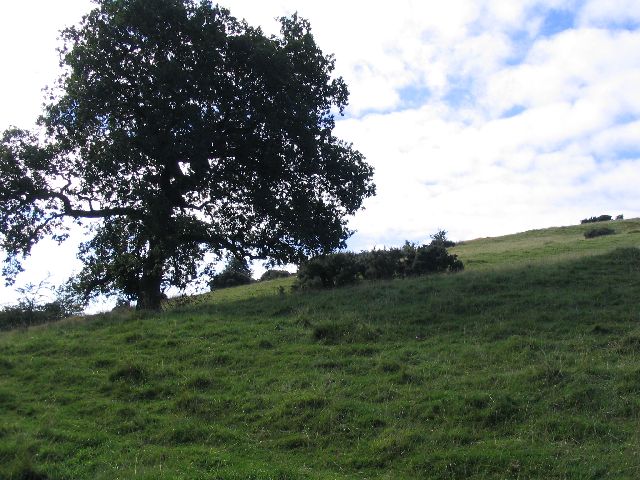
The wood is predominantly composed of deciduous trees, including oak, beech, and birch, which create a stunning display of vibrant colors during the autumn months. The forest floor is covered in a rich carpet of moss, ferns, and wildflowers, adding to the natural beauty of the area.
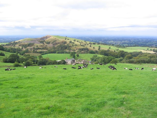
Ratcliff Wood is a haven for wildlife, providing a diverse habitat for a wide range of species. Visitors may spot a variety of birds, such as woodpeckers, owls, and buzzards, while small mammals like squirrels, rabbits, and foxes are also commonly seen. The forest is particularly famous for its population of red deer, which can be observed grazing peacefully in the open glades.
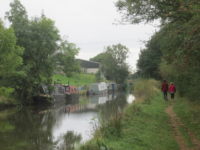
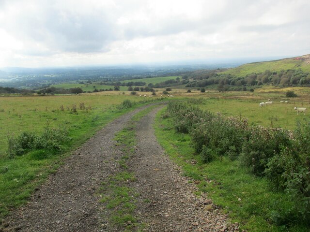
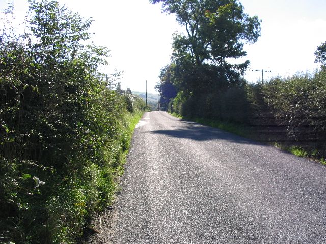
The wood is crisscrossed with a network of footpaths and trails, making it a popular destination for walkers, hikers, and nature enthusiasts. The paths lead visitors through a variety of terrains, including dense woodland, open clearings, and babbling streams. There are also several picnic areas and benches scattered throughout the wood, providing the perfect spot to rest and enjoy the tranquility of the surroundings.
Ratcliff Wood is not only a natural gem but also of historical significance. It has been a protected site since the late 19th century and is managed by the local conservation authority. The wood offers an opportunity to explore the rich heritage of the area, with remnants of ancient settlements and archaeological sites dotted throughout.
Overall, Ratcliff Wood is a stunning and diverse forest that offers a unique blend of natural beauty, wildlife, and historical interest. It is a cherished gem for both locals and visitors alike, providing a peaceful escape from the hustle and bustle of everyday life
If you have any feedback on the listing, please let us know in the comments section below.
Ratcliff Wood Images
Images are sourced within 2km of 53.220082/-2.1175118 or Grid Reference SJ9269. Thanks to Geograph Open Source API. All images are credited.


Ratcliff Wood is located at Grid Ref: SJ9269 (Lat: 53.220082, Lng: -2.1175118)
Unitary Authority: Cheshire East
Police Authority: Cheshire
What 3 Words
///fried.water.income. Near Macclesfield, Cheshire
Nearby Locations
Related Wikis
Oakgrove, Cheshire
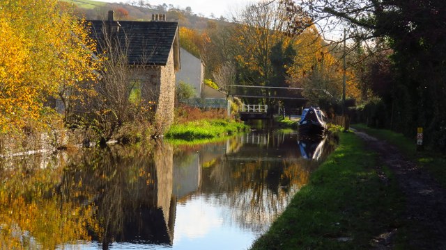
Oakgrove is a village in Cheshire, England. It is part of the civil parish of Sutton and is situated on the Macclesfield Canal which is crossed here by...
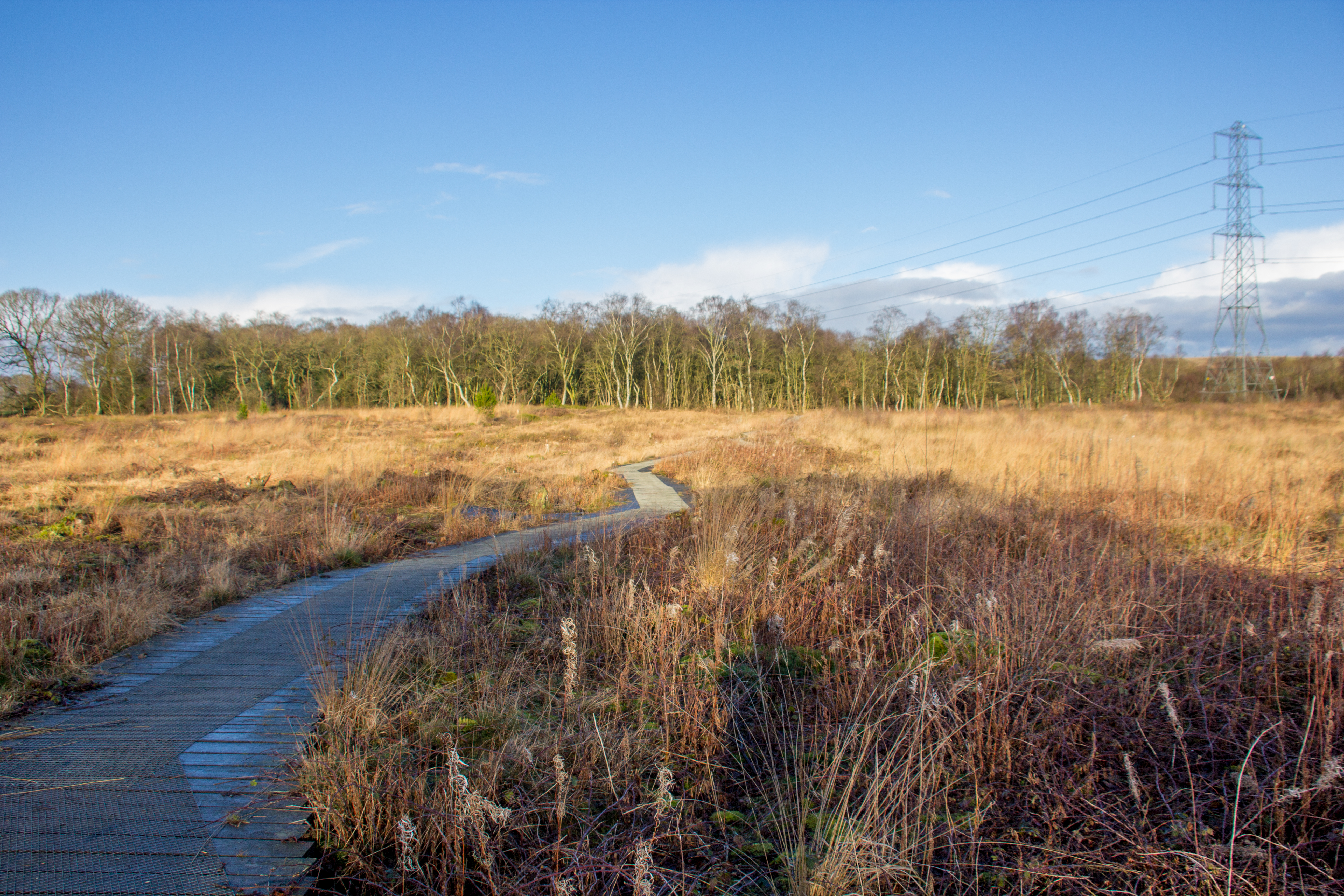
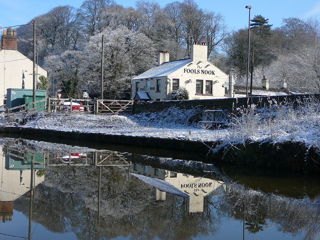
Danes Moss Nature Reserve
Danes Moss Nature Reserve is a 13.4-hectare (33-acre) nature reserve south of Macclesfield, Cheshire, England. A Site of Special Scientific Interest, it...

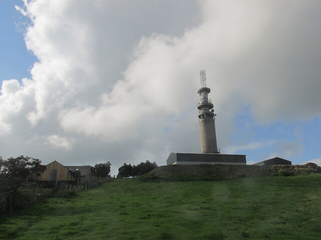
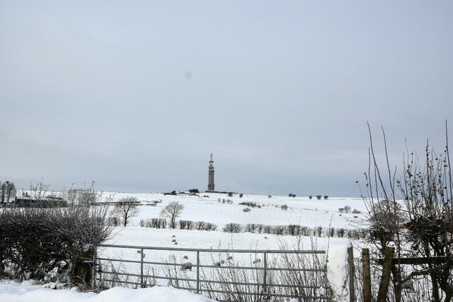
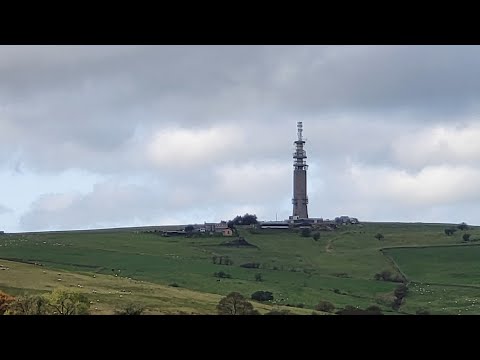
Sutton Common BT Tower
Sutton Common BT Tower is a 72-metre (238-foot) radio tower built of reinforced concrete at Macclesfield, Cheshire, England. Sutton Common was originally...

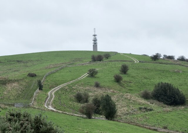
Croker Hill
Croker Hill stands just outside the western edge of the Peak District national park, overlooking Congleton in Cheshire. Near the summit stands the Sutton...
Related Videos

Timelapse travel across the proposed development area
The proposed development area is so big at 55ha we needed to make a timelapse video to show it in all it's glory with it's myriad ...
Ethel Challenge 2022 - Croker Hill. Ethel 46. 49 Ethels to go. Peak District National Park.
Ethel Challenge 2022. I hope one day to complete this Ethel Challenge and keep hiking in the Peak District National Park & The ...
Teggs Nose Reservoir Lower Part
29/08/2021.

Lyme Green to Oakgrove - A narrowboat journey on the Macclesfield canal.
Lyme Green to Oakgrove - A narrowboat journey on the Macclesfield canal. On the way I pass through a swing bridge, and then ...
Nearby Amenities
Located within 500m of 53.220082,-2.1175118Have you been to Ratcliff Wood?
Leave your review of Ratcliff Wood below (or comments, questions and feedback).