Reservoir Plantation
Wood, Forest in Staffordshire South Staffordshire
England
Reservoir Plantation
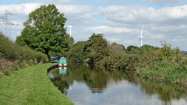
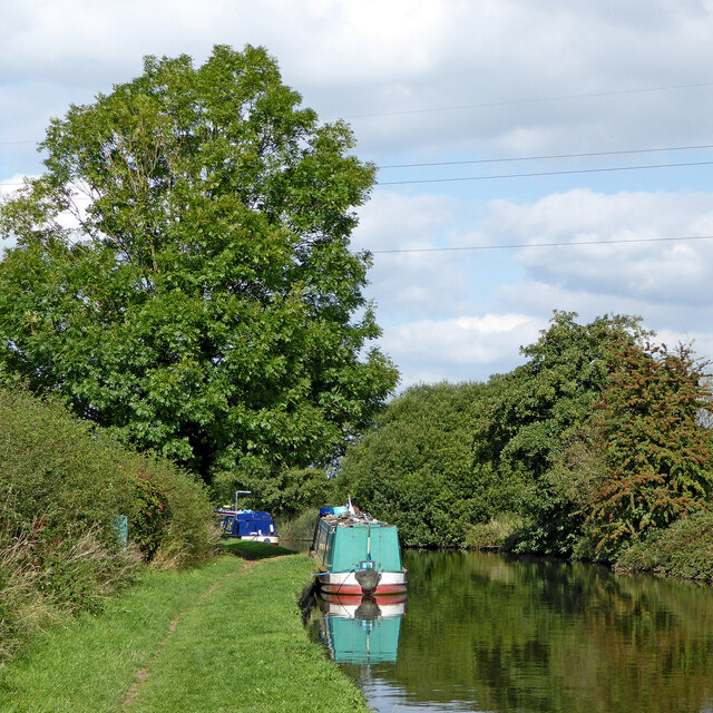
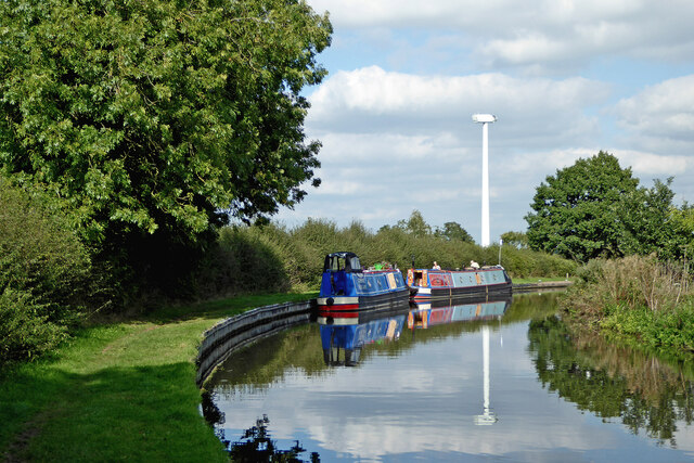
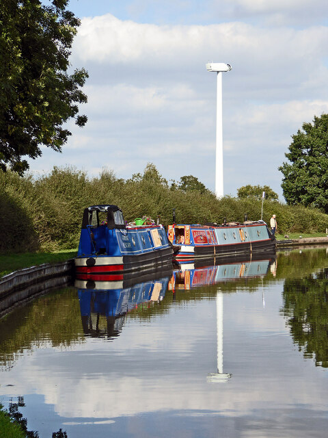
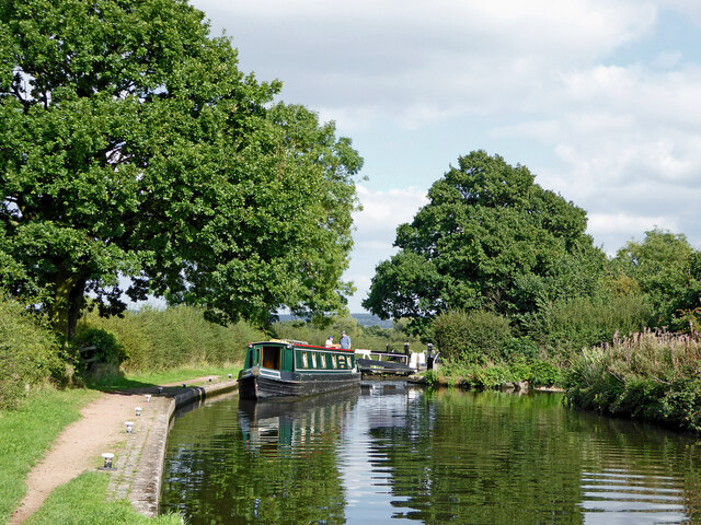
Reservoir Plantation, located in Staffordshire, England, is a picturesque woodland area that spans across a vast expanse of land. Situated near the village of Wood, in the heart of Staffordshire's forest region, this plantation is a haven for nature lovers and outdoor enthusiasts alike.
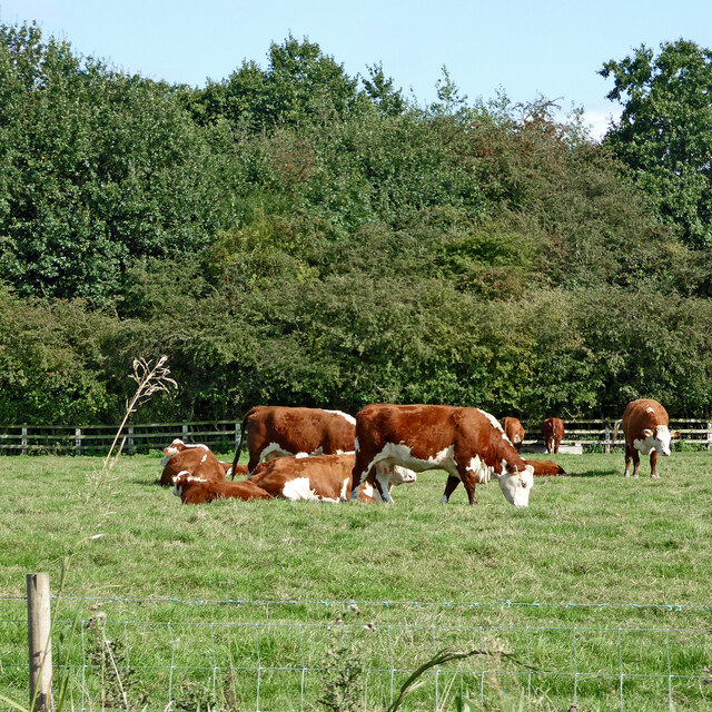
Covering an area of approximately 500 acres, Reservoir Plantation offers visitors an opportunity to immerse themselves in the beauty of nature. The plantation is characterized by its dense growth of native trees, including oak, birch, and beech, which provide a stunning backdrop for long walks and peaceful strolls.
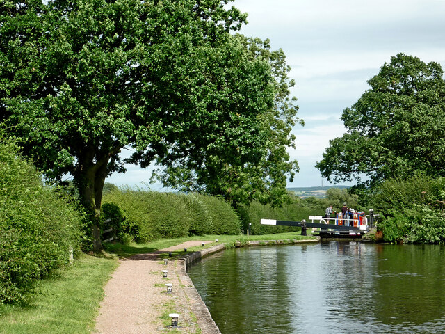
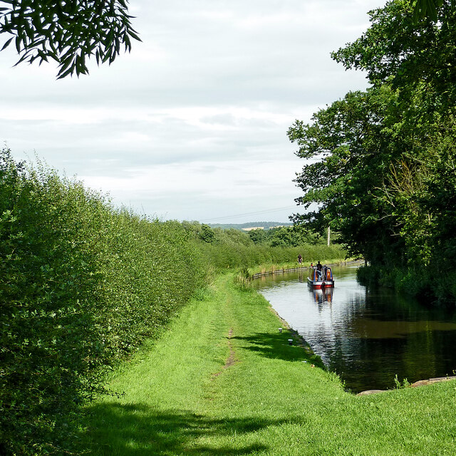
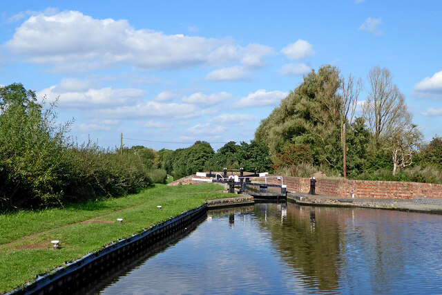
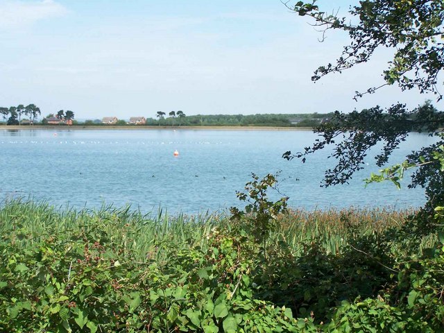
One of the main attractions of Reservoir Plantation is its namesake reservoir, which adds to the area's charm and tranquility. The reservoir serves as a water source for the surrounding areas and is also home to a variety of aquatic life, making it a popular spot for fishing enthusiasts. The serene atmosphere around the reservoir is further enhanced by the presence of various bird species, offering birdwatchers a chance to observe and appreciate the local avian population.
The plantation is also known for its well-maintained trails and paths, making it a favorite destination for hikers and cyclists. These paths wind through the woodland, offering visitors a chance to explore the diverse flora and fauna that thrive in the area. Additionally, Reservoir Plantation provides ample opportunities for picnicking and outdoor activities, making it an ideal destination for families and groups looking to spend quality time in nature.
Overall, Reservoir Plantation in Staffordshire is a natural haven that offers a peaceful retreat away from the hustle and bustle of city life. Its scenic beauty, diverse wildlife, and various recreational activities make it a popular choice for nature enthusiasts seeking solace in the heart of the forest.
If you have any feedback on the listing, please let us know in the comments section below.
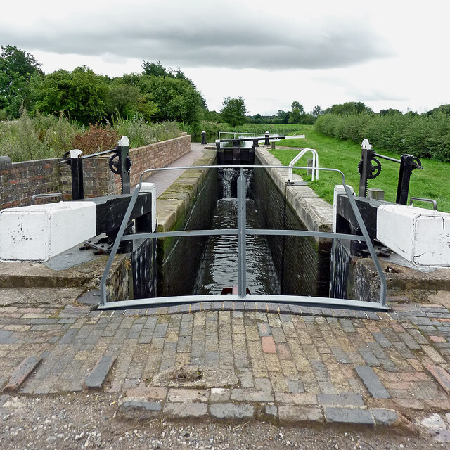
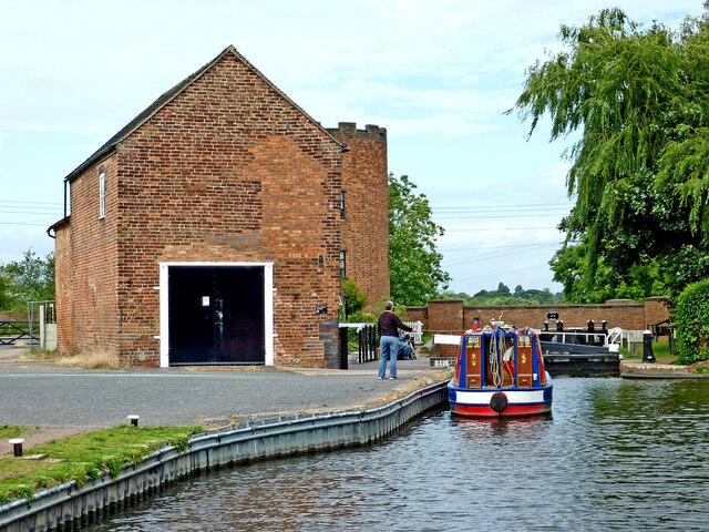
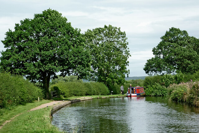
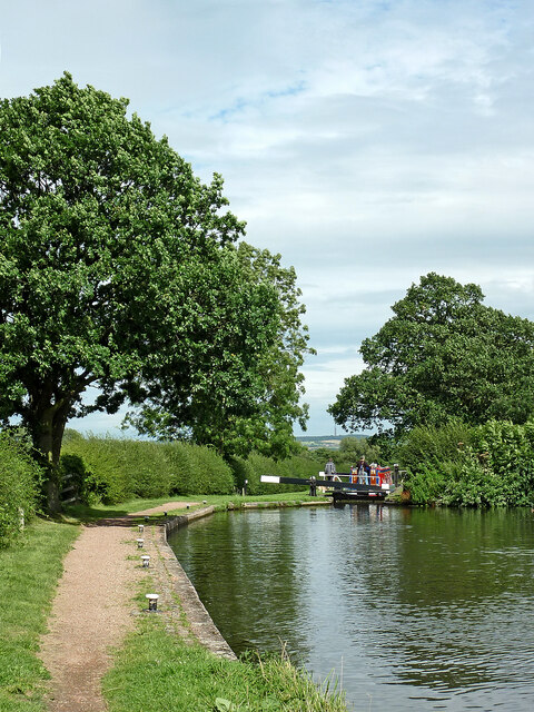
Reservoir Plantation Images
Images are sourced within 2km of 52.68585/-2.1096047 or Grid Reference SJ9209. Thanks to Geograph Open Source API. All images are credited.
Reservoir Plantation is located at Grid Ref: SJ9209 (Lat: 52.68585, Lng: -2.1096047)
Administrative County: Staffordshire
District: South Staffordshire
Police Authority: Staffordshire
What 3 Words
///remarried.robots.warping. Near Coven, Staffordshire
Nearby Locations
Related Wikis
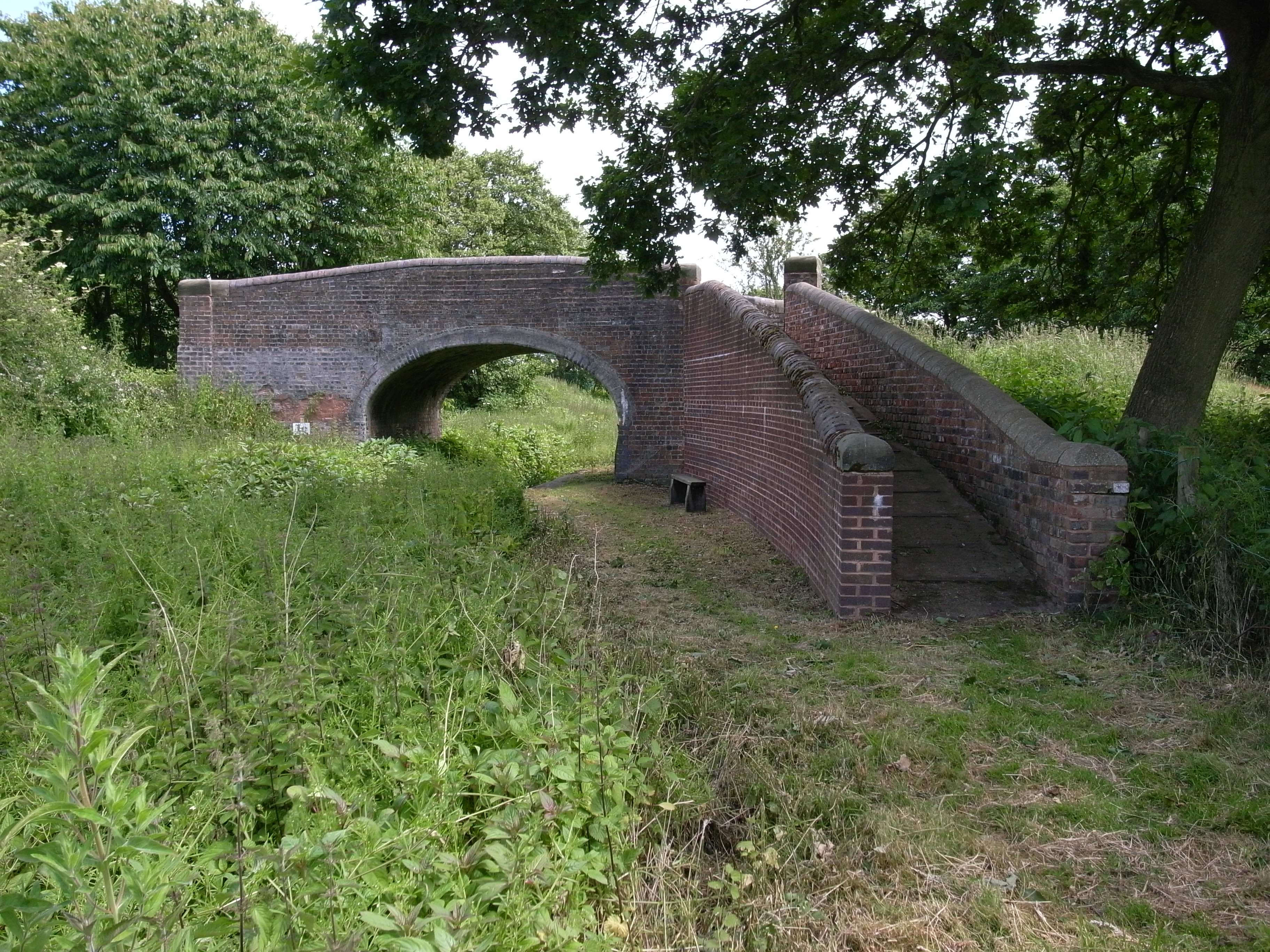
Gailey Reservoirs
Gailey Reservoir is a pair of canal feeder reservoirs in South Staffordshire, separated by a dam, and owned by the Canal & River Trust. Gailey Upper Reservoir...
Gailey railway station
Gailey railway station was a railway station built by the Grand Junction Railway in 1837.: 29 It served the small village of Gailey, Staffordshire, 7...
Hatherton Canal
The Hatherton Canal is a derelict branch of the Staffordshire and Worcestershire Canal in south Staffordshire, England. It was constructed in two phases...
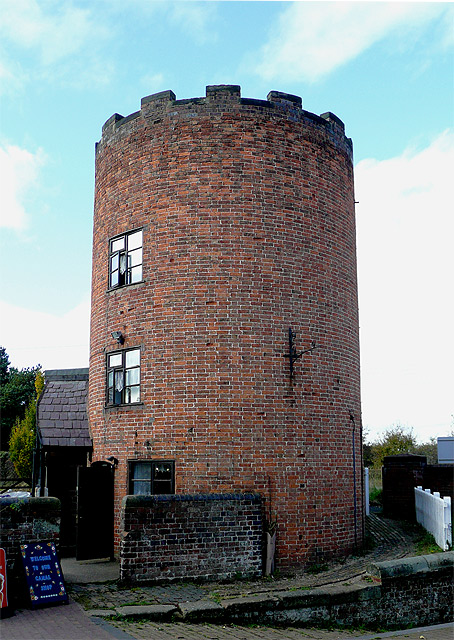
Gailey, Staffordshire
Gailey is a small village in Staffordshire, England. It is at the junction of the A5 and A449 roads, and is on the boundary of the parishes of Brewood...

Cuttleston
Cuttleston or Cuttlestone is a hundred in the county of Staffordshire, England, located in the centre of that county, south of Stafford. Cuttleston was...

Penkridge weather station
Penkridge weather station is a weather station at Penkridge in Staffordshire, England, operated by the Met Office. It is situated on the site of Rodbaston...
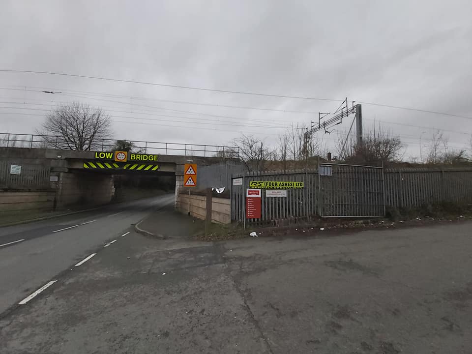
Four Ashes railway station
Four Ashes railway station was a railway station built by the Grand Junction Railway in 1837.: 28 It served the small village of Four Ashes, Staffordshire...

Four Ashes, Staffordshire
Four Ashes is a village in the district of South Staffordshire in Staffordshire, England, located about 4 miles (6.4 km) west of Cannock, 7 miles (11 km...
Nearby Amenities
Located within 500m of 52.68585,-2.1096047Have you been to Reservoir Plantation?
Leave your review of Reservoir Plantation below (or comments, questions and feedback).