Mark Plantation

Wood, Forest in Yorkshire Craven

England

Mark Plantation

Skipton Road, Gargrave
Skipton Road, Gargrave Credit: Des Blenkinsopp

Mark Plantation is a picturesque woodland located in the county of Yorkshire, England. Situated in the heart of the region, it spans a vast area and is known for its enchanting beauty and serene atmosphere. The plantation derives its name from the abundance of trees that dominate the landscape, predominantly consisting of oak, beech, and pine.

Covering an area of approximately 500 acres, Mark Plantation is a haven for nature enthusiasts and outdoor adventurers alike. The woodland boasts a variety of walking trails and pathways, allowing visitors to explore its hidden treasures. The well-maintained paths offer a peaceful retreat, with dappled sunlight filtering through the dense canopy above.

Wildlife thrives in this woodland sanctuary, attracting birdwatchers and animal lovers. A wide range of bird species can be spotted throughout the year, including woodpeckers, owls, and various migratory birds. Squirrels, deer, and foxes are also commonly sighted, adding to the charm of this natural oasis.

Mark Plantation is a popular destination for recreational activities such as hiking, jogging, and cycling. Its diverse terrain caters to all skill levels, providing both challenging trails for experienced adventurers and easier routes for families. Numerous picnic areas are scattered throughout the plantation, offering a perfect spot to relax and enjoy the tranquil surroundings.

Overall, Mark Plantation in Yorkshire offers a captivating woodland experience, combining natural beauty with an array of recreational opportunities. Its idyllic setting and rich biodiversity make it a must-visit destination for nature enthusiasts and those seeking a peaceful escape from the hustle and bustle of everyday life.

If you have any feedback on the listing, please let us know in the comments section below.

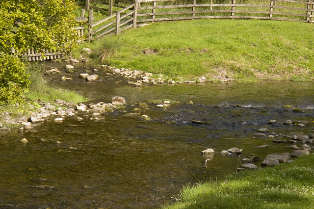
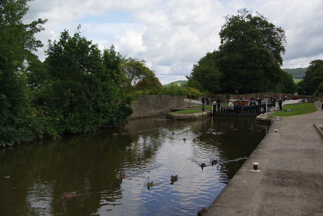
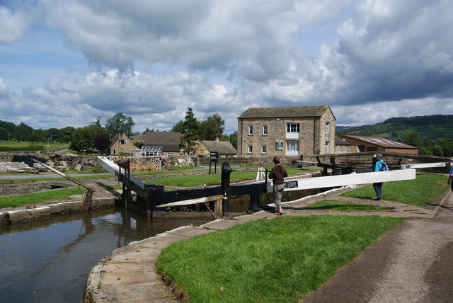
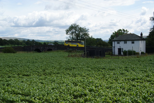
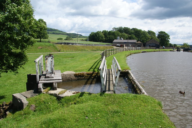
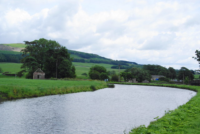
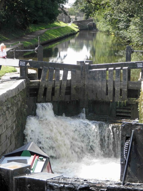
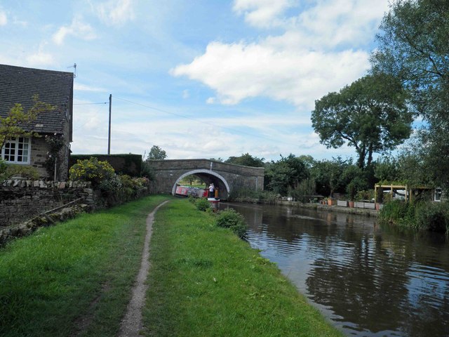
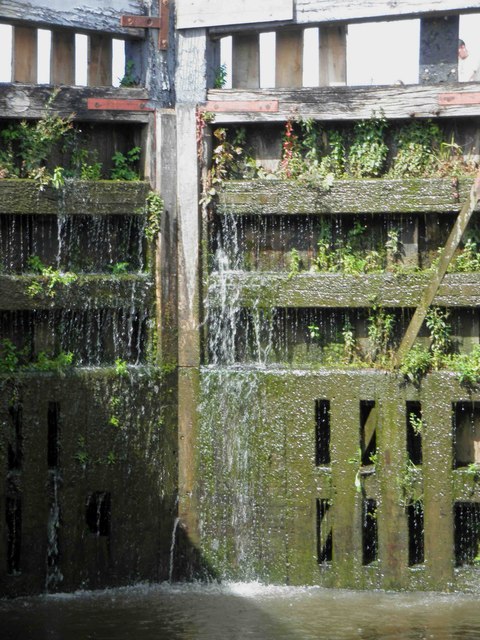
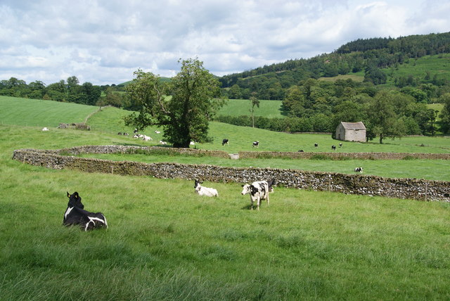
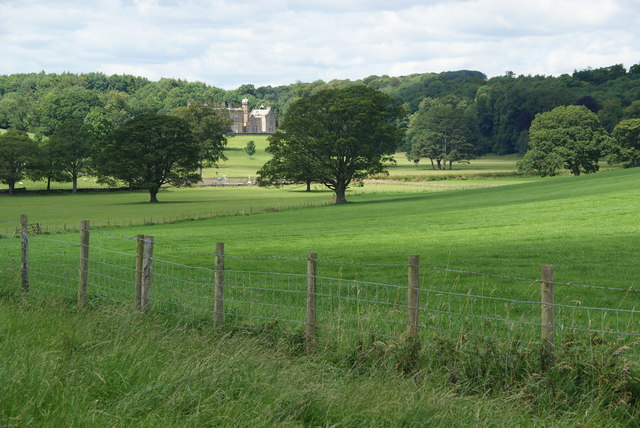
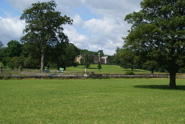
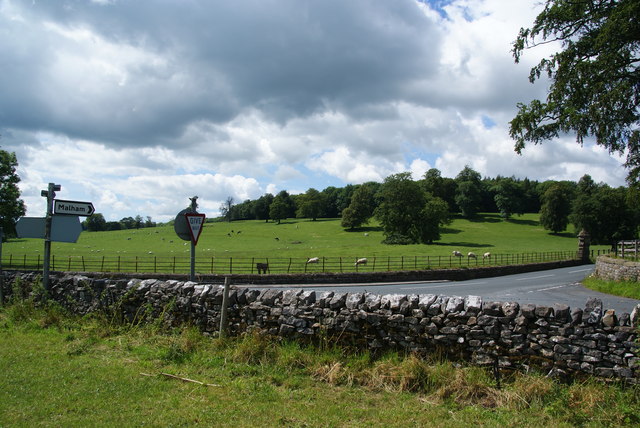
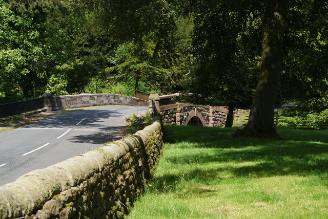
Mark Plantation Images

Images are sourced within 2km of 53.989373/-2.1130525 or Grid Reference SD9254. Thanks to Geograph Open Source API. All images are credited.

Skipton Road, Gargrave
Approaching Priest Holme Bridge Priest Holme Bridge no168 again carries the towpath to the opposite bank. A wide beam hotel boat is approaching the bridge.The Leeds & Liverpool Canal was built to take boats of this width.
Approaching Priest Holme Bridge
Priest Holme Bridge no168 again carries the towpath to the opposite bank. A wide beam hotel boat is approaching the bridge.The Leeds & Liverpool Canal was built to take boats of this width.
Confluence of Eshton Beck and Flasby Beck Flasby beck is joining up here with the larger Eshton Beck
Confluence of Eshton Beck and Flasby Beck
Flasby beck is joining up here with the larger Eshton Beck
Ducks by Lock 32 of the Leeds and Liverpool Canal The lock can accommodate two barges, and two are just about to emerge from the lock.
Ducks by Lock 32 of the Leeds and Liverpool Canal
The lock can accommodate two barges, and two are just about to emerge from the lock.
Lock 31 on the Leeds and Liverpool Canal This is by the Eshton Road bridge on the north side of Gargrave.
Lock 31 on the Leeds and Liverpool Canal
This is by the Eshton Road bridge on the north side of Gargrave.
A crop between the A65 and the Leeds and Liverpool Canal I didn't work out what was growing here. The road bridge crosses Eshton Brook which will join the River Aire shortly.
A crop between the A65 and the Leeds and Liverpool Canal
I didn't work out what was growing here. The road bridge crosses Eshton Brook which will join the River Aire shortly.
Sluice on the Leeds and Liverpool Canal This allows surplus water to flow into Eshton Brook.
Sluice on the Leeds and Liverpool Canal
This allows surplus water to flow into Eshton Brook.
A bend in the Leeds and Liverpool Canal This stretch  east of Gragrave seems wider than normal.
A bend in the Leeds and Liverpool Canal
This stretch east of Gragrave seems wider than normal.
Filling lock 31 on the Leeds and Liverpool canal Gargrave
Bridge 172 Ray Bridge on the Leeds Liverpool canal near Gargrave
Lock gate 30 on the Leeds Liverpool canal Gargrave Complete with a substantial amount of greenery.
Lock gate 30 on the Leeds Liverpool canal Gargrave
Complete with a substantial amount of greenery.
Crumacre Laithe In the valley of Eshton Brook.
Crumacre Laithe
In the valley of Eshton Brook.
Fields above Eshton Hall A pleasant path crosses this estate grassland.
Fields above Eshton Hall
A pleasant path crosses this estate grassland.
Path approaching Eshton Hall The path is not well defined but it doesn't need to be on this grassland.
Path approaching Eshton Hall
The path is not well defined but it doesn't need to be on this grassland.
Road junction near Eshton Hall
Eshton Bridge It crosses Eshton Beck just near its confluence with Flasby Beck.
Eshton Bridge
It crosses Eshton Beck just near its confluence with Flasby Beck.
Dairy production at Throstle Nest Farm According to the sign at the farm entrance, the milk from these cows goes to Sainsbury's. Flasby Fell is behind.
Dairy production at Throstle Nest Farm
According to the sign at the farm entrance, the milk from these cows goes to Sainsbury's. Flasby Fell is behind.
The Pennine Way near Harrows Hill
Show me another place!

Mark Plantation is located at Grid Ref: SD9254 (Lat: 53.989373, Lng: -2.1130525)

Division: West Riding

Administrative County: North Yorkshire

District: Craven

Police Authority: North Yorkshire

What 3 Words

///arise.pins.fats. Near Gargrave, North Yorkshire

Related Wikis

Nearby Amenities

Located within 500m of 53.989373,-2.1130525
Bench
Lat/Long: 53.9891534/-2.1138679
Barrier: stile
Steps: 3
Stile: wall
Lat/Long: 53.9909298/-2.1164609
Hiking: yes
Information: guidepost
Source: GPS survey
Tourism: information
Lat/Long: 53.9908843/-2.116444
Hiking: yes
Information: guidepost
Source: GPS survey
Tourism: information
Lat/Long: 53.9918115/-2.1179916
Hiking: yes
Information: guidepost
Source: GPS Survey
Tourism: information
Lat/Long: 53.9894879/-2.1144189
The data included in this document is from www.openstreetmap.org. The data is made available under ODbL.

Have you been to Mark Plantation?

Leave your review of Mark Plantation below (or comments, questions and feedback).