Calf Heath
Downs, Moorland in Staffordshire South Staffordshire
England
Calf Heath
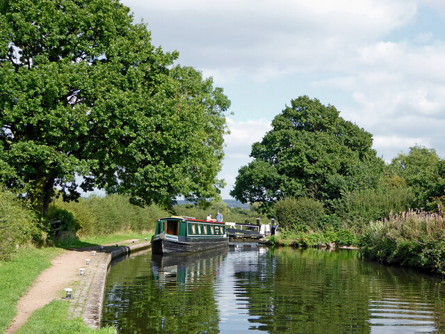
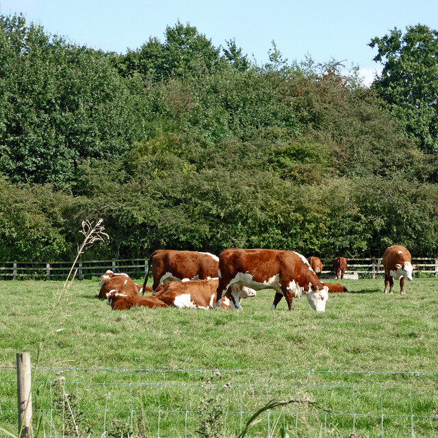
Calf Heath is a small village located in Staffordshire, England. Situated on the outskirts of Wolverhampton, it is part of the South Staffordshire district. The village is known for its idyllic countryside setting, characterized by rolling downs and vast areas of moorland.
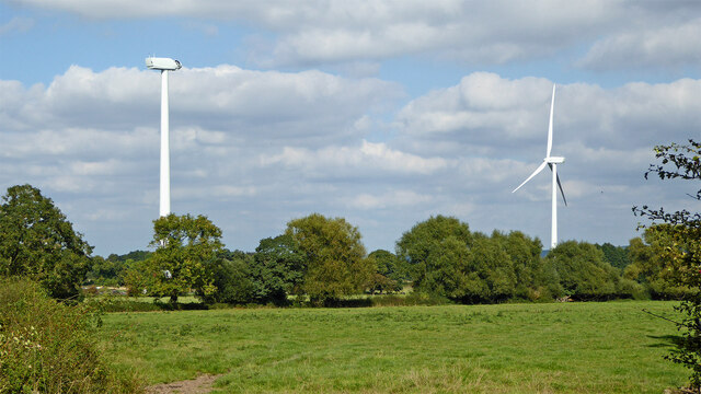
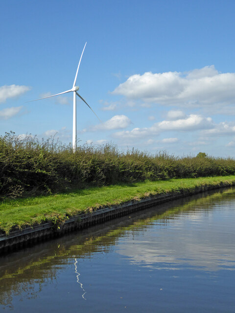
The landscape of Calf Heath is dominated by the stunning Cannock Chase, a designated Area of Outstanding Natural Beauty. This ancient woodland covers a large portion of the surrounding area and offers numerous walking and cycling trails for outdoor enthusiasts. The Chase is home to an array of wildlife, including deer, foxes, and a variety of bird species.
In the heart of the village, visitors will find several amenities, including a popular pub, village hall, and a small number of shops. The community in Calf Heath is close-knit, with a friendly and welcoming atmosphere.
For those seeking a tranquil escape, Calf Heath offers a peaceful retreat away from the hustle and bustle of city life. The moorland and downs provide ample opportunities for hiking, picnicking, and simply enjoying the beauty of the natural surroundings.
Despite its rural setting, Calf Heath benefits from excellent transport links. The village is conveniently located near the M6 motorway, providing easy access to nearby towns and cities such as Wolverhampton and Birmingham. The area is also served by a railway station, making it a convenient base for commuters.
Overall, Calf Heath is a charming village in Staffordshire, known for its picturesque countryside, friendly community, and convenient location. Whether visitors are looking to explore the natural beauty of the area or simply relax in a peaceful setting, Calf Heath offers a delightful experience.
If you have any feedback on the listing, please let us know in the comments section below.
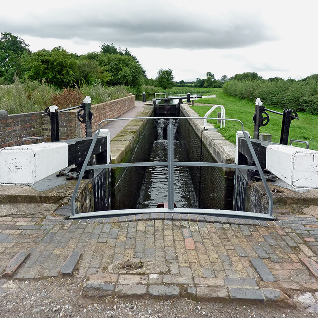
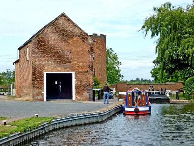
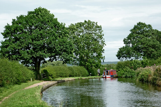
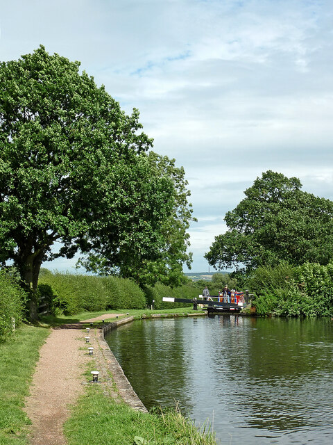
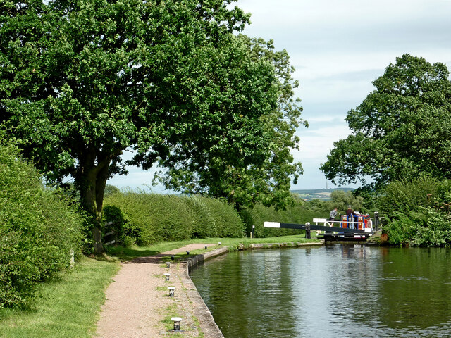
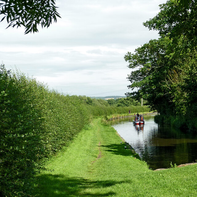
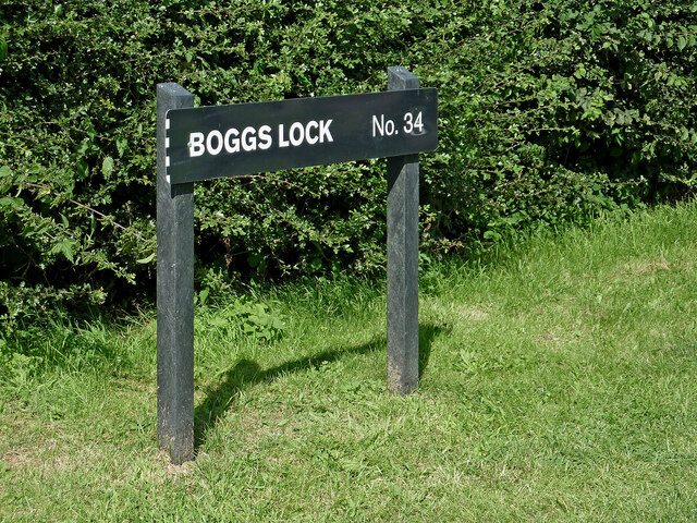
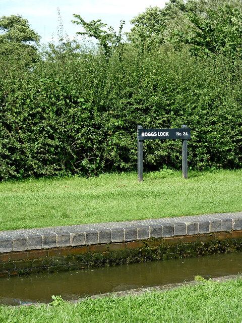
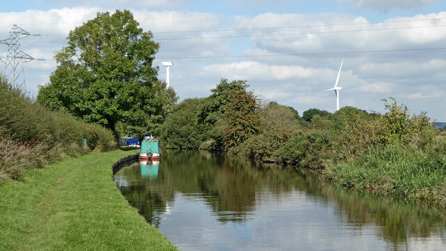
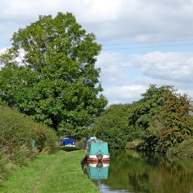
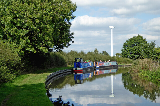
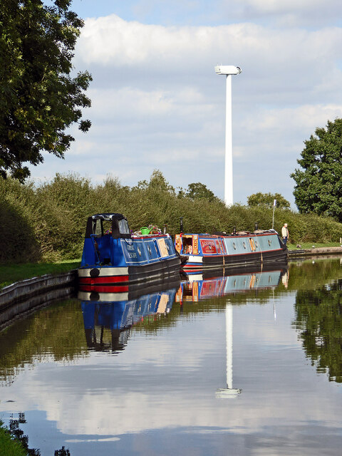
Calf Heath Images
Images are sourced within 2km of 52.681781/-2.1054824 or Grid Reference SJ9209. Thanks to Geograph Open Source API. All images are credited.
Calf Heath is located at Grid Ref: SJ9209 (Lat: 52.681781, Lng: -2.1054824)
Administrative County: Staffordshire
District: South Staffordshire
Police Authority: Staffordshire
What 3 Words
///springing.deduct.geese. Near Coven, Staffordshire
Nearby Locations
Related Wikis
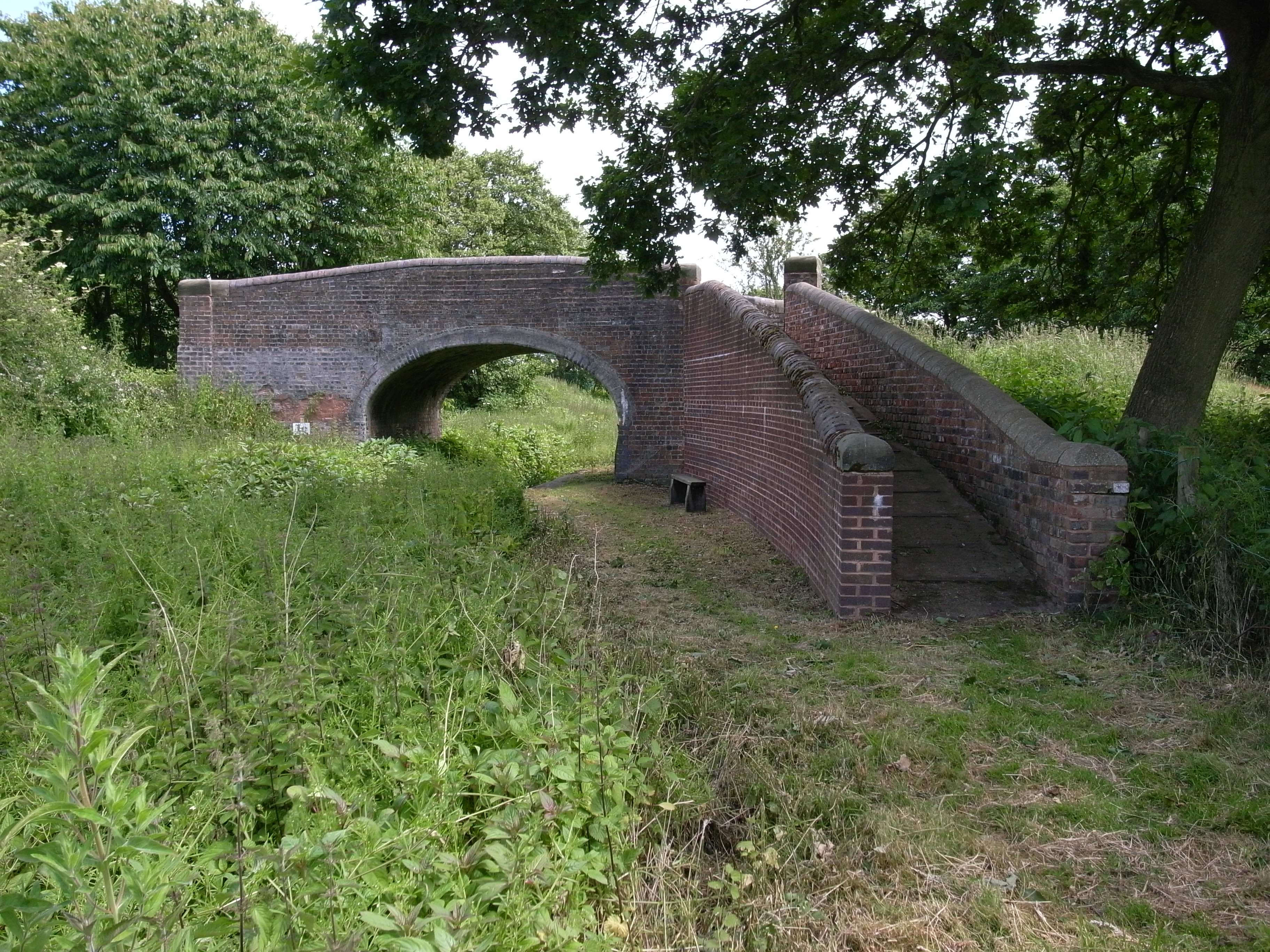
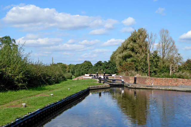
Hatherton Canal
The Hatherton Canal is a derelict branch of the Staffordshire and Worcestershire Canal in south Staffordshire, England. It was constructed in two phases...
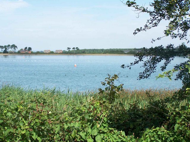
Gailey Reservoirs
Gailey Reservoir is a pair of canal feeder reservoirs in South Staffordshire, separated by a dam, and owned by the Canal & River Trust. Gailey Upper Reservoir...
Four Ashes railway station
Four Ashes railway station was a railway station built by the Grand Junction Railway in 1837.: 28 It served the small village of Four Ashes, Staffordshire...

Four Ashes, Staffordshire
Four Ashes is a village in the district of South Staffordshire in Staffordshire, England, located about 4 miles (6.4 km) west of Cannock, 7 miles (11 km...
Nearby Amenities
Located within 500m of 52.681781,-2.1054824Have you been to Calf Heath?
Leave your review of Calf Heath below (or comments, questions and feedback).