Dodgson Allotment
Downs, Moorland in Yorkshire Pendle
England
Dodgson Allotment

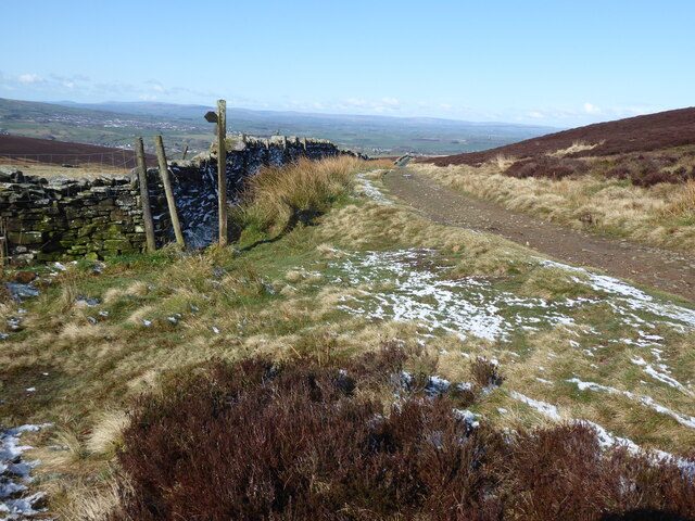
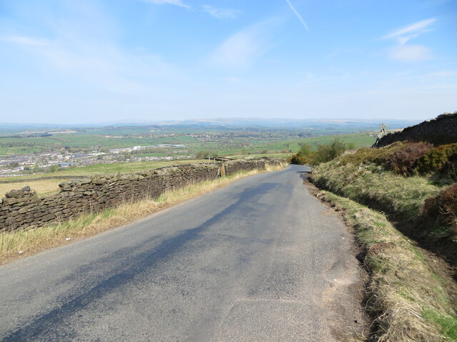
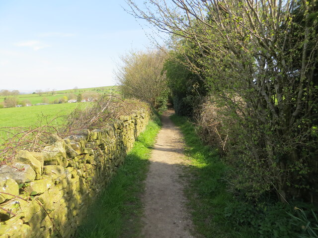
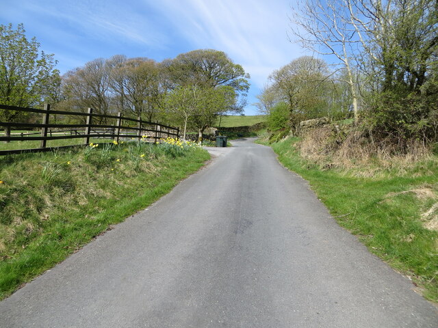
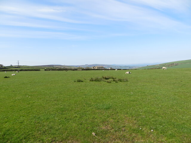
Dodgson Allotment is a picturesque piece of land located in Yorkshire, England. Nestled amidst the stunning Yorkshire Downs and Moorland, this allotment offers a unique and tranquil setting for gardening enthusiasts.
Covering an area of approximately 1 acre, Dodgson Allotment is divided into smaller plots, each designated for individual gardeners. The allotment boasts fertile soil, thanks to its proximity to the Moorland, allowing for the cultivation of a wide variety of plants and vegetables.
The surrounding landscape is breathtaking, with rolling hills, expansive moorlands, and a diverse range of flora and fauna. The allotment is blessed with a mild climate, making it suitable for gardening throughout the year.
Gardeners at Dodgson Allotment can enjoy a range of amenities and facilities. There is a communal tool shed where residents can borrow gardening tools, ensuring they have everything they need for their gardening endeavors. Additionally, a water source is available on-site, providing a convenient and sustainable way to irrigate the plants.
The allotment also encourages a sense of community among its residents. Gardeners have the opportunity to interact and share their knowledge and experiences. Regular social events and workshops are organized, fostering a friendly and supportive atmosphere.
Dodgson Allotment is easily accessible, with good road connections and ample parking facilities. It provides a peaceful escape from the hustle and bustle of city life, allowing gardeners to connect with nature and indulge in their passion for horticulture.
If you have any feedback on the listing, please let us know in the comments section below.
Dodgson Allotment Images
Images are sourced within 2km of 53.908164/-2.1084792 or Grid Reference SD9245. Thanks to Geograph Open Source API. All images are credited.


Dodgson Allotment is located at Grid Ref: SD9245 (Lat: 53.908164, Lng: -2.1084792)
Division: West Riding
Administrative County: Lancashire
District: Pendle
Police Authority: Lancashire
What 3 Words
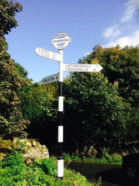
///ticket.keep.pizzeria. Near Earby, Lancashire
Nearby Locations
Related Wikis

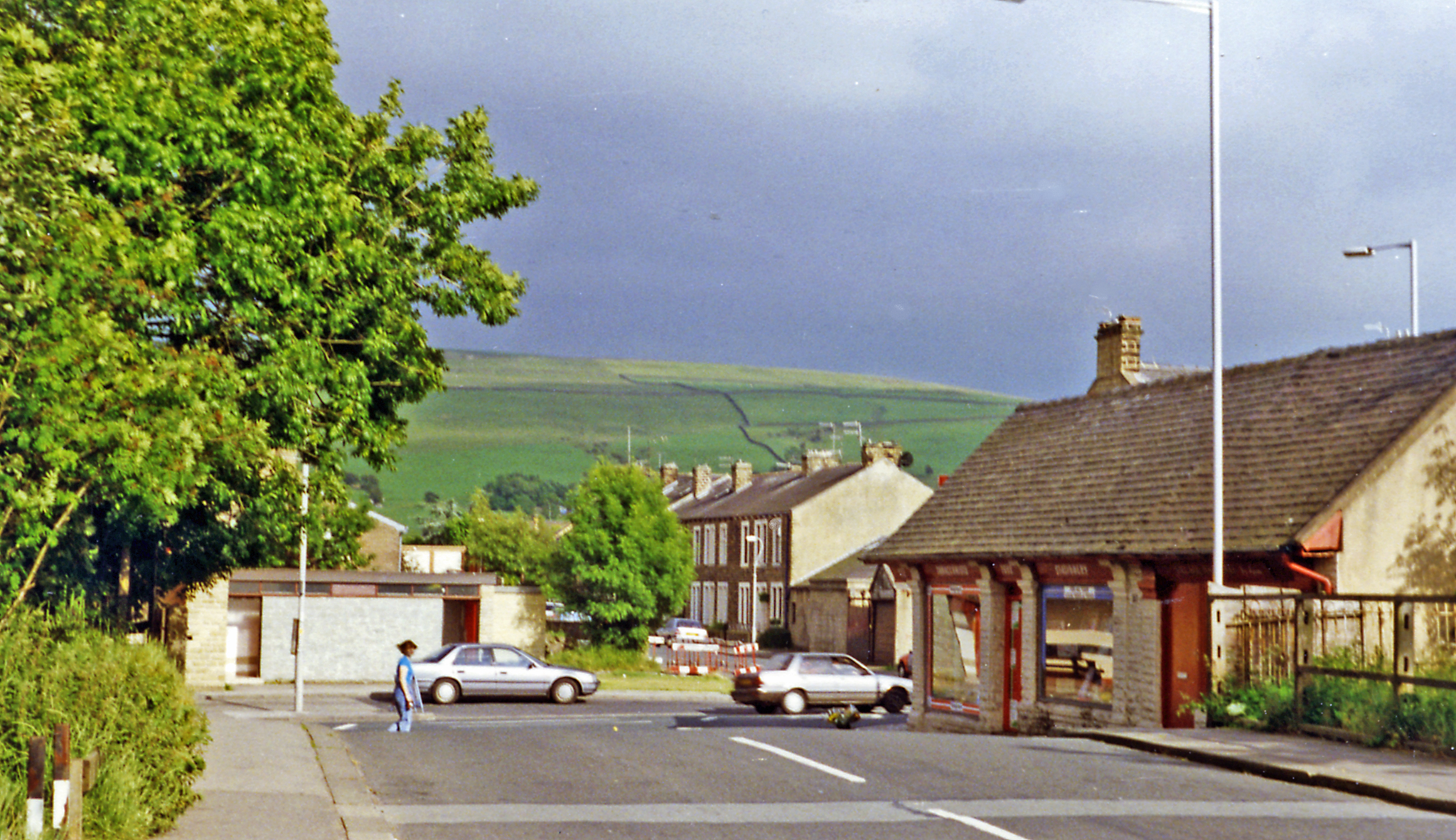
Earby
Earby is a town and civil parish within the Borough of Pendle, Lancashire, England. Although within the boundaries of the historic West Riding of Yorkshire...

Sough, Lancashire
Sough is a hamlet, in Lancashire, England. Sough is located east of the main A56 road between Earby and Kelbrook; it is in the area known as West Craven...
Earby railway station
Earby railway station was a junction station that served the town of Earby, in the West Riding of Yorkshire, England. Since 1974 Earby is within the boundaries...

A58 road
The A58 is a major road in Northern England running between Prescot, Merseyside and Wetherby, West Yorkshire. == Route from West to East == Its westbound...
Nearby Amenities
Located within 500m of 53.908164,-2.1084792Have you been to Dodgson Allotment?
Leave your review of Dodgson Allotment below (or comments, questions and feedback).