Bleara Moor

Downs, Moorland in Yorkshire Pendle

England

Bleara Moor

Unknown cutmark Unknown cutmark on Standridge Clough Lane
Unknown cutmark Credit: Loz

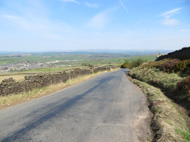
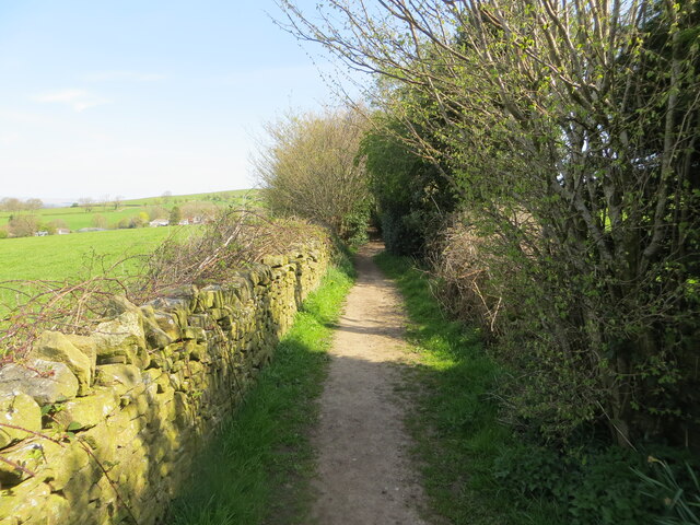
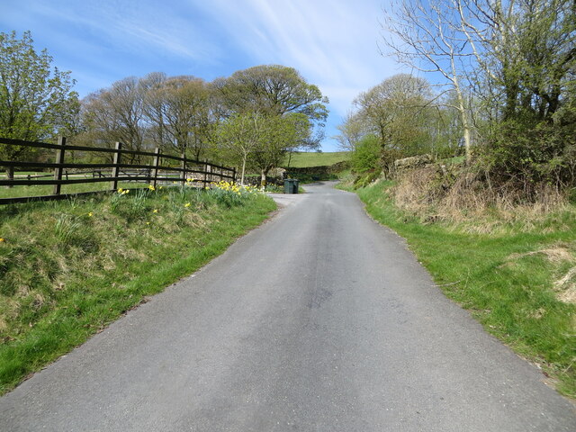
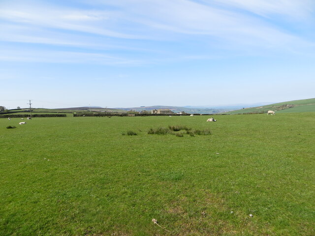
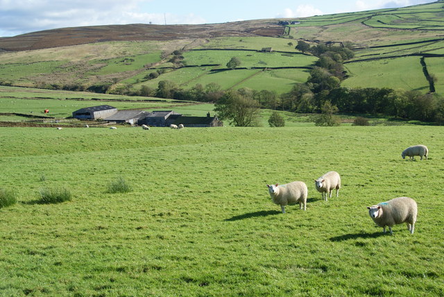
Bleara Moor is a sprawling expanse of moorland located in Yorkshire, England. Situated in the Yorkshire Downs, it is a picturesque area known for its rugged beauty and rich natural diversity. The moor covers an extensive area, spanning several miles, and is characterized by its rolling hills, heather-covered landscapes, and scattered rocky outcrops.

The moorland is home to a wide variety of flora and fauna, with heather dominating the landscape, providing a vibrant purple hue during the summer months. Other plant species such as bilberry, cotton grass, and various grasses can also be found, adding to the area's biodiversity. This unique ecosystem supports a range of wildlife, including birds of prey such as kestrels and buzzards, as well as smaller mammals like rabbits and hares.

Bleara Moor offers visitors a chance to experience the raw beauty of the Yorkshire countryside. It is a popular destination for outdoor enthusiasts, hikers, and nature lovers, who can explore the numerous walking trails that crisscross the moor. The trails offer stunning panoramic views of the surrounding countryside, including the rolling hills and valleys that make up the Yorkshire Downs.

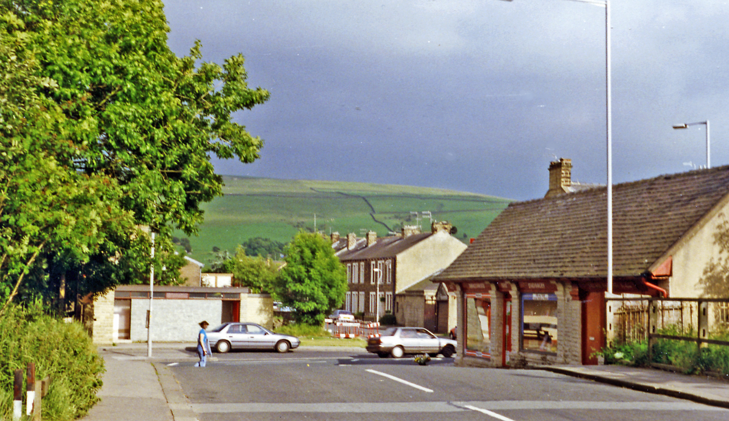
Despite its remote and wild appearance, Bleara Moor is easily accessible, with several access points and parking areas available for visitors. The moor is also home to a few small settlements and farms, which have been present for centuries and contribute to the area's rich cultural heritage.

Overall, Bleara Moor is a captivating and diverse natural landscape that showcases the beauty of the Yorkshire Downs, making it a must-visit location for those seeking to immerse themselves in the tranquility of the moorland.

If you have any feedback on the listing, please let us know in the comments section below.

Bleara Moor Images

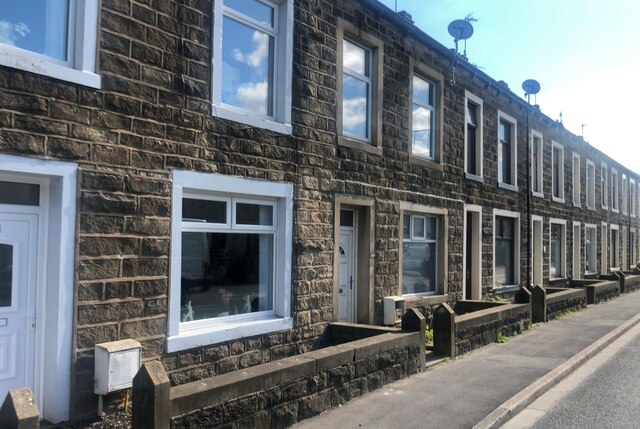
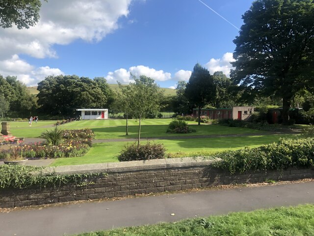
Images are sourced within 2km of 53.906788/-2.1190239 or Grid Reference SD9245. Thanks to Geograph Open Source API. All images are credited.

Unknown cutmark Unknown cutmark on Standridge Clough Lane
Unknown cutmark
Unknown cutmark on Standridge Clough Lane
Bleara Road at its junction with West Road Looking north-eastward.
Bleara Road at its junction with West Road
Looking north-eastward.
A wall enclosed Bleara Road approaching Bleara Side Looking south-westward.
A wall enclosed Bleara Road approaching Bleara Side
Looking south-westward.
Coolham Lane descending towards Earby Looking northward.
Coolham Lane descending towards Earby
Looking northward.
Mill Lane footpath near Earby Looking north-westward. The path is used by the Pendle Way path.
Mill Lane footpath near Earby
Looking north-westward. The path is used by the Pendle Way path.
Pastureland hosting  a crop of sheep and lambs Looking south-westward from Mitton Lane towards the communication masts on Proctor Height Hill.
Pastureland hosting a crop of sheep and lambs
Looking south-westward from Mitton Lane towards the communication masts on Proctor Height Hill.
Mitton Lane near the entrance to Bent Laithe Farm Looking north-westward.
Mitton Lane near the entrance to Bent Laithe Farm
Looking north-westward.
A wall enclosed Winter Gap Lane near Raygill Looking south-westward.
A wall enclosed Winter Gap Lane near Raygill
Looking south-westward.
Pastureland hosting a crop of sheep and lambs Looking south-westward from Centre Road near to East Hainslack.
Pastureland hosting a crop of sheep and lambs
Looking south-westward from Centre Road near to East Hainslack.
Shops on Colne Road
Shops on Colne Road
Terraced housing, Earby A row of two-up two-downs on Colne Road
Terraced housing, Earby
A row of two-up two-downs on Colne Road
Sough Park Bowling greens at the park
Sough Park
Bowling greens at the park
Pennine Bridleway / Pendle Way above Kelbrook Pennine Bridleway / Pendle Way above and east of Kelbrook
Pennine Bridleway / Pendle Way above Kelbrook
Pennine Bridleway / Pendle Way above and east of Kelbrook
Bridleway gate at field boundary Bridleway gate at field boundary on the Pennine bridleway / Pendle way above Kelbrook
Bridleway gate at field boundary
Bridleway gate at field boundary on the Pennine bridleway / Pendle way above Kelbrook
Pennine Bridleway / Pendle Way above Kelbrook Bridleway to the south west of Harden Old Barn
Pennine Bridleway / Pendle Way above Kelbrook
Bridleway to the south west of Harden Old Barn
Old Milestone, A56 Between Earby and Kelbrook (Sough). Located on the East side of road, on verge opposite No. 208. Metal plate attached to stone post, WR casting design, 19th century. 

Inscription reads: COLNE / 4 MILES :: SKIPTON / 8 MILES :: COLNE / & / BROUGHTON / ROAD / EARBY

Milestone Society National ID: YW_SKCO08
Old Milestone, A56
Between Earby and Kelbrook (Sough). Located on the East side of road, on verge opposite No. 208. Metal plate attached to stone post, WR casting design, 19th century. Inscription reads: COLNE / 4 MILES :: SKIPTON / 8 MILES :: COLNE / & / BROUGHTON / ROAD / EARBY Milestone Society National ID: YW_SKCO08
Sheep above Oak Slack Farm A farm in the valley of Wentcliff Brook above Earby.
Sheep above Oak Slack Farm
A farm in the valley of Wentcliff Brook above Earby.
Thornton Highgate A smallholding on Gaylands Lane above Earby which can be seen in the valley bottom.
Thornton Highgate
A smallholding on Gaylands Lane above Earby which can be seen in the valley bottom.
Show me another place!

Bleara Moor is located at Grid Ref: SD9245 (Lat: 53.906788, Lng: -2.1190239)

Division: West Riding

Administrative County: Lancashire

District: Pendle

Police Authority: Lancashire

What 3 Words

///untrained.elbow.aimless. Near Earby, Lancashire

Related Wikis

Earby

Earby is a town and civil parish within the Borough of Pendle, Lancashire, England. Although within the boundaries of the historic West Riding of Yorkshire...

Sough, Lancashire

Sough is a hamlet, in Lancashire, England. Sough is located east of the main A56 road between Earby and Kelbrook; it is in the area known as West Craven...

Earby railway station

Earby railway station was a junction station that served the town of Earby, in the West Riding of Yorkshire, England. Since 1974 Earby is within the boundaries...

A58 road

The A58 is a major road in Northern England running between Prescot, Merseyside and Wetherby, West Yorkshire. == Route from West to East == Its westbound...

Nearby Amenities

Located within 500m of 53.906788,-2.1190239
The data included in this document is from www.openstreetmap.org. The data is made available under ODbL.

Have you been to Bleara Moor?

Leave your review of Bleara Moor below (or comments, questions and feedback).