Bleara Lowe
Heritage Site in Yorkshire Pendle
England
Bleara Lowe

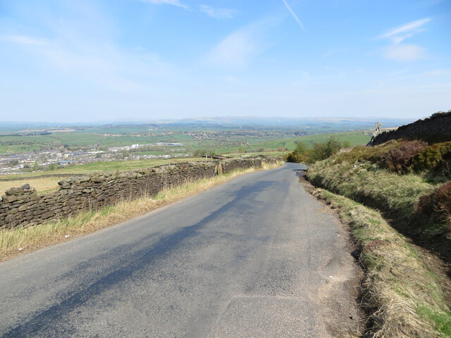
Bleara Lowe is a historical heritage site located in Yorkshire, England. Situated in the picturesque countryside of the Yorkshire Dales, this ancient landmark holds great cultural and historical significance.
Bleara Lowe is a collection of stone ruins, believed to be remnants of a medieval village that thrived during the 14th and 15th centuries. The ruins consist of a series of stone walls, foundations, and a few standing structures that provide a glimpse into the past. The site covers a relatively small area, but its well-preserved state allows visitors to imagine what life would have been like in this medieval settlement.
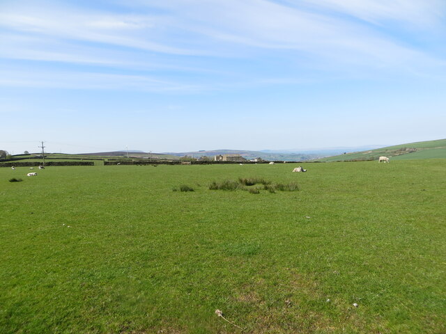
The village was likely a farming community, with evidence of small agricultural plots and animal enclosures. Some of the structures indicate the presence of dwellings, possibly housing a small population of peasants and farmers.
Visitors to Bleara Lowe can explore the site and observe the architectural features of the ruins, which include arched doorways and windows, as well as remnants of fireplaces and stone floors. The stone walls have weathered over time, but their sturdy construction is still evident.
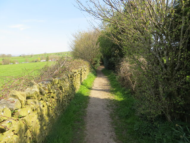
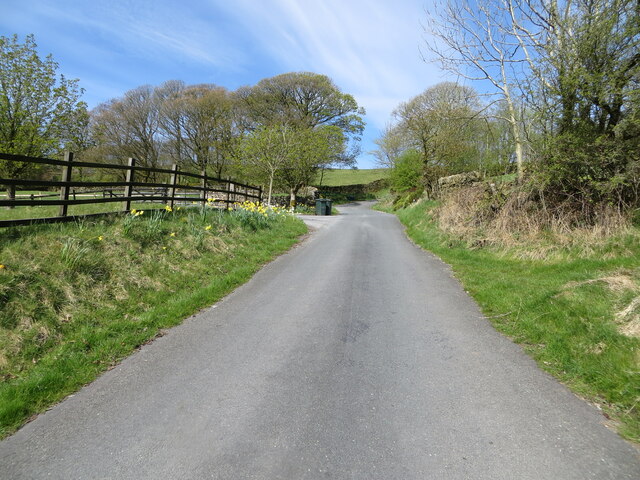
The heritage site is accessible via a walking trail that winds through the picturesque countryside. The surrounding area offers breathtaking views of the Yorkshire Dales, making it a popular destination for nature enthusiasts and history buffs alike.
Overall, Bleara Lowe is a captivating heritage site that provides a glimpse into the medieval past of Yorkshire. Its well-preserved ruins and scenic location make it a must-visit destination for those interested in history and the beauty of the English countryside.
If you have any feedback on the listing, please let us know in the comments section below.
Bleara Lowe Images
Images are sourced within 2km of 53.905/-2.113 or Grid Reference SD9245. Thanks to Geograph Open Source API. All images are credited.


![Earby Youth Hostel Currently [2005] earmarked for closure as a Youth Hostel (see <a href="https://www.geograph.org.uk/photo/48479">NY8483 : Bellingham Youth Hostel</a> and <a href="https://www.geograph.org.uk/photo/48589">NT7602 : Byrness Youth Hostel</a> for other Pennine Way hostels in a similar plight). [Update: I&#039;m glad to hear that the hostel was purchased by Pendle Borough Council and leased back to YHA to continue operating, and has an active Friends group.]](https://s2.geograph.org.uk/photos/04/62/046226_f69065be.jpg)

Bleara Lowe is located at Grid Ref: SD9245 (Lat: 53.905, Lng: -2.113)
Division: West Riding
Administrative County: Lancashire
District: Pendle
Police Authority: Lancashire
What 3 Words
///climber.sailing.louder. Near Earby, Lancashire
Nearby Locations
Related Wikis

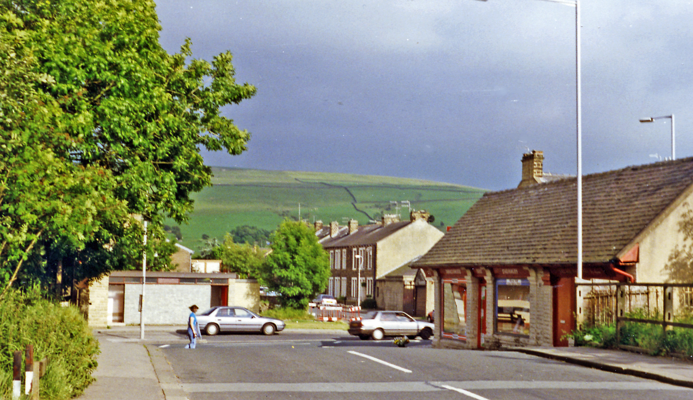
Earby
Earby is a town and civil parish within the Borough of Pendle, Lancashire, England. Although within the boundaries of the historic West Riding of Yorkshire...

Sough, Lancashire
Sough is a hamlet, in Lancashire, England. Sough is located east of the main A56 road between Earby and Kelbrook; it is in the area known as West Craven...
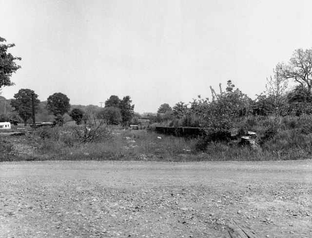
Earby railway station
Earby railway station was a junction station that served the town of Earby, in the West Riding of Yorkshire, England. Since 1974 Earby is within the boundaries...

A58 road
The A58 is a major road in Northern England running between Prescot, Merseyside and Wetherby, West Yorkshire. == Route from West to East == Its westbound...
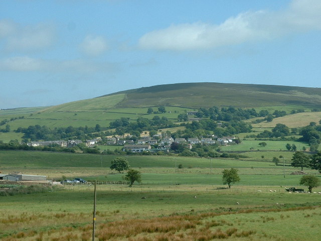
Kelbrook
Kelbrook is a village in the civil parish of Kelbrook and Sough, Borough of Pendle, in Lancashire, England. It lies on the A56 road between Colne and Earby...

Kelbrook and Sough
Kelbrook and Sough is a civil parish in the Pendle district of Lancashire, England. It has a population of 1,008, and contains the village of Kelbrook...
Elslack
Elslack is a village and civil parish in the Craven district of North Yorkshire, England, close to the border with Lancashire and 4 miles west of Skipton...
Thornton-in-Craven railway station
Thornton-in-Craven railway station was a railway station that served the small village of Thornton-in-Craven in North Yorkshire (formerly the West Riding...
Nearby Amenities
Located within 500m of 53.905,-2.113Have you been to Bleara Lowe?
Leave your review of Bleara Lowe below (or comments, questions and feedback).