Higher Shore Wood
Wood, Forest in Lancashire
England
Higher Shore Wood
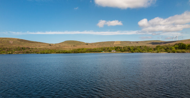
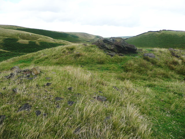
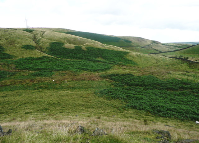
Higher Shore Wood is a picturesque forest located in Lancashire, England. Covering an area of approximately 100 hectares, this woodland is a popular destination for nature lovers and outdoor enthusiasts. The forest is characterized by its diverse range of tree species, including oak, beech, and birch, creating a rich and vibrant ecosystem.
Visitors to Higher Shore Wood can explore a network of well-maintained walking trails that wind through the forest, offering stunning views of the surrounding countryside. The forest is home to a variety of wildlife, including deer, foxes, and a wide range of bird species, making it a haven for nature lovers and wildlife enthusiasts.
Higher Shore Wood is also known for its historical significance, with evidence of ancient settlements and industrial activity dating back centuries. The forest is managed by the Forestry Commission, ensuring that it remains a sustainable and thriving natural resource for future generations to enjoy.
Overall, Higher Shore Wood is a tranquil and beautiful woodland that offers a peaceful escape from the hustle and bustle of everyday life, making it a must-visit destination for anyone looking to reconnect with nature.
If you have any feedback on the listing, please let us know in the comments section below.
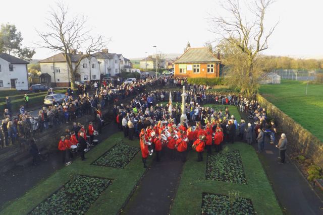
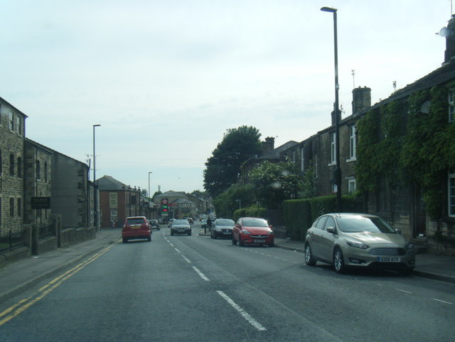
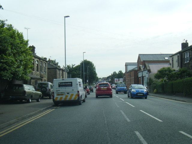
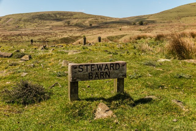
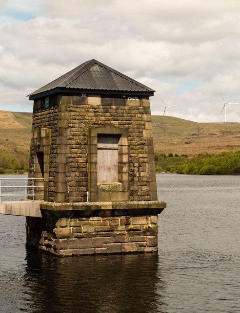
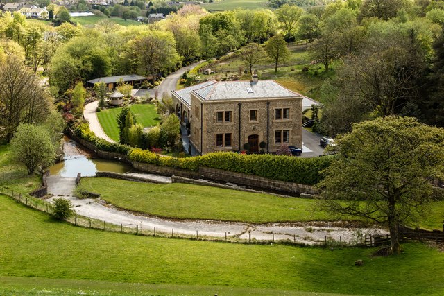
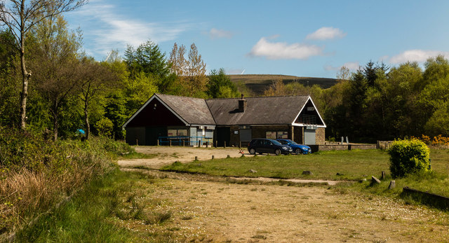
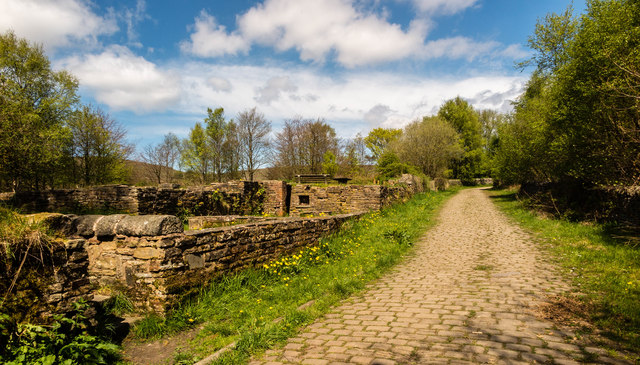
Higher Shore Wood Images
Images are sourced within 2km of 53.65338/-2.1189277 or Grid Reference SD9217. Thanks to Geograph Open Source API. All images are credited.


Higher Shore Wood is located at Grid Ref: SD9217 (Lat: 53.65338, Lng: -2.1189277)
Unitary Authority: Rochdale
Police Authority: Greater Manchester
What 3 Words
///bids.backs.link. Near Wardle, Manchester
Nearby Locations
Related Wikis

Wardle, Greater Manchester
Wardle (; pop. 7,092) is a village near Littleborough within the Metropolitan Borough of Rochdale, in Greater Manchester, England. It lies amongst the...

Watergrove Reservoir
Watergrove Reservoir is a reservoir close to Wardle in the Metropolitan Borough of Rochdale, within Greater Manchester, England. Rochdale Corporation...

Wardle Academy
Wardle Academy is a coeducational secondary school with academy status, located in Wardle, Greater Manchester, England. It was founded in September 1977...

Birch Hill Hospital
Birch Hill Hospital is a health facility in Wardle, Littleborough, near Rochdale, Greater Manchester. It was managed by Pennine Acute Hospitals NHS Trust...
Related Videos
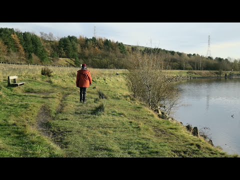
Watergrove Valley
Some of our walks were filmed earlier than recent walks. Watergrove Valley is one of them. It's local and not the first time we've ...
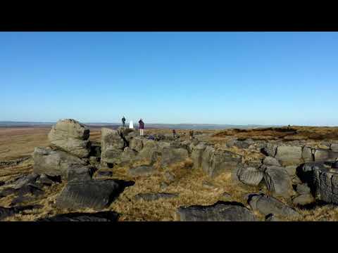
Hill spotting 16 ,Hiking near Littleborough.(drone flight).
Hill spotting 16, We head up to the trig point between the Whitehouse pub and the M62 footbridge on the penning way. It's only a ...

Littleborough walking Route 1 - King William IV, Shore Moor, Watergrove Reservoir
Walking routes around Littleborough, for everyone to enjoy. This is a route starting at The King William IV pub in Shore, heading ...

soggy walk around Watergrove reservoir and up in the hills.
soggy wet sunny walk #wardle #Rochdale #watergrove #walk #walking https://amzn.to/48qjF2e.
Nearby Amenities
Located within 500m of 53.65338,-2.1189277Have you been to Higher Shore Wood?
Leave your review of Higher Shore Wood below (or comments, questions and feedback).