High Wood

Wood, Forest in Worcestershire Bromsgrove

England

High Wood

Park Gate Inn This pub is marked in the OS map and situated on what is now an almost isolated loop off the main Bromsgrove Kidderminster road.
Park Gate Inn Credit: David Stowell

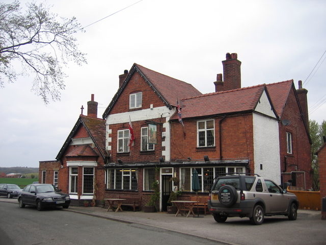
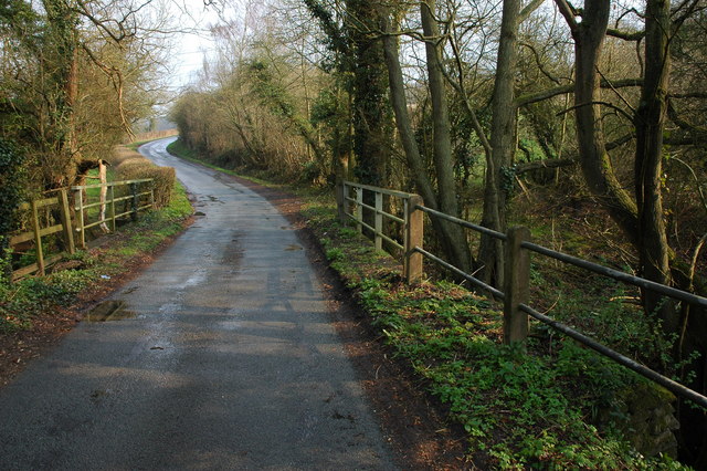
High Wood is a small village located in the county of Worcestershire, England. Situated in the heart of the scenic Wyre Forest, the village is surrounded by lush greenery and woodland, making it an ideal destination for nature enthusiasts and hikers.

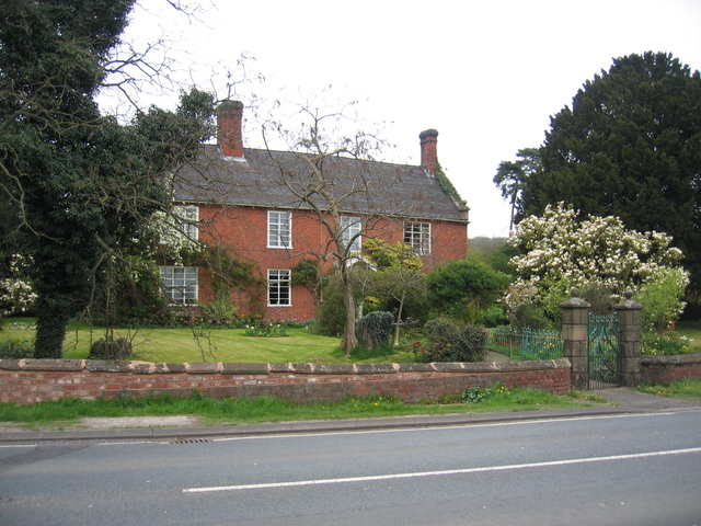
The village itself is characterized by its quaint charm and peaceful atmosphere. It consists of a small cluster of houses, many of which have retained their traditional architectural style. The community in High Wood is tight-knit and friendly, with a strong sense of community spirit.

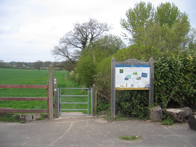
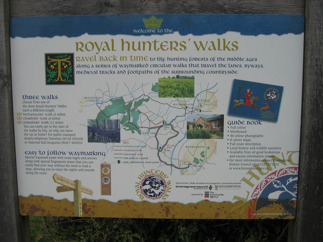
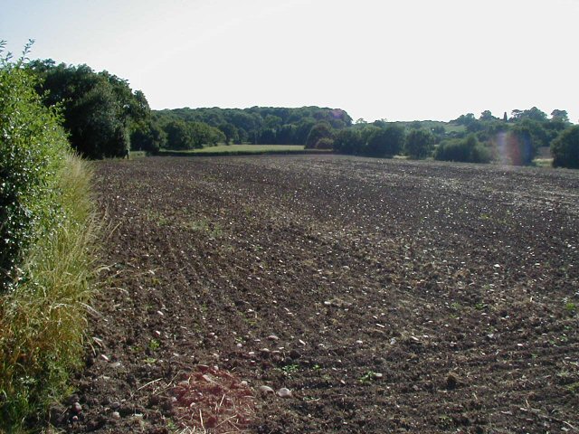
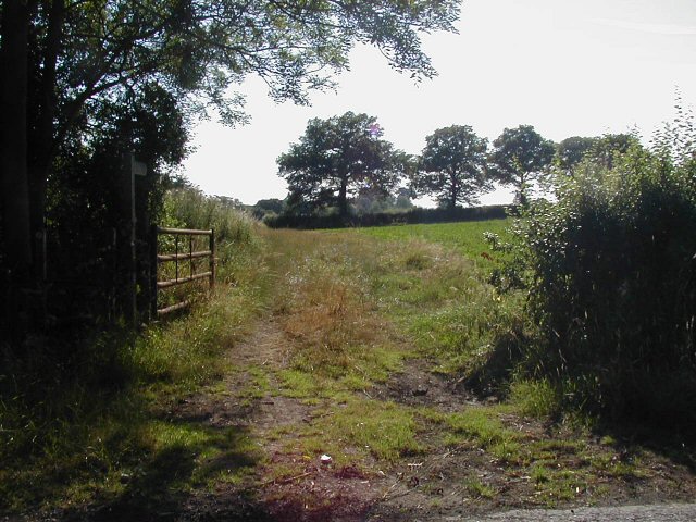
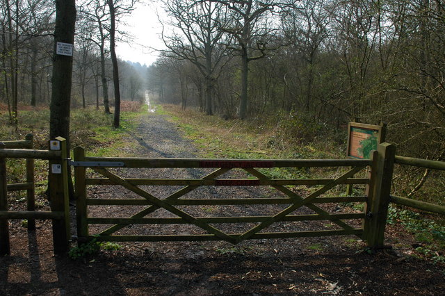
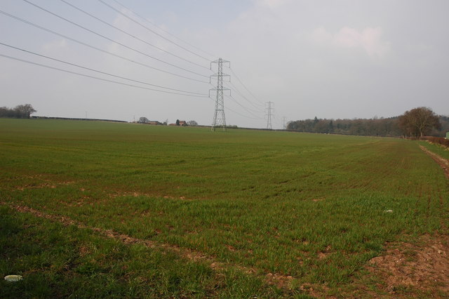
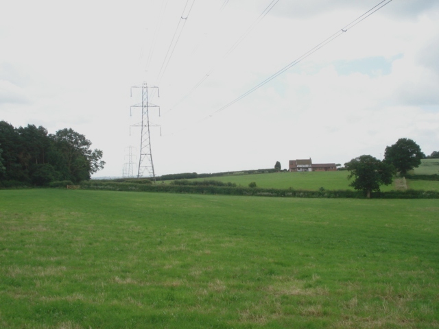
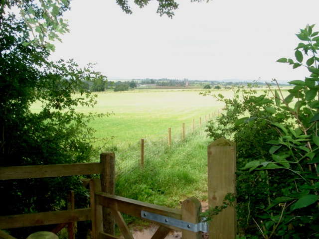
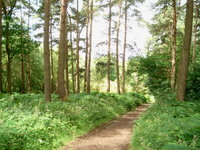
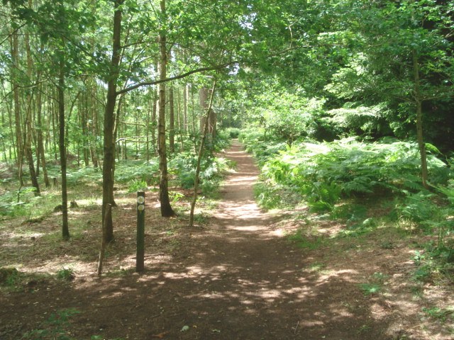
One of the main attractions of High Wood is its proximity to the Wyre Forest. Covering an area of approximately 6,000 acres, the forest offers a plethora of outdoor activities, including walking, cycling, and horse riding trails. The forest is also home to various wildlife species, such as deer, badgers, and a wide variety of birds, making it a haven for nature lovers.

In addition to its natural beauty, High Wood is also conveniently located near the town of Bewdley, which is just a short drive away. Bewdley boasts a range of amenities, including shops, restaurants, and pubs, providing residents of High Wood with easy access to modern conveniences.

Overall, High Wood, Worcestershire is a picturesque village nestled in the heart of the Wyre Forest. With its beautiful surroundings and close proximity to Bewdley, it offers residents a peaceful and idyllic lifestyle.

If you have any feedback on the listing, please let us know in the comments section below.

High Wood Images

Images are sourced within 2km of 52.351617/-2.1154835 or Grid Reference SO9272. Thanks to Geograph Open Source API. All images are credited.

Park Gate Inn This pub is marked in the OS map and situated on what is now an almost isolated loop off the main Bromsgrove Kidderminster road.
Park Gate Inn
This pub is marked in the OS map and situated on what is now an almost isolated loop off the main Bromsgrove Kidderminster road.
One Oak These premises beside the Kidderminster Road near Dodford house the interesting combination of an Indian Restaurant and an ornamental gate manufacturers.
One Oak
These premises beside the Kidderminster Road near Dodford house the interesting combination of an Indian Restaurant and an ornamental gate manufacturers.
Woodcote Farm Situated beside the Kidderminster Road, this old farm now does B&B and has holiday cottages.  The farmhouse actually sits along the northern edge of the square.
Woodcote Farm
Situated beside the Kidderminster Road, this old farm now does B&B and has holiday cottages. The farmhouse actually sits along the northern edge of the square.
Footpaths from Park Gate A number of named trails set off from the car park of the Park Gate in. See <a href="https://www.geograph.org.uk/photo/161592">SO9371 : Footpath "interpretation" sign board.</a>.
Footpaths from Park Gate
A number of named trails set off from the car park of the Park Gate in. See SO9371 : Footpath "interpretation" sign board..
Footpath "interpretation" sign board. Close up of the sign in the car park of the Park Gate Inn <a href="https://www.geograph.org.uk/photo/161591">SO9371 : Footpaths from Park Gate</a>.
Footpath "interpretation" sign board.
Close up of the sign in the car park of the Park Gate Inn SO9371 : Footpaths from Park Gate.
Cross Roads for Dodford The sign at the junction with the Kidderminster Road on the eastern edge of the square is occasionally the target for witless vandalism!
Cross Roads for Dodford
The sign at the junction with the Kidderminster Road on the eastern edge of the square is occasionally the target for witless vandalism!
Holy Trinity and St. Mary Church, Dodford Built in 1908 with "Arts and Crafts" style features and stonework embellished by the Bromsgrove Guild.
Holy Trinity and St. Mary Church, Dodford
Built in 1908 with "Arts and Crafts" style features and stonework embellished by the Bromsgrove Guild.
Chartists Cottage, Dodford Original Chartists cottage on subsistence block in the village of Dodford which was established in 1849.
Chartists Cottage, Dodford
Original Chartists cottage on subsistence block in the village of Dodford which was established in 1849.
Ploughed and harrowed field
Footpath
Footpath
Bridge over Hockley Brook
Chaddesley Wood Chaddesley Wood is a National Nature Reserve.
Chaddesley Wood
Chaddesley Wood is a National Nature Reserve.
Farm buildings near Woodcote Green
Pylons and farmland near Woodcote Green
Chaddesley Wood Farm With Chaddesley Wood to the left.
Chaddesley Wood Farm
With Chaddesley Wood to the left.
View from the edge of Chaddesley Wood
Chaddesley Wood This wood is managed by Natural England (ex English Nature) and it is a designated National Nature Reserve. It was once part of the Royal Hunting Forest of Feckenham and there are many interesting walks.
<span class="nowrap"><a title="http://worcestershire.whub.org.uk/cms/environment-and-planning/countryside/waymarked-walks/off-site-circular-trails/royal-hunters-walks.aspx" rel="nofollow ugc noopener" href="http://worcestershire.whub.org.uk/cms/environment-and-planning/countryside/waymarked-walks/off-site-circular-trails/royal-hunters-walks.aspx">Link</a><img style="margin-left:2px;" alt="External link" title="External link - shift click to open in new window" src="https://s1.geograph.org.uk/img/external.png" width="10" height="10"/></span>
Chaddesley Wood
This wood is managed by Natural England (ex English Nature) and it is a designated National Nature Reserve. It was once part of the Royal Hunting Forest of Feckenham and there are many interesting walks. LinkExternal link
Path junction in Chaddesley Wood
Show me another place!

High Wood is located at Grid Ref: SO9272 (Lat: 52.351617, Lng: -2.1154835)

Administrative County: Worcestershire

District: Bromsgrove

Police Authority: West Mercia

What 3 Words

///clattered.overheat.snail. Near Bromsgrove, Worcestershire

Related Wikis

Rosedene

Rosedene is a cottage built as part of the Great Dodford Chartist settlement. It is the best preserved example of a Chartist cottage built by the National...

Dodford Priory

Dodford Priory in the parish of Bromsgrove in Worcestershire in the current village of Dodford, was a small Augustinian monastery. == History == It was...

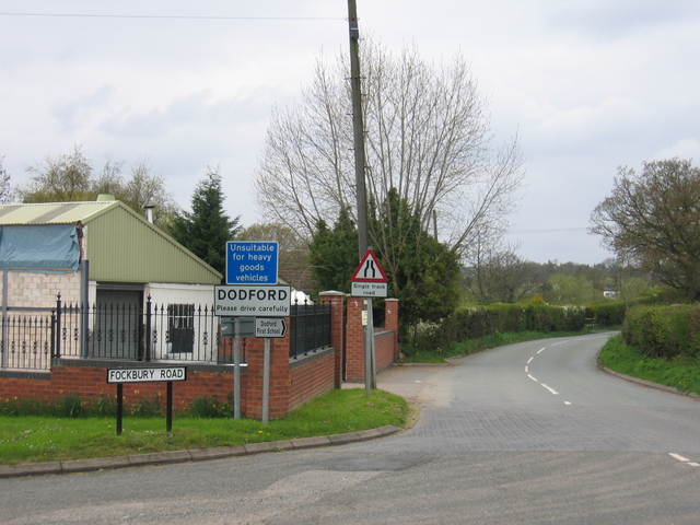
Dodford, Worcestershire

Dodford is a village in the Bromsgrove district of Worcestershire, England, approximately 3 miles (4.8 km) west of Bromsgrove, officially founded on 2...

Chaddesley Woods National Nature Reserve

Chaddesley Woods National Nature Reserve is situated near the village of Chaddesley Corbett, in Worcestershire, England. It is a reserve of the Worcestershire...

Related Videos

B123 New Years Day Chaddesley Corbett 1st January 2023

Happy New Year from B123 Walks Starting and walking around Chaddesley Woods Nature Reserve we enjoyed the stunning ...
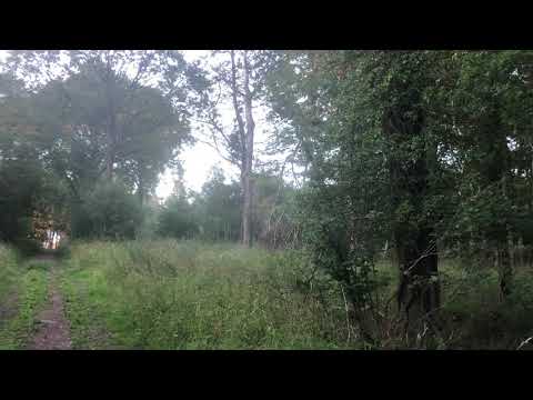
Nearby Amenities

Located within 500m of 52.351617,-2.1154835
The data included in this document is from www.openstreetmap.org. The data is made available under ODbL.

Have you been to High Wood?

Leave your review of High Wood below (or comments, questions and feedback).