Ratcliffe Hill
Hill, Mountain in Lancashire
England
Ratcliffe Hill
Ratcliffe Hill is a prominent geographical feature located in the county of Lancashire, England. Situated in the borough of Pendle, it is part of the larger Pennine Hills range.
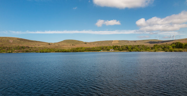
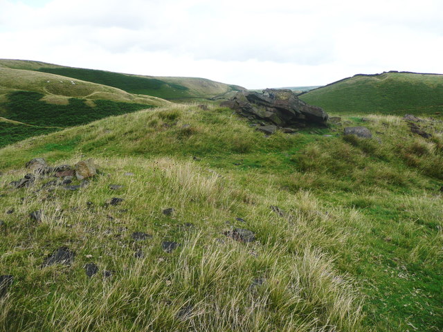
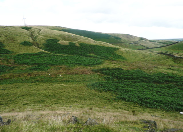
Rising to an elevation of 1,200 feet (366 meters), Ratcliffe Hill is considered a significant peak in the area, attracting both hikers and nature enthusiasts alike. Its distinct summit offers breathtaking panoramic views of the surrounding landscape, including the rolling hills, picturesque valleys, and the nearby towns of Burnley and Nelson.
The hill is known for its diverse flora and fauna, supporting a variety of wildlife species. With its heather-covered slopes and patches of woodland, Ratcliffe Hill provides a habitat for a range of bird species, including kestrels, buzzards, and several songbirds. Additionally, small mammals like rabbits, foxes, and voles can be spotted in the area.
The hill's location also holds historical significance. In the 17th century, the Pendle Witch Trials took place in the nearby Pendle Hill, which is visible from Ratcliffe Hill. This infamous event has left a lasting cultural legacy on the region, attracting historians and tourists interested in exploring the folklore surrounding the trials.
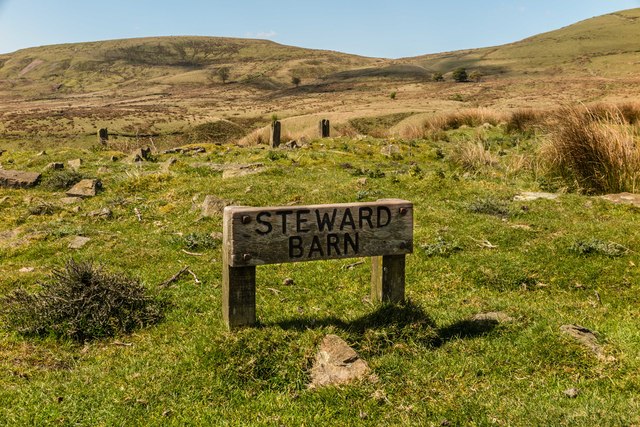
Access to Ratcliffe Hill is facilitated by a network of footpaths and trails, making it an ideal destination for outdoor activities such as hiking and nature walks. The hill's vantage point, combined with its natural beauty and historical context, makes it a popular destination for both locals and visitors seeking to immerse themselves in Lancashire's scenic countryside.
If you have any feedback on the listing, please let us know in the comments section below.
Ratcliffe Hill Images
Images are sourced within 2km of 53.655965/-2.1133669 or Grid Reference SD9217. Thanks to Geograph Open Source API. All images are credited.


Ratcliffe Hill is located at Grid Ref: SD9217 (Lat: 53.655965, Lng: -2.1133669)
Unitary Authority: Rochdale
Police Authority: Greater Manchester
What 3 Words
///adding.older.blend. Near Wardle, Manchester
Nearby Locations
Related Wikis

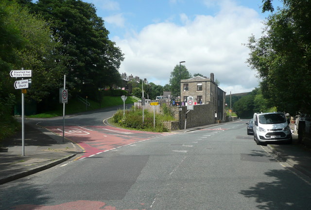
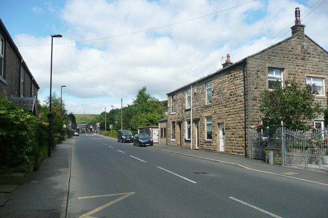
Wardle, Greater Manchester
Wardle (; pop. 7,092) is a village near Littleborough within the Metropolitan Borough of Rochdale, in Greater Manchester, England. It lies amongst the...

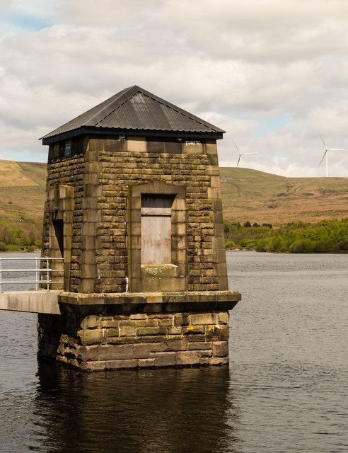
Watergrove Reservoir
Watergrove Reservoir is a reservoir close to Wardle in the Metropolitan Borough of Rochdale, within Greater Manchester, England. Rochdale Corporation...

Littleborough, Greater Manchester
Littleborough ( LIT-əl-bər-ə) is a town in the Metropolitan Borough of Rochdale, Greater Manchester, England, in the upper Roch Valley by the foothills...

Greenvale Brook
Greenvale Brook is a watercourse in Greater Manchester and a tributary of the River Roch. == Tributaries == Lydgate Brook Castle Brook Red Brook Lead Mine...
Town House Brook
Town House Brook is a watercourse in Greater Manchester and a tributary of the River Roch. == Tributaries == Long Clough Brook Turn Slack Brook Blue Pot...
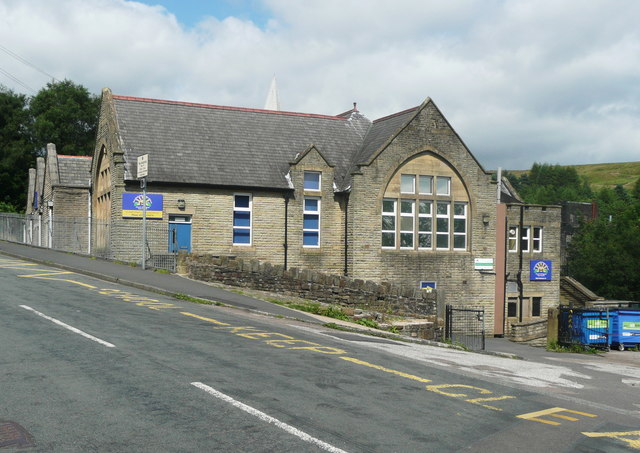
Wardle Academy
Wardle Academy is a coeducational secondary school with academy status, located in Wardle, Greater Manchester, England. It was founded in September 1977...

Birch Hill Hospital
Birch Hill Hospital is a health facility in Wardle, Littleborough, near Rochdale, Greater Manchester. It was managed by Pennine Acute Hospitals NHS Trust...

Calderbrook
Calderbrook ( KAWL-dər-bruuk) is a village within the Metropolitan Borough of Rochdale, in Greater Manchester, England. It was originally part of the township...
Nearby Amenities
Located within 500m of 53.655965,-2.1133669Have you been to Ratcliffe Hill?
Leave your review of Ratcliffe Hill below (or comments, questions and feedback).