Grey Stone Hill

Hill, Mountain in Yorkshire

England

Grey Stone Hill

Higher House With Widdop Reservoir beyond
Higher House Credit: Kevin Waterhouse

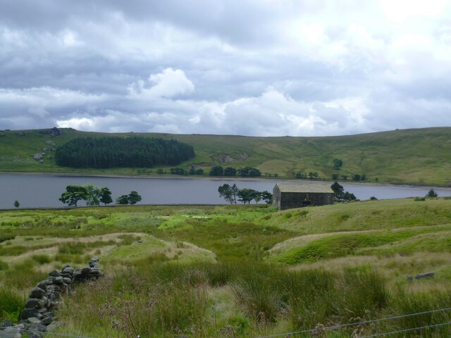
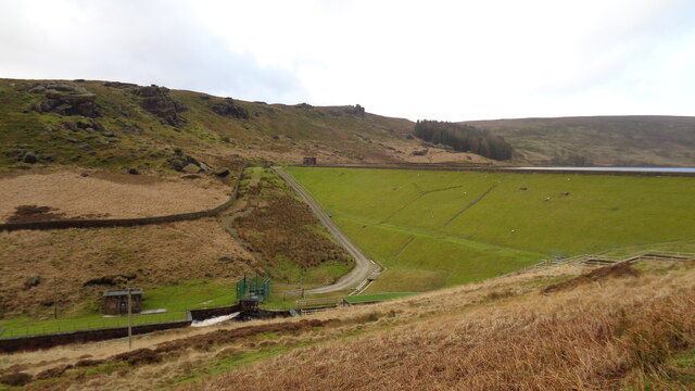
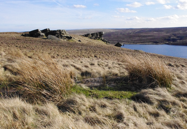
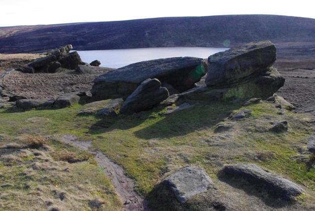
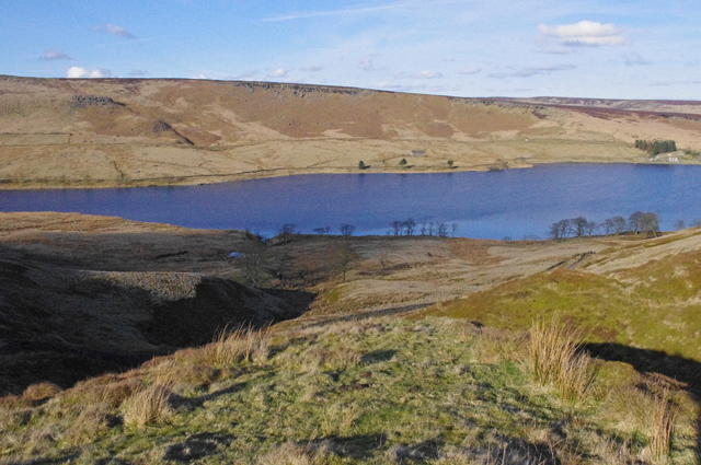
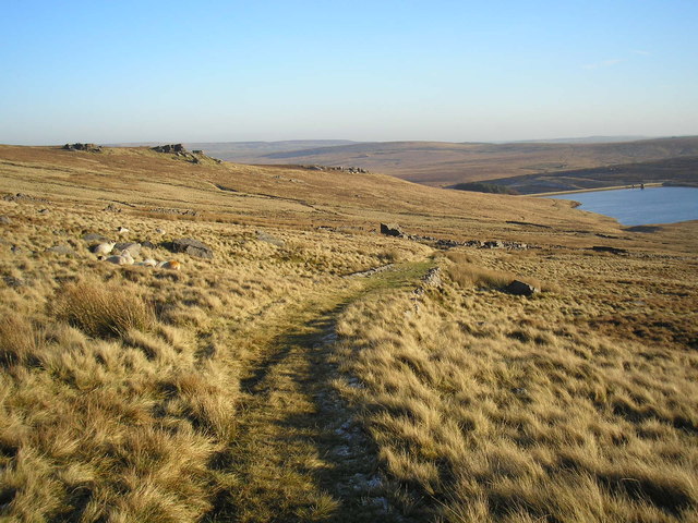
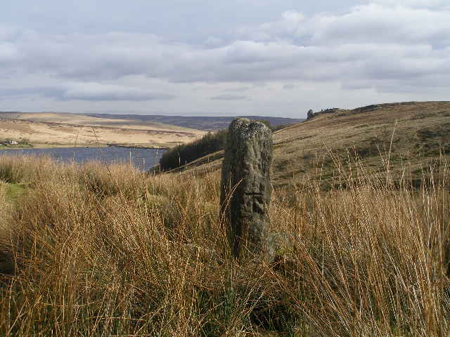
Grey Stone Hill is a prominent hill located in the county of Yorkshire, England. Situated in the picturesque Yorkshire Dales National Park, it stands proudly at an elevation of approximately 500 meters above sea level. The hill is known for its unique geological features and stunning panoramic views of the surrounding countryside.

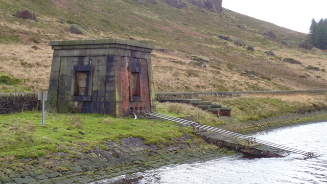
The name Grey Stone Hill is derived from the distinctive gray limestone rock formations that dominate its landscape. These rocks were formed millions of years ago during the Carboniferous period and have since eroded to create an undulating terrain of hills and valleys.

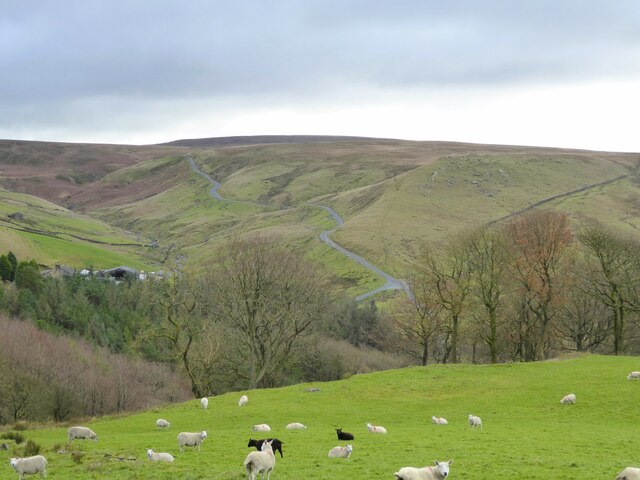
Covered in heather, grasses, and scattered shrubs, Grey Stone Hill is an important habitat for a variety of plant and animal species. It is particularly renowned for its diverse birdlife, with species such as peregrine falcons, kestrels, and curlews being commonly spotted in the area.

The hill is a popular destination for outdoor enthusiasts, offering an array of activities such as hiking, walking, and nature photography. Several footpaths and trails crisscross its slopes, allowing visitors to explore its beauty at their own pace. On a clear day, the summit of Grey Stone Hill provides breathtaking views of the Yorkshire Dales, with rolling green hills stretching as far as the eye can see.

Overall, Grey Stone Hill is an outstanding natural landmark, offering visitors a chance to immerse themselves in the captivating beauty of the Yorkshire countryside while experiencing the tranquility and serenity that only such a place can offer.

If you have any feedback on the listing, please let us know in the comments section below.

Grey Stone Hill Images

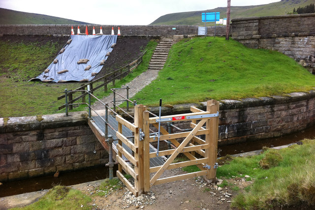
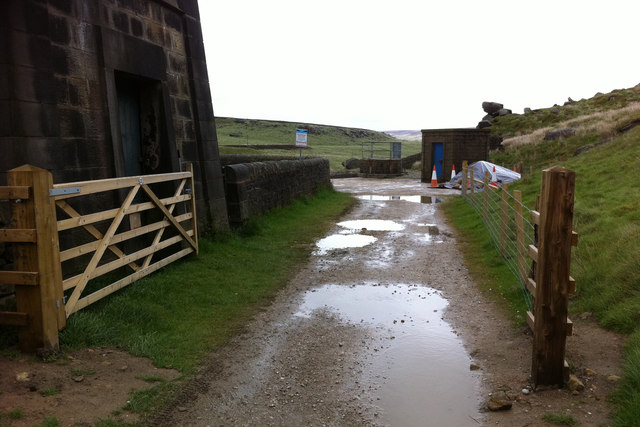
Images are sourced within 2km of 53.800844/-2.1137886 or Grid Reference SD9233. Thanks to Geograph Open Source API. All images are credited.

Higher House With Widdop Reservoir beyond
Higher House
With Widdop Reservoir beyond
Widdop Reservoir Dam View from the car park
Widdop Reservoir Dam
View from the car park
Valve House With its interesting Egyptian style build and presumably control rods going into the waters of Widdop Reservoir
Valve House
With its interesting Egyptian style build and presumably control rods going into the waters of Widdop Reservoir
Road to Widdop A minor road climbs out of the Thursden Valley towards Widdop in Yorkshire
Road to Widdop
A minor road climbs out of the Thursden Valley towards Widdop in Yorkshire
Shuttleworth Moor View towards Gorple Upper Reservoir from the Gorple Gate track.
Shuttleworth Moor
View towards Gorple Upper Reservoir from the Gorple Gate track.
Shuttleworth Moor Gritstone outcrops overlooking Gorple Upper Reservoir.
Shuttleworth Moor
Gritstone outcrops overlooking Gorple Upper Reservoir.
Bench mark, Shuttleworth Moor On a gritstone slab beside the Gorple Gate track.
See <span class="nowrap"><a title="http://www.bench-marks.org.uk/bm37296" rel="nofollow ugc noopener" href="http://www.bench-marks.org.uk/bm37296">Link</a><img style="margin-left:2px;" alt="External link" title="External link - shift click to open in new window" src="https://s1.geograph.org.uk/img/external.png" width="10" height="10"/></span>
Bench mark, Shuttleworth Moor
On a gritstone slab beside the Gorple Gate track. See LinkExternal link
Widdop Reservoir View of the reservoir from the Gorple Gate track.
Widdop Reservoir
View of the reservoir from the Gorple Gate track.
Bridge across the spillway at Widdop Reservoir A new gate had recently been added.
Bridge across the spillway at Widdop Reservoir
A new gate had recently been added.
Widdop Reservoir dam During 2010 and 2011 work was carried out at Widdop Reservoir, and various other reservoirs in the area, to improve and repair spillways and embankments. Work at Widdop appeared to have been recently completed.
Widdop Reservoir dam
During 2010 and 2011 work was carried out at Widdop Reservoir, and various other reservoirs in the area, to improve and repair spillways and embankments. Work at Widdop appeared to have been recently completed.
View downstream from Widdop Reservoir dam
Widdop Reservoir dam During 2010 and 2011 work was carried out at Widdop and various other reservoirs in the area, to improve and repair spillways and embankments. Work at Widdop appeared to have been recently completed, including a new access track to the base of the dam.
Widdop Reservoir dam
During 2010 and 2011 work was carried out at Widdop and various other reservoirs in the area, to improve and repair spillways and embankments. Work at Widdop appeared to have been recently completed, including a new access track to the base of the dam.
Gate on the Pennine Bridleway near Widdop Reservoir dam The building on the left is the valve house.
Gate on the Pennine Bridleway near Widdop Reservoir dam
The building on the left is the valve house.
Grouse grit on Shuttleworth Moor One concrete block probably contained medicated grit to treat parasites, the other block contains un-medicated grit. Grit is used to aid digestion of the heather. Game keepers were much in evidence on the moors in preparation for the start of the shooting season in August.
Grouse grit on Shuttleworth Moor
One concrete block probably contained medicated grit to treat parasites, the other block contains un-medicated grit. Grit is used to aid digestion of the heather. Game keepers were much in evidence on the moors in preparation for the start of the shooting season in August.
The track to Gorple The farm track from Gorple road down to the ruins of Gorple Farm. Gorple Reservoir is also visible.
The track to Gorple
The farm track from Gorple road down to the ruins of Gorple Farm. Gorple Reservoir is also visible.
Cut benchmark on a wall above Gorple
Nearing the summit of Gorple Gate For a closer view of the rivet benchmark see <a href="https://www.geograph.org.uk/photo/2307907">SD9232 : Bench mark, Shuttleworth Moor</a>
The Pennine Bridleway and Burnley Way pass here
Nearing the summit of Gorple Gate
For a closer view of the rivet benchmark see SD9232 : Bench mark, Shuttleworth Moor The Pennine Bridleway and Burnley Way pass here
Cut benchmark on a post just off Gorple Gate This is very close to the junction of the Pennine Bridleway and Burnley Way
Cut benchmark on a post just off Gorple Gate
This is very close to the junction of the Pennine Bridleway and Burnley Way
Show me another place!

Grey Stone Hill is located at Grid Ref: SD9233 (Lat: 53.800844, Lng: -2.1137886)

Division: West Riding

Unitary Authority: Calderdale

Police Authority: West Yorkshire

What 3 Words

///leap.vessel.crash. Near Nelson, Lancashire

Related Wikis

Boulsworth Hill

Boulsworth Hill is a large expanse of moorland, the highest point of the South Pennines of south-eastern Lancashire, England, separating the Borough of...

Trawden Brook

Trawden Brook is a minor river in Lancashire, England. It is 3.48 miles (5.6 km) long and has a catchment area of 4.40 square miles (11.4 km2).Rising on...

Walshaw Dean Reservoirs

Walshaw Dean Reservoirs are three reservoirs situated above Hebden Bridge, West Yorkshire, England. They are between Hebden Bridge and Top Withins, a ruined...

Blake Dean Railway

The Blake Dean Railway was an approximately 5.5 miles (9 km) long 3 ft (914 mm) gauge narrow gauge railway on the edge of Hardcastle Crags Valley in West...

Nearby Amenities

Located within 500m of 53.800844,-2.1137886
Grey Stone Hill
Ele: 462
Natural: peak
Lat/Long: 53.8010379/-2.1139173
The data included in this document is from www.openstreetmap.org. The data is made available under ODbL.

Have you been to Grey Stone Hill?

Leave your review of Grey Stone Hill below (or comments, questions and feedback).