Great Edge Bottom
Valley in Yorkshire
England
Great Edge Bottom
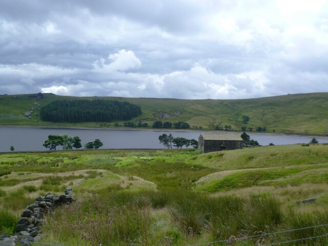
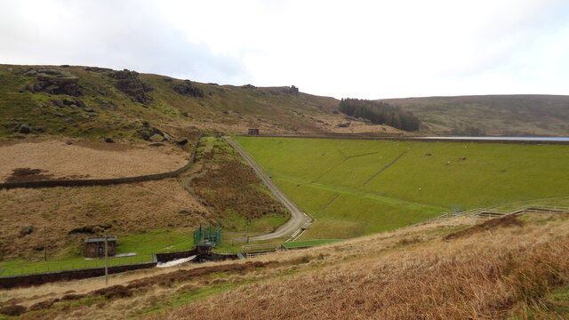
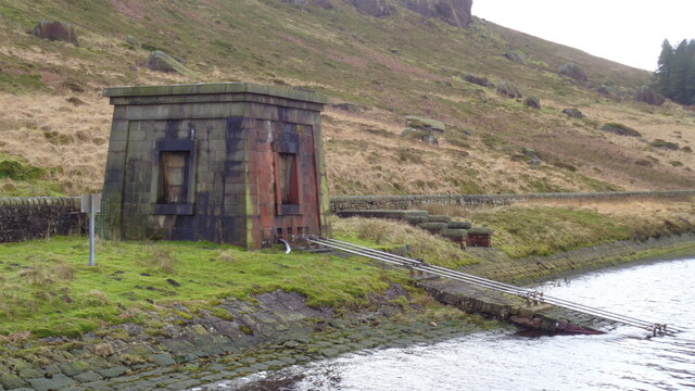
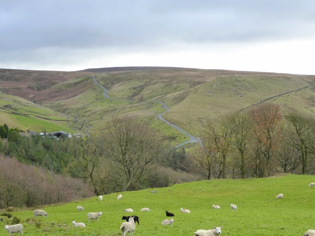
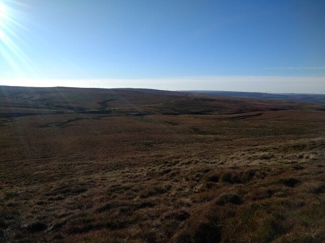
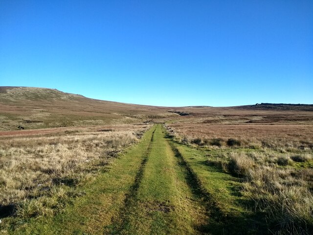
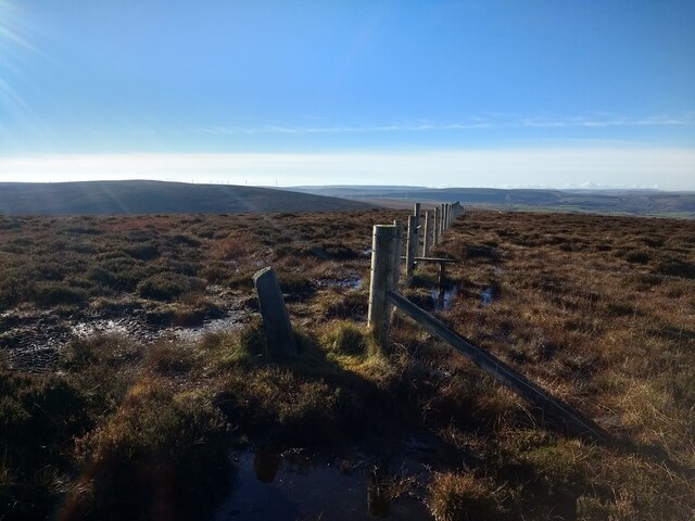
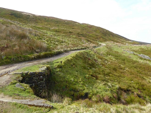
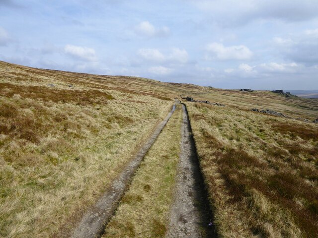
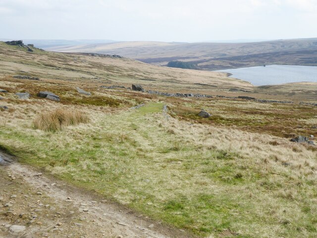
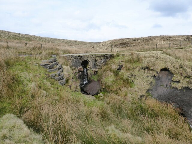
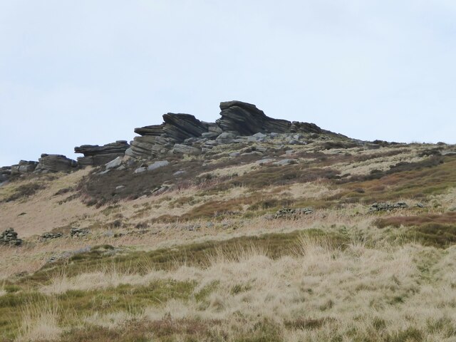
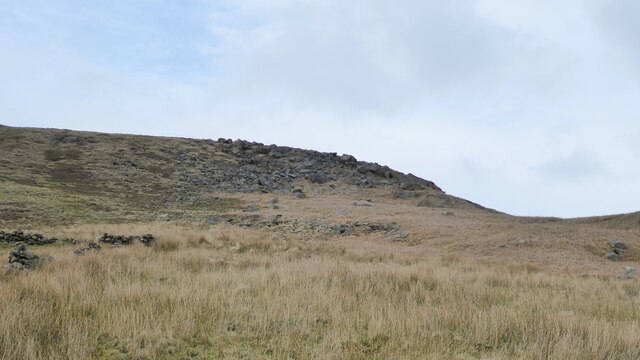
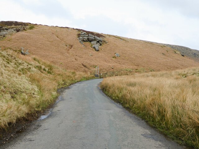
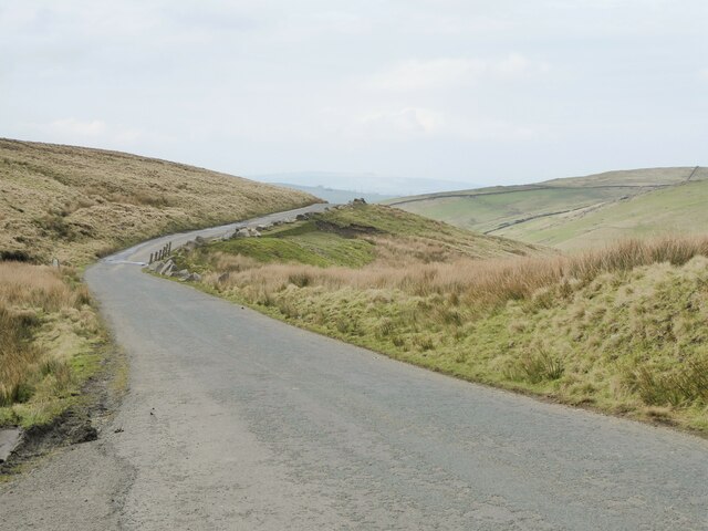
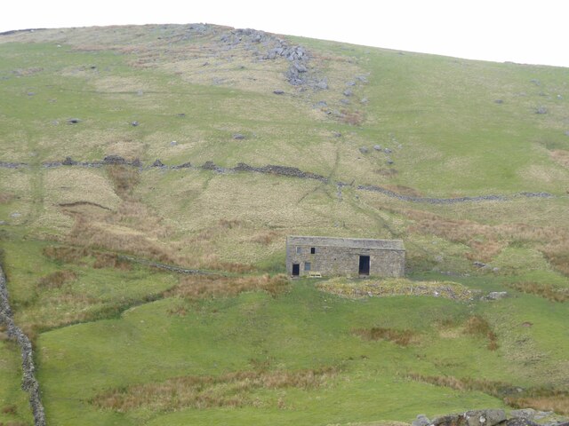
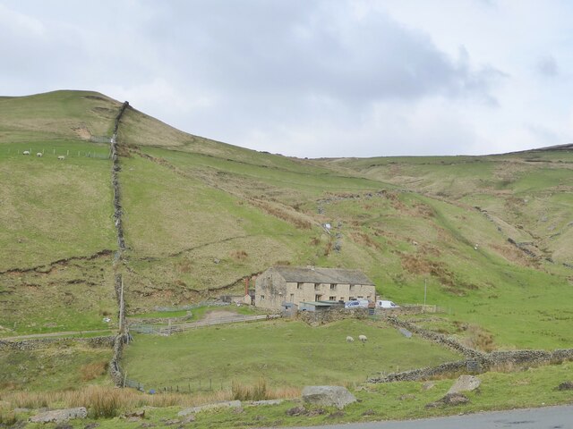
Great Edge Bottom is a picturesque valley located in Yorkshire, England. Situated in the heart of the Yorkshire Dales National Park, it is renowned for its stunning natural beauty and rich cultural heritage. The valley is characterized by rolling hills, lush green meadows, and meandering streams, making it a haven for nature enthusiasts and hikers.
The area is famous for its diverse wildlife and is home to a plethora of native species, including red squirrels, roe deer, and a variety of bird species. The valley's unique ecosystem is carefully preserved, with several protected areas and nature reserves dotting the landscape.
Great Edge Bottom also boasts a rich history, with evidence of human habitation dating back to the Roman period. The remains of ancient settlements and historic landmarks can still be found in the valley, offering a glimpse into the region's past.
The valley offers a range of outdoor activities for visitors to enjoy. Hiking trails crisscross the area, providing breathtaking views of the surrounding countryside. The valley is also a popular spot for picnicking and camping, allowing visitors to immerse themselves in the tranquility of the natural surroundings.
In addition to its natural attractions, Great Edge Bottom is home to a vibrant local community. Charming villages and small towns dot the valley, offering visitors a chance to experience the warm hospitality and traditional culture of Yorkshire.
Overall, Great Edge Bottom is a hidden gem in the Yorkshire Dales, offering a perfect blend of natural beauty, rich history, and authentic Yorkshire charm.
If you have any feedback on the listing, please let us know in the comments section below.
Great Edge Bottom Images
Images are sourced within 2km of 53.797353/-2.1170431 or Grid Reference SD9233. Thanks to Geograph Open Source API. All images are credited.
Great Edge Bottom is located at Grid Ref: SD9233 (Lat: 53.797353, Lng: -2.1170431)
Division: West Riding
Unitary Authority: Calderdale
Police Authority: West Yorkshire
What 3 Words
///supposing.educated.abundance. Near Nelson, Lancashire
Nearby Locations
Related Wikis

Boulsworth Hill
Boulsworth Hill is a large expanse of moorland, the highest point of the South Pennines of south-eastern Lancashire, England, separating the Borough of...

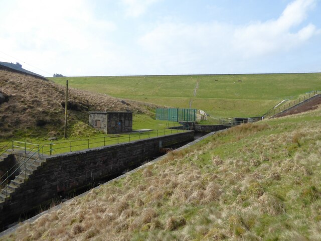
Walshaw Dean Reservoirs
Walshaw Dean Reservoirs are three reservoirs situated above Hebden Bridge, West Yorkshire, England. They are between Hebden Bridge and Top Withins, a ruined...

Trawden Brook
Trawden Brook is a minor river in Lancashire, England. It is 3.48 miles (5.6 km) long and has a catchment area of 4.40 square miles (11.4 km2). Rising...

Blake Dean Railway
The Blake Dean Railway was an approximately 5.5 miles (9 km) long 3 ft (914 mm) gauge narrow gauge railway on the edge of Hardcastle Crags Valley in West...
Nearby Amenities
Located within 500m of 53.797353,-2.1170431Have you been to Great Edge Bottom?
Leave your review of Great Edge Bottom below (or comments, questions and feedback).