Great Edge Flat
Downs, Moorland in Yorkshire
England
Great Edge Flat
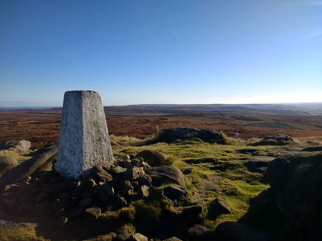
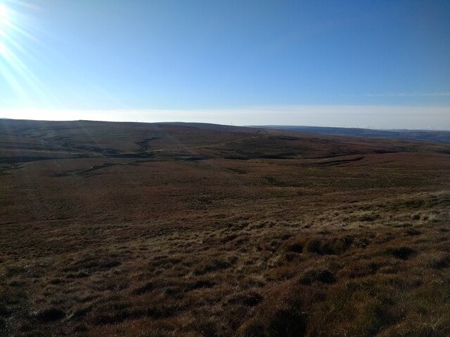
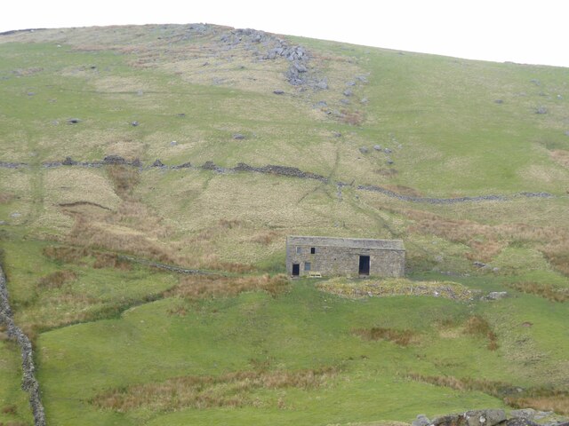
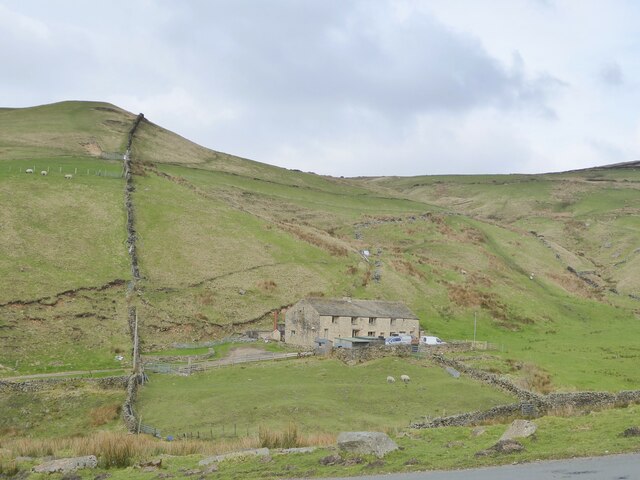
Great Edge Flat is a stunning geographical feature located in the picturesque region of Yorkshire, England. Situated on the edge of the Yorkshire Downs and Moorland, this flat expanse of land offers breathtaking views and a unique natural ecosystem.
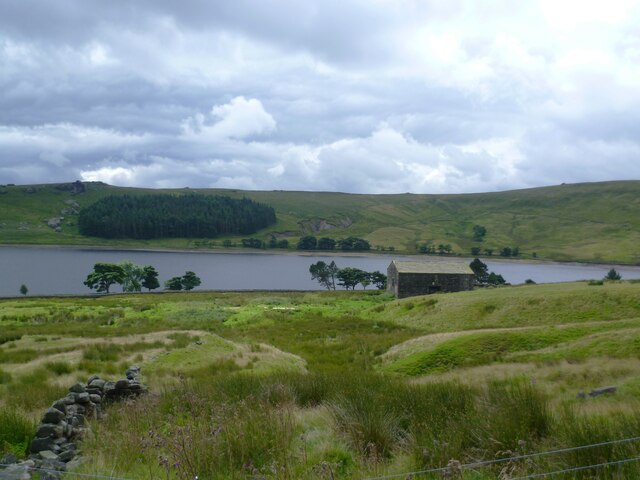
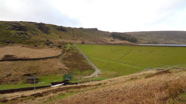
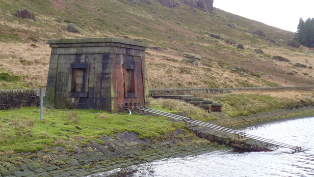
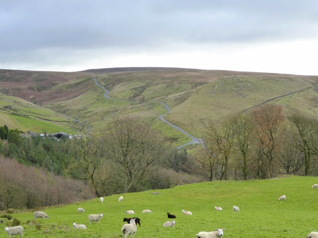
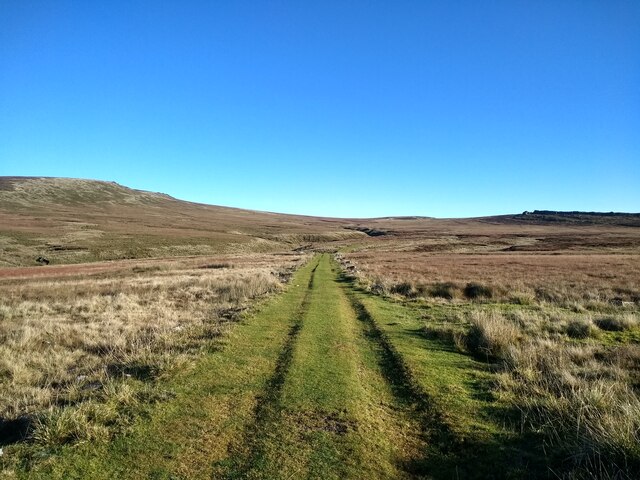
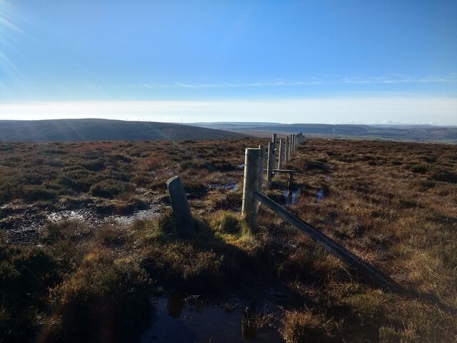
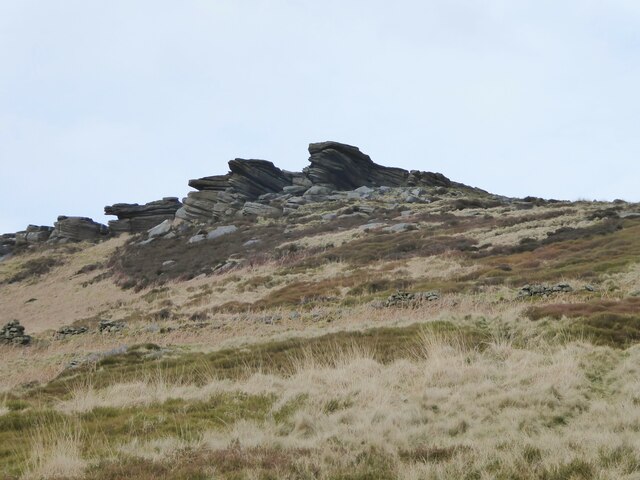
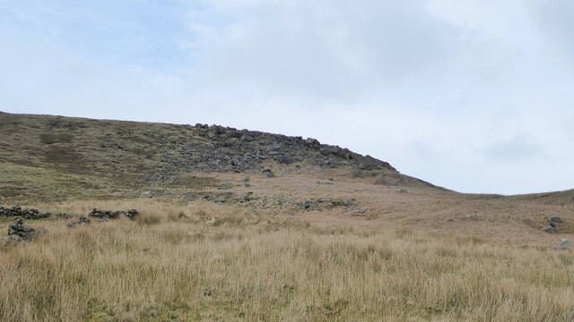
Covering an area of approximately 500 hectares, Great Edge Flat is characterized by its gently rolling terrain and vast open spaces. The landscape is predominantly composed of grasslands, heather moorlands, and scattered shrubs, creating a beautiful mosaic of colors and textures. The flat itself is surrounded by low hills and slopes, which add to its charm and provide a sense of seclusion.
The area is home to a diverse range of flora and fauna, making it a haven for nature enthusiasts and wildlife lovers. Rare bird species such as curlews, lapwings, and red grouse can be spotted in the skies, while the ground is inhabited by various small mammals like hares, stoats, and voles. In spring and summer, the flat is adorned with a colorful display of wildflowers, adding to its natural beauty.
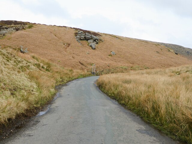
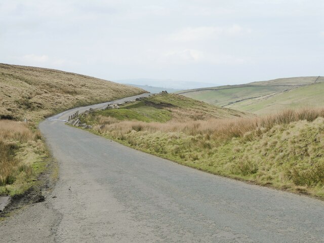
Great Edge Flat is a popular destination for outdoor activities such as hiking, birdwatching, and photography. Several walking trails crisscross the area, offering visitors the opportunity to explore its hidden corners and enjoy the tranquility of the surrounding landscape.
With its stunning vistas, diverse wildlife, and peaceful ambiance, Great Edge Flat is truly a gem within the Yorkshire region. Whether it's for leisurely walks, wildlife spotting, or simply soaking in the natural beauty, this flat is a must-visit destination for nature enthusiasts and those seeking a peaceful escape.
If you have any feedback on the listing, please let us know in the comments section below.
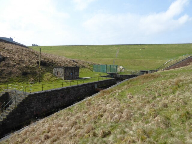
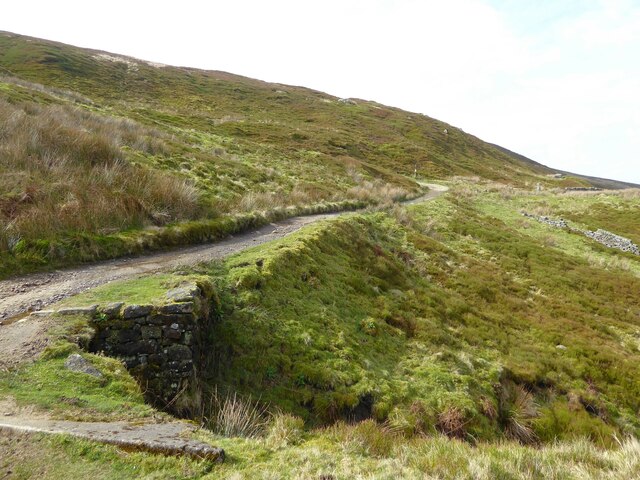
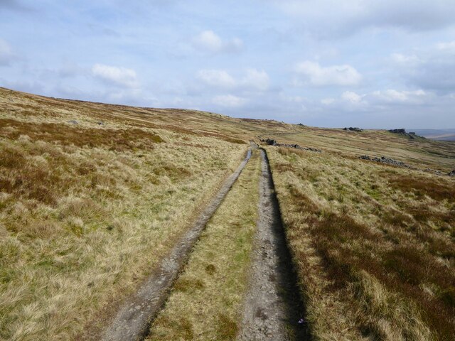
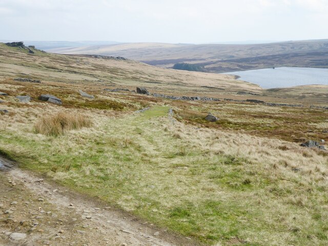
Great Edge Flat Images
Images are sourced within 2km of 53.799492/-2.1174439 or Grid Reference SD9233. Thanks to Geograph Open Source API. All images are credited.
Great Edge Flat is located at Grid Ref: SD9233 (Lat: 53.799492, Lng: -2.1174439)
Division: West Riding
Unitary Authority: Calderdale
Police Authority: West Yorkshire
What 3 Words
///airbag.sublime.respected. Near Nelson, Lancashire
Nearby Locations
Related Wikis

Boulsworth Hill
Boulsworth Hill is a large expanse of moorland, the highest point of the South Pennines of south-eastern Lancashire, England, separating the Borough of...

Trawden Brook
Trawden Brook is a minor river in Lancashire, England. It is 3.48 miles (5.6 km) long and has a catchment area of 4.40 square miles (11.4 km2). Rising...

Walshaw Dean Reservoirs
Walshaw Dean Reservoirs are three reservoirs situated above Hebden Bridge, West Yorkshire, England. They are between Hebden Bridge and Top Withins, a ruined...

Blake Dean Railway
The Blake Dean Railway was an approximately 5.5 miles (9 km) long 3 ft (914 mm) gauge narrow gauge railway on the edge of Hardcastle Crags Valley in West...
Nearby Amenities
Located within 500m of 53.799492,-2.1174439Have you been to Great Edge Flat?
Leave your review of Great Edge Flat below (or comments, questions and feedback).