Langton's Folly
Wood, Forest in Yorkshire
England
Langton's Folly
Langton's Folly is a historical site located in Yorkshire, England, specifically in the area known as Langton Wood or Langton Forest. This site holds great significance due to its unique architectural structure and its historical background.
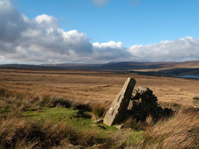
Langton's Folly is a tower-like structure that was erected in the late 18th century by Sir Charles Langton, a wealthy landowner and member of the local gentry. The tower stands at approximately 30 meters in height and is constructed primarily out of stone and brick. Its design showcases a combination of Gothic and Neoclassical architectural elements, making it a notable example of architectural eclecticism during that era.
The purpose of Langton's Folly remains a subject of debate among historians. Some believe that it was simply built as a decorative symbol of Sir Charles Langton's wealth and status, while others speculate that it served as a hunting lodge or a viewing platform for the surrounding woodland. Nevertheless, the tower has become an iconic landmark in the region, attracting visitors from near and far.
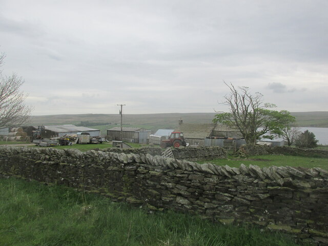
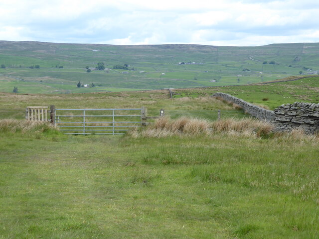
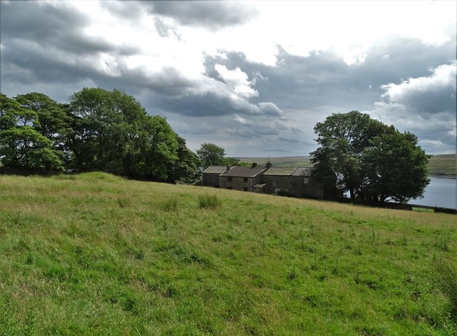
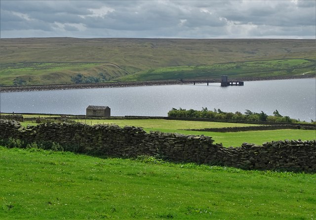
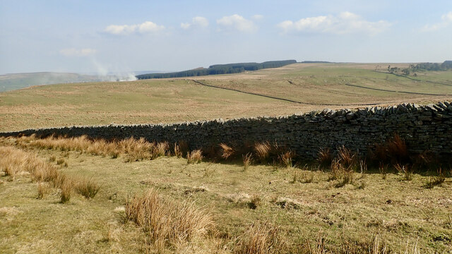
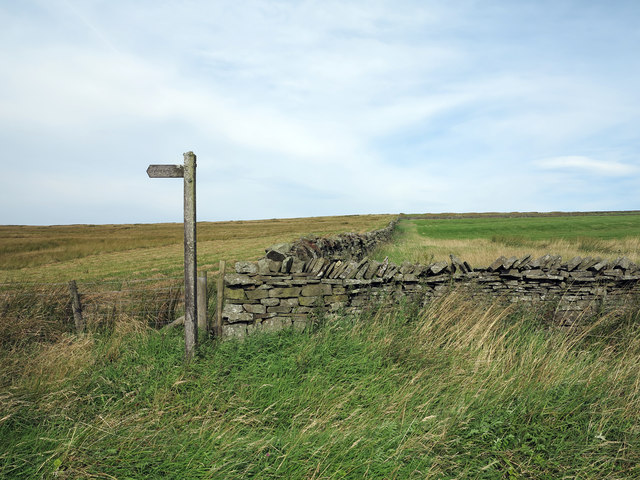
The surrounding Langton Wood or Langton Forest is a lush and sprawling area of woodland that provides a haven for various flora and fauna. It is known for its diverse range of tree species, including oak, beech, and birch. The forest offers numerous walking trails and is a popular destination for outdoor enthusiasts, providing opportunities for hiking, birdwatching, and tranquility amidst nature.
Overall, Langton's Folly and the surrounding Langton Wood offer visitors a unique blend of historical architecture and natural beauty, making it a must-visit destination for those interested in both history and the great outdoors.
If you have any feedback on the listing, please let us know in the comments section below.
Langton's Folly Images
Images are sourced within 2km of 54.580043/-2.128145 or Grid Reference NY9120. Thanks to Geograph Open Source API. All images are credited.


Langton's Folly is located at Grid Ref: NY9120 (Lat: 54.580043, Lng: -2.128145)
Division: North Riding
Unitary Authority: County Durham
Police Authority: Durham
What 3 Words
///solo.curated.spenders. Near Mickleton, Co. Durham
Nearby Locations
Related Wikis

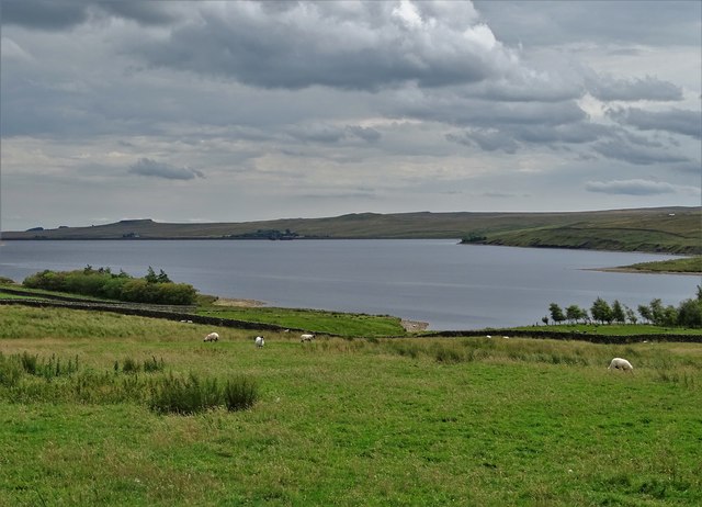
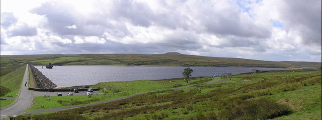
Selset Reservoir
Selset Reservoir is a reservoir in County Durham, England. It is situated in Lunedale which is a side valley of the River Tees, about 5 miles (8 km) west...

Grassholme
Grassholme is a village in County Durham, England.For centuries it lay within the historic county boundaries of the North Riding of Yorkshire, but, along...
Balderhead Reservoir
Balderhead Reservoir is a reservoir in Baldersdale, County Durham, England. It is one of a chain of three reservoirs on the River Balder, a tributary of...
Rigg Farm and Stake Hill Meadows
Rigg Farm and Stake Hill Meadows is a Site of Special Scientific Interest in the Teesdale district of County Durham, England. It is situated in Lunedale...

Hannah's Meadows
Hannah's Meadows is a Site of Special Scientific Interest in the Teesdale district of south-west County Durham, England. It consists of three fields,...
Hury
Hury is a village in Baldersdale, in the Pennines of England. It is located in the historic North Riding of Yorkshire. Along with the rest of the former...
Thringarth
Thringarth is a hamlet in Lunedale, in the Pennines of England. It is traditionally located in the North Riding of Yorkshire but along with the rest of...

Grassholme Reservoir
Grassholme Reservoir is a large reservoir in County Durham, England. It is situated in Lunedale, which is a side valley of the River Tees, about 2 miles...
Nearby Amenities
Located within 500m of 54.580043,-2.128145Have you been to Langton's Folly?
Leave your review of Langton's Folly below (or comments, questions and feedback).