Addy's Firs

Wood, Forest in Wiltshire Cotswold

England

Addy's Firs

Long Newnton, Holy Trinity
Long Newnton, Holy Trinity Credit: Dave Kelly

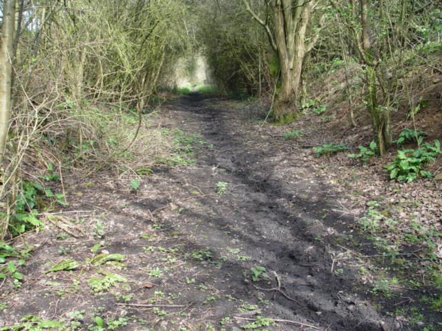
Addy's Firs is a picturesque wood located in the county of Wiltshire, England. It is nestled in the heart of the beautiful countryside, surrounded by rolling hills and meandering streams. The wood covers an area of approximately 20 acres and is home to a diverse range of trees and wildlife.

The main feature of Addy's Firs is its stunning collection of fir trees, which dominate the landscape and give the wood its name. These tall evergreen trees provide a serene and tranquil atmosphere, making it a popular spot for nature lovers and hikers alike.

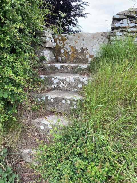
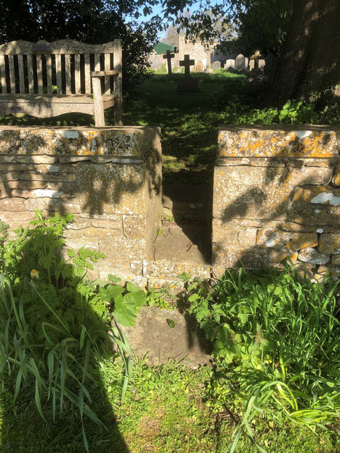
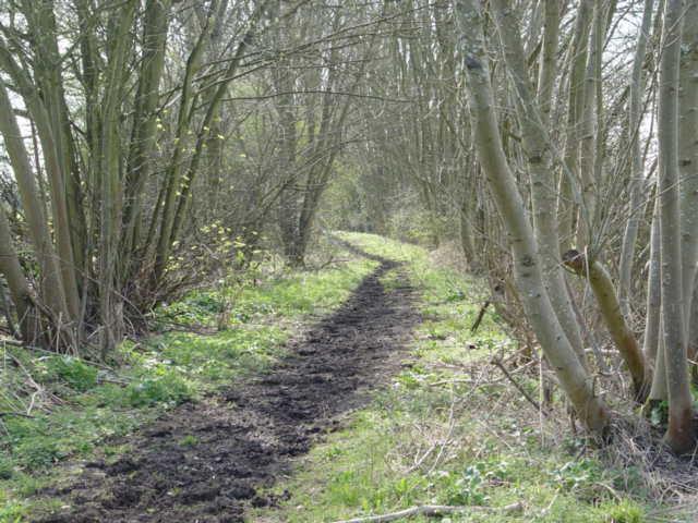
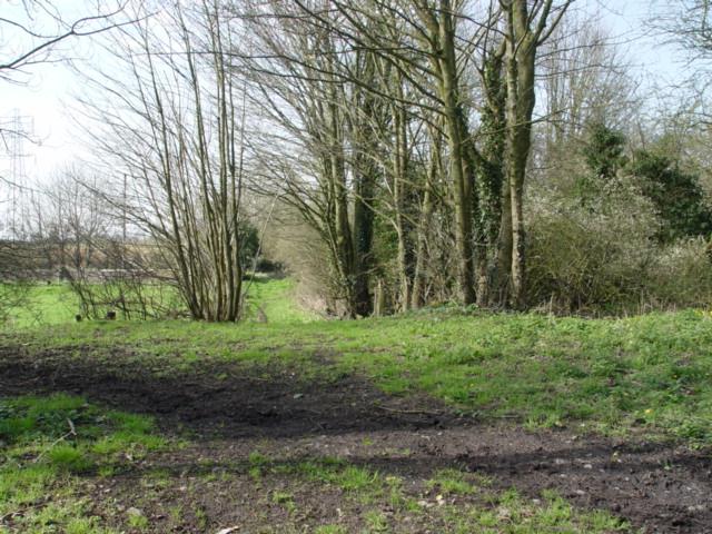
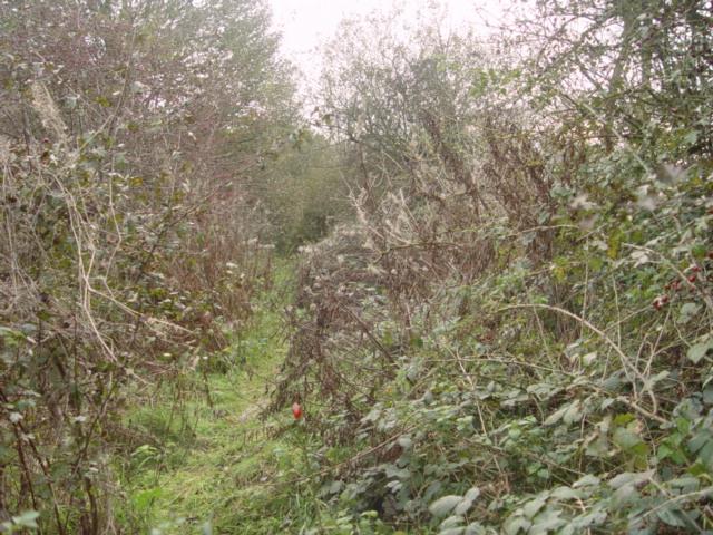
The wood boasts a well-maintained network of walking trails, allowing visitors to explore the area and soak in its natural beauty. The paths wind through the trees, offering glimpses of wildflowers, ferns, and moss-covered rocks along the way. It is not uncommon to spot various species of birds, such as woodpeckers and owls, as well as small woodland creatures like squirrels and rabbits.

Addy's Firs is a great place to visit throughout the year, each season bringing its own charm. In spring, the wood comes alive with vibrant blossoms and fresh green foliage. Summer brings a lush canopy of leaves, providing shade from the sun. Autumn transforms the wood into a colorful spectacle, as the leaves change to golden hues. And in winter, the fir trees stand tall, covered in glistening frost or a dusting of snow.

Overall, Addy's Firs is a natural gem, offering a serene escape from the bustling modern world and providing a haven for those seeking to reconnect with nature.

If you have any feedback on the listing, please let us know in the comments section below.
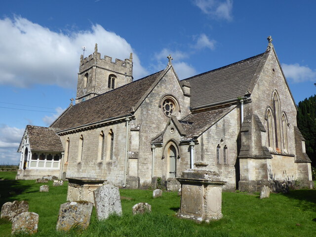
Addy's Firs Images

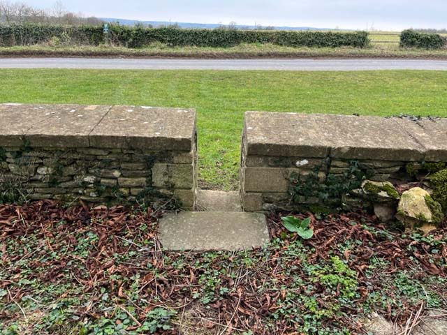
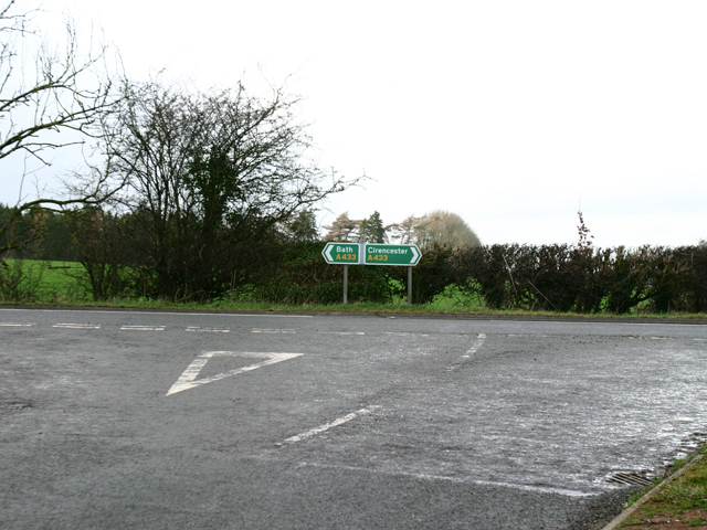
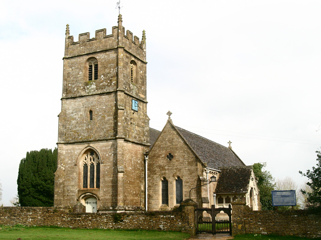
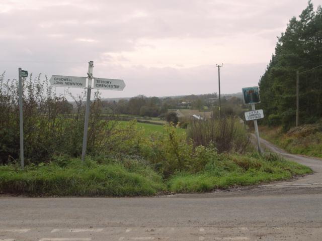
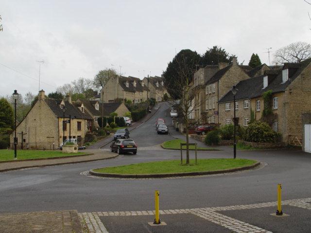
Images are sourced within 2km of 51.639082/-2.1195852 or Grid Reference ST9193. Thanks to Geograph Open Source API. All images are credited.

Long Newnton, Holy Trinity
Stone Stile, Long Newnton Looking SW to the B4014, on Gloucestershire footpath NLN12
Stone Stile, Long Newnton
Looking SW to the B4014, on Gloucestershire footpath NLN12
Stone Stile, Long Newnton Looking NE from the B4014, on Gloucestershire footpath NLN12.
Stone Stile, Long Newnton
Looking NE from the B4014, on Gloucestershire footpath NLN12.
Stone Stile, Long Newnton Looking SW to the B4014 on Gloucestershire footpath NLN9. The view from the road is <a href="https://www.geograph.org.uk/photo/7194255">ST9191 : Stone Stile, Long Newnton</a>.
Stone Stile, Long Newnton
Looking SW to the B4014 on Gloucestershire footpath NLN9. The view from the road is ST9191 : Stone Stile, Long Newnton.
Stone Stile, Long Newnton Looking NE off the B4014 on Gloucestershire footpath NLN9 leading due East towards Newnton Farm. The view looking towards the road is <a href="https://www.geograph.org.uk/photo/7194252">ST9191 : Stone Stile, Long Newnton</a>.
Stone Stile, Long Newnton
Looking NE off the B4014 on Gloucestershire footpath NLN9 leading due East towards Newnton Farm. The view looking towards the road is ST9191 : Stone Stile, Long Newnton.
Stone Stile, Long Newnton A gap type stile in the churchyard wall of Holy Trinity Church looking from the road. Which one has to assume is Church Lane, because the house at the Southern junction with the B4104 is called Church Lane House. The view West is <a href="https://www.geograph.org.uk/photo/7419976">ST9092 : Stone Stile, Long Newnton</a>.
Stone Stile, Long Newnton
A gap type stile in the churchyard wall of Holy Trinity Church looking from the road. Which one has to assume is Church Lane, because the house at the Southern junction with the B4104 is called Church Lane House. The view West is ST9092 : Stone Stile, Long Newnton.
Stone Stile, Tetbury Upton On Gloucestershire footpath NTU9, off the A433 opposite Ilsom Care Home. This view looks south to the care home, the view North across fields is <a href="https://www.geograph.org.uk/photo/7327725">ST9094 : Stone Stile, Tetbury Upton</a>.
Stone Stile, Tetbury Upton
On Gloucestershire footpath NTU9, off the A433 opposite Ilsom Care Home. This view looks south to the care home, the view North across fields is ST9094 : Stone Stile, Tetbury Upton.
Stone Stile, Tetbury Upton On Gloucestershire footpath NTU9, off the A433 opposite Ilsom Care Home. This view looks North across fields, the view South to the care home is <a href="https://www.geograph.org.uk/photo/7327723">ST9094 : Stone Stile, Tetbury Upton</a>.
Stone Stile, Tetbury Upton
On Gloucestershire footpath NTU9, off the A433 opposite Ilsom Care Home. This view looks North across fields, the view South to the care home is ST9094 : Stone Stile, Tetbury Upton.
Stone Stile, Long Newnton A gap type stile in the churchyard wall of Holy Trinity Church looking from the road. Which one has to assume is Church Lane, because the house at the Southern junction with the B4104 is called Church Lane House. The view East is <a href="https://www.geograph.org.uk/photo/7205257">ST9092 : Stone Stile, Long Newnton</a>.
Stone Stile, Long Newnton
A gap type stile in the churchyard wall of Holy Trinity Church looking from the road. Which one has to assume is Church Lane, because the house at the Southern junction with the B4104 is called Church Lane House. The view East is ST9092 : Stone Stile, Long Newnton.
A433 Junction near Ilsom Looking North from Newnton Hill road at the A433 Junction to Cirencester and Bath. The junction is approx 1.8 miles North East of Tetbury.
A433 Junction near Ilsom
Looking North from Newnton Hill road at the A433 Junction to Cirencester and Bath. The junction is approx 1.8 miles North East of Tetbury.
Holy Trinity Church Holy Trinity is the parish church at Long Newnton in Gloucestershire. Long Newnton is off the B4014 near Tetbury.
Holy Trinity Church
Holy Trinity is the parish church at Long Newnton in Gloucestershire. Long Newnton is off the B4014 near Tetbury.
Long Newnton Holy Trinity Church
Tetbury Branch Line Track Bed Former G.W.R railway line taken from the site of the former Newnton road bridge looking towards Trouble House Halt
Tetbury Branch Line Track Bed
Former G.W.R railway line taken from the site of the former Newnton road bridge looking towards Trouble House Halt
Trouble House Halt Trouble House Halt on the former G.W.R Kemble to Tetbury branch looking from the halt towards Tetbury
Trouble House Halt
Trouble House Halt on the former G.W.R Kemble to Tetbury branch looking from the halt towards Tetbury
Trouble House Halt Trouble House Halt on the former G.W.R Kemble to Tetbury branch looking from the halt towards the A433 Tetbury the Inn is obscured by the trees.
Trouble House Halt
Trouble House Halt on the former G.W.R Kemble to Tetbury branch looking from the halt towards the A433 Tetbury the Inn is obscured by the trees.
Pill Box near Long Newnton
Tetbury Branch Line Track Bed Former G.W.R Kemble to Tetbury branch line from Long Newnton bridge looking towards Tetbury
Tetbury Branch Line Track Bed
Former G.W.R Kemble to Tetbury branch line from Long Newnton bridge looking towards Tetbury
Little Lark Hill near Tetbury
Show me another place!

Addy's Firs is located at Grid Ref: ST9193 (Lat: 51.639082, Lng: -2.1195852)

Administrative County: Gloucestershire

District: Cotswold

Police Authority: Gloucestershire

What 3 Words

///crabmeat.essays.knees. Near Tetbury, Gloucestershire

Nearby Locations

Addy's Firs Newnton Gorse

Related Wikis

Have you been to Addy's Firs?

Leave your review of Addy's Firs below (or comments, questions and feedback).