Black Plantation

Wood, Forest in Staffordshire Stafford

England

Black Plantation

Upper Burston Bridge 86 Trent and Mersey Canal near Burston
Upper Burston Bridge 86 Credit: Mike Todd

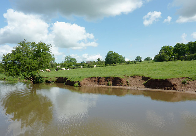
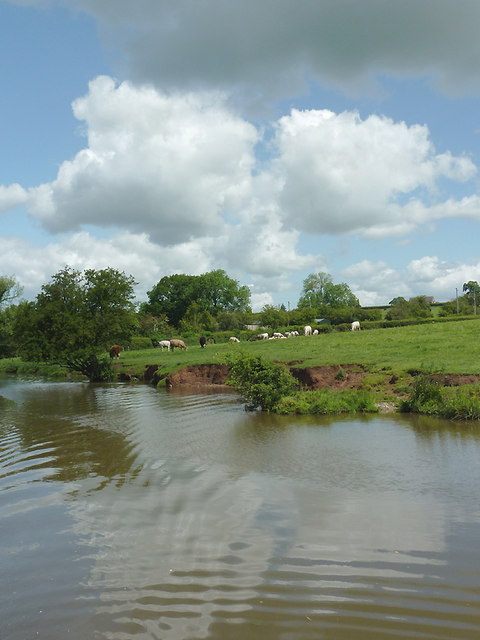
Black Plantation, located in Staffordshire, England, is a captivating woodland area renowned for its dense forestry and natural beauty. Spanning over a vast expanse, the plantation covers several acres and is home to a diverse range of flora and fauna.

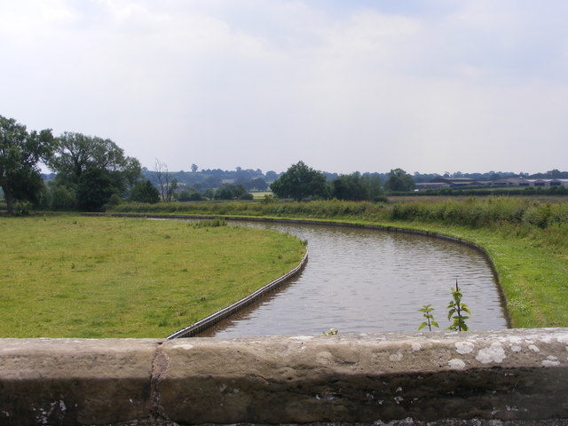
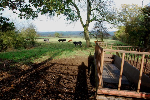
The woodland is primarily composed of deciduous trees, with a significant presence of oak, beech, and ash trees. These towering giants create a dense canopy, providing shelter for various woodland creatures such as squirrels, foxes, and numerous bird species. The forest floor is adorned with a rich carpet of moss, ferns, and wildflowers, adding to the overall enchantment of the area.

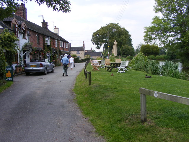
Black Plantation offers a network of well-maintained walking trails, allowing visitors to immerse themselves in the tranquility of the natural surroundings. These paths wind through the woodland, providing stunning views of the diverse ecosystem. The plantation is a popular destination for nature enthusiasts, hikers, and birdwatchers, who can often spot rare and migratory bird species within the woodland habitat.

In addition to its natural beauty, Black Plantation holds historical significance. It is believed that the woodland served as a hunting ground for the local nobility during medieval times. The remnants of an old hunting lodge can still be found within the plantation, offering visitors a glimpse into the area's past.

Overall, Black Plantation in Staffordshire offers a serene escape into nature, combining its lush forestry, diverse wildlife, and a touch of history. It is a haven for those seeking solace amidst the natural wonders of the world.

If you have any feedback on the listing, please let us know in the comments section below.

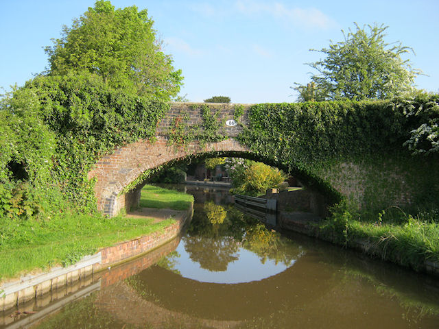
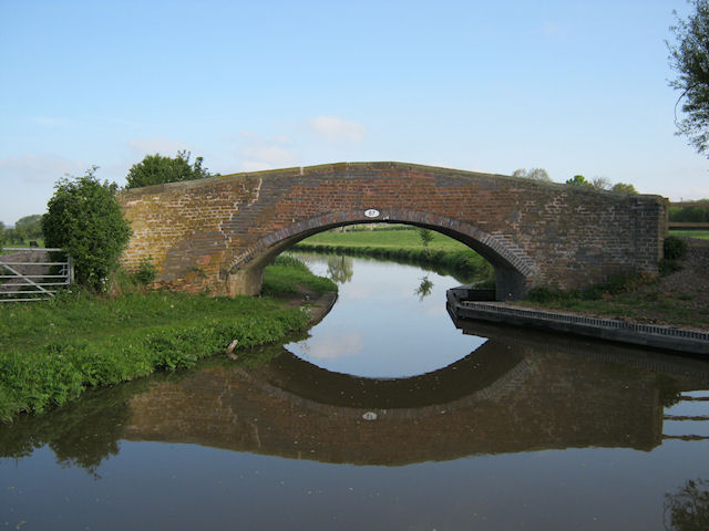
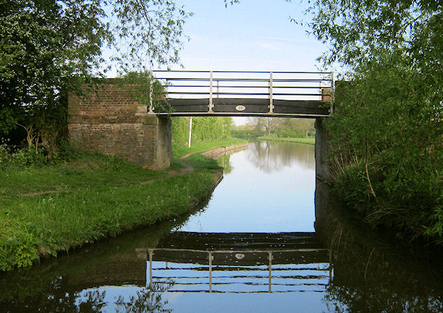
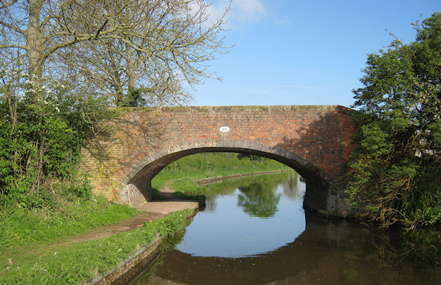
Black Plantation Images

Images are sourced within 2km of 52.86266/-2.1229138 or Grid Reference SJ9129. Thanks to Geograph Open Source API. All images are credited.

Upper Burston Bridge 86 Trent and Mersey Canal near Burston
Upper Burston Bridge 86
Trent and Mersey Canal near Burston
Long Meadow Bridge 87 Trent and Mersey Canal, south of Stone
Long Meadow Bridge 87
Trent and Mersey Canal, south of Stone
Iron Bridge 88 Trent and Mersey Canal, south of Stone
Iron Bridge 88
Trent and Mersey Canal, south of Stone
Carr House Bridge 89 Trent and Mersey Canal, south of Stone
Carr House Bridge 89
Trent and Mersey Canal, south of Stone
Canal-side pasture south-east of Stone, Staffordshire Trent and Mersey Canal.
The canal was fully opened by 1777, engineered by James Brindley. It is 93 miles in length between Preston Brook and Derwent Mouth (Shardlow).

Erosion of the banks here can be exacerbated by cattle coming for water, and by boat crews who cause a wash by excess speed. Dredging and piling will probably be attended to before long.
Canal-side pasture south-east of Stone, Staffordshire
Trent and Mersey Canal. The canal was fully opened by 1777, engineered by James Brindley. It is 93 miles in length between Preston Brook and Derwent Mouth (Shardlow). Erosion of the banks here can be exacerbated by cattle coming for water, and by boat crews who cause a wash by excess speed. Dredging and piling will probably be attended to before long.
Trent and Mersey Canal south-east of Stone, Staffordshire The canal was fully opened by 1777, engineered by James Brindley. It is 93 miles in length between Preston Brook and Derwent Mouth (Shardlow).

Erosion of the banks here can be exacerbated by cattle coming for water, and by boat crews who cause a wash by excess speed. Dredging and piling will probably be attended to before long.
Trent and Mersey Canal south-east of Stone, Staffordshire
The canal was fully opened by 1777, engineered by James Brindley. It is 93 miles in length between Preston Brook and Derwent Mouth (Shardlow). Erosion of the banks here can be exacerbated by cattle coming for water, and by boat crews who cause a wash by excess speed. Dredging and piling will probably be attended to before long.
Passing Bridge 86 The view of the Trent and Mersey Canal from the Upper Burston Bridge.
Passing Bridge 86
The view of the Trent and Mersey Canal from the Upper Burston Bridge.
Bridge 86 The view of the Trent and Mersey Canal and the Upper Burston Bridge.
Bridge 86
The view of the Trent and Mersey Canal and the Upper Burston Bridge.
Village Pool Tearoom The view in Burston village.
Village Pool Tearoom
The view in Burston village.
Burston Green The village green in Burston.
Burston Green
The village green in Burston.
Village Mill Shaft The waterwheel axle from the village mill which ground the local corn up to 1920.
Village Mill Shaft
The waterwheel axle from the village mill which ground the local corn up to 1920.
Canal Bridge View The view of the Trent and Mersey Canal from the Upper Burston Bridge.
Canal Bridge View
The view of the Trent and Mersey Canal from the Upper Burston Bridge.
Early morning at Harvest time Just South of Aston by Stone
Early morning at Harvest time
Just South of Aston by Stone
Aston wetlands The swans enjoy a late summer
Aston wetlands
The swans enjoy a late summer
River Trent Near Burston
River Trent
Near Burston
Burston St Rufin Dedicated to a very local Saint
Burston St Rufin
Dedicated to a very local Saint
Feeder Trough and Cattle off Enson Lane
The Stone Hockey Club Rugby is being played on the near half of the field, with hockey being played in the netted area lower down. I met a young cyclist in Enson lane,who belonged to this club, he asked me to put this club on this site if I was going past. He had not heard of Geograph before, but was very impressed with the concept.
The Stone Hockey Club
Rugby is being played on the near half of the field, with hockey being played in the netted area lower down. I met a young cyclist in Enson lane,who belonged to this club, he asked me to put this club on this site if I was going past. He had not heard of Geograph before, but was very impressed with the concept.
Show me another place!

Black Plantation is located at Grid Ref: SJ9129 (Lat: 52.86266, Lng: -2.1229138)

Administrative County: Staffordshire

District: Stafford

Police Authority: Staffordshire

What 3 Words

///nanny.performs.activism. Near Stone, Staffordshire

Related Wikis

Yarlet School

Yarlet School, formerly Yarlet Hall, is a coeducational preparatory school located in the district of Yarlet, 3 miles (4.8 km) north of the county town...

Marston, Milwich

Marston is a village and civil parish 12 miles (19 km) south of Stoke-on-Trent, in the Stafford district, in the county of Staffordshire, England. In 2011...

Aston-By-Stone

Aston-By-Stone is a village and civil parish in the Borough of Stafford in Staffordshire, England. It is close to the town of Stone and city of Stoke-on...

Whitgreave

Whitgreave is a very small village a few miles to the NNW of Stafford situated midway between the M6 motorway to the west and the A34 trunk road to the...

Sandon railway station

Sandon railway station was a railway station opened by the North Staffordshire Railway to serve the village of Sandon, Staffordshire, England. For some...

Sandon, Staffordshire

Sandon is a village in the civil parish of Sandon and Burston, in the Stafford district, in the county of Staffordshire, England. It is about 4.5 miles...

Aston-by-Stone railway station

Aston-by-Stone railway station is a disused railway station in the village of Aston, Staffordshire, England. == History == Opened by the North Staffordshire...

Sir Graham Balfour School

Sir Graham Balfour School is a coeducational secondary school and sixth form located in Stafford, England. It is named after Graham Balfour, son of the...

Nearby Amenities

Located within 500m of 52.86266,-2.1229138
Addr Housename: Yarlet Hall Farmhouse
Lat/Long: 52.8607808/-2.1290228
Addr Housename: Yarlet Hall Cottages
Lat/Long: 52.8618133/-2.1292049
The data included in this document is from www.openstreetmap.org. The data is made available under ODbL.

Have you been to Black Plantation?

Leave your review of Black Plantation below (or comments, questions and feedback).