Yarlet Hill

Hill, Mountain in Staffordshire Stafford

England

Yarlet Hill

Aston wetlands The swans enjoy a late summer
Aston wetlands Credit: Ian Cardinal

Yarlet Hill is a small elevated landform located in the county of Staffordshire, England. It is situated near the village of Yarlet, approximately 6 miles to the east of the town of Stafford. Despite its name, Yarlet Hill is not a mountain but rather a modest hill, reaching a height of around 240 feet (73 meters) above sea level.

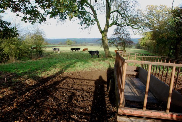
The hill is characterized by its gently sloping sides and is predominantly covered in grassland and scattered trees. It offers panoramic views of the surrounding Staffordshire countryside, with its rolling hills and fields. The area surrounding Yarlet Hill is primarily used for agriculture, with farms and rural settlements scattered across the landscape.

Yarlet Hill is a popular destination for outdoor enthusiasts and nature lovers. Its accessibility and relatively easy terrain make it a great spot for walking, hiking, and picnicking. Additionally, the hill provides opportunities for birdwatching, as many species can be spotted in the surrounding woodlands and open fields.

The hill is also of historical significance, with the remains of an Iron Age hillfort located near its summit. The fort, known as Yarlet Camp, is believed to date back to the 1st century BC and is a Scheduled Ancient Monument. It is an important archaeological site, offering insights into the ancient history and settlement patterns of the region.

Overall, Yarlet Hill is a beautiful and historically rich location, providing visitors with a chance to enjoy the natural beauty and explore the ancient past of Staffordshire.

If you have any feedback on the listing, please let us know in the comments section below.

Yarlet Hill Images

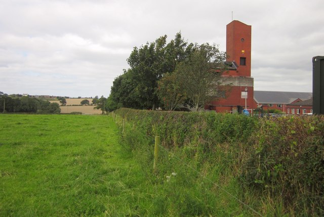
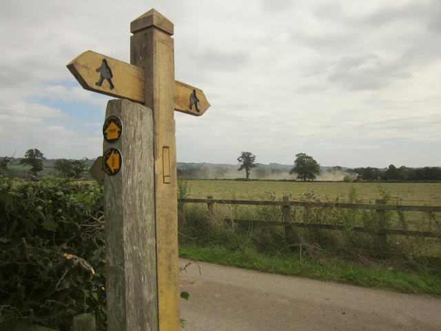
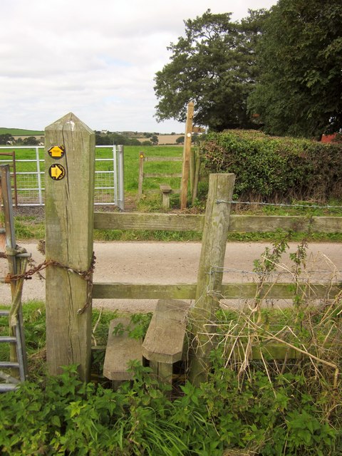
Images are sourced within 2km of 52.858652/-2.13067 or Grid Reference SJ9129. Thanks to Geograph Open Source API. All images are credited.
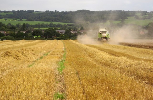
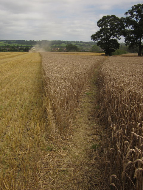
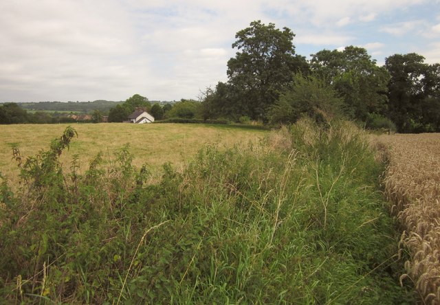
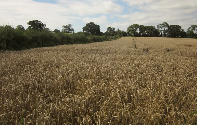
Aston wetlands The swans enjoy a late summer
Aston wetlands
The swans enjoy a late summer
Feeder Trough and Cattle off Enson Lane
The Stone Hockey Club Rugby is being played on the near half of the field, with hockey being played in the netted area lower down. I met a young cyclist in Enson lane,who belonged to this club, he asked me to put this club on this site if I was going past. He had not heard of Geograph before, but was very impressed with the concept.
The Stone Hockey Club
Rugby is being played on the near half of the field, with hockey being played in the netted area lower down. I met a young cyclist in Enson lane,who belonged to this club, he asked me to put this club on this site if I was going past. He had not heard of Geograph before, but was very impressed with the concept.
Harvesting near Pirehill House I timed my crossing of this field on wheat on Stone Rural footpath 29 to minimise the chances of ingesting too much dust from this harvester. In the background, and in adjacent squares, are Aston-by-Stone and the Trent valley.
Harvesting near Pirehill House
I timed my crossing of this field on wheat on Stone Rural footpath 29 to minimise the chances of ingesting too much dust from this harvester. In the background, and in adjacent squares, are Aston-by-Stone and the Trent valley.
Wheat near Aston-by-Stone The field shown in <a href="https://www.geograph.org.uk/photo/3125909">SJ9030 : Harvesting near Pirehill House</a>, with Stone Rural footpath 29 cutting through the unharvested crop.
Wheat near Aston-by-Stone
The field shown in SJ9030 : Harvesting near Pirehill House, with Stone Rural footpath 29 cutting through the unharvested crop.
Path past Staffordshire Fire and Rescue Headquarters At Pirehill House. I suppose the name is an unfortunate coincidence. This is Stone Rural footpath 31.
Path past Staffordshire Fire and Rescue Headquarters
At Pirehill House. I suppose the name is an unfortunate coincidence. This is Stone Rural footpath 31.
Footpath sign, Pirehill House The figure, apparently of a walker wearing a cape (walkman, perhaps?), adorns the signpost on Stone Rural footpath 31. The clouds of dust ahead are explained by <a href="https://www.geograph.org.uk/photo/3125909">SJ9030 : Harvesting near Pirehill House</a>.
Footpath sign, Pirehill House
The figure, apparently of a walker wearing a cape (walkman, perhaps?), adorns the signpost on Stone Rural footpath 31. The clouds of dust ahead are explained by SJ9030 : Harvesting near Pirehill House.
Stile, Pirehill House Stone Rural footpath 31 crosses the road connecting Pirehill Cottages to the A34. The footpath sign on the far side is shown in <a href="https://www.geograph.org.uk/photo/3140445">SJ9030 : Footpath sign, Pirehill House</a>.
Stile, Pirehill House
Stone Rural footpath 31 crosses the road connecting Pirehill Cottages to the A34. The footpath sign on the far side is shown in SJ9030 : Footpath sign, Pirehill House.
Following Stone Rural footpath 29 The footpath approaches a pair of semi-detached cottages on Crown Hill Lane. A difficult stretch of path at this time of year, with clods of earth, and narrowly hemmed in between the wheat crop and nettles along the edge of the field.
Following Stone Rural footpath 29
The footpath approaches a pair of semi-detached cottages on Crown Hill Lane. A difficult stretch of path at this time of year, with clods of earth, and narrowly hemmed in between the wheat crop and nettles along the edge of the field.
Closed petrol station, A34 Opposite the also closed Crown pub, but not, apparently, that long ago.
Closed petrol station, A34
Opposite the also closed Crown pub, but not, apparently, that long ago.
Field House Farm Looking across the A34 dual carriageway from the same spot as <a href="https://www.geograph.org.uk/photo/3140538">SJ9131 : House at Aston-by-Stone</a>. Most of the farmhouse is in <a href="https://www.geograph.org.uk/gridref/SJ9130">SJ9130</a>, but the barns to the right are in SJ9131.
Field House Farm
Looking across the A34 dual carriageway from the same spot as SJ9131 : House at Aston-by-Stone. Most of the farmhouse is in SJ9130, but the barns to the right are in SJ9131.
Crown Inn, Aston The sad sight of the closed pub on the A34; see <a href="https://www.geograph.org.uk/photo/218175">SJ9130 : The Crown Inn, Aston</a> for happier times, and for the petrol station across the road.
Crown Inn, Aston
The sad sight of the closed pub on the A34; see SJ9130 : The Crown Inn, Aston for happier times, and for the petrol station across the road.
Wheat near Astonhill Farm Stone Rural footpath 28 follows the eastern edge of the same wheat field whose northern edge is followed by footpath 29 - see <a href="https://www.geograph.org.uk/photo/3140514">SJ9130 : Following Stone Rural footpath 29</a>]. This path is easier.
Wheat near Astonhill Farm
Stone Rural footpath 28 follows the eastern edge of the same wheat field whose northern edge is followed by footpath 29 - see SJ9130 : Following Stone Rural footpath 29]. This path is easier.
Wheat near Astonhill Farm In the southern corner of the field shown in <a href="https://www.geograph.org.uk/photo/3141081">SJ9130 : Wheat near Astonhill Farm</a>.
Wheat near Astonhill Farm
In the southern corner of the field shown in SJ9130 : Wheat near Astonhill Farm.
Pasture near Astonhill Farm The clump of trees surrounds a pond. In the foreground, a drinking trough serves adjacent fields. View from Stone Rural footpath 28.
Pasture near Astonhill Farm
The clump of trees surrounds a pond. In the foreground, a drinking trough serves adjacent fields. View from Stone Rural footpath 28.
Cattle pasture near Pirehill Cottage Farm The next field up the hill on Stone Rural footpath 28 to <a href="https://www.geograph.org.uk/photo/3141127">SJ9030 : Pasture near Astonhill Farm</a>.
Cattle pasture near Pirehill Cottage Farm
The next field up the hill on Stone Rural footpath 28 to SJ9030 : Pasture near Astonhill Farm.
Pond near Newhouse farm One of many ponds in the area, usually surrounded by trees. Passed by Stone Rural footpath 28. The view is over the Trent valley.
Pond near Newhouse farm
One of many ponds in the area, usually surrounded by trees. Passed by Stone Rural footpath 28. The view is over the Trent valley.
Bus shelter along the A34 in Aston-By-Stone
Show me another place!

Yarlet Hill is located at Grid Ref: SJ9129 (Lat: 52.858652, Lng: -2.13067)

Administrative County: Staffordshire

District: Stafford

Police Authority: Staffordshire

What 3 Words

///believer.betraying.scream. Near Stone, Staffordshire

Related Wikis

Yarlet School

Yarlet School, formerly Yarlet Hall, is a coeducational preparatory school located in the district of Yarlet, 3 miles (4.8 km) north of the county town...

Whitgreave

Whitgreave is a very small village a few miles to the NNW of Stafford situated midway between the M6 motorway to the west and the A34 trunk road to the...

Marston, Milwich

Marston is a village and civil parish 12 miles (19 km) south of Stoke-on-Trent, in the Stafford district, in the county of Staffordshire, England. In 2011...

Aston-By-Stone

Aston-By-Stone is a village and civil parish in the Borough of Stafford in Staffordshire, England. It is close to the town of Stone and city of Stoke-on...

Sandon railway station

Sandon railway station was a railway station opened by the North Staffordshire Railway to serve the village of Sandon, Staffordshire, England. For some...

Sir Graham Balfour School

Sir Graham Balfour School is a coeducational secondary school and sixth form located in Stafford, England. It is named after Graham Balfour, son of the...

Sandon, Staffordshire

Sandon is a village in the civil parish of Sandon and Burston, in the Stafford district, in the county of Staffordshire, England. It is about 4.5 miles...

Creswell, Staffordshire

Creswell is a small village on the north-western edge of Stafford, the county town of Staffordshire, England situated on elevated ground above the wide...

Nearby Amenities

Located within 500m of 52.858652,-2.13067
Speed Camera
Enforcement: maxspeed
Maxspeed: 60 mph
Note: Set maxspeed= 60 mph needs confirmation
Lat/Long: 52.8554821/-2.1339091
Bus Stop
Yarlet Hall School
Bus: yes
Naptan AtcoCode: 3800C732601
Naptan Bearing: S
Naptan CommonName: Yarlet Hall School
Naptan Indicator: Adj
Naptan Landmark: Yarlet Hall School
Naptan Street: Stone Road
Naptan Verified: no
Public Transport: platform
Source: naptan_import
Lat/Long: 52.8615038/-2.1320461
Bus Stop
Yarlet Hall School
Bus: yes
Naptan AtcoCode: 3800C732602
Naptan Bearing: N
Naptan CommonName: Yarlet Hall School
Naptan Indicator: Opp
Naptan Landmark: Yarlet Hall School
Naptan Street: Stone Road
Naptan Verified: no
Public Transport: platform
Source: naptan_import
Lat/Long: 52.861827/-2.1323441
Bus Stop
The Greyhound Inn PH
Bus: yes
Naptan AtcoCode: 3800C739601
Naptan Bearing: N
Naptan CommonName: The Greyhound Inn PH
Naptan Indicator: Opp
Naptan Landmark: The Greyhound Inn PH
Naptan Street: Stone Rd
Naptan Verified: no
Public Transport: platform
Source: naptan_import
Lat/Long: 52.8560897/-2.1338144
Bus Stop
The Greyhound Inn PH
Bus: yes
Naptan AtcoCode: 3800C739602
Naptan Bearing: S
Naptan CommonName: The Greyhound Inn PH
Naptan Indicator: Adj
Naptan Landmark: The Greyhound Inn PH
Naptan Street: Stone Rd
Naptan Verified: no
Public Transport: platform
Source: naptan_import
Lat/Long: 52.8553113/-2.1336916
Post Box
Brand: Royal Mail
Brand Wikidata: Q638098
Operator: Royal Mail
Operator Wikidata: Q638098
Post Box Mounting: concrete_post
Post Box Type: lamp
Lat/Long: 52.8558898/-2.1334797
Parking
Lat/Long: 52.8566158/-2.1336733
Power: pole
Lat/Long: 52.8586223/-2.1323842
Power: pole
Lat/Long: 52.8582615/-2.1324808
Power: pole
Lat/Long: 52.8594262/-2.1320701
Power: pole
Lat/Long: 52.8568586/-2.1329007
Power: pole
Lat/Long: 52.8578782/-2.1326287
Power: pole
Lat/Long: 52.8598841/-2.1333988
Power: pole
Lat/Long: 52.8571705/-2.1328081
Power: pole
Lat/Long: 52.8591713/-2.1321944
Power: pole
Lat/Long: 52.8597056/-2.1319754
Power: pole
Lat/Long: 52.8559322/-2.1340435
Power: pole
Lat/Long: 52.8629868/-2.1324828
Power: pole
Lat/Long: 52.862626/-2.1325414
Power: pole
Lat/Long: 52.862187/-2.1341528
Power: pole
Lat/Long: 52.8616457/-2.1344177
Power: pole
Lat/Long: 52.860736/-2.1349076
Power: pole
Lat/Long: 52.861296/-2.1328063
Power: pole
Lat/Long: 52.8571912/-2.136525
Power: pole
Lat/Long: 52.8563058/-2.1366744
Power: pole
Lat/Long: 52.8561168/-2.1353341
Yarlet
Place: hamlet
Lat/Long: 52.8579373/-2.1331576
Power: pole
Lat/Long: 52.8584864/-2.1336962
Power: pole
Lat/Long: 52.8588138/-2.1335637
Power: pole
Lat/Long: 52.8583253/-2.1352533
Power: pole
Lat/Long: 52.8588704/-2.1364703
Power: pole
Lat/Long: 52.8595289/-2.1379307
Addr Housename: Yarlet Hall Lodge
Addr Street: Stone Road
Lat/Long: 52.8601379/-2.1319518
Addr Housename: Yarlet Hall Farmhouse
Lat/Long: 52.8607808/-2.1290228
Addr Housename: Yarlet House
Lat/Long: 52.8606157/-2.1306161
Addr Housename: Yarlet Hall Cottages
Lat/Long: 52.8618133/-2.1292049
Power: pole
Lat/Long: 52.859132/-2.1334299
Power: pole
Lat/Long: 52.8594753/-2.1332797
Power: pole
Lat/Long: 52.8598513/-2.133107
Power: pole
Lat/Long: 52.8602251/-2.1329337
Power: pole
Lat/Long: 52.8598478/-2.1314719
Power: pole
Lat/Long: 52.8599352/-2.1353826
Addr Housename: Jarvis House
Addr Street: Stone Road
Old Name: Yarlet Garage
Lat/Long: 52.8563255/-2.1331148
Power: pole
Lat/Long: 52.8563474/-2.1338549
The data included in this document is from www.openstreetmap.org. The data is made available under ODbL.

Have you been to Yarlet Hill?

Leave your review of Yarlet Hill below (or comments, questions and feedback).