Rough Hill

Hill, Mountain in Lancashire

England

Rough Hill

Rough pasture and wood east of Shawforth
Rough pasture and wood east of Shawforth Credit: John H Darch

Rough Hill, located in the county of Lancashire, England, is a prominent hill that forms part of the Pennine Range. Standing at a height of approximately 456 meters (1,496 feet) above sea level, it offers breathtaking panoramic views of the surrounding landscape.

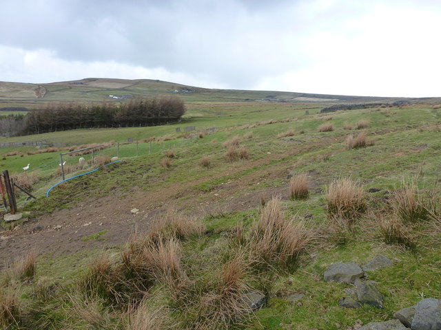
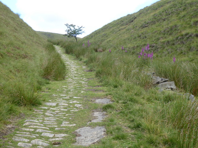
The hill is primarily composed of millstone grit, a type of sandstone that is prevalent in the Pennines. This rock formation gives Rough Hill its rugged and rough appearance, which is how it acquired its name. The hill is covered in a patchwork of heather moorland, grassy slopes, and rocky outcrops, creating a diverse and picturesque environment.

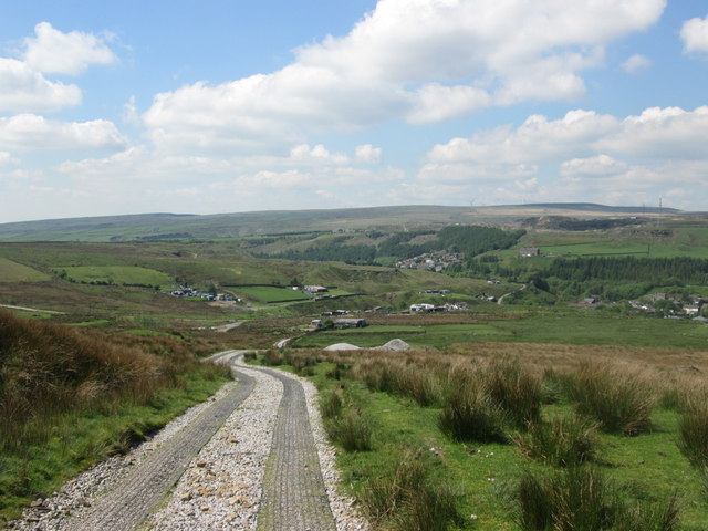
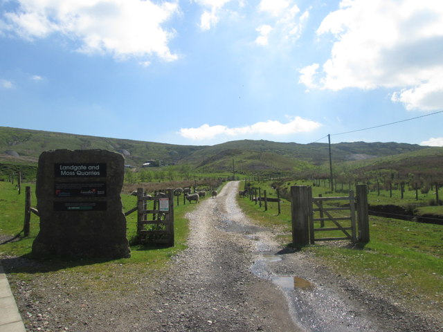
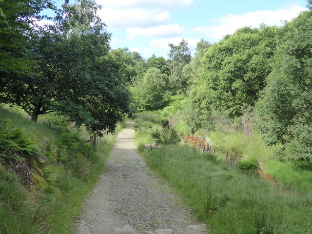
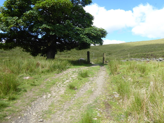
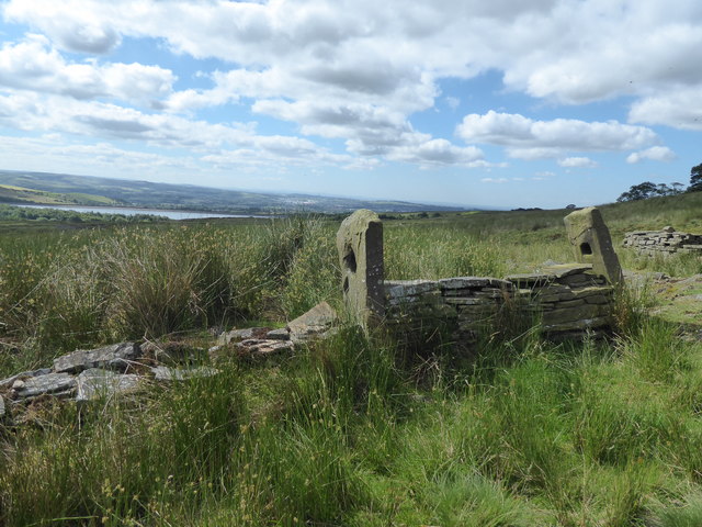
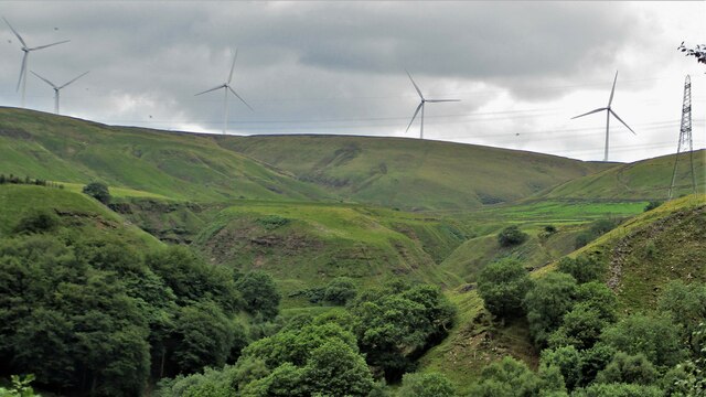
Rough Hill is a popular destination for hikers, nature enthusiasts, and outdoor adventurers. Several footpaths and trails crisscross the hill, providing opportunities for exploration and enjoyment of the natural surroundings. The hill's summit offers a vantage point from which visitors can marvel at the sweeping vistas of rolling hills, wooded valleys, and distant peaks.

Wildlife is abundant on Rough Hill, with various species of birds, such as curlews and lapwings, making it their home. The moorland vegetation supports a diverse range of flora, including heather, bilberry, and cotton grass, adding to the hill's natural beauty.

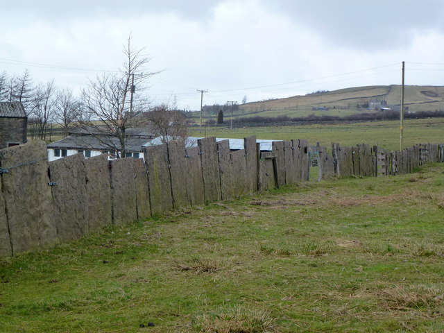
Accessible from nearby villages and towns, Rough Hill is a cherished part of Lancashire's countryside. Its unspoiled and tranquil setting makes it an ideal place for those seeking a peaceful retreat or an active outdoor adventure. Whether it's a leisurely walk, a challenging hike, or simply soaking in the stunning scenery, Rough Hill offers something for everyone.

If you have any feedback on the listing, please let us know in the comments section below.
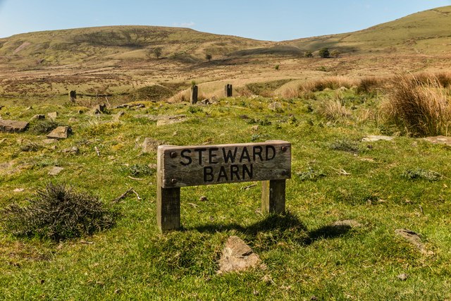
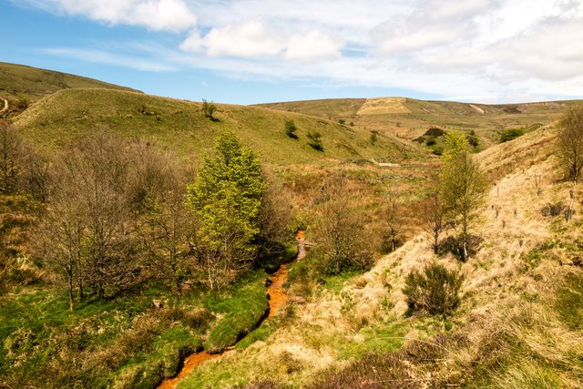
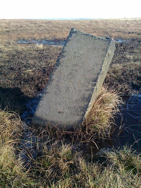
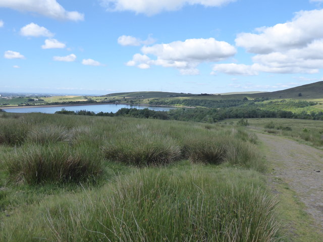
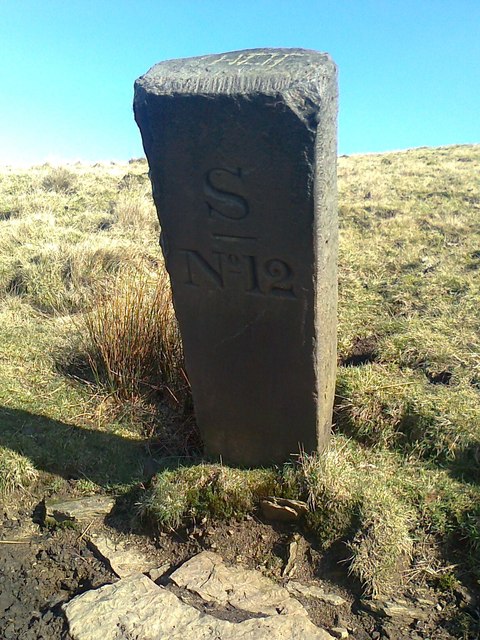
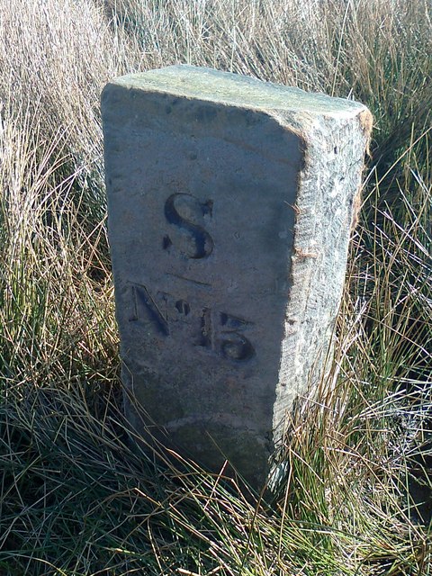
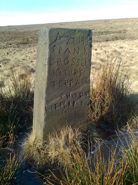
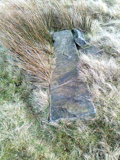
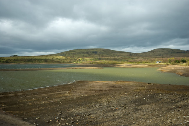
Rough Hill Images

Images are sourced within 2km of 53.67909/-2.1327768 or Grid Reference SD9120. Thanks to Geograph Open Source API. All images are credited.

Rough pasture and wood east of Shawforth
Vaccary Walling at Lower Trough
Descending to Shawforth from Knowsley
Entrance to the restored quarries
Steward Barn The remains of Steward Barn above Watergrove Reservoir.
Steward Barn
The remains of Steward Barn above Watergrove Reservoir.
Higher Slack Brook Higher Slack Brook above Watergrove Reservoir.
Higher Slack Brook
Higher Slack Brook above Watergrove Reservoir.
Old Boundary Marker on Stubley Cross Hill, Todmorden Parish Parish Boundary Marker in parish of Todmorden (Calderdale District), Stubley Cross Hill, 700m south east of Long Causeway Path.

Surveyed

Milestone Society National ID: YW_TODLIT03pb
Old Boundary Marker on Stubley Cross Hill, Todmorden Parish
Parish Boundary Marker in parish of Todmorden (Calderdale District), Stubley Cross Hill, 700m south east of Long Causeway Path. Surveyed Milestone Society National ID: YW_TODLIT03pb
The Pennine Bridleway Mary Towneley loop near Dobbin Hill
The Pennine Bridleway Mary Towneley loop near Watergrove Reservoir
View from the Pennine Bridleway Mary Towneley loop near Watergrove Reservoir
Old Boundary Marker Estate Boundary Marker on Brown Wardle Hill, on the west flank of Middle Hill. On the boundary of Whitworth and Wardle, now Whitworth and Rochdale. Inscribed S / ― / No 12 on its centre face.

Milestone Society National ID: LA_WHIWAR17em
Old Boundary Marker
Estate Boundary Marker on Brown Wardle Hill, on the west flank of Middle Hill. On the boundary of Whitworth and Wardle, now Whitworth and Rochdale. Inscribed S / ― / No 12 on its centre face. Milestone Society National ID: LA_WHIWAR17em
Old Boundary Marker Estate Boundary Marker on Brown Wardle Hill, on the west flank of Middle Hill. On the boundary of Whitworth and Wardle, now Whitworth and Rochdale. Inscribed S / ― / No 13 on its centre face.

Milestone Society National ID: LA_WHIWAR18em
Old Boundary Marker
Estate Boundary Marker on Brown Wardle Hill, on the west flank of Middle Hill. On the boundary of Whitworth and Wardle, now Whitworth and Rochdale. Inscribed S / ― / No 13 on its centre face. Milestone Society National ID: LA_WHIWAR18em
Old Boundary Marker Estate Boundary Marker on Brown Wardle Hill, 150 metres north of Middle Hill Quarries. On the boundary of Whitworth and Wardle, now Whitworth and Rochdale. Inscribed H and S on opposite faces.

Milestone Society National ID: LA_WHIWAR19em
Old Boundary Marker
Estate Boundary Marker on Brown Wardle Hill, 150 metres north of Middle Hill Quarries. On the boundary of Whitworth and Wardle, now Whitworth and Rochdale. Inscribed H and S on opposite faces. Milestone Society National ID: LA_WHIWAR19em
Old Boundary Marker east of Stubley Cross Hill Uninscribed Parish Boundary Marker east of Stubley Cross Hill. Plenty of 20C graffiti including the culprit's address! On the former boundary of Wuerdale and Wardle and Blatchinworth and Calderbrook townships in Rochdale parish, both separate parishes from 1866. From 1894 on the boundary of Wardle and Littleborough parishes. From 1974 an unparished area in Rochdale.

Milestone Society National ID: LA_WARLIT05pb
Old Boundary Marker east of Stubley Cross Hill
Uninscribed Parish Boundary Marker east of Stubley Cross Hill. Plenty of 20C graffiti including the culprit's address! On the former boundary of Wuerdale and Wardle and Blatchinworth and Calderbrook townships in Rochdale parish, both separate parishes from 1866. From 1894 on the boundary of Wardle and Littleborough parishes. From 1974 an unparished area in Rochdale. Milestone Society National ID: LA_WARLIT05pb
Old Boundary Marker Fallen and uninscribed Parish Boundary Marker at Stubley Cross Hill, 800 metres southeast of Long Causeway Path. On the former boundary of Walsden, West Riding and Shore, Lancashire; now Todmorden, Calderdale district and an unparished area of Rochdale district. 

Milestone Society National ID: YW_TODLIT02pb
Old Boundary Marker
Fallen and uninscribed Parish Boundary Marker at Stubley Cross Hill, 800 metres southeast of Long Causeway Path. On the former boundary of Walsden, West Riding and Shore, Lancashire; now Todmorden, Calderdale district and an unparished area of Rochdale district. Milestone Society National ID: YW_TODLIT02pb
White Slack Clough View from Strines Lane to the very steep sided Cloughs South of Ramsden Clough. White Slack Clough is the one on the left, the other is unnamed
White Slack Clough
View from Strines Lane to the very steep sided Cloughs South of Ramsden Clough. White Slack Clough is the one on the left, the other is unnamed
Show me another place!

Rough Hill is located at Grid Ref: SD9120 (Lat: 53.67909, Lng: -2.1327768)

Unitary Authority: Rochdale

Police Authority: Greater Manchester

What 3 Words

///ooze.swept.races. Near Walsden, West Yorkshire

Related Wikis

Brown Wardle Hill

Brown Wardle is a hill between the village of Wardle, Greater Manchester and the town of Whitworth, Lancashire, England. The summit is on the border of...

Shawforth

Shawforth ( SHAW-fərth) is a ward in the township of Whitworth within the Rossendale borough of Lancashire, England. It lies amongst the South Pennines...

Shawforth railway station

Shawforth railway station served Shawforth near Bacup, Rossendale, Lancashire, England, from 1881 until closure in 1947. == References == Suggitt, Gordon...

Watergrove Reservoir

Watergrove Reservoir is a reservoir close to Wardle in the Metropolitan Borough of Rochdale, within Greater Manchester, England. Rochdale Corporation...

Nearby Amenities

Located within 500m of 53.67909,-2.1327768
Rough Hill
Created By: Potlatch 0.4c
Natural: peak
Lat/Long: 53.6791814/-2.1347056
Wall Nook Farm
Ruins: farmhouse
Lat/Long: 53.6758367/-2.1354997
Generator Method: wind_turbine
Generator Output Electricity: yes
Generator Source: wind
Generator Type: horizontal_axis
Power: generator
Source: survey
Source Geometry: DigitalGlobe-Standard
Lat/Long: 53.6768386/-2.1286007
Generator Method: wind_turbine
Generator Output Electricity: yes
Generator Source: wind
Generator Type: horizontal_axis
Power: generator
Source: survey
Source Geometry: DigitalGlobe-Standard
Lat/Long: 53.6795773/-2.1285363
Generator Method: wind_turbine
Generator Output Electricity: yes
Generator Source: wind
Generator Type: horizontal_axis
Power: generator
Source: survey
Source Geometry: DigitalGlobe-Standard
Lat/Long: 53.6811659/-2.131358
The data included in this document is from www.openstreetmap.org. The data is made available under ODbL.

Have you been to Rough Hill?

Leave your review of Rough Hill below (or comments, questions and feedback).